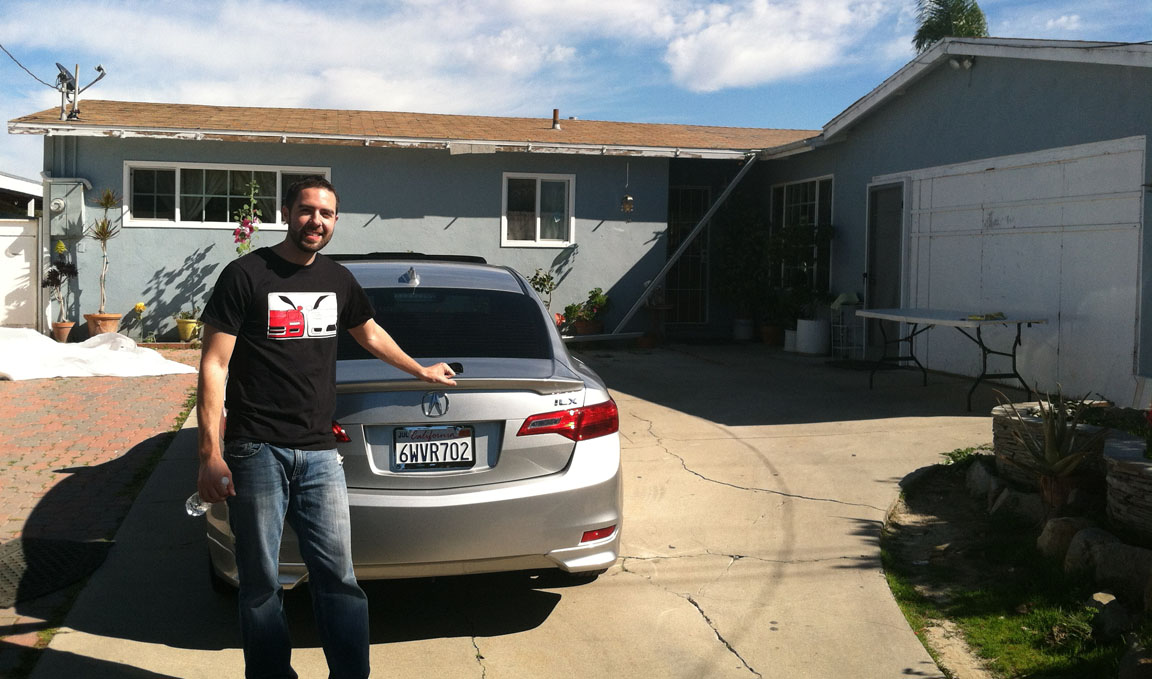
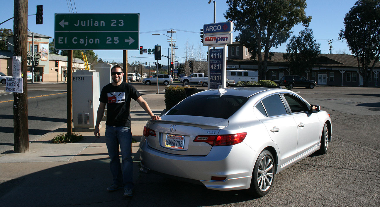
Trip to San Diego, California in the ILX
Odometer (ILX): 28,229

I love southern California. From 2001-2003, I lived in north San Diego County. Over the last 10 years, I’ve traveled back frequently. This time, I decided to take my friend Jack along for the ride. Here’s what our route looked like:
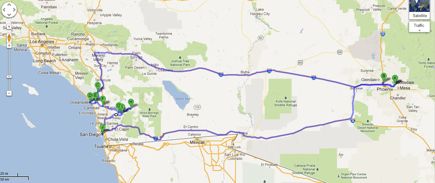
- Trip distance: 882 Miles
- Observed fuel economy: 32.0 MPG
- Other Acura ILXs seen on the road: 0
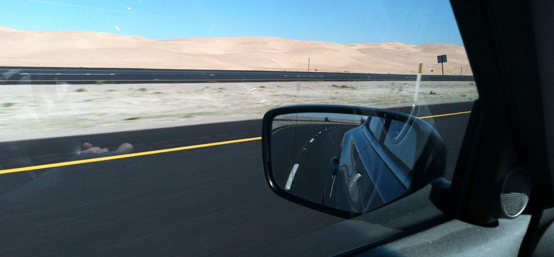
6:30 a.m. came bright and early on Saturday morning. I watched the sun rise in my sideview mirror as we made our way westbound on Interstate 10.

Treat stop in Tonopah, Arizona at 339th Avenue. Dawn in the desert is a beautiful time of day with its soft light.

Shortly after the crossing the California state line, we had to stop for a mandatory California Agriculture Station inspection. Though, it was hardly an “inspection,” since the representative merely waved me onward and we rolled past.

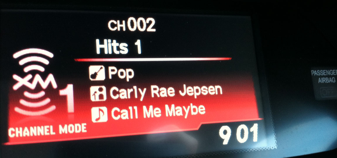
Jack’s favorite song came on my Sirius XM radio so we had to sing along. I think I had it stuck in my head for the entire rest of the day.
Once again I’ve maxed out the timer on my ILX’s information display in the gauge cluster.

This fuel stop at Chevron near Indio, California looked a bit like a Honda meet, with a silver Accord and an Acura RSX joining the party. Premium (91 octane) fuel ran $4.59 per gallon. I topped off the ILX’s 13-gallon tank and we were on our way.
![]()
Jack and I soon passed the San Gorgonio Pass Wind Farm, home to over 3,000 windmills. The blades on each one of these windmills are 116 feet long and when they’re spinning, they sweep an airspace of just under an acre!

From I-10, connected with US-60 west and then I-215 south, which turned into I-15 south. Soon we arrived at our first destination.
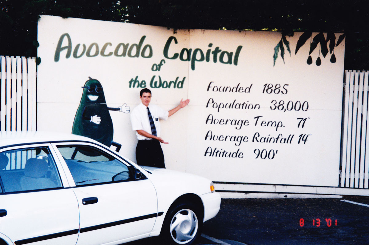
One of the towns that I lived in was Fallbrook, located in northern San Diego County. At the time, I was volunteering as a representative of my church and Fallbrook was my assigned area. The town’s claim to fame is that it is the “Avocado Capital of the World.” There’s an avocado festival held each year in the spring. Southern California is home to 59,000 acres of avocado groves, accounting for 95% of the United States’ avocado production. I’m getting hungry!
August 13, 2001
I was 19 years old and driving a church-issued Chevy Prism.
February 16, 2013
Age 31 and driving a 2013 Acura ILX.

Notice that the sign has changed slightly over the last decade. The font and image are different, the population has gone from 38,000 to 44,000 and somehow the city’s elevation has mysteriously “sunk” from 900 feet to 685 feet!

Highway 76 took us toward the Pacific Ocean. Soon we were breathing that fresh humid air and the water was in sight!

The “Strand” is a stretch of road that winds along the beach in Oceanside.
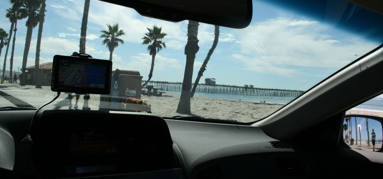
The ILX found its way to some convenient hourly parking while we wandered to lunch and soaked up some sunshine in 79 degrees.

This is the view on the Oceanside Pier. It was first built in 1888 (but has been rebuilt several times since then). It’s 1,954 feet long, making it the longest wooden pier on the west coast.


At the end of the pier is a restaurant called Ruby’s. I had a mushroom, Swiss, avocado burger and it was excellent! Here are a few other sights from around the area.


I paid a visit to a couple of great families in the area, including the Cordadas:
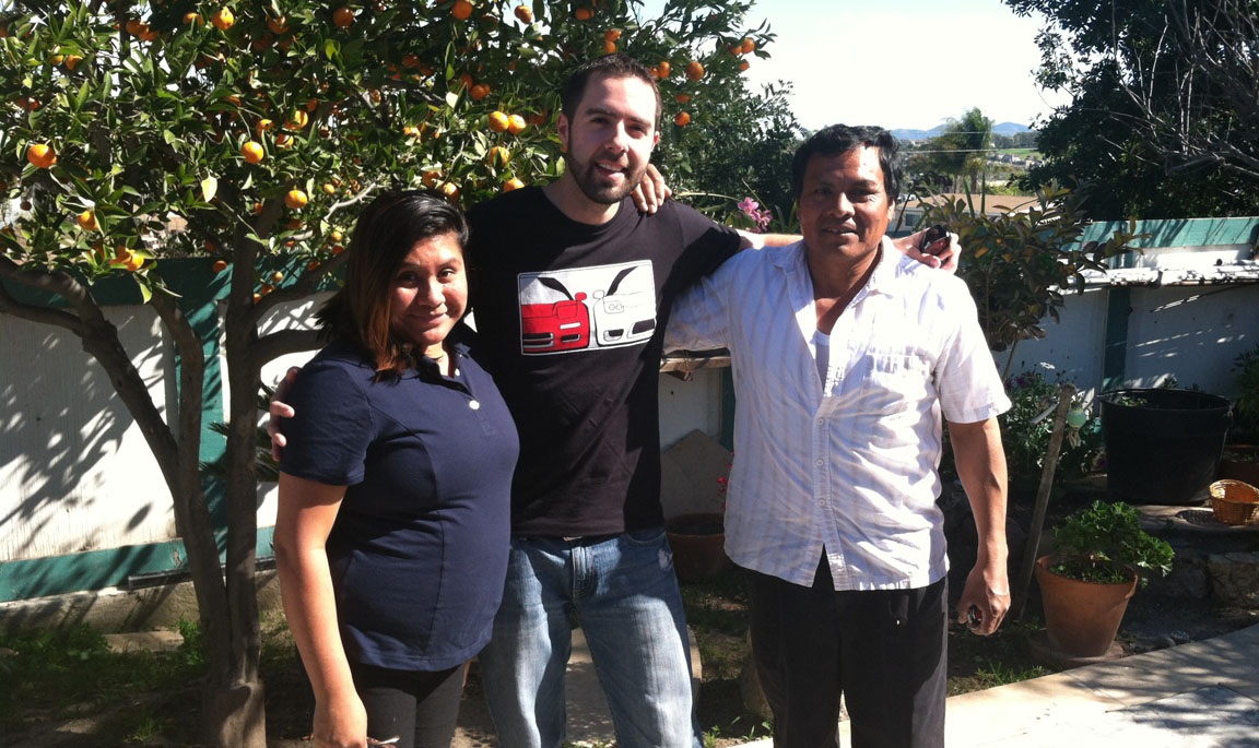
And the Linvilles, Veronica and Renzo. The picture I was holding here is a shot from 2001 when I used to visit them regularly.
These cookies are called “alfajores.” They’re Peruvian and have dulce de leche filling. Veronica knows how to spoil me!

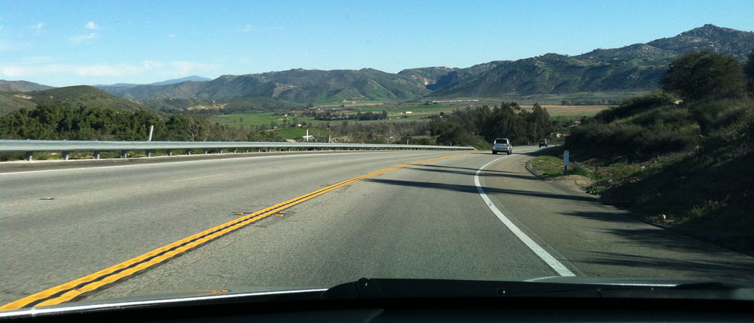
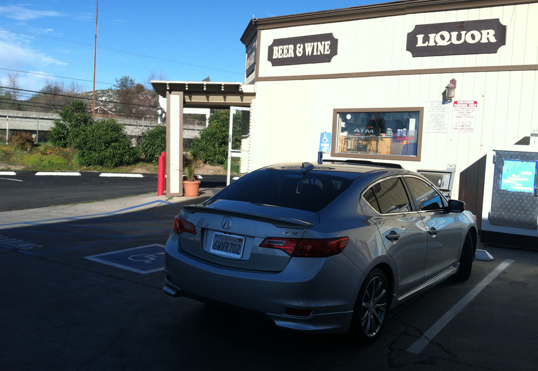
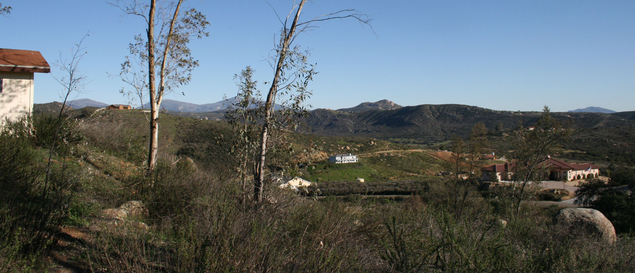
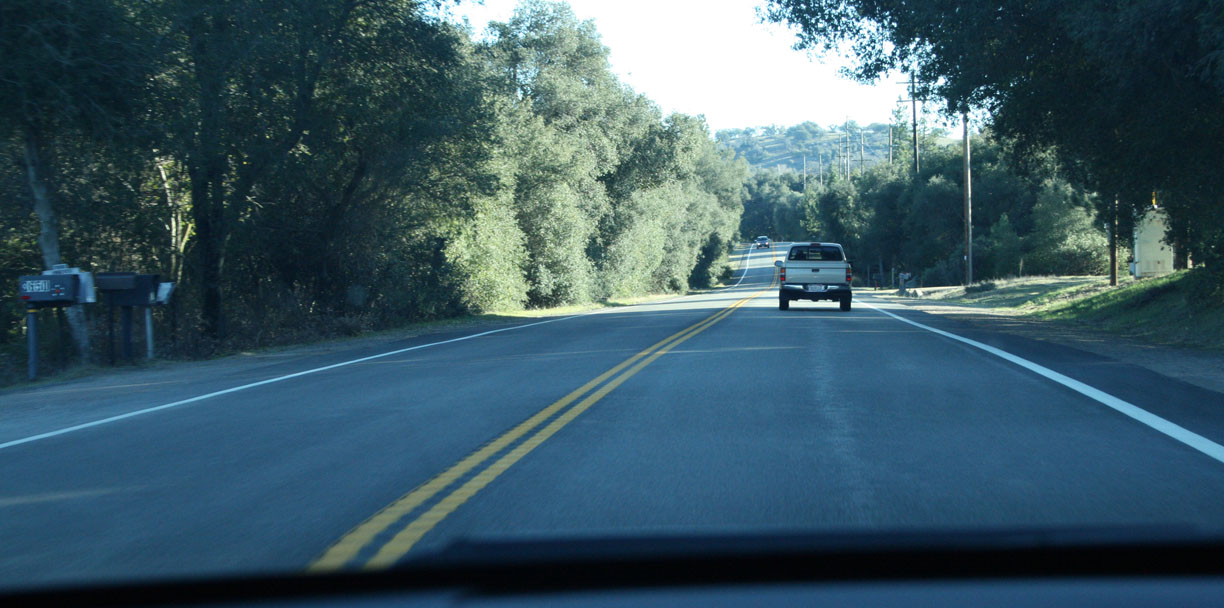
Our next journey would take us through Escondido (Spanish for “hidden”) on California State Route 78, also known as the San Pasqual Rd. We climbed from Escondido’s 600-foot elevation through a series of tight, banked curves up the hillside. Soon we arrived on Main Street in Ramona, at 1,400 feet.
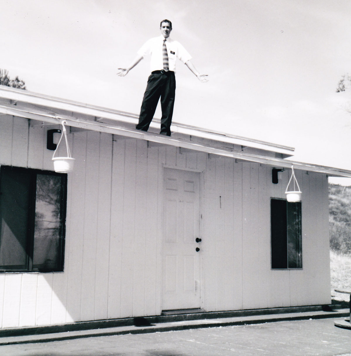
I lived in Ramona for about six months in late 2001. The below is a picture that was taken of me back then. While the town is only about an hour or less from downtown San Diego, it definitely feels quite remote and is a taste of the “countryside” for those in San Diego who wish to retreat from the hustle and bustle.

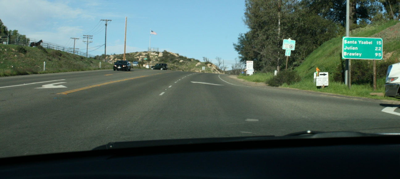
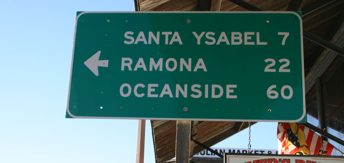
Ramona, interestingly enough, is referred to as the Valley of the Sun — as is my hometown, Phoenix, Arizona. Jack and I grabbed drinks at a gas station where the 78 highway arrives into town. We’d soon be traveling those remaining 23 miles (see the sign in the background) of country roads to Julian.

Heading eastbound from central Ramona.
We made a quick side-trip to see the home that I lived in during my time in Ramona. It was actually a converted horse stable – a two-room tiny dwelling. It didn’t have (or need) air conditioning but we used a space heater during winter months. Why I was standing on the rooftop when this was taken in 2001, I have no idea.
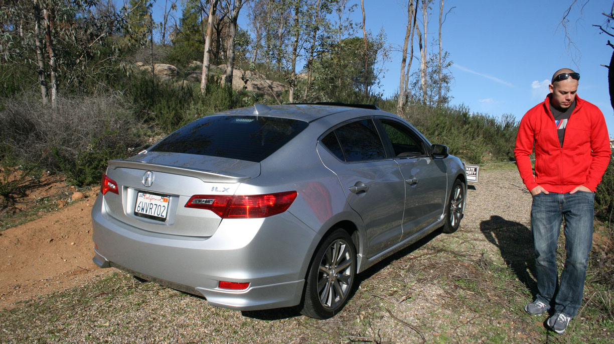
Yesterday, this was as close as we could get, due to a posted “No Trespassing” sign. The property may have changed owners.

The view, however, was every bit as great as I remembered it being.

We began to climb even further in elevation as we approached Julian. This tiny town owes its heritage to the mining industry and it experienced a gold rush after ore was discovered there in 1869.
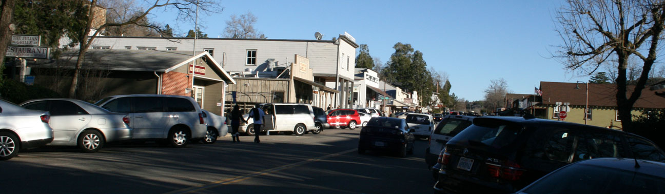
Main Street in Julian was bustling with tourist activity. This guy was offering carriage rides with his miniature horse.

We parked and took a walk around.

Here’s a look at Main Street in Julian. This place is most famous for its apple pies. Still full from lunch at Ruby’s, we didn’t partake this time, but I’ve had the pies before and they’re amazing.
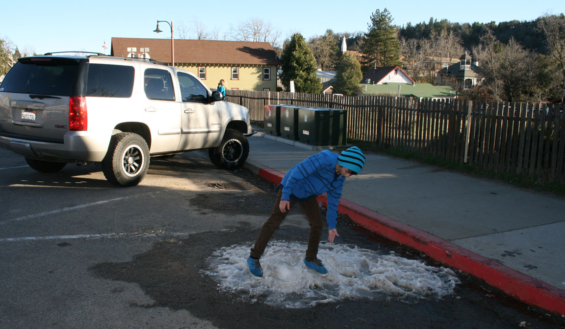
The town sits at over 4,200 feet – high enough that snow storms are common during the wintertime. Weather was amazing during our visit, but there were piles of melting snow scattered in various locations along Main Street.
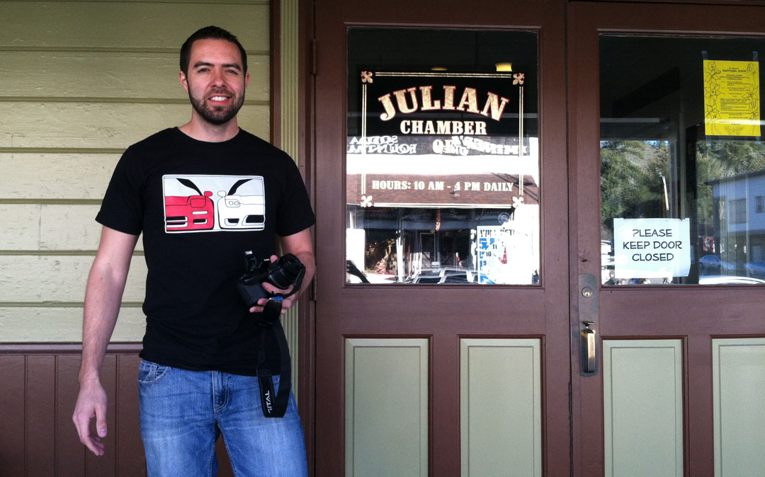
I took a peek inside the Chamber of Commerce.
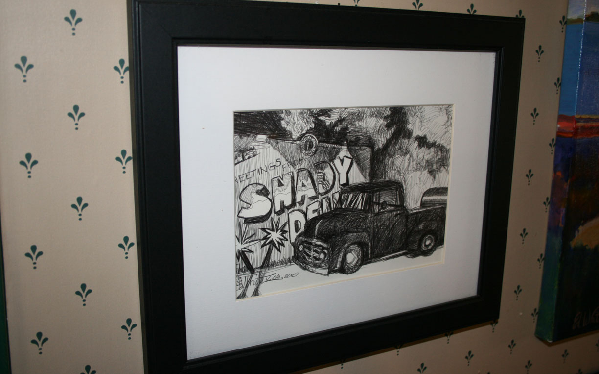
When I saw the below picture hanging inside a Julian coffee shop, it caught me by surprise. It’s a sketch of an old Ford pickup parked in front of a place called Shady Dell. Shady Dell is located in Bisbee, Arizona, 478 miles away from this location! I was just there a few weeks ago in the Legend.
More from Main Street, Julian:


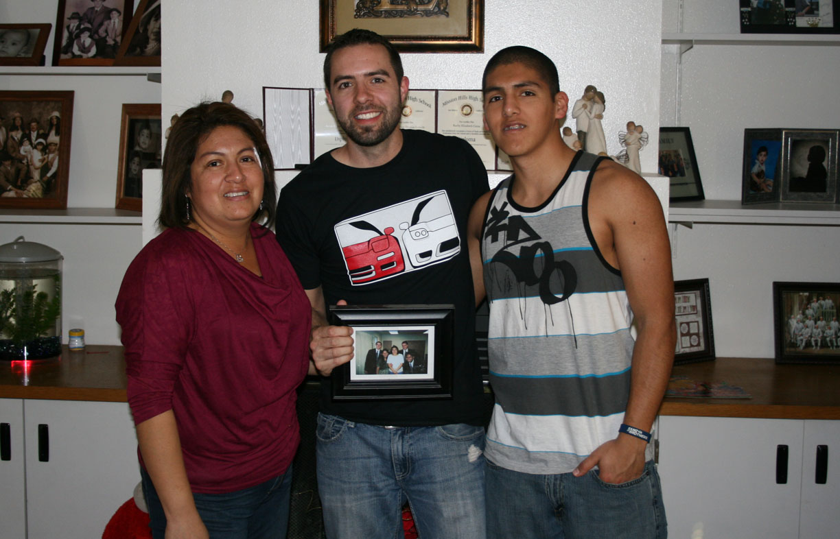
Dropping back down the hill toward sea level, we popped in to see the McBrides – these are some of my favorite people.

We took Highway 67 to Poway Road into Poway, then got on Interstate 15 southbound to Highway 163 southbound. For those who may someday travel to San Diego, make some time for dinner at Luna Grill Mediterranean Cuisine on University Avenue.

The chicken kabob was absolutely amazing!

This morning at the Best Western, the ILX awaited us anxiously for its 367-mile final leg of our journey, back home to Scottsdale, Arizona. Jack drives a yellow BMW M3 6-speed, but he enjoyed his time in the passenger seat of the ILX. He also took full advantage of the seat heaters. It was a gorgeous 76 degrees outside during the drive home, yet he had the seat heater in “HI” position the whole time!

For most of this last part of the trip, we stayed on Interstate 8 which runs along the Mexican border. There are a number of places where motorists can look to the south and see the international border fence very close to the freeway. There are also multiple stretches of this road that actually dip below sea level. Just west of Yuma, Arizona, we rolled through the Algodones Sand Dunes.
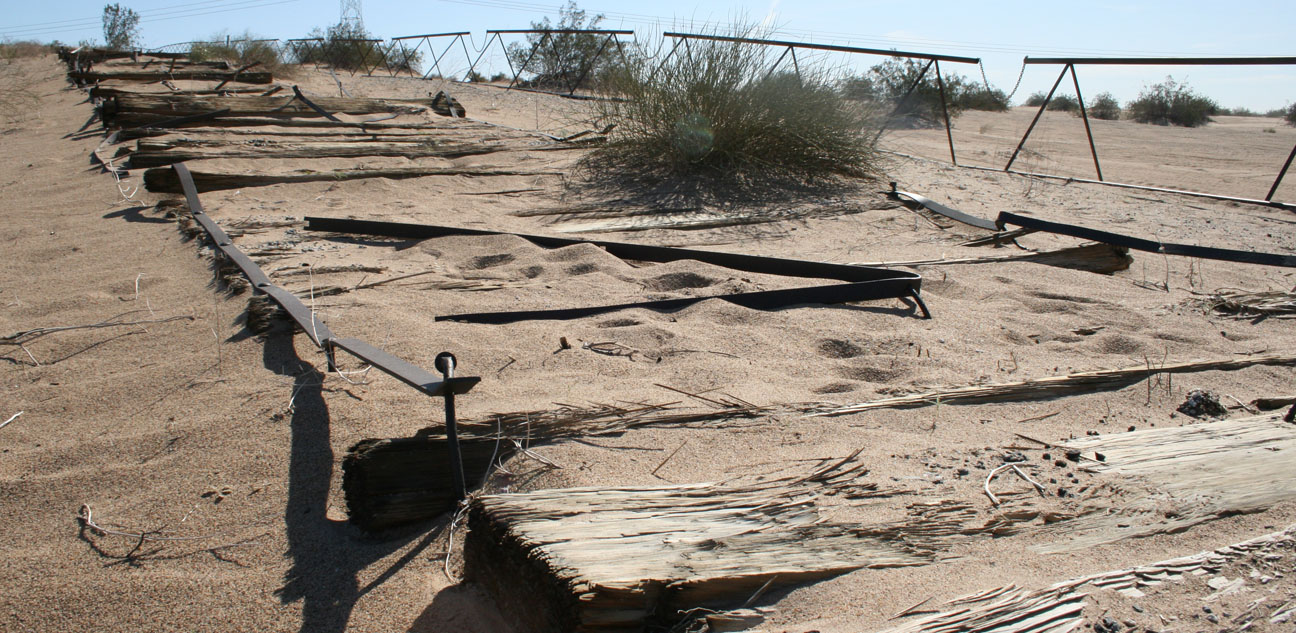
The dunes cover an area 45 miles long and 6 miles wide. A hundred years ago, it was nearly impossible to traverse these sand dunes by car. But 98 years ago in 1915, a wooden “plank” road was installed over a 7-mile stretch. See the background of this picture:

Almost all of the plank road has since been removed or otherwise destroyed. Just a very small section remains for display purposes. It is very weathered:

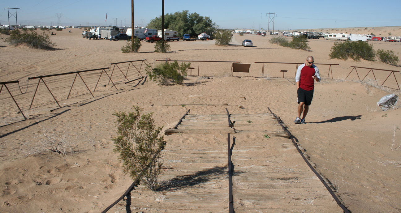
The road was used between 1916 and 1926. The marker in the below picture was put in place October 16, 1971. It reads:
This unique plank road seven miles long was the only means early motorists had for crossing the treacherous Imperial Sand Dunes. The eight by twelve foot sections were moved with a team of horses whenever the shifting sands covered portions of the road. Double sections were placed at intervals to permit vehicles to pass. California Registered Historical Landmark No. 845.

The ILX awaits in the distance. I didn’t cruise around the sand dunes much because I didn’t want to get stuck! Today, the Algodones Dunes are used by a variety of recreational vehicles. Jack and I saw a bunch of people out cruising around on ATVs.
That was our two-day SoCal adventure! Exhausting, yes. Worth it? Without a doubt.

February 17, 2013 at 11:02 pm
What a fun trip! You hit many of my favorite spots and I hope you had apple pie and a malt while in Julian! 🙂
February 18, 2013 at 7:55 am
Hey Ben, we were so full from our lunch in Oceanside that we didn’t opt for any apple pie in Julian, but in retrospect I should’ve at least bought a pie to-go! I could’ve brought one home to you. I’ll be going back again this summer, I’m sure. We had a great time wandering through some of the gift shops. There’s a restaurant just down the road in Wynola (Wynola Pizza Company) that I need to get back to as well. Let’s go!
February 18, 2013 at 3:51 am
Tyson, you live life to the fullest!
February 18, 2013 at 8:00 am
Gotta make the most of every day, Kevin! I hope our paths intersect at some point in the not-too-distant future. Thanks for joining the ride.
February 18, 2013 at 9:28 am
$4.59 Per gallon ouch what is it going to be like this summer : / They jinxed it! They said that gas would top out at $3.50 a gallon this year as soon as they said that gas went from $2.99 to $3.43 I believe it was this morning.
February 18, 2013 at 9:35 am
You’re probably right. When I was going through my photo albums to find the pictures that I scanned for this post, I came across a shot of a gas station in Ramona taken in December 2001. Premium fuel was $1.39 / gallon. Wow.
February 18, 2013 at 11:00 am
That avocado has a hat now too! What I don’t get is why you aren’t mimicking his stance again!
February 18, 2013 at 11:35 am
You know, I should have been better prepared to replicate my 2001 picture – I could’ve put the car on the left side, worn my dress shirt & tie, and gone all out. But oh well. Even after having been gone for so long, the roads all feel just the same – infrastructure hasn’t changed much in that area. Now I’m wishing I would’ve stopped at the roadside fruit stand and picked up a bag of avocados for $5.
February 18, 2013 at 4:08 pm
Those two pictures of you standing next to the avocado capital of the world sign reminds me of this cnn story which fascinated me.
http://www.cnn.com/2012/07/26/travel/friends-summer-photo-tradition
The guys kept coming back to the same spot every 5 years for 30 years and took a picture posed in the exact same place. They are going to keep doing it as long as they can.
February 18, 2013 at 6:34 pm
Yes! I love any kind of “time lapse” documentation like that. In fact, I remember seeing a lot about the Copco Lake guys when they celebrated their most recent anniversary. I even liked a Facebook page where they post updates:
http://www.facebook.com/FiveYearPhoto?ref=ts&fref=ts
Maybe I should return to that sign in Fallbrook in another 12 years. I’ll be 43. What will I be driving? Please say it’s a new NSX. Haha 🙂
February 20, 2013 at 4:01 pm
70 some degrees and you have the seat heater on HIGH? lol
Great write up Tyson! Keep on truckin’
February 20, 2013 at 7:59 pm
Haha, I agree, Dave! I thought Jack was crazy for leaving that thing cooking his butt the entire time! I wouldn’t be able to stand it. Weather’s turned chilly on us, all of a sudden. Check out today’s post on some teeny snow flurries we actually got here in Phoenix. Never seen such a thing!
June 20, 2013 at 8:14 pm
What a fun trip to San Diego. I have heard it gets quite hot there. From your photos, it looks like the weather treated you well. Thanks for sharing!