Roadtrip with Dad Part 2: Ketchum, ID to Missoula, MT
Odometer (Legend): 533,697

Odometer (ILX): 130,000
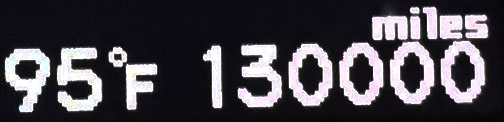
Leg Distance: 318 Miles

Welcome back for Part 2 of this past weekend’s road trip! Part 1 is here.
It was a picture-perfect morning in Ketchum, Idaho on Saturday morning: cloudless and sunny with just enough of a nip in the air to require a light jacket. After a quick walk down the block to a log cabin Starbucks from the Tamarack Lodge for a light breakfast, we hit Highway 75 in the ILX and headed out of town. The two laner was completely ours for the taking – it seemed we had beat the peak RV season and we were out early enough that there was little to no traffic. It became apparent when my ears popped that we were quickly going upward in elevation.

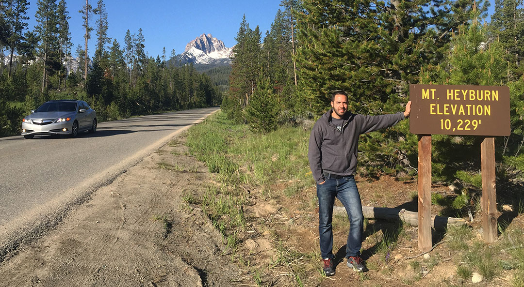
At 8,701 feet, we crossed over the Galena Summit and a whole new view opened up to us as we started our way back down the backside in the Sawtooth Wilderness. The next several miles, we looped back and forth across the switchbacks as dad eyeballed a few dozen antelope out on the mountainside. The highway straightened out a bit when we got to lower elevations and I was able to set the cruise just momentarily at 65 or so. We came up on a sign announcing the exit for Redfish Lake and I’d been highly recommended by my grandpa that we stop there, so I hit the brakes and headed left toward some campsites along the lakeside. Looming ahead of us was snow-capped Mount Heyburn at 10,229 feet.
Following some hand-written notes from my grandpa, I knew we had just a bit longer to go until we’d be seeing a place called Sunbeam Dam along the roadside. I came around a corner at one point and saw smoke rising from the hillside ahead. “Whoa, looks like a fire,” I said. Dad quickly corrected me – I was looking at rising steam from a geothermal ‘hot spot’ rather than smoke from flames. That was enough reason to kill the ignition of the ILX for a few minutes and get a few pictures.
Sunbeam Dam ended up being just a couple of miles further. Originally poured in 1910, Sunbeam Dam caused the Salmon River to become a small lake in that area. A hydroelectric power plant on-site provided power to a gold mine 13 miles up Yankee Fork Canyon. However, only 11 months later, that mining venture had gone bottom-up and the power plant was sold off at Sheriff’s Auction. In 1934, the dam was partially blown up, allowing water to begin flowing freely along one side of it. Today, there’s still half the dam standing.

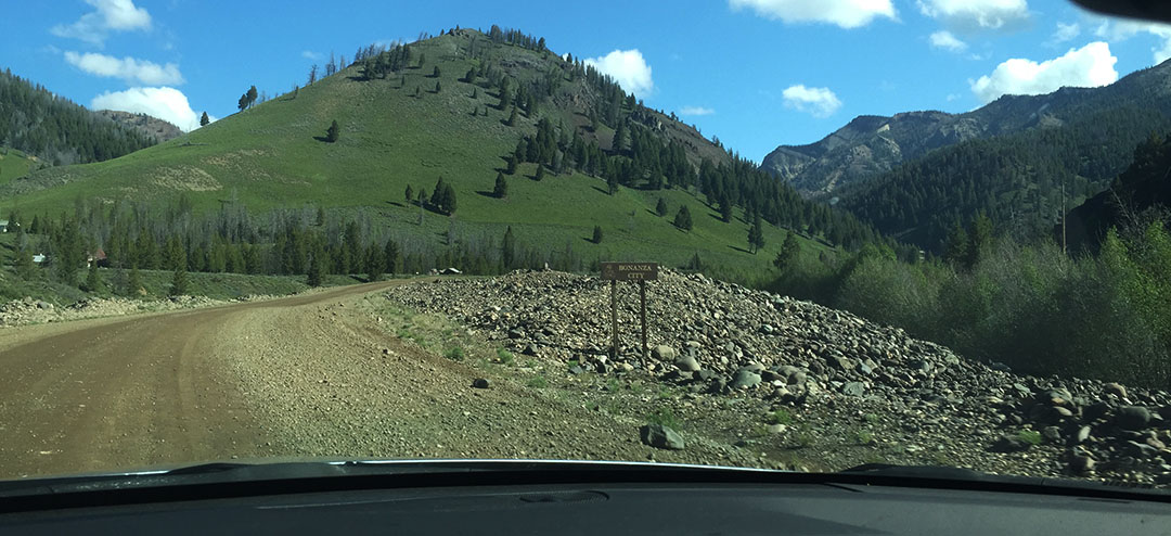
It was here where we found the starting line to our next adventure. The Yankee Fork Road that took off to the north looked a little bit unimproved but we were determined to head up there and get an up-close look at a historic gold dredge. For the first few miles, pavement was good but the road was narrow and there was no center line. Puddles in shaded areas told us that it had rained a fair amount overnight. In a few miles we met the inevitable “PAVEMENT ENDS” yellow sign and I put the ILX into 4-wheel-drive (just kidding). We continued to sail along at 35 or so miles per hour because the gravel road was well-graded and not all that more uncomfortable than the paved one. Alongside our car we started seeing huge piles of gravel and boulders, heaped up in mounds that were often many times taller than my car.
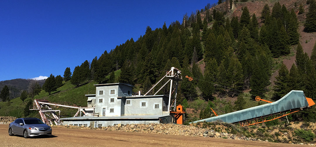
There was no question when we had arrived at the Yankee Fork Gold Dredge. It’s a metal monstrosity, 4 stories tall, 112 feet long and weighing in at a whopping 988 tons. Since self-guided tours wouldn’t be starting until 10:00 a.m., we had a bit of time to kill, but that was perfect. We looked at our clock and it was around 9:30 in the morning. That meant we had just enough time to go 1 mile further up the road to see a ghost town called Custer.
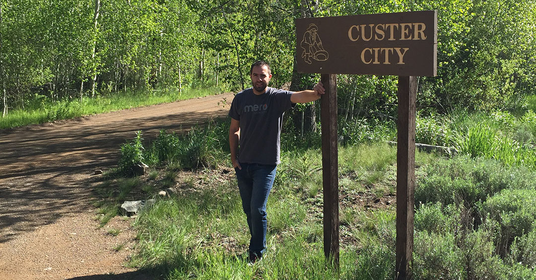
I didn’t know it was possible to make a speed bump out of a dirt road, but somehow they did. It was actually not so much a bump as it was a huge rut in the road. Luckily I’d seen the sign that said the speed limit was 10 miles per hour so I had time to prepare for it. Custer, once home to a couple dozen structures, had succumbed to the same fate that so many other wild west towns have – it was founded as a mining establishment and at one time was home to 600 hearty people at its peak in 1896.
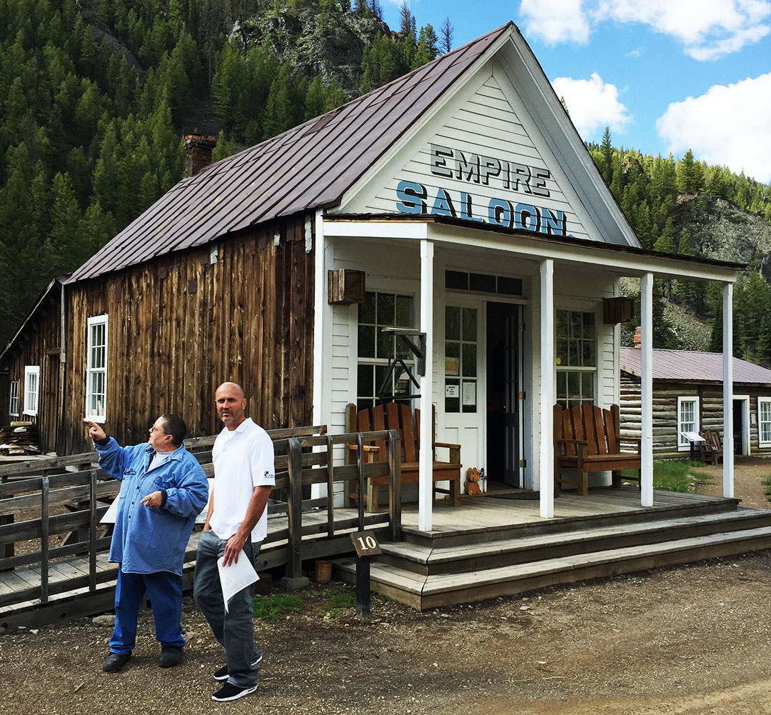
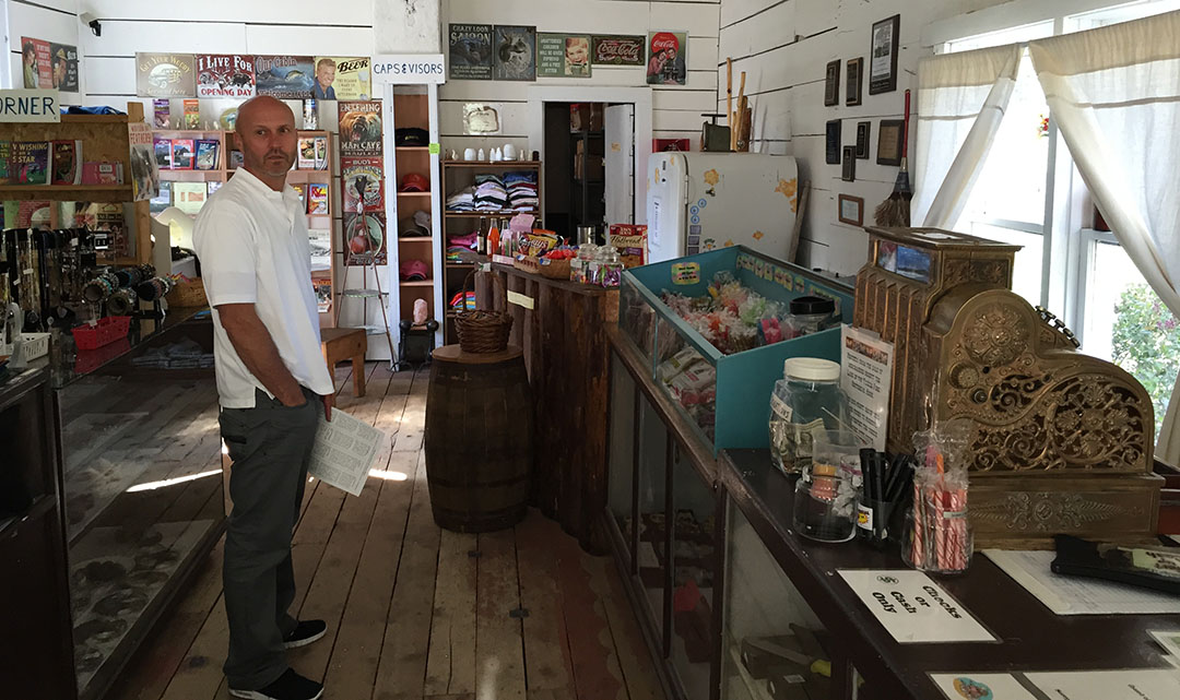
Only seven years later, the mining business had started to fade out, and by 1910 Custer was already considered a ghost town. Dad and I parked next to the Empire Saloon and went inside to take a look. There was a Forest Service representative there who was very friendly. She pointed to a log-constructed section of the bar down at the end of the room. “That’s an original piece of the actual bar. It’s over 110 years old.”

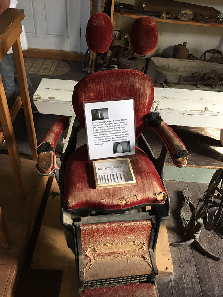
Today, seven of Custer’s buildings qualify to be on the National Register of Historic Places. We went inside a couple of them, including the schoolhouse which is now a museum and which houses some neat artifacts like the original 1901 dentist’s chair, some desks from the original school, and a tiny scale model in a plexiglass case that shows what the layout of the town used to be like before so many of its buildings were burned down, destroyed, or fell to ruin.
By now it was time to head back to the Yankee Fork Gold Dredge. This engineering marvel was in operation for only 12 years, from 1940 until 1952. When it was put in operation, there was an estimated 11 million dollars’ worth of gold in the 5-mile claim of the Yankee Fork River in which it operated. The dredge was a huge mobile machine that could move (slowly) upstream and use its 71 (8-cubic-foot-each) buckets to dig up land. Then the diggings would go through a number of steps including settlement in “sluice boxes” where the heavier gold would settle to the bottom. The evidence of the dredge’s work remains even 63 years after it last ran – huge hills of gravel and boulders line the entire length of the Yankee Fork Road all the way down to its intersection with Highway 75.


My dad and I took a walking tour of the entire machine and I was amazed at the work that went into it. During its operation, the dredge was manned by only 3 people: one inside the 4th floor control room, and two who were dedicated only to keeping things oiled and lubricated. The dredge was so loud when in operation that the workers had to use a sort of morse code to communicate messages to one another, and it was rumored that the dredge could be clearly heard running from over 10 miles away. By the time the company had dredged its entire claim, it had recovered $1.2 million worth of gold. That’s nowhere near the estimated $11 million that was thought to be available, but still a good chunk of money in 1952 dollars.

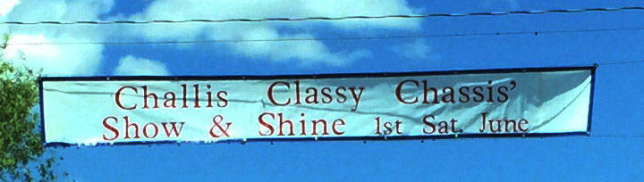
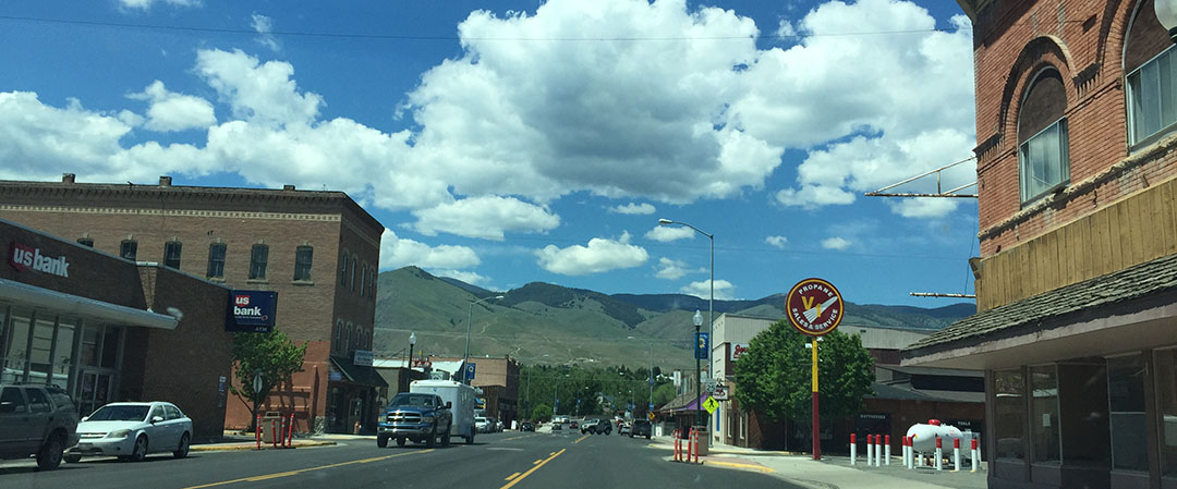
We’d started getting a bit of an appetite, so we were glad to get back to paved road and continue our trip along the Sawtooth Mountain Range. The next city of note would be Challis. Gleaming chrome bumpers in the sunlight were visible from many blocks away when we started approaching town. Little did we know – the first weekend of June is when the “Challis Classy Chassis” event takes place, drawing dozens of hot rods and muscle cars for a show on the grassy lawns lining the highway through town.
First order of business was finding a bite to eat so we stepped into one saloon that looked like it might have potential. We quickly decided against that one and ended up going down the road to a place called the Village Inn. But it’s not the Village Inn you’re thinking of. This one was definitely a hometown operation. We had the entire wait staff at our attention. I grabbed a root beer and a bacon burger, along with a side of “famous” Idaho fries that were huge. Idaho is so proud of its agriculture that its license plates say “Famous for Potatoes.” Upon learning I was from Arizona, the waitress asked, “So you guys don’t have fry sauce down there?” I of course know what fry sauce is but I answered her that no, we don’t get a whole lot of that in Phoenix.

We continued on up the road with our sights set on Salmon, Idaho. The main road through town looked a bit like other historic Rocky Mountain towns I’ve seen – brick storefronts and a saloon on just about every street corner. Dad was driving at this point and he knew of a place to pull off and hike into a grassy park along the Salmon River. We wandered across a foot bridge that spanned the mighty Salmon and sat down on the grass on the other side. I couldn’t resist the temptation to take off my shoes and socks for a few minutes and dip my feet in the water to test out its temperature.

I got a little thirsty by the time we got to North Fork, about 20 miles north of Salmon, so we stopped at the all-in-one post office / gas station / convenience store and snagged a couple of Hubert’s bottled blackberry lemonades to take back on the road. “Chains Advised” said a sign along the road, so we knew we’d again be heading upward in elevation as we approached the Montana state line. Sure enough we ascended to a little over 7,000 feet yet again and it was prime time to throw the sunroof open for a little top-down cruising on the twisties after we got a picture at the Montana entrance sign. I took the opportunity to capture a little bit of Go-Pro footage at that point.

Some of the Montana towns we visited felt like they were frozen in time. A store in Darby had a huge sign out front “VCR and Video Rentals.” What? When was the last time you ever needed to rent a VCR, or even saw one in real life? We couldn’t resist the temptation to step into a thrift shop that was just chock-full of a hodge-podge of wares. The woman at the front counter greeted us with a cheery face as she looked up just briefly from her solitaire game. Not computer solitaire, of course. The real kind, with actual cards.

“I could handle living in this town,” dad said of Hamilton, Montana. It seems like just the right size of town: a few stoplights, a Pizza Hut, and a hardware store. What more do you need? Oh yeah – there are mountains galore in the periphery. Snow-capped peaks to the west, green pine-covered mountains to the west, and likely countless herds of wildlife thriving in the wilderness. THAT, I think, was the biggest selling point to my outdoorsman dad. We parked the ILX on Main Street and wandered around for a few blocks. Interestingly enough, most of the shops closed down at 5 or 6 p.m. on Saturdays. I guess most people prefer to spend the weekend nights at home – not a bad strategy. It’s just a huge change coming from the urban Phoenix metropolis where even the dry cleaners are open 24/7.
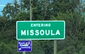
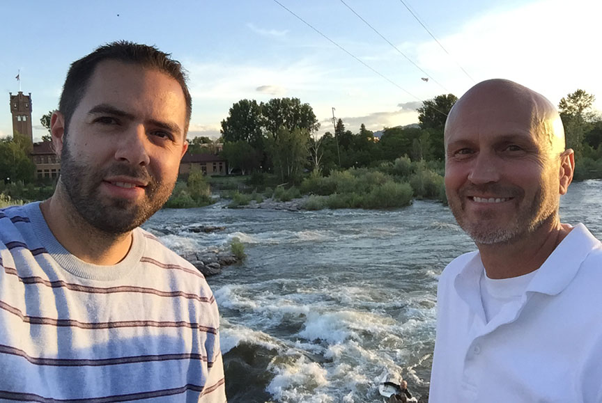
Dad plugged in our Comfort Inn to his iPhone and let the pleasant voice navigate us all the way into Missoula about 40 miles north. We took off on Reserve Street and headed on toward downtown where our hotel was on Broadway. The view from our 4th floor room was unbelievable – a perfect vantage point overlooking the Clark Fork river flowing westbound. It felt great to rest for a few minutes before venturing back out.
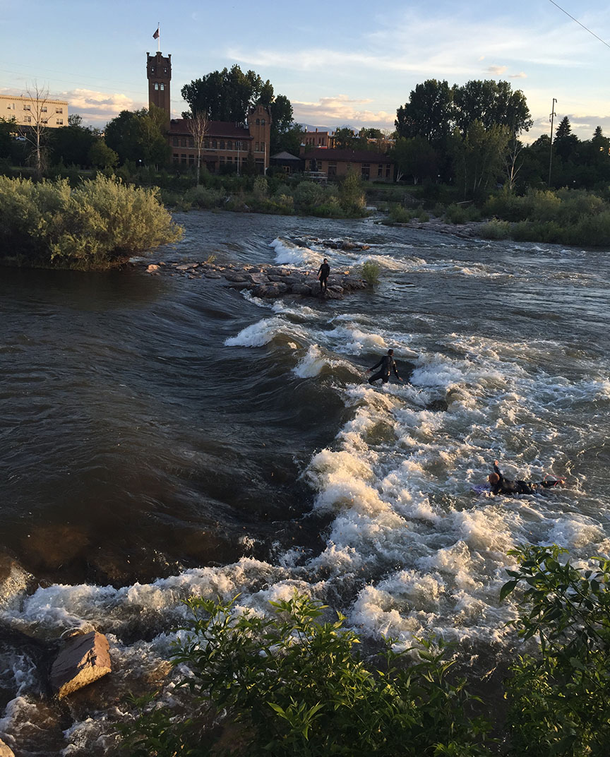
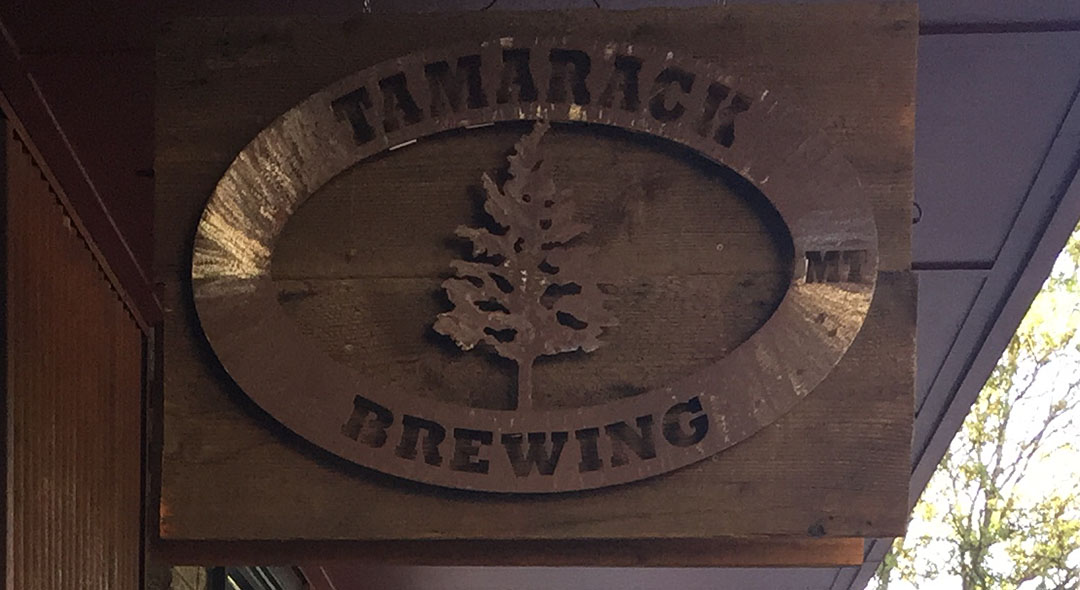
Dad had gotten a dining recommendation from the attendant at the front desk for the best place in town to eat. It was just 1.2 miles away in the downtown area, just a block away from the river. Tamarack Brewery was the name of the joint, and they gave me a Cobb Salad that could have easily fed 3 or 4 people. The Clark Fork was a popular place for surfing. There were several people in kayaks and with surfboards taking advantage of a huge curling wave along the river. We were able to watch from a wooden deck at the river’s edge for several minutes as the sun began to set.
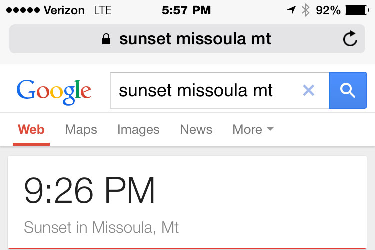
Speaking of sunset, I couldn’t get over how late it stays light outside up north! It wasn’t sundown until about 9:30 p.m. By that time, we were sitting on log chairs around a fire pit outside our Comfort Inn talking with a nice couple who were road tripping through the area from Calgary, Alberta.

8-minute video from our dredge tour
Morning in Ketchum

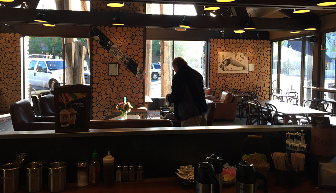
Starbucks in Ketchum with log cabin atmosphere & construction
Off we go!
Taken looking east near Galena Summit on Highway 75

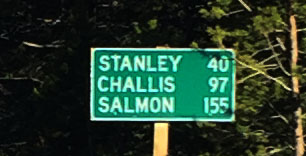
Most scenic gas station ever – Stanley, Idaho. Notice “Premium” is 90 octane, and it’s Ethanol-free.

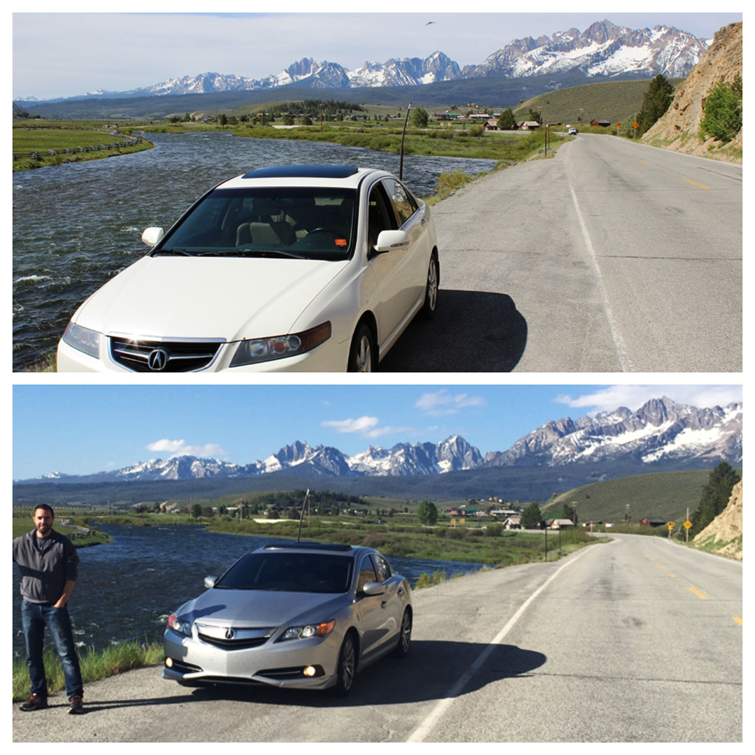
Photo-op along the Salmon River
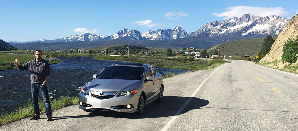
And a comparison with Josh’s photo that we were matching
Geothermal location between Stanley and Sunbeam Dam on Highway 75

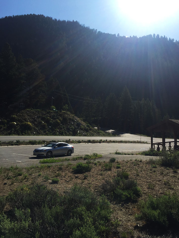
ILX at Sunbeam Dam parking lot
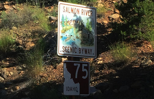
Salmon River Scenic Byway sign
Heading up Yankee Fork Road
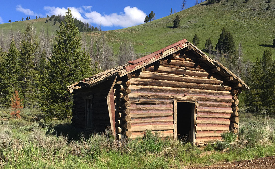
Abandoned cabin on Yankee Fork Road
Sign for tours of the Yankee Fork Gold Dredge

Arriving in the ghost town of Custer, Idaho

Dad inside the Empire Saloon in Custer
Signing in to the register. Notice only a few people sign in per day.

Original 1901 dentist chair in Custer museum
Gold dredge informational marker

The dredge sits in this small pond. It hasn’t moved since 1953.
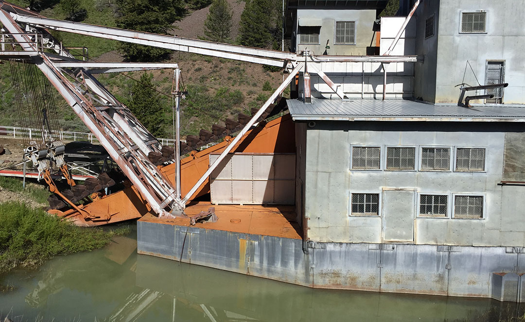
View from the north.

Control room of the dredge on the 4th floor

One of two huge Ingersoll-Rand 7-cylinder diesel engines that powered the dredge

We stuck pretty close to the Salmon all day long

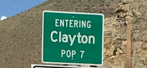
Welcome to Clayton, Idaho. With a thriving population of…

Seven!
Intersection of Highways 75 and 93, where we headed north toward Challis & Salmon

Challis “Classy Chassis” car show

Northbound Highway 93

Getting closer to our nightly stop in Missoula

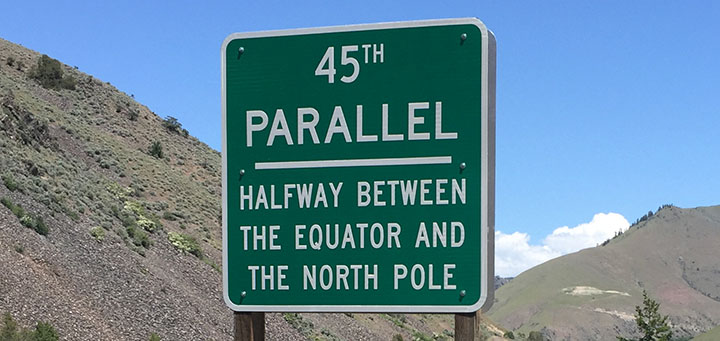
45th Parallel!
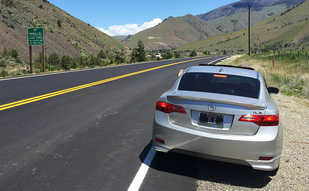
Close-up of the sign. This location on Highway 93 is halfway between the Equator and the North Pole.
Arrival in Salmon, Idaho
Owl Club has a big owl on front – and if you zoom in, you can see that people have shot arrows at it!

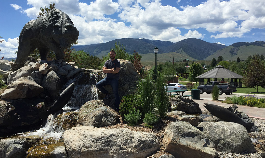
Bear statue & fountain in Salmon, Idaho
Shortly after crossing into Montana on Highway 93

Wandering around the shops in Darby, Montana

Candy store in Darby

Restaurant in Hamilton, Montana

It’s light so late!
Arrival in Missoula. Our hotel was near the University of Montana campus.

Dinner spot at Tamarack Brewing.
Did you know there was such a thing as a Ford Tempo All-Wheel-Drive?

Evening view overlooking the Clark Fork River
Evening sunset from our hotel

Come back for the final chapter of our trip next time!

June 12, 2015 at 8:01 pm
Glad you could experience the nice views in Idaho! Hard to believe the ILX is already at 130k miles! Pretty soon it’ll be at 148k miles just like my 03 Camry.
June 13, 2015 at 8:01 am
Haha yes I’ll be passing you up pretty soon I guess. We sure did enjoy Idaho – it was beautiful up there! Hope you are having a great weekend.