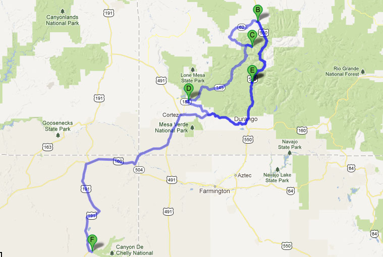
Million Dollar Highway Day 2: Durango to Chinle
Daily Distance: 443 Miles
Welcome back! This is Part 2 of 3 in my write-up about this past weekend’s Memorial Day trip to Colorado in the ILX. Part 1 is here.
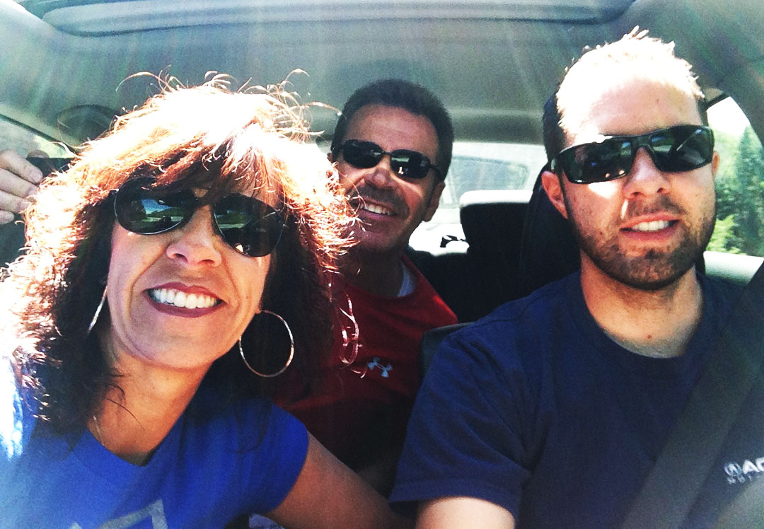
Sunday morning, I woke up to crisp temperatures in the mid 30’s Fahrenheit and bright blue skies in Durango, Colorado. It was a perfect day to enjoy the great outdoors on some of the most famous “driving roads” in the country with my mom and my step-dad.
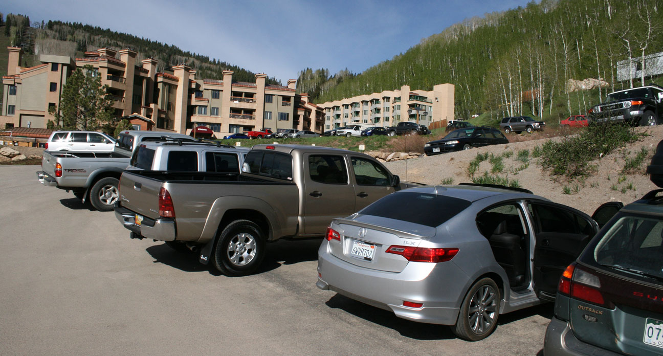
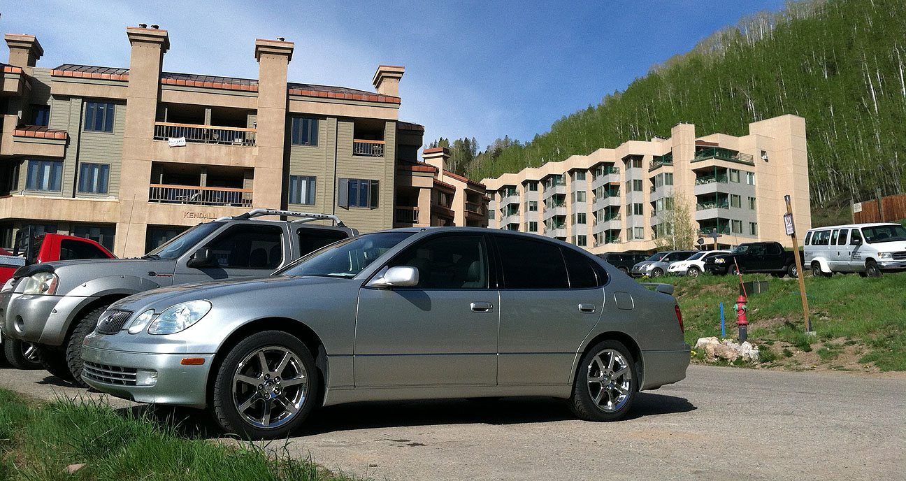
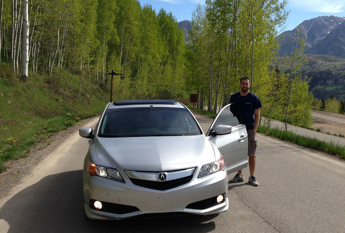
We left behind my mom’s 2003 Lexus GS430 in favor of my 2013 Acura ILX.
Fueled up and ready to rock & roll, we headed northbound on U.S. Highway 550.
I took the opportunity just a few miles up the road to attach my GoPro Hero3 video camera to the roof of the car. You’ll see the video footage from this at a later date – I’m thrilled with how it turned out.

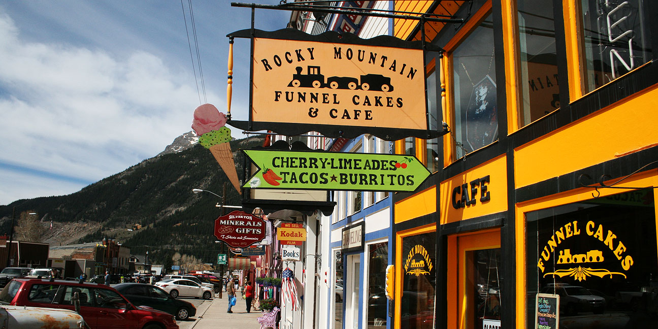
Our first stop was just about 20 miles up the road. Silverton is a beautiful community at a striking 9,300 foot elevation. I could really start to feel the effect of the thin air as I powered my way up the mountains to get there. Winters are so harsh here that many of the business are only open for 6 months of the year: from the first part of May until the end of October.
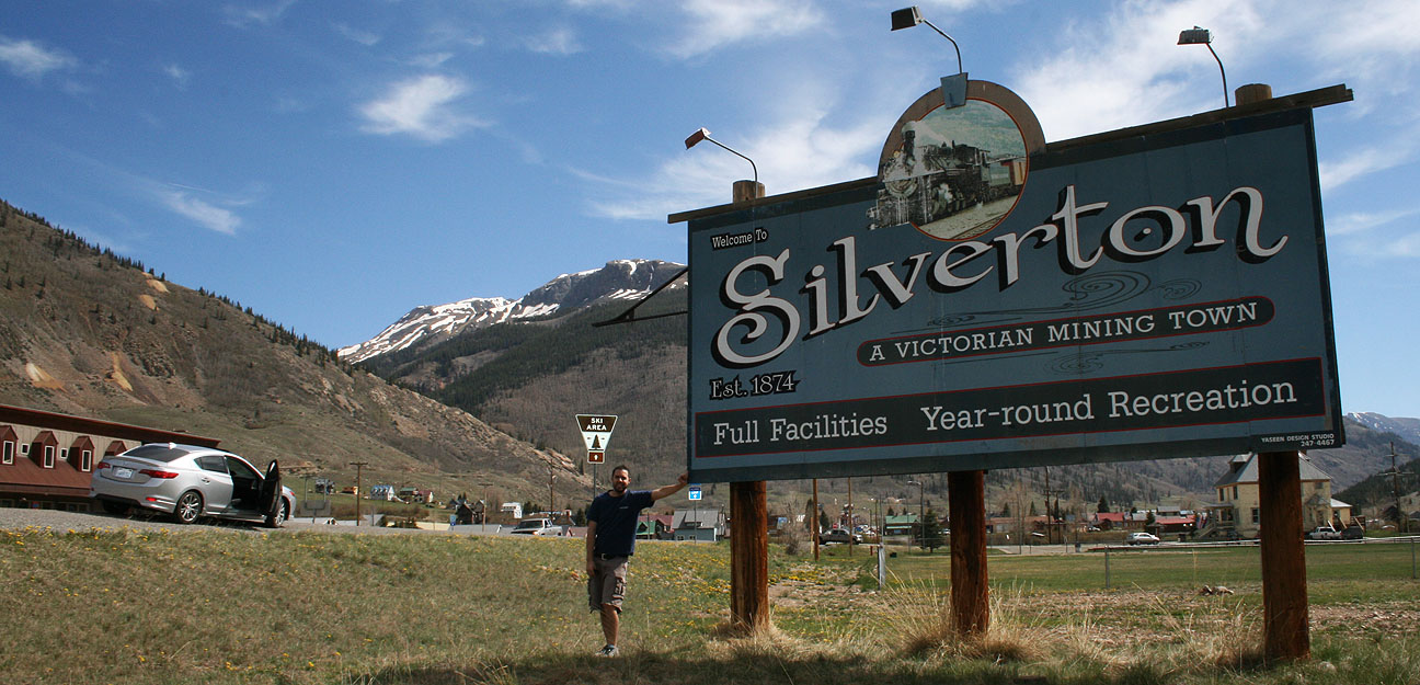
Total land area of the town itself is only .8 square miles.

A Jeep excursion company offers summertime recreation to visitors who come to this area.

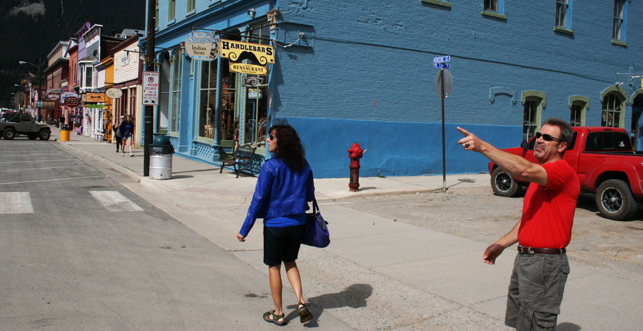
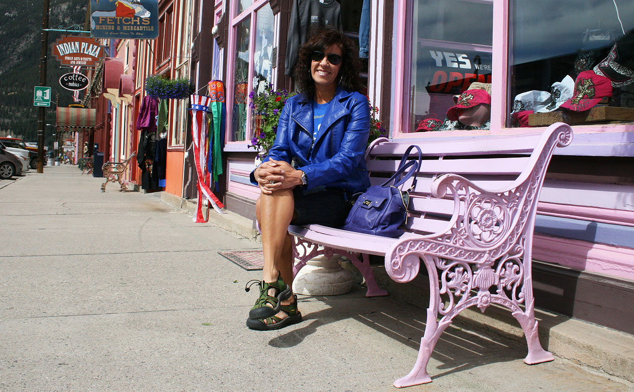
We parked the ILX and took some time to walk around and enjoy the cool weather and unique shopping opportunities.
There are about 600 brave residents who call this place home year-round.
A trip to Silverton wouldn’t be complete without a little bit of shopping for silver. We stepped into this store to have a look at the selection. The sign on the black door of the safe behind the employee in this picture says: “Yes, this was a bank from 1882 to 1939. No, it was never robbed.”

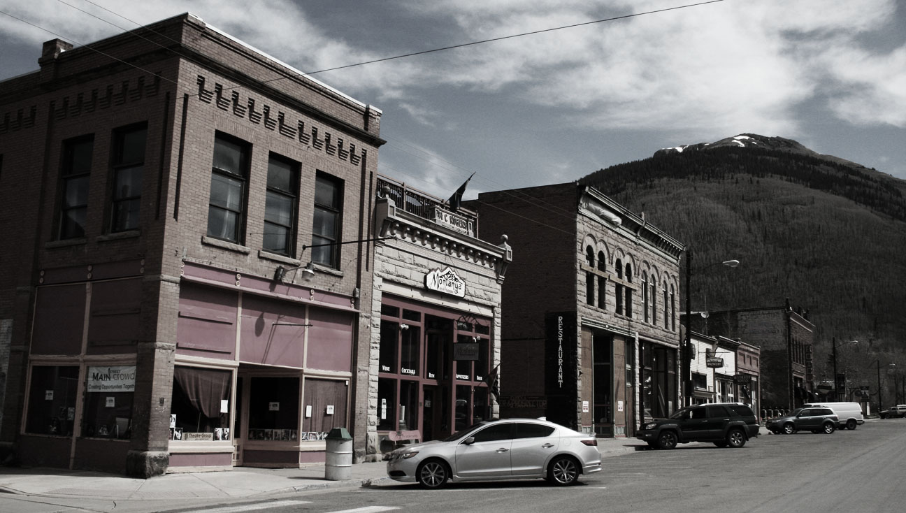
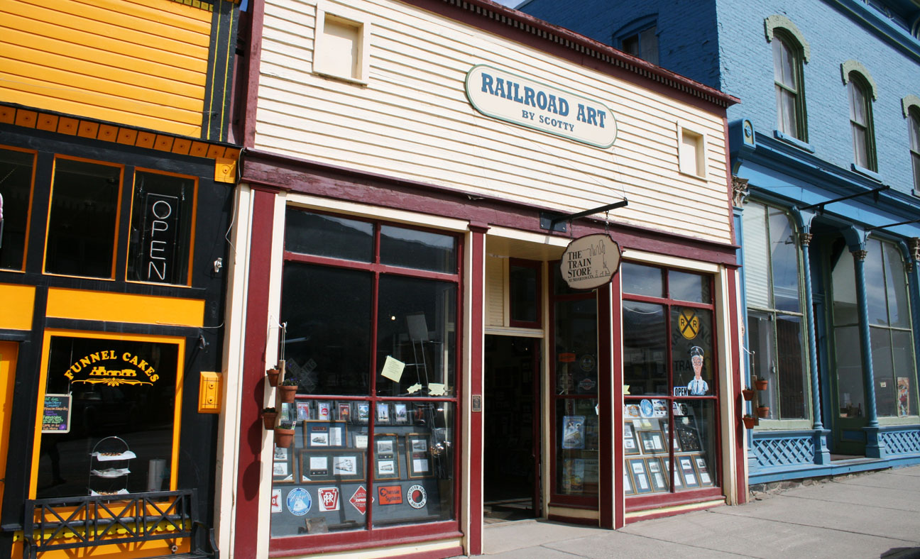
Colorfully-painted buildings line the main road, called Greene Street.
The below “Railroad Art” store is for sale for $85,000 if any of my readers are entrepreneurs who’d like to invest! Silverton is one of the hubs to the Durango-Silverton Narrow Gauge Railroad so the railroad industry is one of the most important sources of income for this small community.
Don’t get too comfortable on that park bench, mom; we’ve got places to go!
Your eyes don’t deceive you; that’s a 4×4, lifted red Checker taxi cab parked outside Ortega’s Old Town Indian Store.

Let’s get this show on the road, I say!

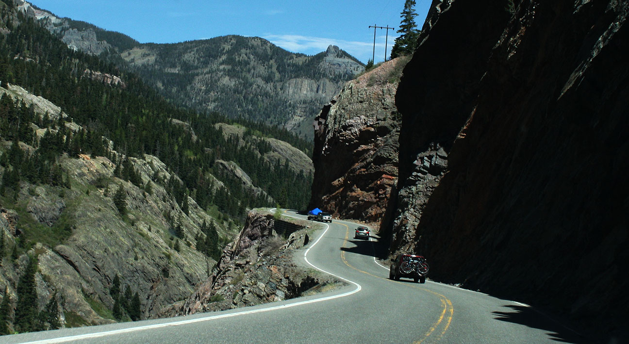
The Million Dollar Highway officially starts in Silverton and goes 25 miles north to Ouray. It’s part of the San Juan Skyway Scenic Byway. From Wiki:
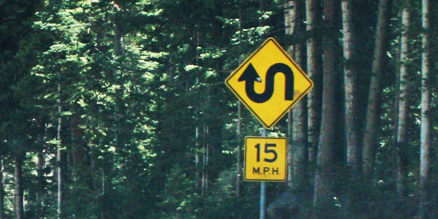
Though the entire stretch has been called the Million Dollar Highway, it is really the twelve miles (19 km) south of Ouray through the Uncompahgre Gorge to the summit of Red Mountain Pass which gains the highway its name. This stretch through the gorge is challenging and potentially hazardous to drive; it is characterized by steep cliffs, narrow lanes, and a lack of guardrails; the ascent of Red Mountain Pass is marked with a number of hairpin curves used to gain elevation, and again, narrow lanes for traffic—many cut directly into the sides of mountains.
My eyes were open wide for the amazing scenery that we’d soon be experiencing.

The twisties were endless. I’m afraid to think of what the road conditions would be like in any kind of inclement weather. The sport-tuned suspension on the Acura ILX made light work of the hairpins.

And we all enjoyed the Colorado sunshine streaming through the moonroof.
The Million Dollar Highway as we see it today was completed in 1924, but it dates back to 1883 when it was constructed as a toll road. The origin of the road’s name is not known for sure, though two one idea is that it cost $1 million per mile in the early 1920’s to build the road, and another idea is that the fill dirt that was used during construction contains $1 million in gold ore.
Hang on!
At one area on the road, a concrete “overpass” of sorts has been built to keep avalanches from wiping out the highway. We drove underneath it and continued on our way.

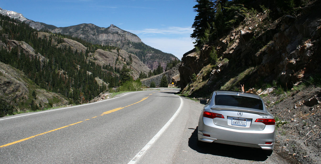
Here’s where the road really started to show its character.

This is an honest-to-goodness white knuckler. No guard rail, narrow lanes, and a steep drop-off on one side.
In one of the rare places where there was a shoulder wide enough to pull off the road, I shot a picture of the car.
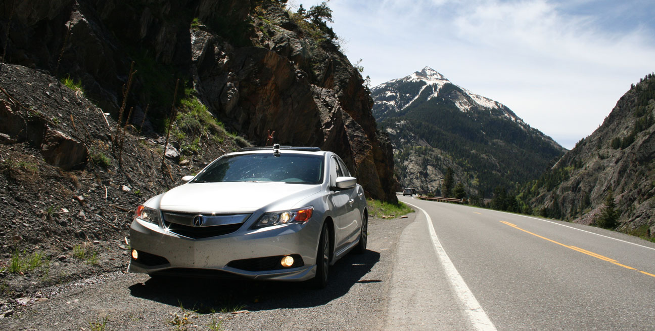
Look for mom’s “peace sign” hand gesture out the moonroof.
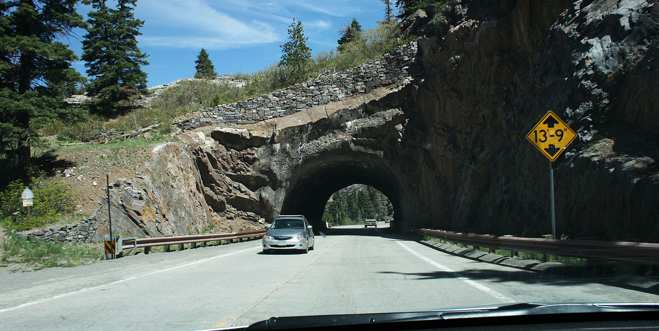
The only tunnel along the MDH is this short one.
Another small mining town awaited us a few miles north. Here we’re entering Ouray, Colorado: Elevation 7,706 feet.
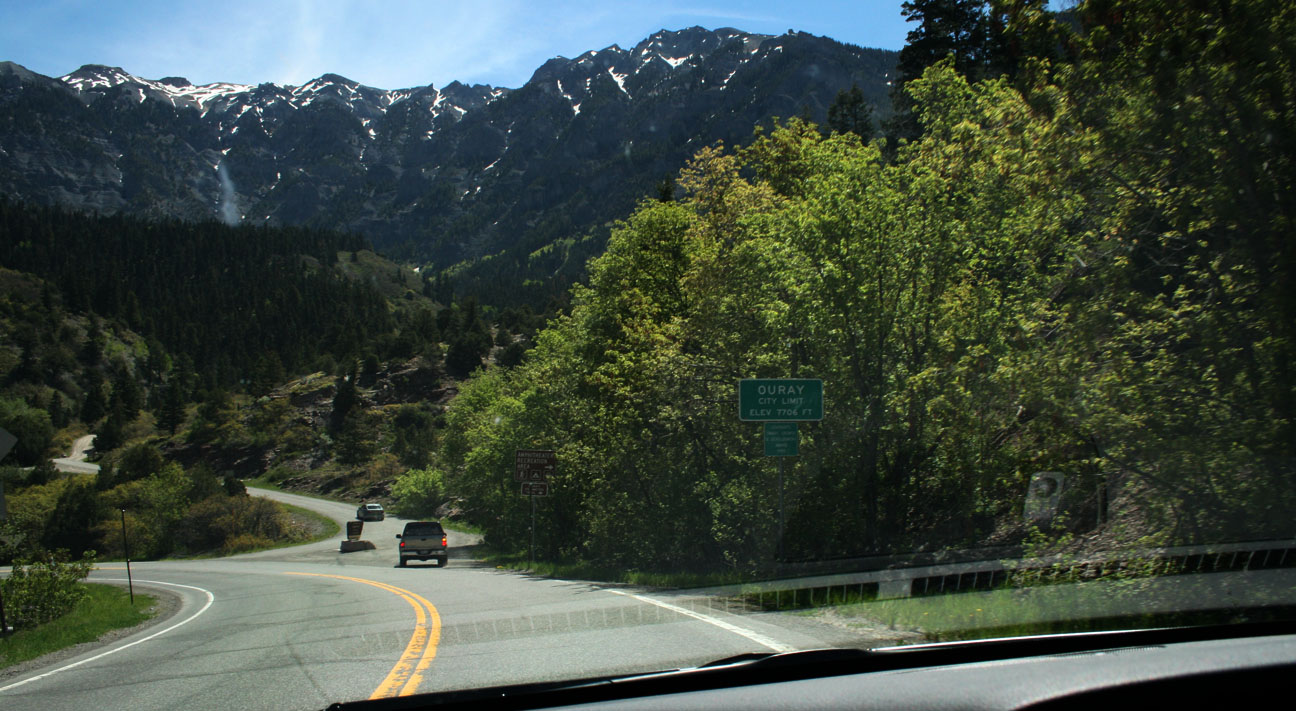
I love the architecture of these old towns. It feels like taking a step back in time to pass through them. Prospectors first arrived here in 1875. The town was named after a chief of the Ute Indian tribe that was native to the area.
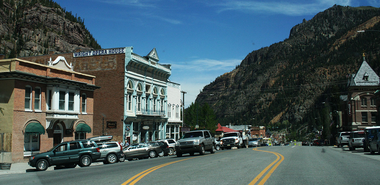
This type of scenery is unlike anything else in the country. Ouray’s economy is based on tourism as the town is referred to as the “Switzerland of America.” It’s boxed in on 3.5 sides by steep mountains. I also learned that this place is the winter ice-climbing capital of the United States.

Candid shot by mom. Get that camera out of my face!

Panoramic vistas surrounded us as we made our way westbound on Highway 62 in Ridgway, Colorado.
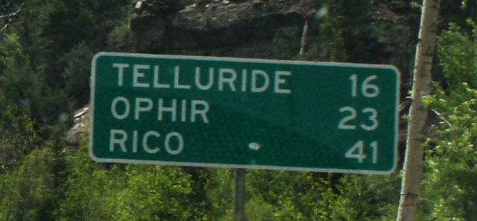
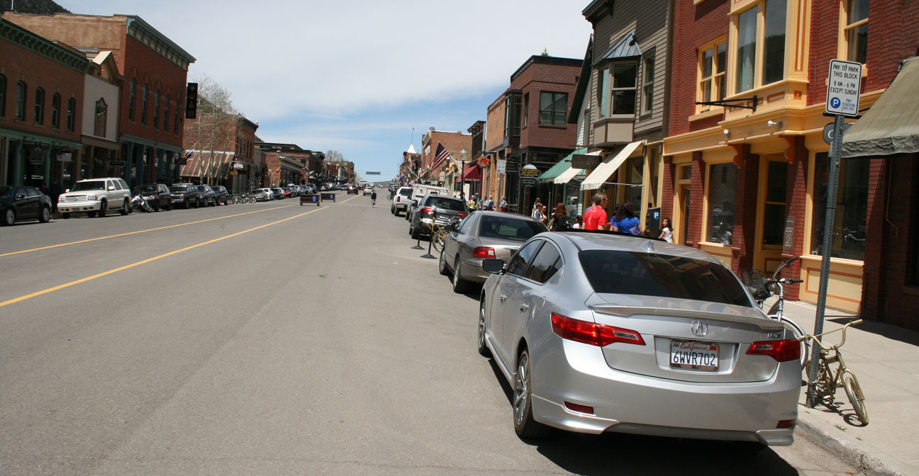
23 miles later, we hooked up with Highway 145 and headed toward our next stop: Telluride.
Found it!

Telluride, like many of the other small towns in southwestern Colorado, got its start as a mining boom town. Today it’s a recreation hub for skiers, hikers, and ATVers year-round. It’s home to just over 2,500 people. The first ski lift wasn’t installed until 1972.
Traffic was tough to come by along the main road (Colorado Avenue) but we snagged a space and walked around.

In the background of the below picture, a waterfall is clearly visible that cascades from the mountaintop to the valley below.

The layout here looks a lot like Silverton and Ouray, but Telluride boasts a festival of some sort almost every single weekend of the summer. While we were there, the “Mountainfilm” festival was going on.
Check out those gnarly mountain bike tires!

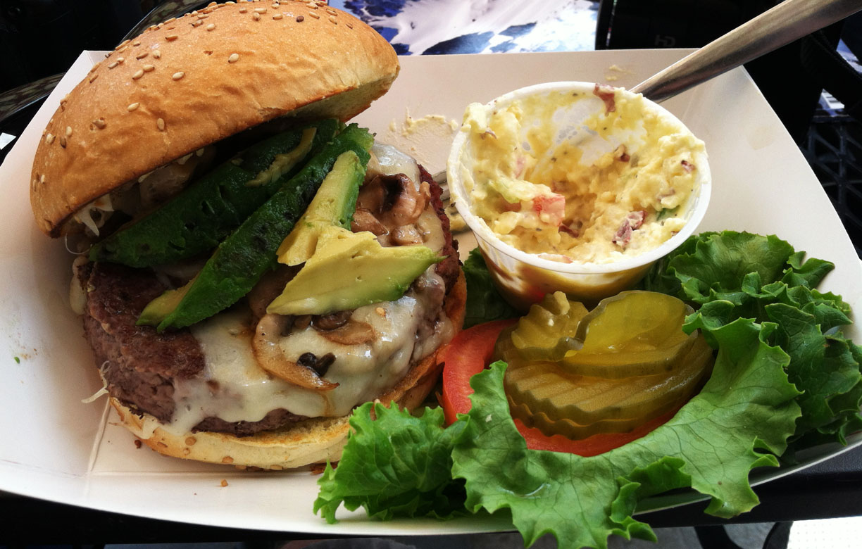
Lunch was at a place called Maggie’s. The mushroom & Swiss burger hit the spot!
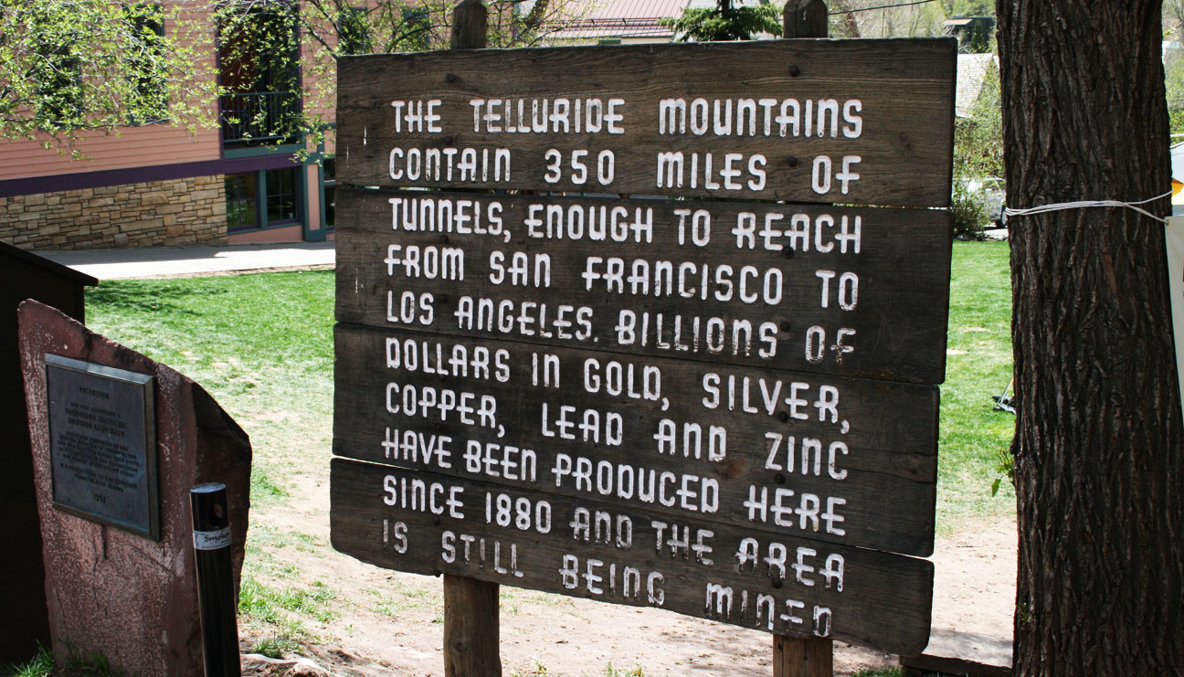
A sign along Colorado Avenue tells us that the tunnels in the mountains surrounding Telluride would reach from San Francisco to Los Angeles.
One of the main reasons I’d wanted to see Telluride this trip was to check out a place called Bridal Veil Falls. I learned that a trailhead started at the east end of town, so we headed there on Colorado Avenue. The pavement ended and we continued a bit further. Soon, though, it became clear that this road would require a high-clearance vehicle, so I parked the car and we hiked.

Spy shot by mom. Sneaky, sneaky.

Here’s a glimpse at the ILX parking space; the waterfall can also be seen the very far top left edge of the picture.

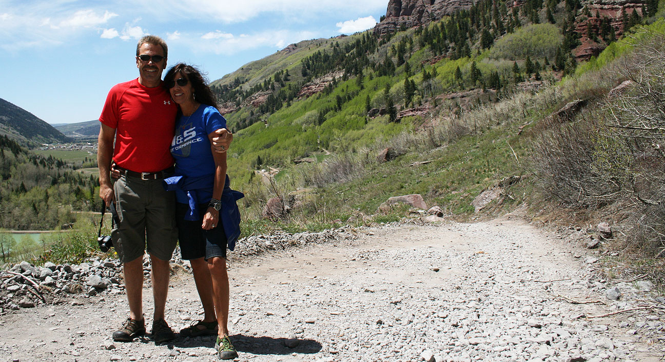
Quick photo-ops for Todd & Tia.
And one for Tyson.

Just a little ways up the road, a stream crosses the roadway. I was tempted to dip my feet in but I held back!

Bridal Veil Falls are the tallest free-falling falls in Colorado. They reach over 360 feet in height. A power plant and a private home sit at the top of the falls. The power plant was built in 1907 to supply power to a local mine, but it only operated until 1953. The view must be incredible from up there!
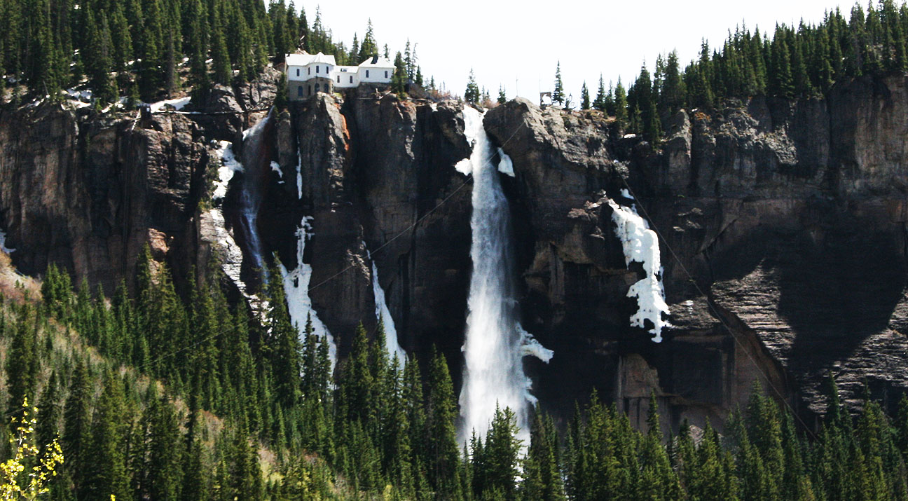
Even from our vantage point probably a mile away, we could still hear the gushing water as the sound echoed off the canyon walls. We didn’t end up hiking the rest of the steep trail but continued back to the car.

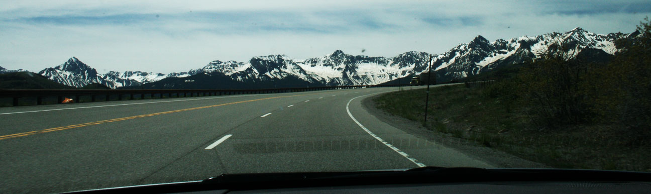
The rest of our return trip to Durango on Highway 145 took us to summits of over 10,000 feet in elevation.

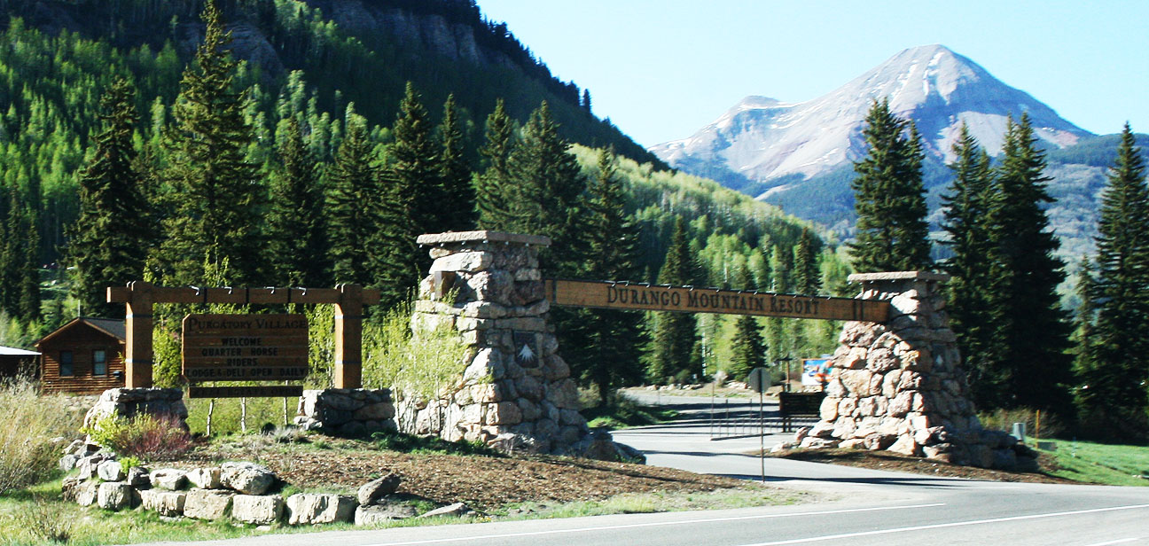
Back at the Durango Mountain Resort, I dropped off my mom and Todd. I had a bit further to travel to my nightly destination.
Back down the canyon I went.

Back through Durango, Cortez, and descending to the desert, I once again abandoned the green forest and became familiar with the barren landscape of the desert.

At 331.8 miles driven since the start of the day, I noticed that somehow I’d achieved a miraculous 40 miles per gallon. That’s even better than the ILX hybrid is supposed to get! It helps that most of the day’s travels were at conservative 35-60 mph in 5th & 6th gear. But still, I was very impressed!

At the intersection of Highway 160 and Highway 504, I stayed on Highway 160 and headed toward Kayenta.
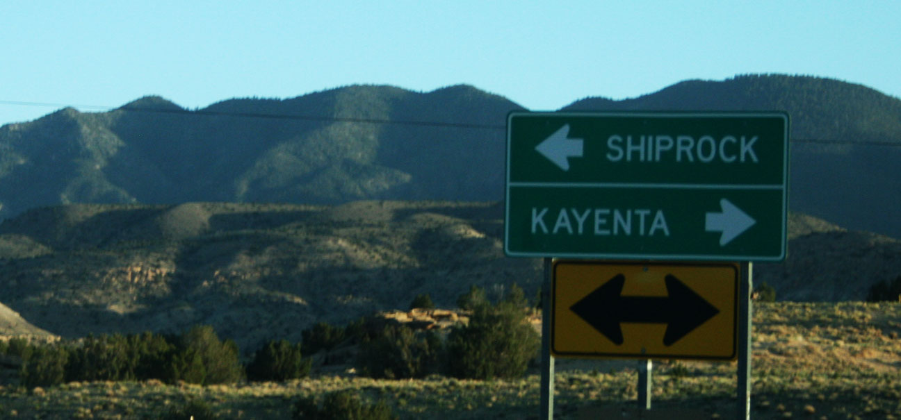
And as dusk descended, I took Highway 191 south.

This time of day is my absolute favorite time to drive in the desert because of the way the sunset ignites the red sandstone colors.

I pulled over for just a few pictures before I ran out of daylight.


And about 60 miles later, I’d arrived at my hotel in Chinle, Arizona on the Navajo reservation.
Tune in next time for the last day of travels for this Memorial Day escapade!

May 28, 2013 at 5:55 pm
Totally informative and entertaining! “It’s the next best thing to being there.” Oh yeah — I WAS there. And I am SO grateful for the opportunity to ride along on your Drive to Five (and beyond). Maybe I should plan further vacations around your road-adventure schedule. Look out Washington, here we come!!
May 29, 2013 at 6:59 am
That’d be great. You’ll show up on the blog plenty of times yet this summer. Remember, we’re just two weeks away from Buckskin Gulch! Adventures await. Thanks for coming along on this weekend’s drive. I wish I could’ve brought some of that fresh Colorado mountain air home with me.
May 28, 2013 at 8:50 pm
.8 miles for the town? Wild. (and small) I’m going to go out on a limb and say the waterfall if you were to dip your feet in, would have been pretty darned *COLD*
May 29, 2013 at 7:00 am
Yeah, teeny little town! That waterfall was without a doubt extremely cold. When we took a break for lunch in Telluride, I actually was glad I’d brought along a hooded sweatshirt because the breeze was chilly. It seems unheard of (to me) to wear anything except shorts and a T-shirt in late May.
May 29, 2013 at 3:41 pm
Wow. Colorado is beautiful. I love that San Juan Skyway. I must go there one day. Those mountains towering above you in several of the pics are massive. I am like a kid at the candy store when I see mountains since i live in flat terrain Florida.
And I love waterfalls. That Bridal Veil Falls is just stunning. I think you picked the perfect time to see that waterfall too. I would think the water volume has to be much higher now in late May with all the ice melting than if you would go after July.
May 29, 2013 at 5:57 pm
Carlos, I’m glad you enjoyed the pics, since this is the trip that you recommended just a few days before I headed out. I loved every mile. It is truly awesome to be surrounded by 13,000+ foot mountain peaks. Some of them have snow on the top that probably never melts. You’re definitely right about the higher water level this time of year due to snow run-off. I was also amazed at how little traffic we saw for being a holiday weekend.
May 30, 2013 at 5:00 am
Just Amazing. We are going exactly here in a few days. In Cortez Colorado. Only worrying thing, is that we have to travel on highway 491- AKA highway 666-AKA DEVIL’S highway…
May 30, 2013 at 6:28 am
You’re in for a real treat! Hwy 491 is incredibly scenic. I wouldn’t worry too much about its history as the “Devil’s Highway.” Hope you enjoy your travels – please drop a line afterward and let me know how things go. Glad you enjoyed the pics and hopefully it gave you a few ideas of things to see while you’re in the area.
May 30, 2013 at 8:59 pm
Looks like an awesome place and the pictures of the highway make me drool! Love your Mom’s GS too. I saw one on eBay not too long ago with 420,000 miles and still going strong. I’ve heard of Bridal Falls but never seen them. Now I really want to!
May 31, 2013 at 6:39 am
The GS430 is a really smooth ride. Nothing quite like the power of a V8 when you really get on the throttle. It does surprisingly well on gas, too. She’s somewhere around 118,000 miles on it and it still runs great. And yes, those waterfalls are definitely worth checking out! If I go back, I’ll either take a 4×4 so I can drive to the top, or allow a little extra time so I can hike there. The view must be amazing from the drop-off.
June 2, 2013 at 6:47 am
The GS has 110,000 on it now….. and adding up quickly! I am looking forward to 111,111.
June 2, 2013 at 7:08 am
Can’t wait for the pic! When I hit 111,111.1, I was doing 111 miles per hour. Kind of crazy, but I did it. This was nearly 10 years ago in October 2003. https://drivetofive.wordpress.com/2011/09/20/odometer-photo-phrenzy/