Drive to the Wild West: Tombstone and Fairbank, Arizona in the ILX
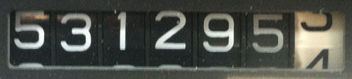
Odometer (Legend): 531,295
Odometer (ILX): 90,167

Trip Distance: 372 Miles

When my friend Chris from Maryland was planning his visit to Arizona, he said, “I want to see a saloon. Take me to an Old West town.” I knew exactly which destination would fulfill those wishes: Tombstone.

Just a day after arriving from our trip to Los Angeles for the National Acura Legend Meet, Chris and I again hit the highway in search of a new adventure. And this time, we traveled back in time 135 years to a town that they say is “Too Tough to Die.” It’s a town of legends (get it?) and history that fills volumes.

Compare to the May 2011 picture, when I took the Legend there.

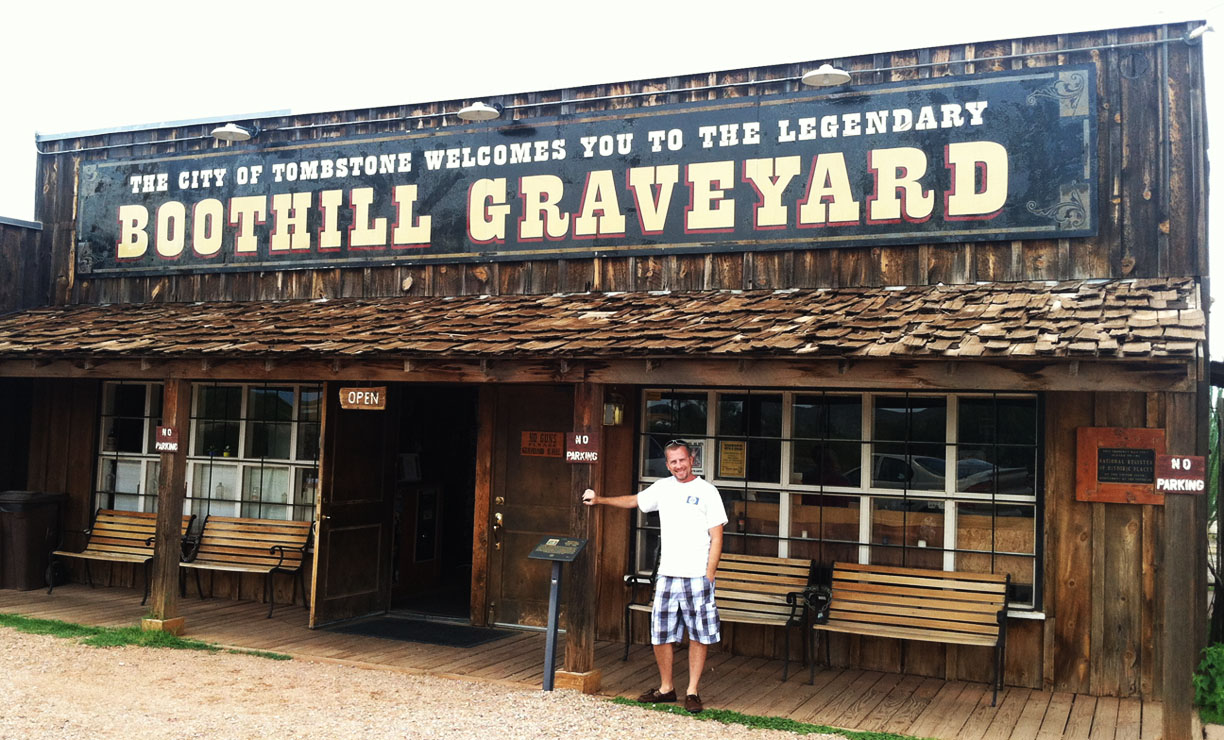
Our first stop was the Boothill Graveyard. We took a self-guided tour and noticed that most of the headstones were marked “UNKNOWN.” The ones that did have names on them were mostly dated from the late 1800’s. Here’s one example of an inscription we found on a headstone:
Here Lies George Johnson, 1882
He Was Right, We Was Wrong
But We Strung Him Up, and Now He’s Gone

We parked the ILX and proceeded to walk around in the muggy afternoon weather. Tombstone’s history dates back to 1879 when it became a boomtown thanks to the nearby silver mine. During those years, a guide educated us, the town’s population soared to around 10,000 residents, which was even greater than the population of Los Angeles at the time. A series of destructive fires in 1882 wiped out over 100 businesses. Additional fires in the mines themselves, depletion of ore, and the falling price of silver led to the decline of Tombstone. Today, it’s home to only about 1,300 people and the town survives primarily on the tourism industry.

On October 26, 1881, a historical gunfight took place in an empty lot behind the O.K. Corral. Lawman Doc Holliday and 3 other officers fought it out against 4 cowboys who were suspected of murder. Thirty shots were fired, resulting in injury or death for everyone involved except for Wyatt Earp. Earp lived on until 1929 when he died at the age of 80. Chris and I watched a gunfight reenactment and got our photo afterward with some of the actors.

The main road through town, Allen Street, is closed to car traffic. However, carriage rides are available and the town is very pedestrian-friendly. Chris and I went to the Crystal Palace Saloon for lunch. The “shroom and Swiss” hamburger was phenomenal, but my favorite item on the menu was the fried ice cream for dessert.

This courthouse cost $45,000 to build in 1882 and still stands today with a visitor center in the lobby.

Heading north from Tombstone, I decided to change up the trip a little bit and do a little ghost towning. My friend Leif had once told me about a townsite called Fairbank off Highway 82 in southern Arizona, and I happened to notice how close we were to it thanks to my Garmin Nuvi GPS unit as we were departing from Tombstone.
Just before a border patrol checkpoint, Chris and I veered west into the San Pedro Valley and about 8 miles later we arrived at what was once a bustling railroad town in the late 1800’s. In 1890 and 1894 the area flooded. An earthquake in 1897 altered the course of the San Pedro River, knocked railroad tracks out of place, and devastated some of the structures in the town. It’s almost as if Fairbank was destined to be a ghost town from the very beginning. Fairbank has been abandoned since the 1970’s and today amounts to just a few decrepit structures and a 1920 schoolhouse that was restored in 2007.

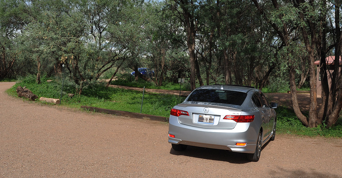
Heading on in via a very short, perhaps 1/4 mile, one-lane dirt road.

Parked at the gate to the townsite.
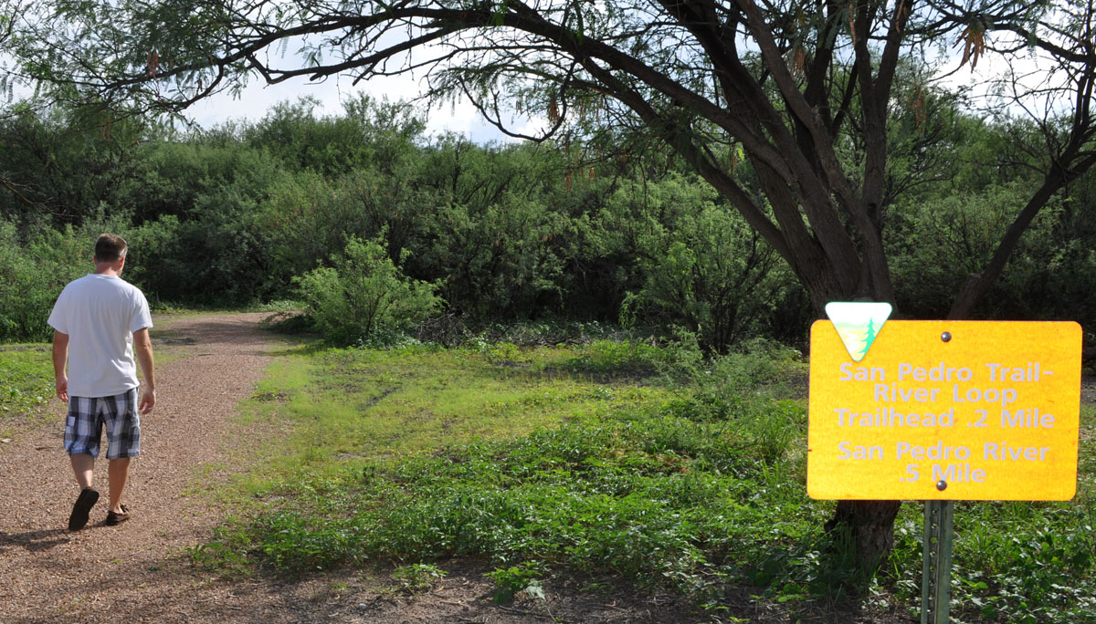
Chris heads on in.
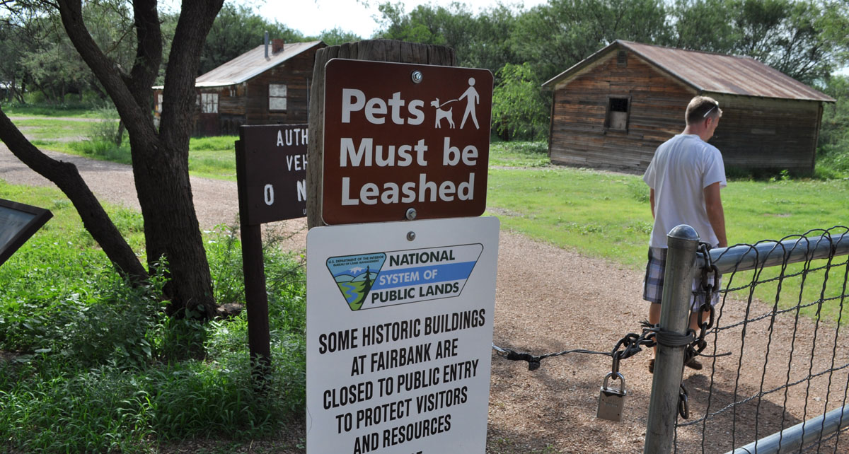
This building was once a post office and mercantile.

The signs posted on these buildings say that they are condemned due to being unsafe.

We didn’t take the time to hike all 1/2 mile to the San Pedro riverbed, but I enjoyed the green vegetation and it was a nice change of scenery from the rest of the surrounding desert.
Continuing on Highway 82, I had my first experience with geocaching when Chris and I started heading north on Highway 90. Geocaching is defined as a recreational activity in which participants use a global positioning system (GPS) to hide and seek containers (“caches”). Chris downloaded a geocache app to his iPhone and started guiding me on where to make some turns so that we could find it. I took this picture of the ILX just before Chris (in the background) hit the jackpot.
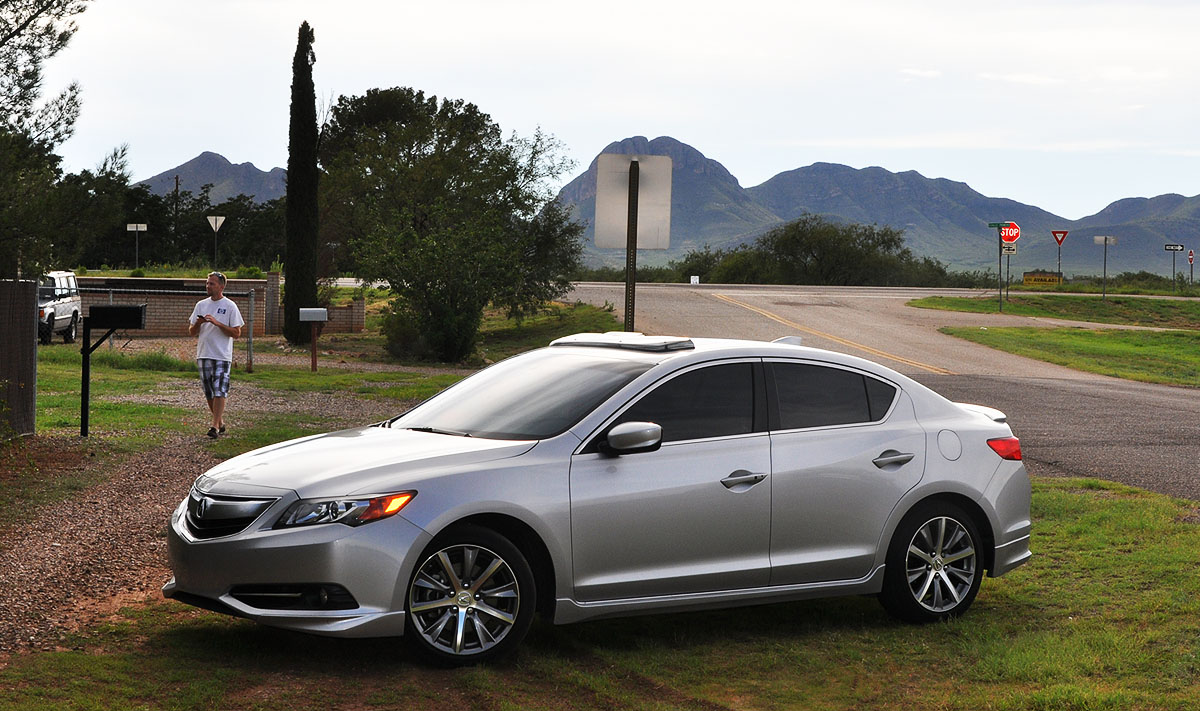
Hidden within the chain link fence’s post in this residential neighborhood was a small container attached to the lid. Once we unscrewed the lid, we found inside a small plastic bag with a folded piece of paper and a pencil where we would fill in the date and our names. It’s like a treasure hunt! I had a blast.

Nice view of Newman Peak just east of I-10 near Picacho on the way back to the Phoenix area.
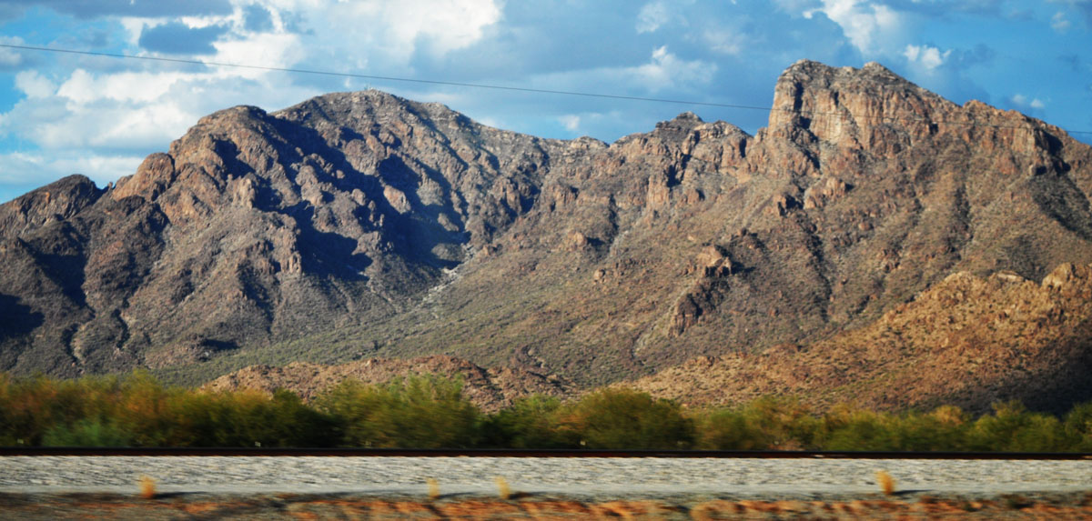
We turned over 90,000 miles right around there!

Thanks for joining on the trip!
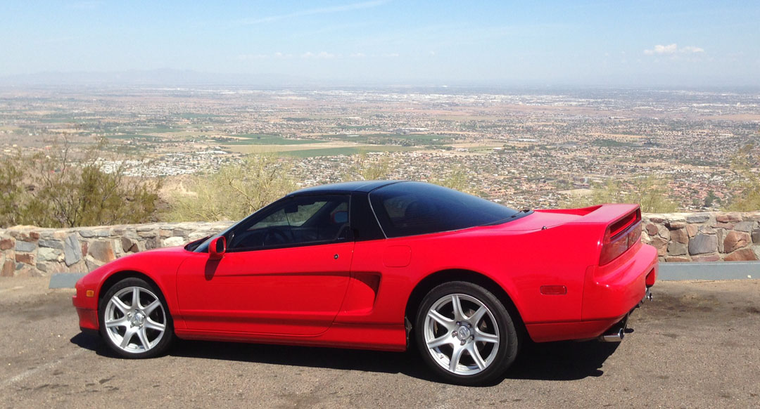
Just a couple more parting shots today – first, Chris had free reign of the NSX on Tuesday while I was at work, and he found a great road called South Mountain where he took this picture overlooking the Phoenix downtown area.
Later that day, he drove himself to the airport in the Legend coupe. Having owned a 400,000 mile 3rd generation Prelude Si, he has an appreciation for cars with higher mileage.
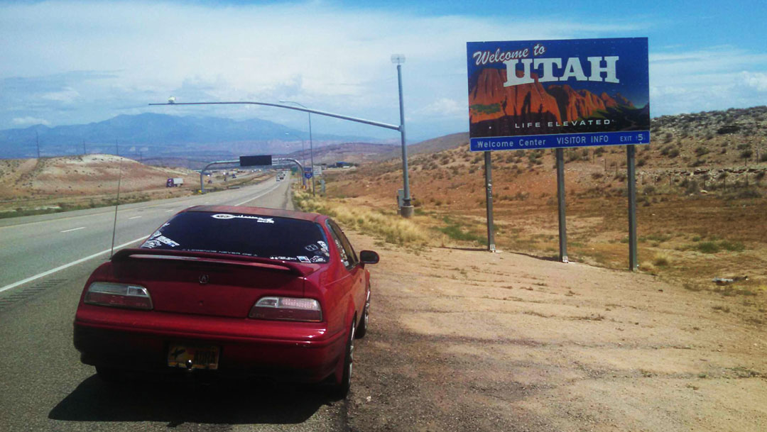
And finally, a well deserved shout-out to my friend Alex. Despite the fact that his Acura Legend did not even have an engine or transmission installed in it just a couple of weeks ago, he got his car together in time to drive it all the way across the country: from Warm Mineral Springs, Florida, to Los Angeles, California, for this year’s NALM. Not only that, but he’s now on his return trip (5,000 miles into it, currently in Chicago) and a couple of days ago passed through my hometown in southern Utah and sent me this photo at the state line. Keep on trucking, Alex!

July 31, 2014 at 9:31 am
Thanks for the mention Tyson!! I’ve tried to do this whole trip in your spirit, its not easy following “The Road Trip” King’s foot steps but I’ve been taking notes, and loving the scenery 😀 I put together this quick map of all the states i’ve been in so far.
interesting note but so far *knock on wood* my only issues have been the Ignition switch failure first day of NALM (that’s like a tradition, i gotta have car trouble first day), My AC had all leaked out by the time I was leaving CALI (valve was leaking, $60 later its fixed) and my Tape adapter locked up and actually damaged the tape deck 😦 Not Bad ALL THINGS CONSIDERED!
She’s on a well deserved rest in my parents garage

July 31, 2014 at 9:41 am
Wow, look at that map!! You are crossing off the states like crazy. Man I’m so jealous. That sucks about the tape adapter messing up the deck, hopefully you can get some tunes for the rest of your trip. The final stretch to FL is going to be a piece of cake compared to all the travels you have already done. Good luck and keep the pics coming.
August 8, 2014 at 8:42 pm
Oh wow! Catching up quickly with that mileage. We’re currently in St. Louis Missouri, going to the gateway arch tomorrow, then immediately after the arch, it’s onto Springfield, IL for a few hours, and from there, back home. I believe tomorrow, the Accord will hit 95,000 miles. The starting mileage of this road trip was 92,915
August 9, 2014 at 11:52 am
It sounds like you’re having a great trip! If you get the chance, send some pictures to my email. I’ve never actually stopped at the St. Louis arch but I’ve driven past it a number of times. Onward to 95,000 miles and beyond in the Accord.