Archive for the Hikes Category

Hiking Shaw Butte to Abandoned “Cloud 9” Restaurant in Phoenix

Posted in Hikes, Legend on May 18, 2015 by tysonhugie

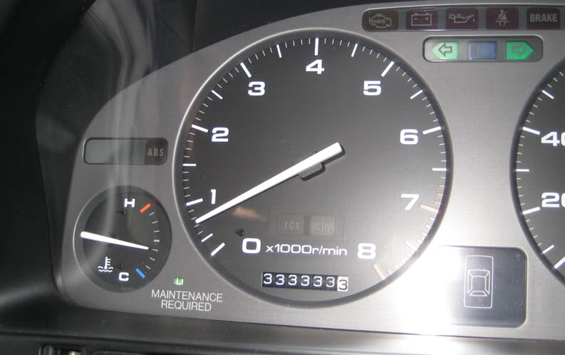
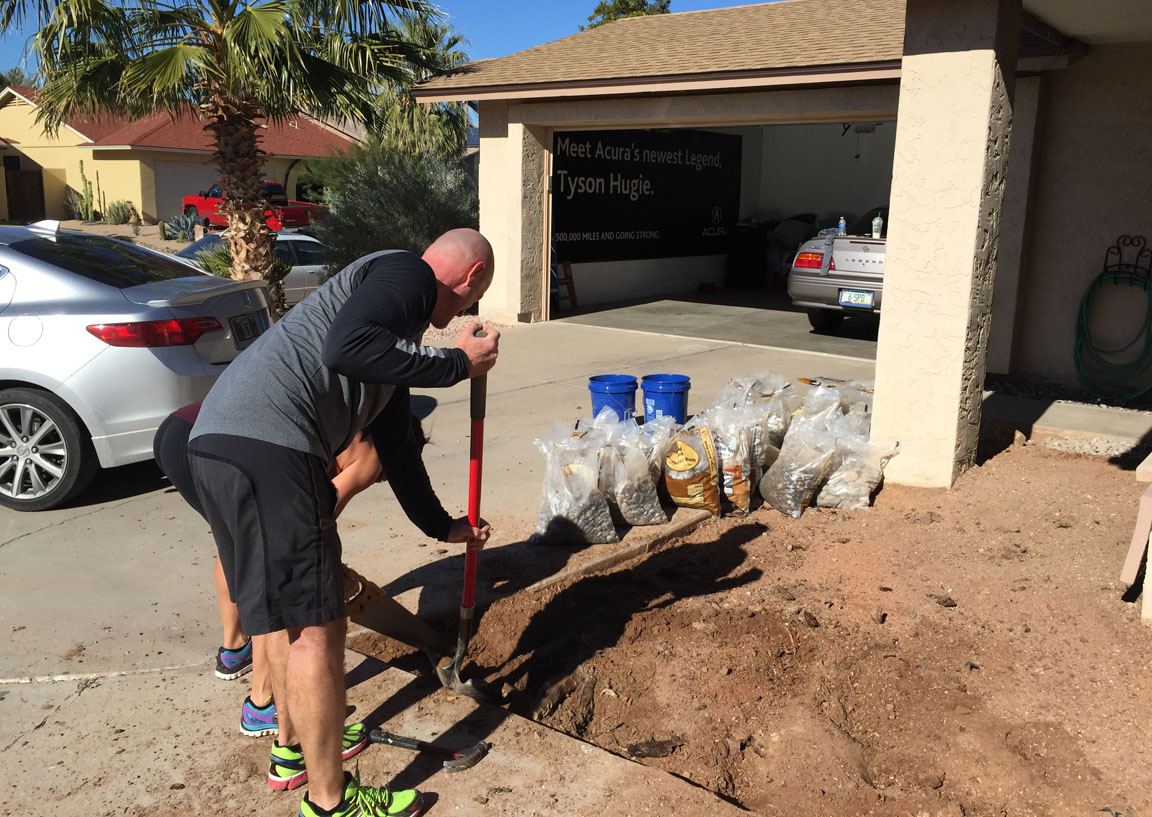
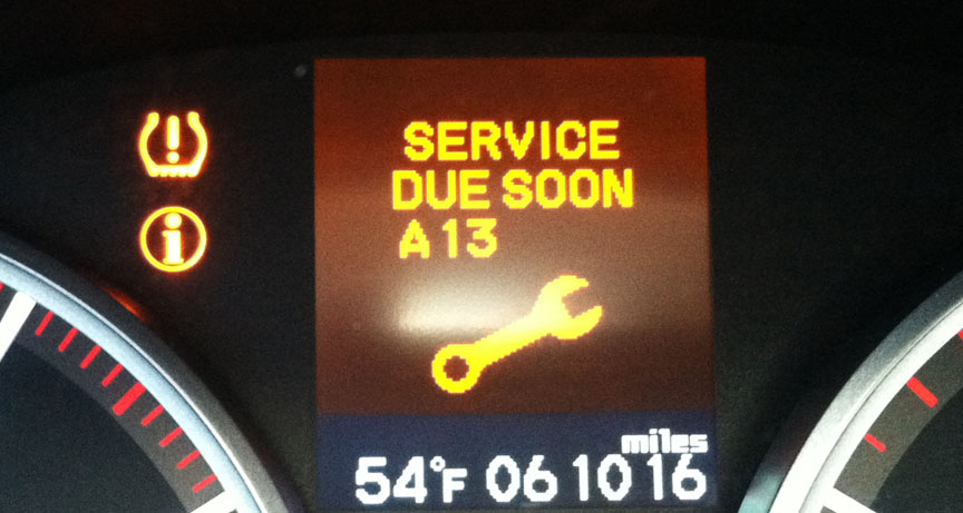
Odometer (Legend):  533,559

533559

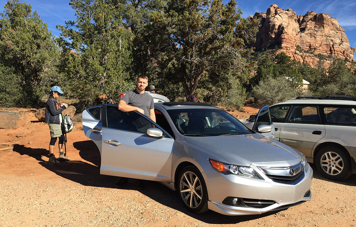
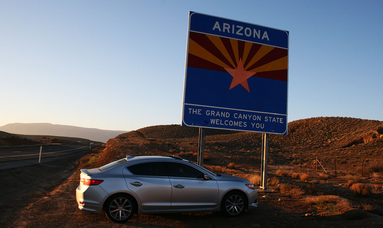
Odometer (ILX):  125,623

125623

Remember that classic 1985 movie, Goonies?  It’s one of my all-time faves.  I can’t believe it’s 30 years old.

goonies_cover

So, there’s a scene in the movie where some kids go hiking around in an abandoned restaurant in search of buried treasure after finding a map in someone’s attic.  Sounds like my kind of adventure, and that’s why I love the movie.

goonies_restaurant

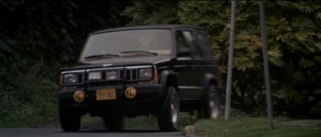
Oh, and I also loved it because of some sweet off-racing scenes with a Jeep Cherokee 4×4.

goonies_jeep

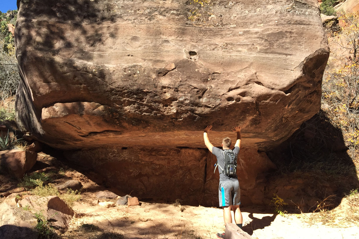
I get a kick out of “urban exploration.”  One of my most memorable road trips ever was when I hiked around the ghost town of Modena, Utah.  I’ll never forget the feeling of uneasiness as I climbed rickety wooden staircases and wondered if they’d crumble under my weight.  The thrill of discovery, adventure — and sometimes, of getting caught in a place where you shouldn’t be — is fun for me.

MODENA

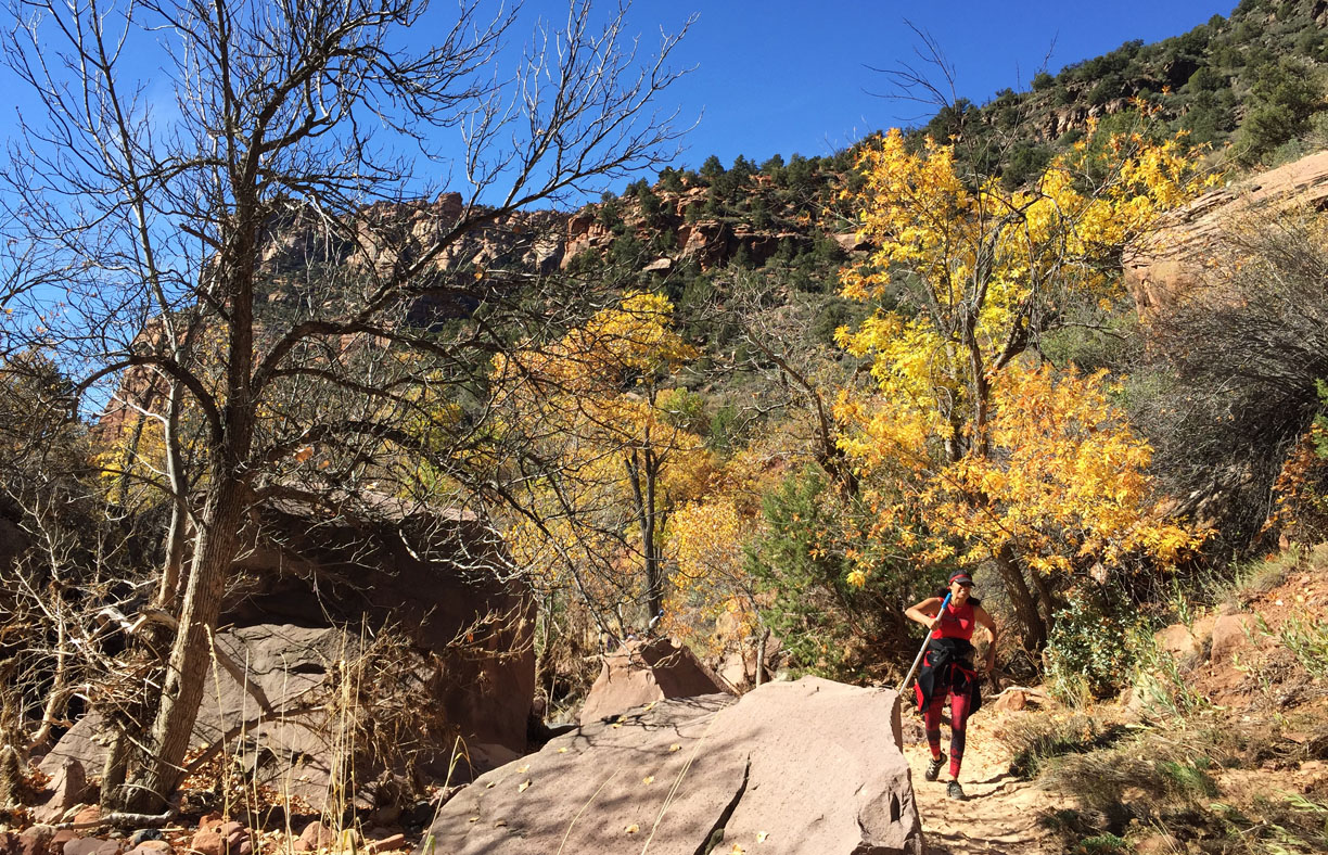
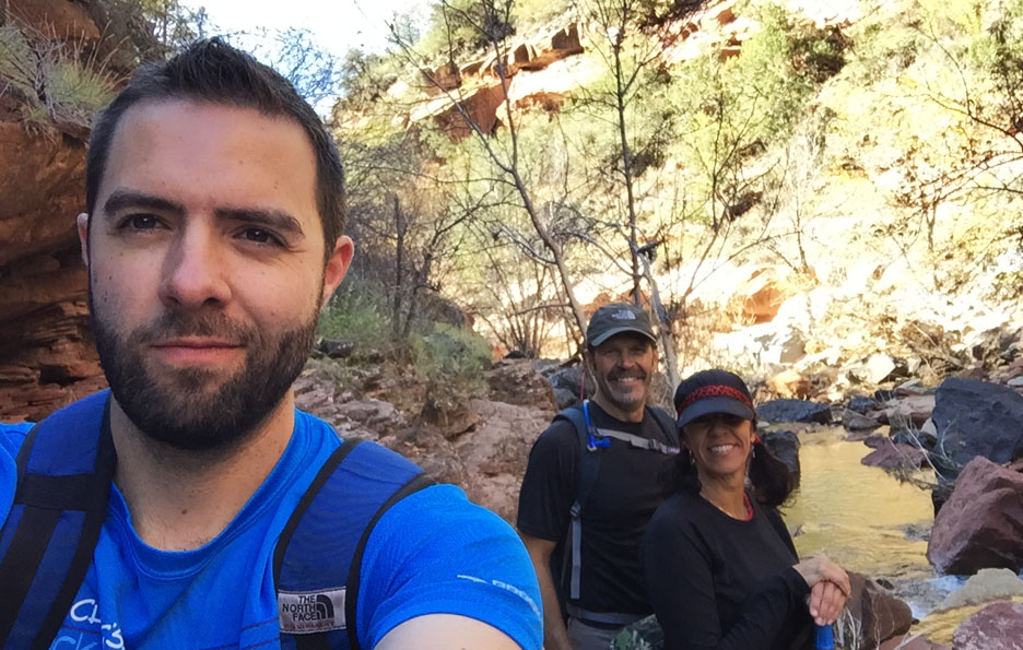
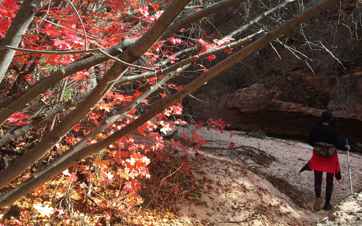
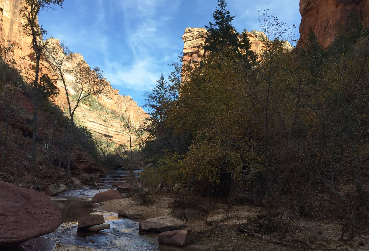
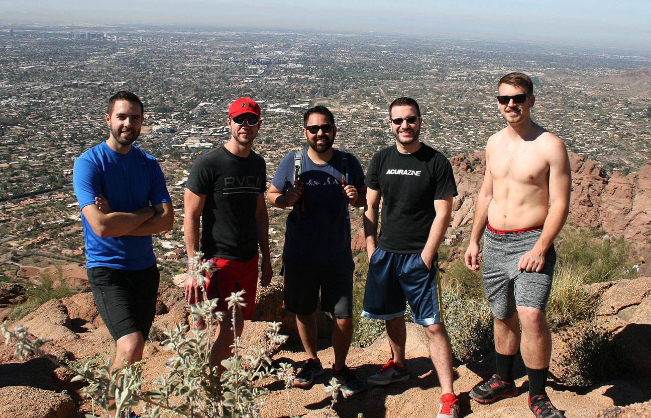
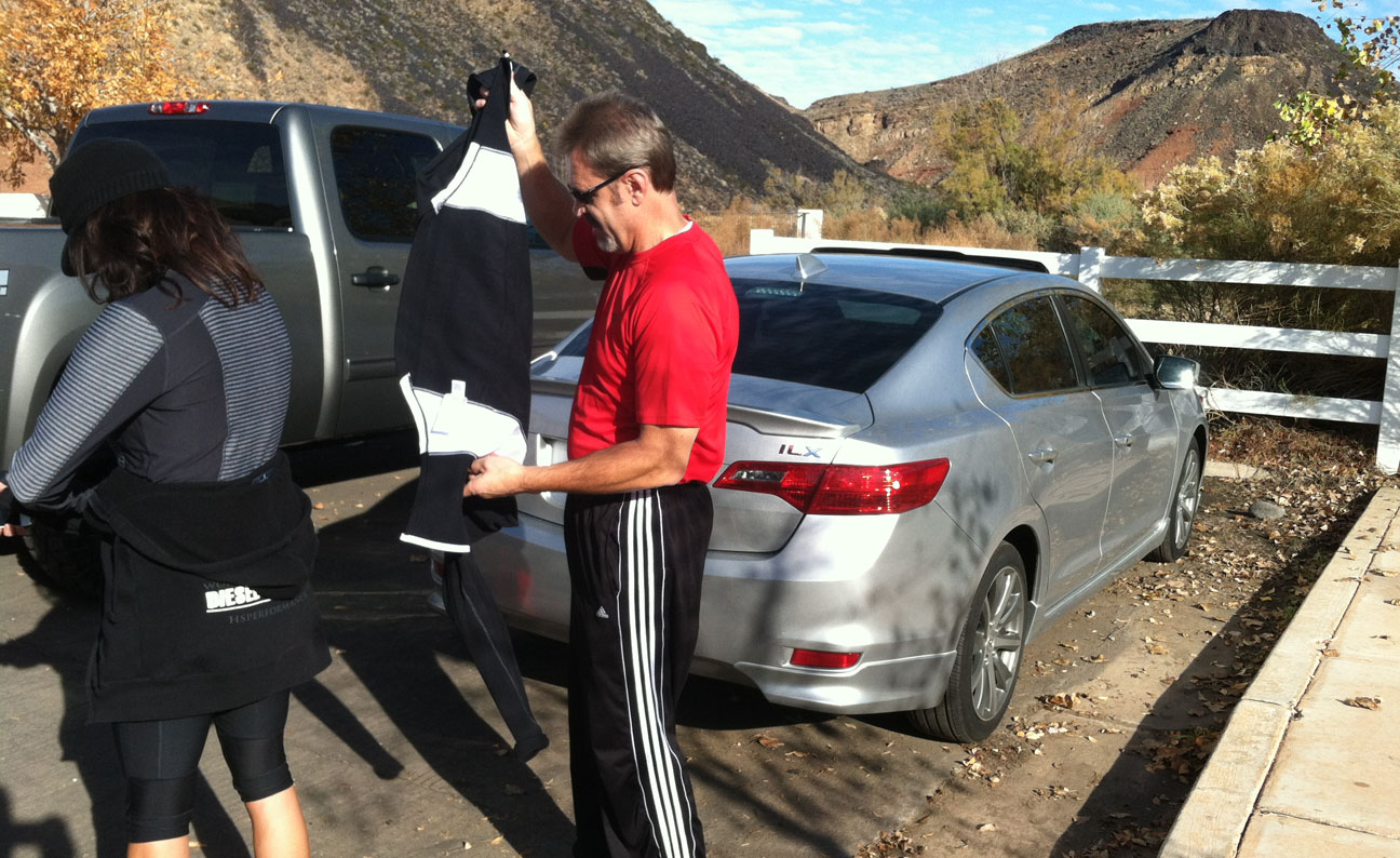
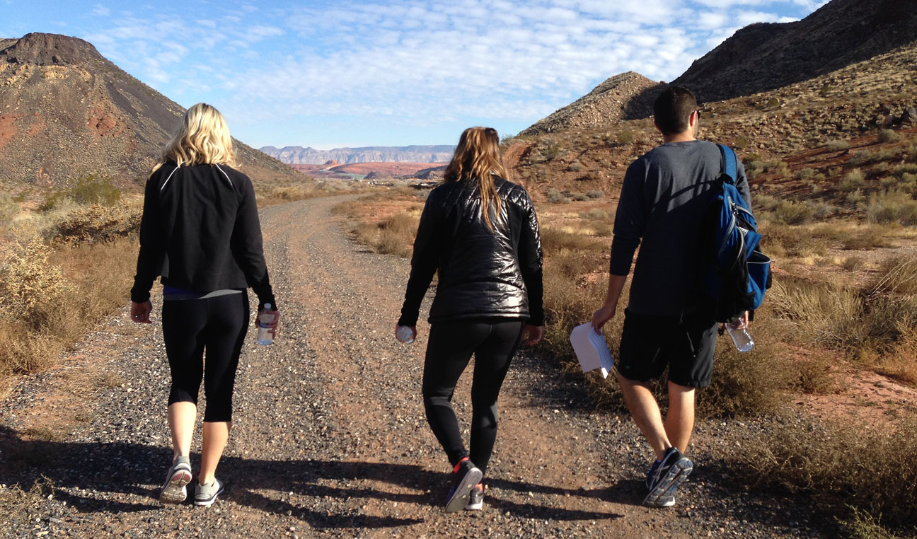
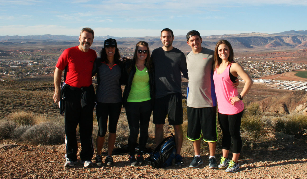
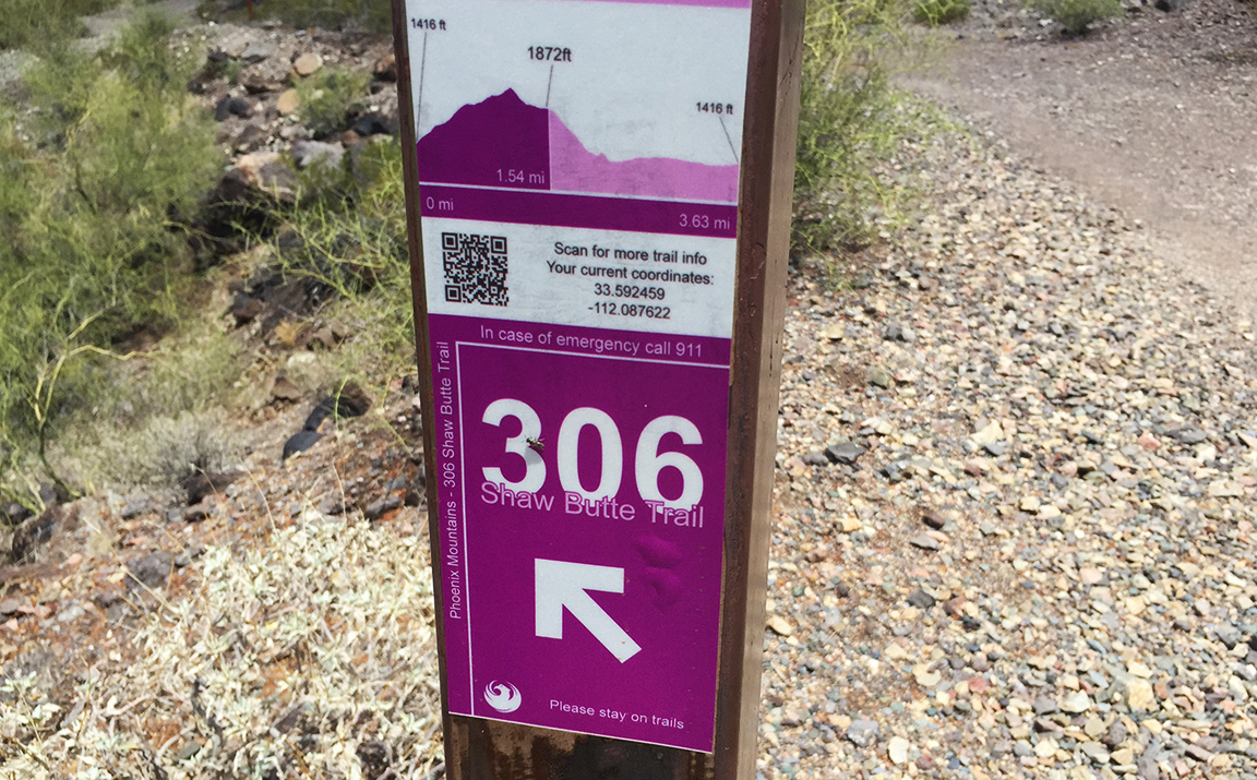
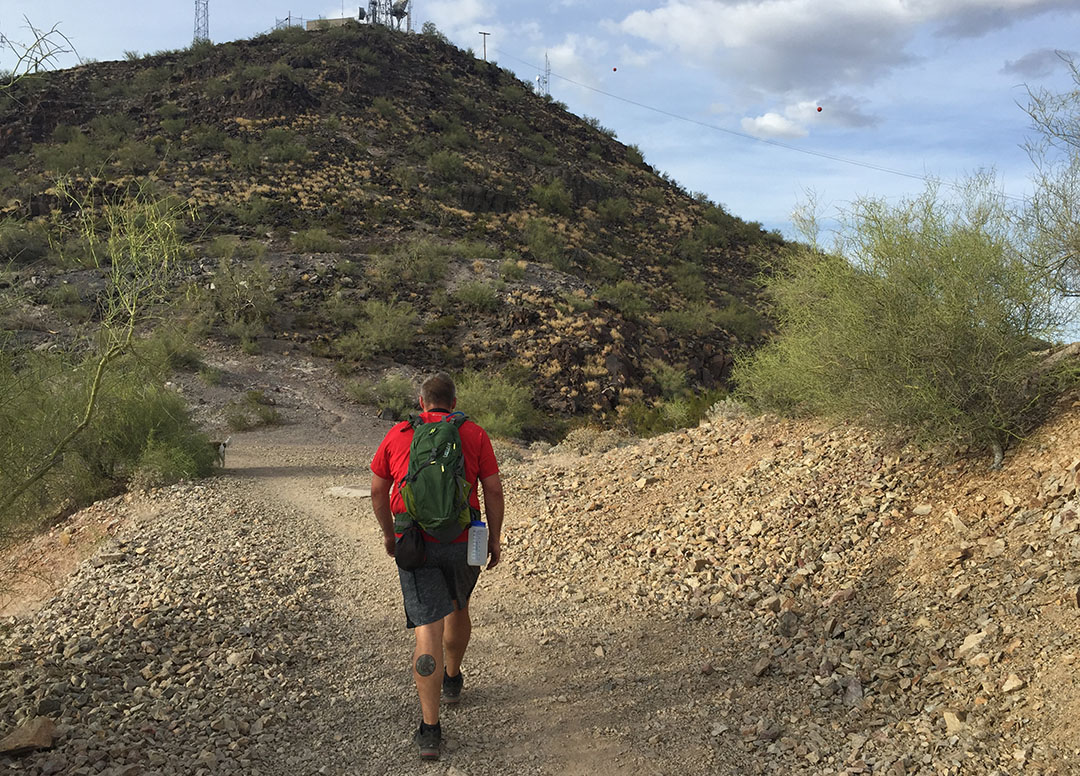
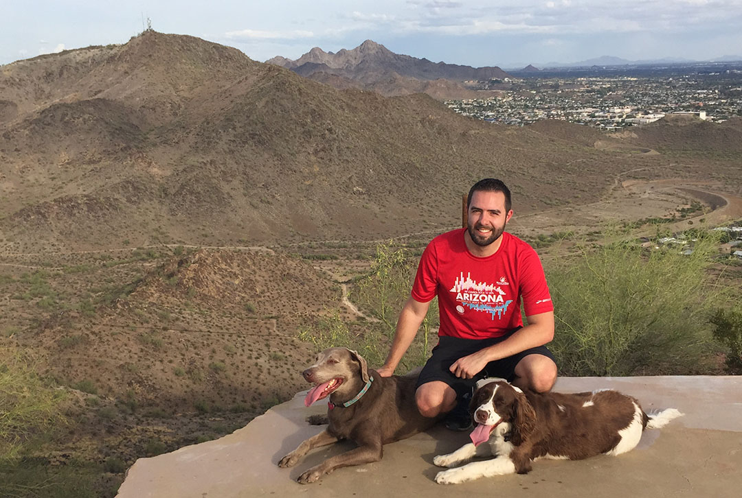
A few friends, family members and I (hi, mom!) are planning a 20+ mile Grand Canyon “rim to rim” hike a week from this Friday.  We’re insane, yes.  But, as part of the training for that, I’ve started seeking out local Phoenix-area hikes a couple of times a week in preparation.  My friends Rustin and Wade told me about a 3-miler with a nice 900-or-so foot elevation gain near 7th Avenue & Peoria in north-central Phoenix.  We met up at the trailhead last Wednesday after work and set out with Wade’s dogs, Abi & Jackson, leading the way.  The path was called Shaw Butte:  Trail #306 in the Phoenix Mountain Preserve.

trail_306_marker

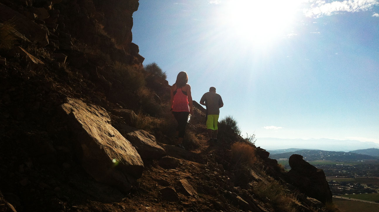
According to the “Health” app on my iPhone, we climbed the equivalent of 68 flights of stairs.  I was panting more than the dogs were by the time we reached the summit.  The hike was just what I needed to get my heart rate up, and the views were awesome.

flight

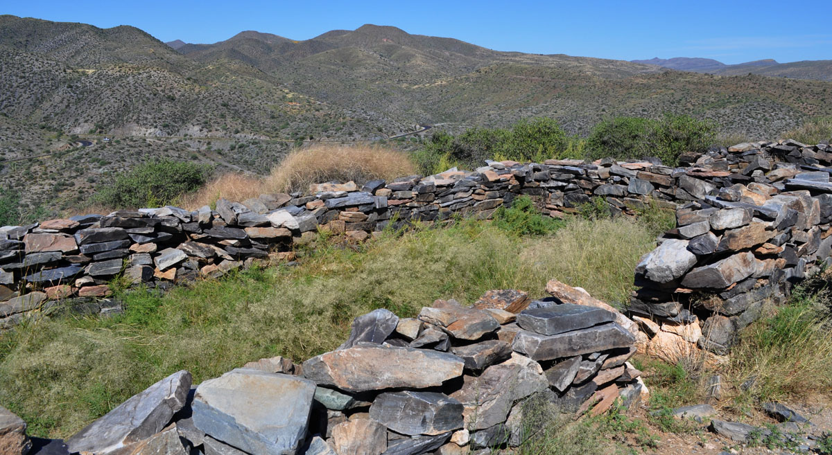
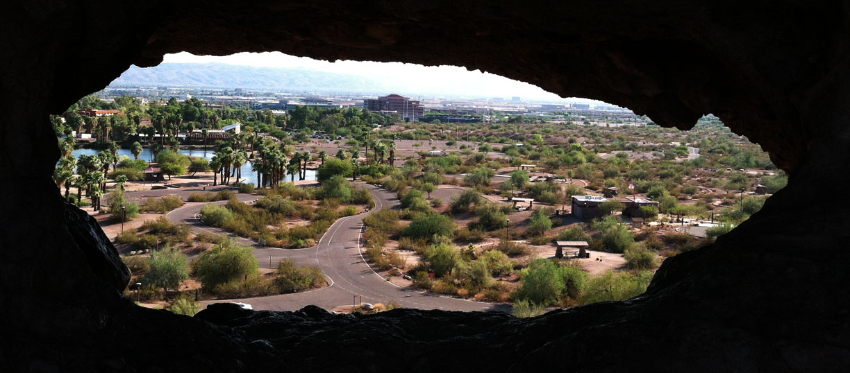
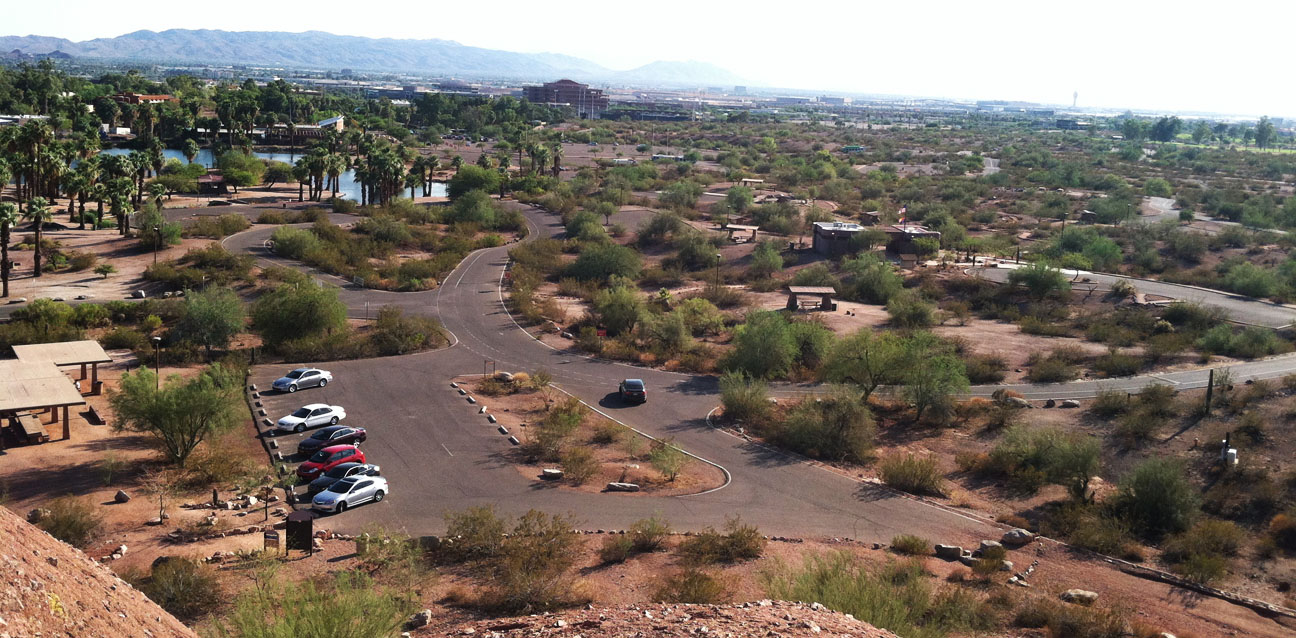
The icing on the cake, though, was getting to wander around the remains of an old restaurant that’s been gone for over 50 years now.  Cloud 9 opened in the early 1960s as a luxury restaurant for the Phoenix elite.  According to one video account, the facility was small and could only accommodate about 30-40 people.  In all my googling, I wasn’t able to find a picture of the building from when it was open for business.  On November 8, 1964, the building burned down.  There are suspicions that the demise of the building may have been related to gang or mob activity, but nobody really knows for sure.

Even when the restaurant was in operation, the road was too rough to be traversed by passenger cars so people were shuttled to the summit by four-wheel-drive vehicles.  Today, the location is part of the Phoenix Mountain Preserve System and it’s not likely it would ever be built up again as a commercial business.

cloud 9 sign

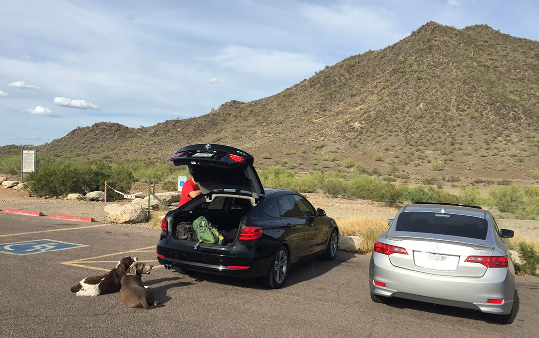
The round-trip hike took us about an hour and a half.  Here we are getting ready at the trailhead.

north_mountain_parking

Wade takes the lead

wade_hiking

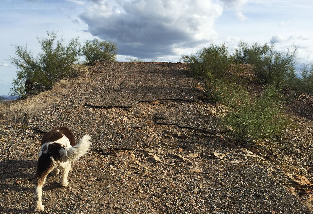
Now it’s Jackson’s turn.  This is the crumbly road that once led to the restaurant.

road_to_cloud9

Staircase and some old kitchen equipment

cloud9b

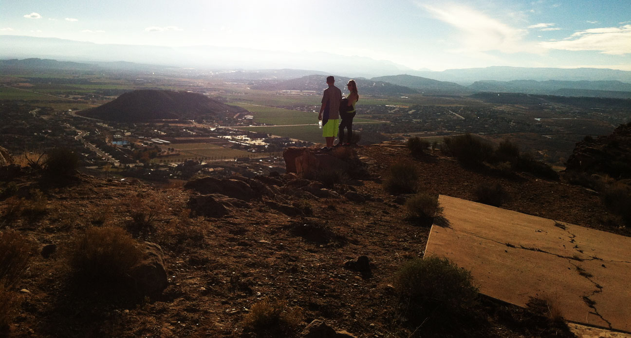
This concrete pad is where the tables once would have been.  There were glass windows along the edge.

cloud9a

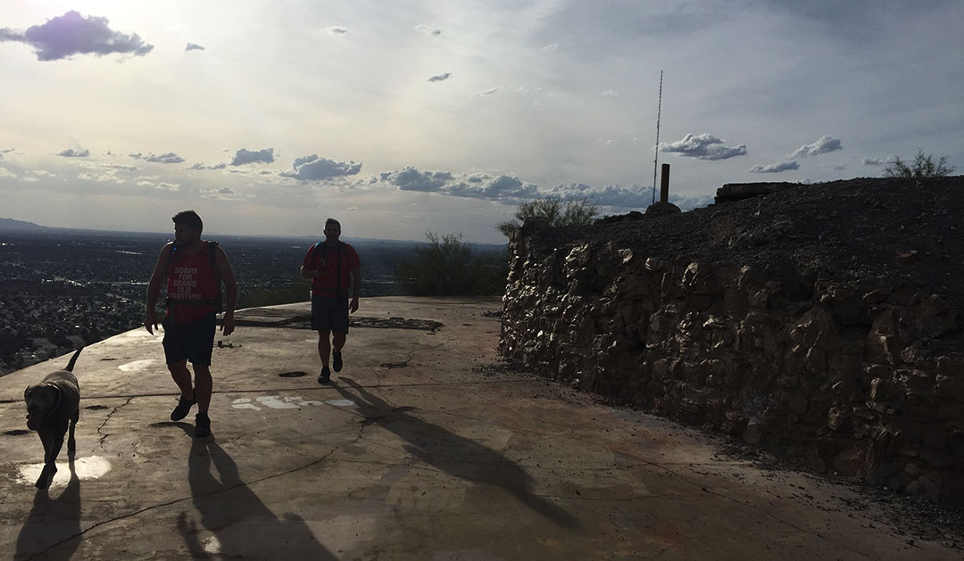
Abi, Rustin, and Wade as silhouettes on the Cloud 9 patio

cloud9

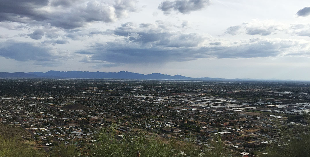
It would have been a great view from the restaurant – especially at night.

phx_view

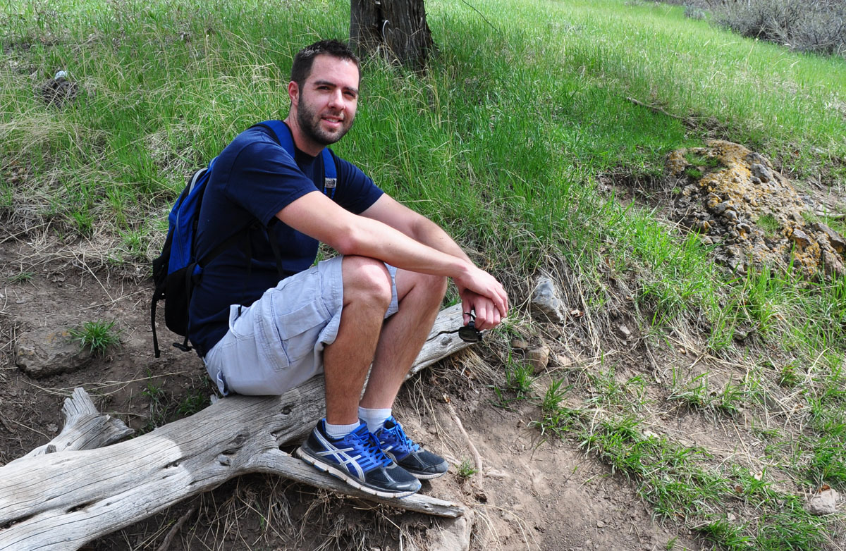
Taking a break with the pups

tyson_jackson_abi

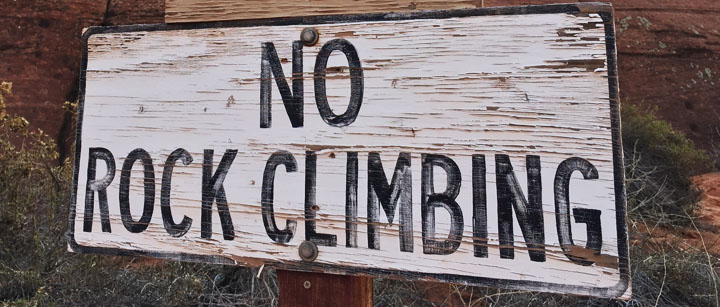
Sign along the roadway

sign

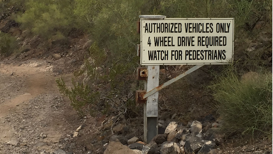
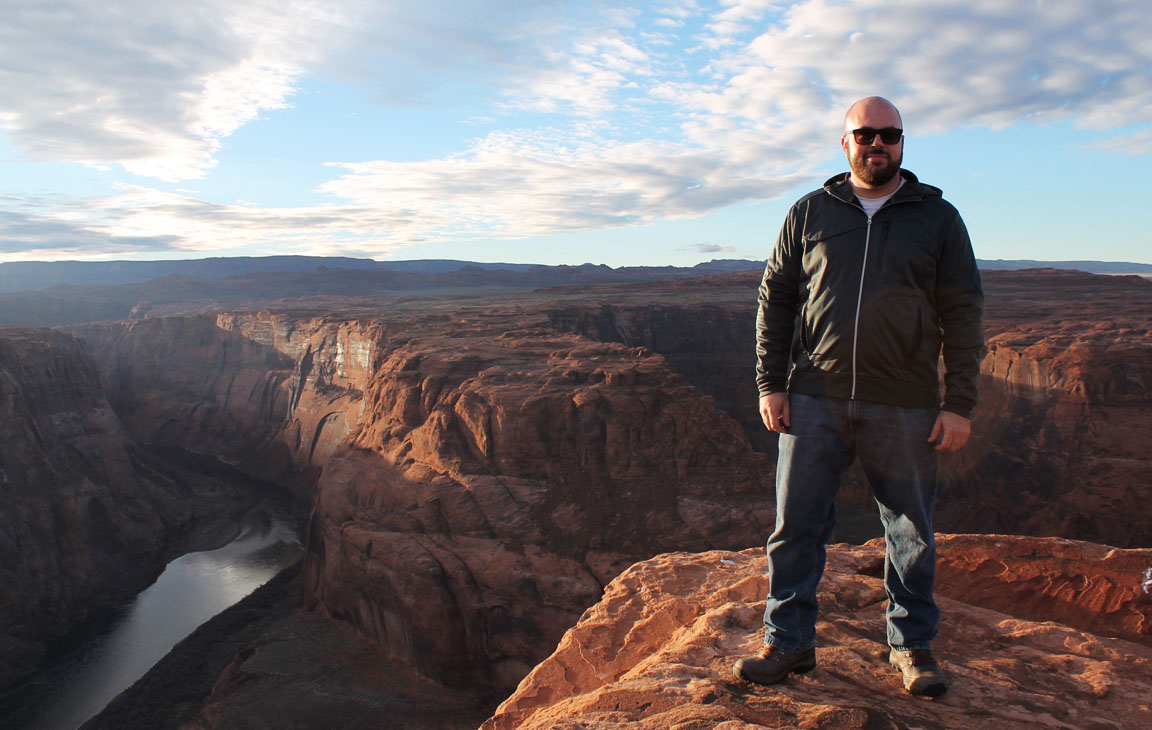
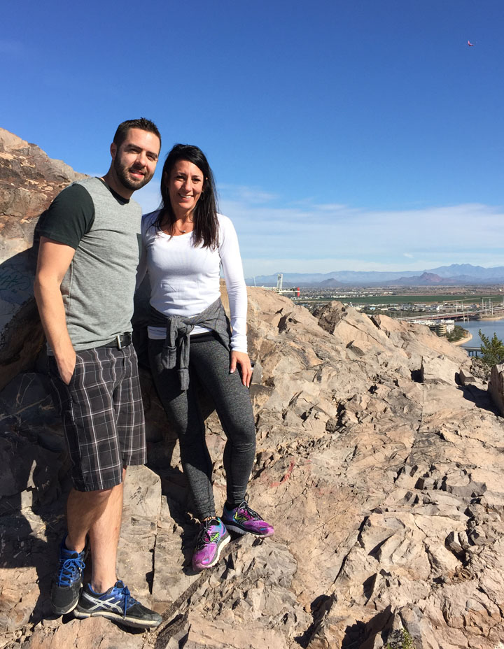
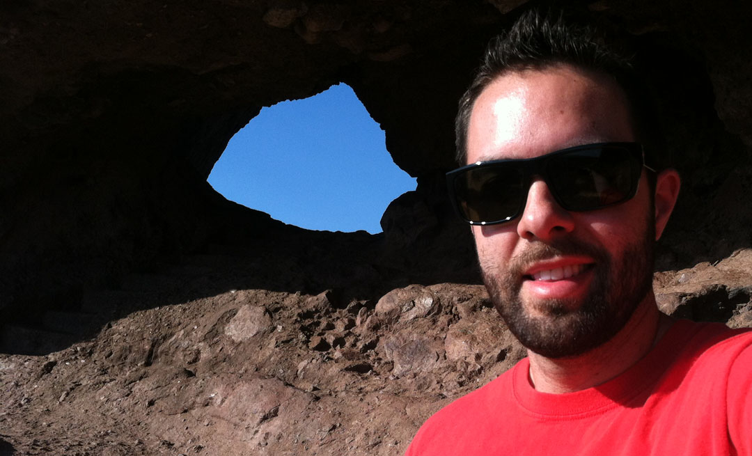
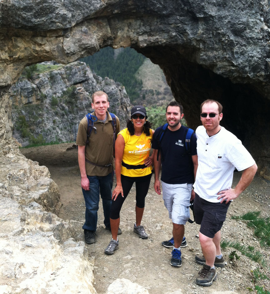
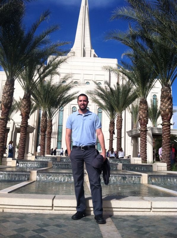
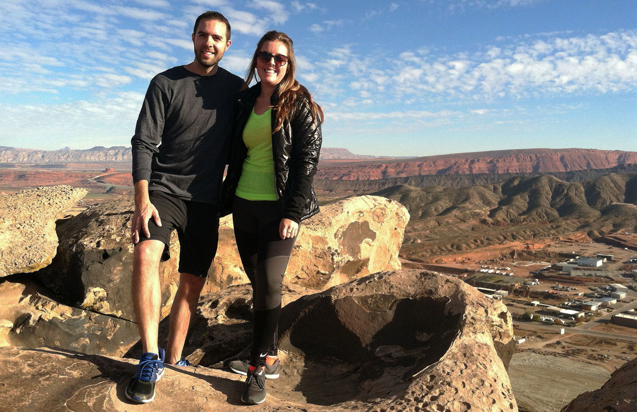
Photo op.  Color coordinated – unintentionally (I promise)

group

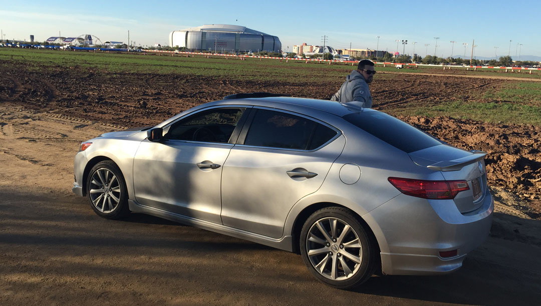
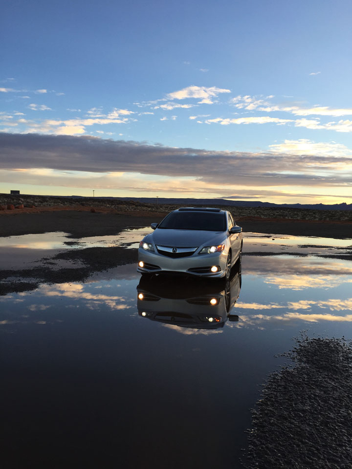
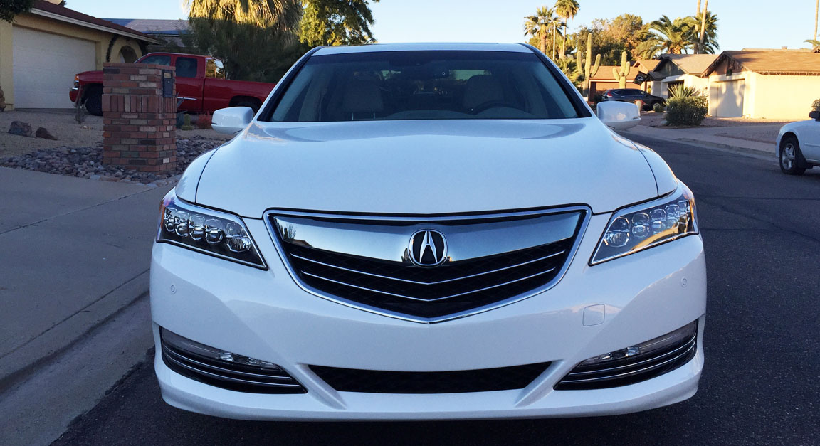
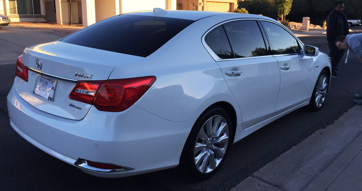
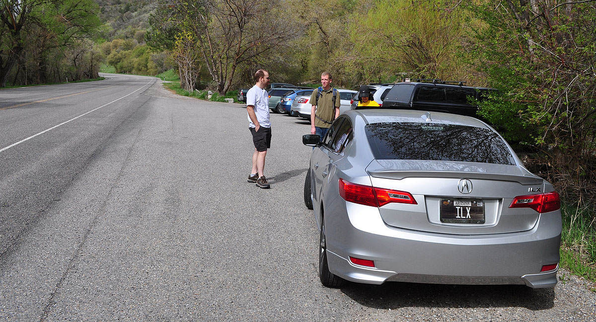
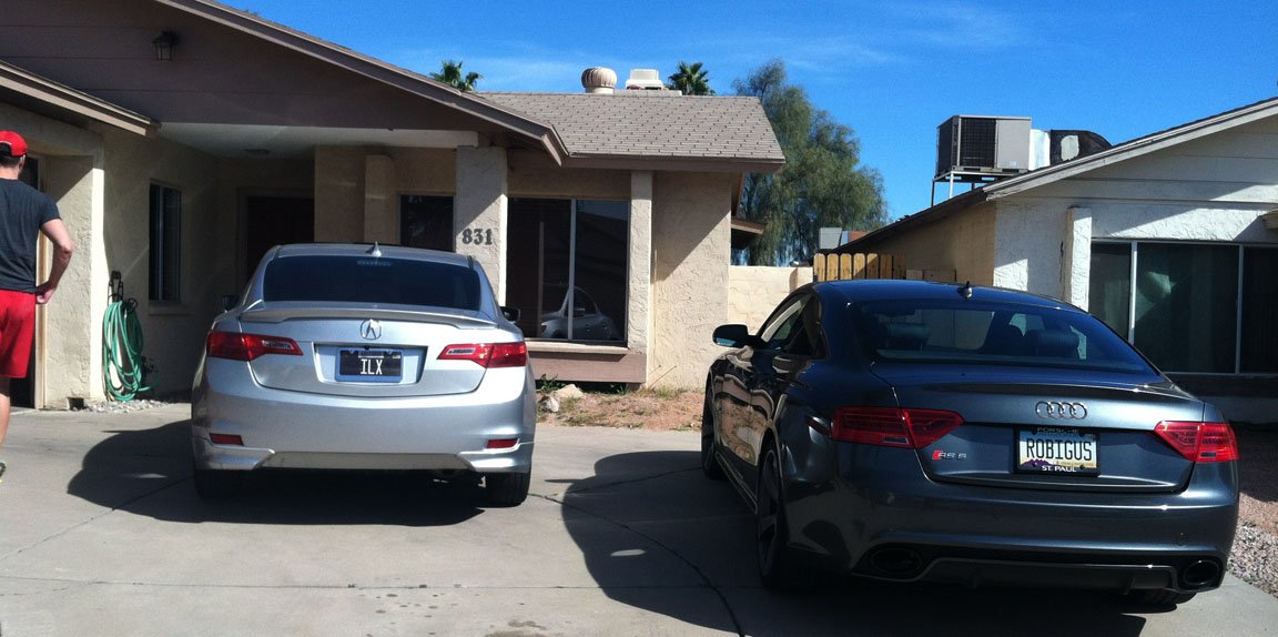
Best thing about the Acura ILX?  Huge cupholders that can accommodate gallons of diet soda after a hike.

cupholder

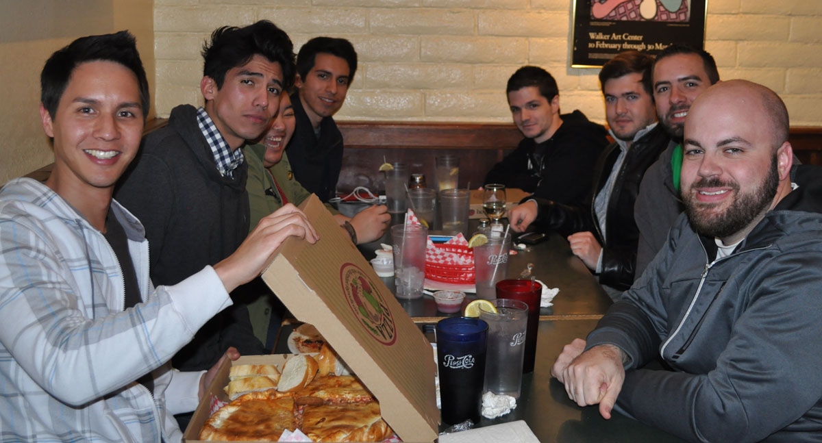
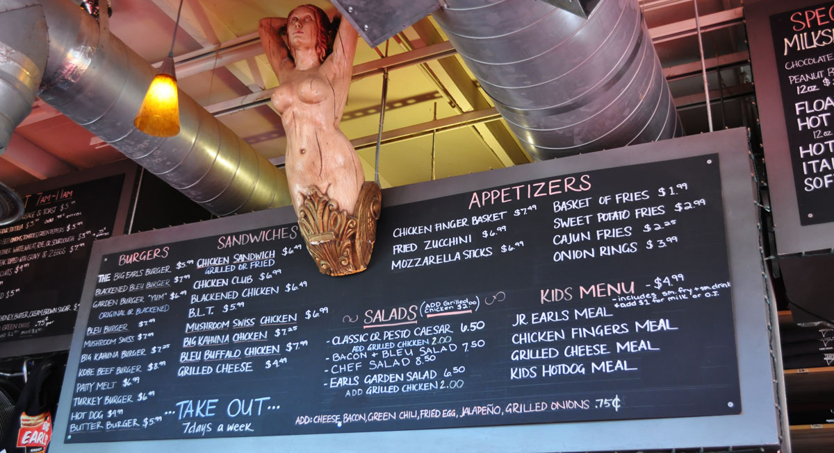
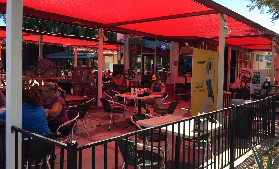
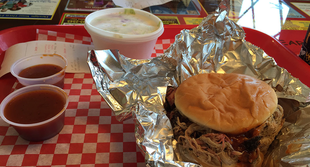
Now that we’ve worked up an appetite, I’ll do a quick share about a local restaurant that I checked out for the first time over the weekend. This one’s for you, Dave in Seattle!  I know my friend Dave is a BBQ fan so I thought he’d appreciate this.  It’s Honey Bear’s BBQ – family owned and operated since 1986.

coupe_at_honey_bears

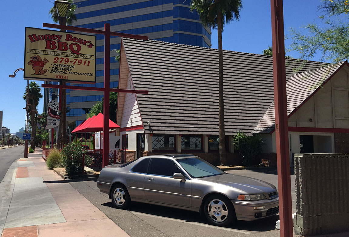
I was one of only 5 people in the restaurant at about noon on a Saturday.  Had my share of parking spot choices, and I took an end space as usual.  There wasn’t much traffic on Central Avenue.

coupe_on_central

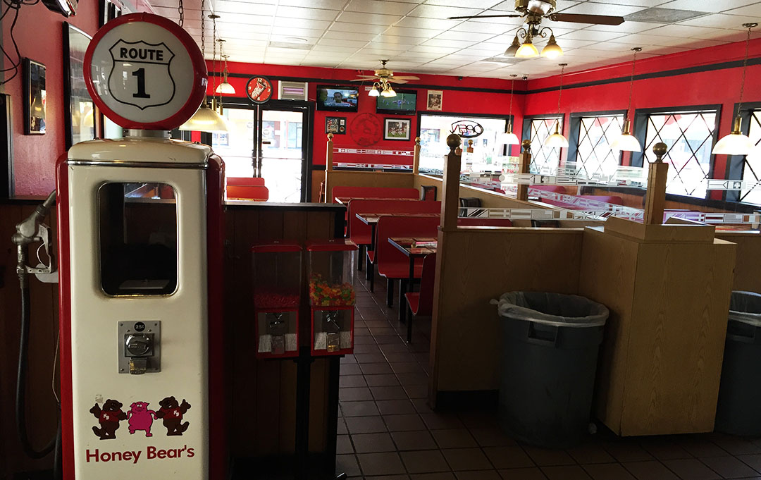
Inside view – pretty quiet.

honey_bears_interior

Those are some soft drinks you don’t see very often:  RC Cola, Sunkist, and Hires Root Beer.

sodas

“You don’t need no teeth to eat our meat.”  How’s that for a motto?

honey_bears_menu

And here’s that pulled pork sandwich.  Delicious, I’d say.  The only issue was that the meat was so juicy, it soaked through the bun and I ended up having to eat everything with a fork.

bbq_sandwich

And we’re off to cruise down Central on a full belly.

central_avenue

Hope everyone had a great weekend!

Northern Arizona Part 2: Horseshoe Bend, Colorado River

Posted in Arizona, Hikes, ILX, Road Trip on February 4, 2015 by tysonhugie

Odometer (Legend):  532,455

532455

Odometer (ILX):  112,326

112326

tyson_at_horseshoe

The story of our weekend’s canyon crusade left off when we had finished visiting the Utah/Arizona state line after our hike through Antelope Canyon.  But the fun wasn’t over quite yet.  Turns out, the timing was perfect to make a sunset-time visit to nearby “Horseshoe Bend.”  That name refers to a section of the Colorado River where it makes a 180-degree turn just south of Page, Arizona.  We were not prepared for the grandeur of this site!

Just a 3/4-mile hike from the trailhead, we stood at the edge of a 1,000-foot dropoff that rivals the nearby Grand Canyon.  We had to hike along the rim of the canyon with care, as the sand on the rocks made for a slippery surface.  None of us felt particularly like taking a freefall to the Colorado, though Peter stood on a pretty precarious looking ledge as if he entertained the idea:

peter_on_edge

Here I dangled my legs out a little.

chillin

Sunset lighting and some fresh rainwater puddles in the trailhead parking lot made for the perfect photo-op on our way back to Page.  Can you believe these pics we got of the ILX?!

jason_ilx_pic

Our night finished out with an enjoyable Italian meal at Strombolli’s.  Best of all?  We banned all electronic devices.  Here’s how that played out:  At one point, someone realized that all eight of us were iPhone users.  Naturally, we had to stack all the iPhones up in the center of the table for a picture.  This triggered an idea.  “Hey,” I said.  “Let’s challenge ourselves to leave these phones here for the entire meal and not touch them.”  I saw some fear struck into the eyes of a few, but we all agreed.  And what a great hour it was!  Talking — without feeling the need for constant text-messaging and Facebooking.  Just like in the olden days.  Stephen missed out on 24 text notifications but the rest of us only had a few.

group_at_dinner

iPhone Jenga

iphones

We all crashed out after an exhausting day and a dip in the Comfort Inn hot tub.  Sunday morning, I peeked out of our second-story hotel window and saw that the sky was completely clear and there was a thick layer of frost on every vehicle in the parking lot.  Sure enough, my weather app confirmed that was was a mere 30 degrees outside.

frosty2

We fueled up on hot breakfast in the lobby and headed out on our return to Phoenix by about 9:30 a.m.  In Flagstaff, we had a driver change and Peter took the wheel while I lounged in the back seat.  Peter commented that he felt that the ILX was faster than his Acura TSX which has a similar horsepower rating.  He had a great collection of tunes to entertain us with for the 2-hours remaining in our drive:  hits like Billy Joel’s “For the Longest Time,” and Aerosmith’s “Dude Looks Like a Lady.”  Nice selections, P!

Phoenix was crawling with Super Bowl festivities so my friend Scott and I couldn’t resist the temptation to drive over to the University of Phoenix Stadium in Glendale later that afternoon to see some of the chaos.  Sure enough, road closures, coned-off lanes, parking attendants, and plenty of police presence kept us from getting very close to the venue.  I did still manage to get a picture of the ILX in front of Super XLIX!  It was taken sometime during the second quarter of the game.

ilx_at_stadium

Please enjoy the rest of these pictures and a short video from Horseshoe!

horseshoe_1

A few photographers waiting for perfect sunset lighting

cliff

Pretty amazing all around

view

Silhouettes of our group

horseshoe

Back at the trailhead, some pics of the cars in the puddles

2

Talking on 8 iPhones at once at dinner

tyson_with_phones

Chilly Sunday morning

frosty

Highway 89 southbound with the San Francisco peaks in the distance, approaching Flagstaff

89

Peter at the wheel of the ILX, and Chris in shotgun

peter_driving_ilx

Driving past the Super Bowl while it was going on!

stadium

Super Bowl pic with my buddy Scott from Massachusetts (obvious Pats fan)

tyson_scott_stadium

Hey, did everyone see the side-by-side of the 2013-2015 ILX next to a 2016 model?  Thanks to Acura Connected for the image.  What are your thoughts on the changes?

ilx_old_new

Northern Arizona Part 1: Antelope Canyon

Posted in Arizona, Hikes, ILX, Road Trip on February 2, 2015 by tysonhugie

Odometer (Legend):  532,450

532450

Odometer (ILX):  112,154

112154

Trip Distance:  572 Miles

antelope_map

Saddle up for a drive!  We’re past due for some high adventure.

The area along the Utah-Arizona state line is one of the most oft-photographed locations in the southwest.  The Grand Canyon, Vermillion Cliffs, Monument Valley, and other landmarks offer endless opportunities for backcountry exploration in some remote – and stunning – desert landscapes.  This weekend, I took a couple of friends to a little-known slot canyon located on the Navajo Indian reservation near the small town of Page, Arizona:  Antelope Canyon.

tyson_in_canyon

Named originally for a herd of antelope that freely roamed the area, this canyon is a very sacred place to native people who live in the vicinity.  From the Navajo Nation website:

To older Navajos, entering a place like Antelope Canyon was like entering a cathedral. They would probably pause before going in, to be in the right frame of mind and prepare for protection and respect. This would also allow them to leave with an uplifted feeling of what Mother Nature has to offer, and to be in harmony with something greater than themselves. It was, and is, a spiritual experience.

Like other canyons in the area, Antelope was formed over time by erosion from rainwater which has cut the deep channels in the sandstone rocks while also smoothing the edges to create the “flowing” appearance of the walls.  Since 1997, the canyon has been accessible via tour guide only.  Part of the reason for that is because the dangers of slot canyon hiking can be extreme:  that same year, 11 tourists were killed by flash flooding in Antelope.  Back then, the ladders going down into the canyon were wooden and got swept away.  Today, metal ladders are bolted into place.  The “upper” canyon that we hiked didn’t require any ladder access.

canyon

Caramel frappaccino in hand (or in cupholder, rather), I cued up the windshield wipers on the ILX on Saturday morning at 7:00 a.m. and set out for the rainy open road with three friends:  Chris, Peter, and Stephen.  Our drive northward on I-17 to Flagstaff was wet and foggy, but we arrived just in time to meet up with a car-full of other roadtrippers who would be joining us for our excursion.  Jason of Driven for Drives brought along Alec, Jennifer, and Jouhl in his recently-acquired 2004 Mazda 6.  Now with 8 of us in total, we had about 130 miles left to go before hitting our destination.

hwy_89

Highway 89 descends from Flagstaff’s pine-covered 7,000 feet in elevation to the barren, yet beautiful, red sandstone valley below at around 4,300 feet.  We entered the Navajo Indian reservation which covers 27,000 square miles and spreads across Arizona, New Mexico, and Utah.  By this time, the sun had started peeking through the clouds and the scenery was non-stop.  I kept a close eye on Jason’s Mazda’s headlights in my rearview mirror and he didn’t fall too far behind.

arrival_page

By about noon, we’d rolled into the small town of Page, Arizona.  Page thrives on tourism thanks to being on the shores of nearby Lake Powell and close to Antelope Canyon.  However, because January is off-peak, we found very little traffic or difficulty getting a table at lunch right away for our large group.  The “super burrito” at Fiesta Mexicana hit the spot – and soon, we were ready to go canyoneering.

leaving_lunch

Much like the early pioneers must have arrived in covered wagons, we donned our sweatshirts climbed into the bed of a lifted Ford F-250 pickup with a blue canopy overhead and our tour guide from Antelope Canyon Tours gave us the lowdown.  “It’s a 20-minute drive to the mouth of the canyon,” she said, “and half of that will be on a dirt road.”  Sure enough, before long we were bouncing along in a sand-covered wash toward Upper Antelope Canyon.

unloading

This particular stretch of the canyon is only 1/4 mile long but has some of the most incredible rock formations I’ve ever seen.  With each turn, our guide would shine her flashlight and point out different features & shapes:  the face of Abe Lincoln, the “Heart of the Canyon,” a pattern that looked like it was woven, and many others.  We did the best we could to get some pictures along the way but in the 120+ foot depths of the canyon and under mostly overcast skies, many times it was too dark for a photo to do it justice.

stephen_tyson_peter_chris

The next chapter of our day was a quick jaunt to the Utah state line just a few miles north on Highway 89, for the sake of a couple individuals in our party who hadn’t yet been to that state.  Jason turned over the Mazda to me for part of that drive, and I fully enjoyed it!  We had thought of touring nearby Glen Canyon Dam but the visitor center had closed at 4:30 p.m. right as we arrived, so we had a brief pow-wow in the parking lot to decide our next move.

utah_state_line

And for that next move, you’ll have to tune in next time!   It’s special enough that it deserved its own post.  Thanks for coming along, and enjoy the rest of these pics and a short video in the meantime.

Road trippers Stephen, Peter, Chris, and Tyson

car_selfie

Approaching Flagstaff on Interstate 17 northbound

i17

I’m okay with those gas prices in Flag!

flag_gas

Gearing up to head out

fueling_up

Suspension bridge in Cameron, Arizona:   Built 1911, it’s 680 feet in length.  It was damaged by an overload of sheep in 1937 (!) and was retired in 1959.

cameron_bridge

The “Little Colorado River” which that bridge crosses.  Looks pretty muddy to me.

river

Lunchtime for some hungry travelers in Page at Fiesta Mexicana

lunch

Our limousines for the next portion of the trip

tour_trucks

Awaiting our 1:30 p.m. tour departure in Page

antelope_canyon_tours

Peter, Stephen, Chris, Jouhl, and Jason riding along in the back of the truck

group_on_truck

Entrance to Upper Antelope Canyon

canyon_entrance

Inside the canyon

tyson_in_canyon_2

Views all around

canyon2

Jouhl and Jennifer looking up

jouhl_jennifer

Tyson and Jason

tyson_jason_in_canyon

Tyson, Jason, Jouhl, Stephen – and Peter in front

group_at_canyon

And the entire group, on our way back through

whole_group

Not allowed!

no_rock_climbing

Back at Comfort Inn – Room 324 gave me a perfect view of the cars.

ilx_mazda

Utah state line with Jason

tyson_jason_state_line

Lake Powell – 9 trillion gallons’ worth!  I took the ILX across this lake on a ferry last year.

lake_powell

Glen Canyon Dam, completed in 1966

glen_canyon_dam

Hey, check out that milestone!

111111

Until next time.  Oh, and a shameless plug!  Mom’s Lexus is for sale.  Link!

Pics: Birthday Weekend 33

Posted in Arizona, Hikes, ILX on January 2, 2015 by tysonhugie

Odometer (ILX):  109,058

109058

Odometer (NSX):  99,301

99301

Happy New Year!  Got a grab-bag of pics to share today as we kick off 2015.  I’m feeling pretty ancient these days!  I hit my 33rd milestone birthday last Sunday, December 28th.  All threes, baby.  Kind of like that road trip in July 2008 when I rolled threes in my Legend.

3333333

The outpouring of birthday wishes was overwhelming.  At least a couple dozen of the posts on my Facebook page had some reference or another to car stuff, like this special Happy Birthday graphic made with Honda & Acura emblems.

honda_bday

This was one of my faves:

acura_bday

As well as this from Dillon:

dillon_bday_post

Thanks, Dillon!

And a few references to road trips rounded out the mix:

patrick_bday_post

One friend (HondaPro Jason) even went to the effort of making me a video!  My mom made a special card for me.

mom_bday_wish

The whole weekend was filled with festivities.  Every year between Christmas and New Years, my dad & stepmom come down to Arizona from Utah to visit.  We always find fun projects to work on around the house.  This time, we focused our attention on the front yard.  The area near my front door has always been a bit of an eyesore.

yard_before

The ILX doubled as a pickup truck when I went to Lowe’s and picked up 17 bags of large river rock.  We ended up making at least two other trips – transporting probably 40 bags or more.

ilx_at_lowes

Step 1 – Clearing out the area.

yard_work

Step 2 – Dad working on a pesky root that was in the way.

yard_work_1

Step 3 – Laying down the new rock.

yard_work_2

Step 4 – Finished product!

yard_complete

My dad also got me some storage containers for my cabinet in the garage and we organized it.

closet

Time for an ILX bath.

ilx_bath

And a visit from Joe who drives this 165,000-mile 1995 Legend LS coupe.

tyson_joe_coupes

It was great to catch up with Joe again.

coupes

But wait, there’s more.  Walter, who owns the gorgeous 2015 Legend Coupe, stopped by in his new Acura RLX Sport Hybrid.

acura_house

That pearl white was blinding in the afternoon sunlight.

rlx_legends

We took a quick spin around the block and onto Loop 101 for a spirited onramp acceleration exercise.  This car can get up and go!

rlx_interior

Gorgeous from every angle.

rlx_front

Those 19’s really set the car off.

rlx_front_right

Just 110 miles on this beauty.

rlx_right_rear

There were only 250 of the SH-AWD RLXs produced.  It’s a very limited-edition model.

rlx_back

Dinner with some friends.

pfchangs

Sunday morning hike up Hayden Butte in Tempe.

tyson_tanya

View overlooking the city.  Gorgeous December day!

view

The ILX got its 3rd set of tires on New Year’s Eve.  I went with Michelin Primacy MXM4’s from TireRack.  I got 56,649 miles out of my last set.  The cool thing is, I picked up an extra full-size 17″ wheel, so now I’m using that as a spare tire instead of the teeny little donut that came with the car.

spare

And finally, my old red car had a fun week in the hands of my buddy Devan who was back visiting from school in Indiana for the holidays and needed a “rental.”  He took good care of it and even gave it a detail.

nsx_key

Foam bath

nsx_foam_bath

All clean

ns_exterior

Check out those racing stripes in the carpet!

nsx_interior

Follow Devan’s detailing biz on Instagram at @dnaautodetailing.  He does great work, as you can tell!

Hope everyone has a great weekend.

Utah’s Zion National Park: “The Subway” Hike

Posted in Hikes, ILX, Road Trip, Utah on November 12, 2014 by tysonhugie

Odometer (Legend):  531,804

531804

Odometer (ILX):  103,488

103488

Trip Distance:  80 Miles

stg_to_zion

Grab a $5 footlong before getting started with this post.  The Subway I’ll be introducing you to today, however, isn’t any kind of sandwich.  It’s something far better:  It’s one of the most remote and scenic canyons in the country.  Growing up in southern Utah, I was lucky to have several national parks right in my own backyard.  Utah, in fact, is often considered the country’s national park capital because there are five parks in close proximity.

falls

Zion National Park covers 229 square miles but it’s most known for 15-mile-long Zion Canyon.  Its designation as a national park happened almost exactly 95 years ago, in November 1919 under U.S. President Woodrow Wilson.  The canyon itself is up to 1/2 mile deep and cuts through the sandstone rocks in dramatic red and orange colors.  Back in May 2013, I shared a throwback post about a few of my visits to Zion including my favorite hike of all time, Angel’s Landing, which ascends a narrow pathway through terror-inducing heights with 1,500-foot cliff drop-offs on both sides.  Yeah, don’t lose your footing.

park_sign

For years I’ve known of a hike called The Subway but it wasn’t until this weekend that I actually got the chance to experience it.  Due to its treacherous nature and in the interest of preservation, access to The Subway is heavily restricted by the National Park Service and a backcountry permit is required.  My mom reserved a permit for our group several months in advance, so we set aside the date and planned our visit around a fixed date.

group_in_ilx

Bright and early on Saturday morning (do people ever say they got up “dark and late”?), five of us piled into my ILX and headed toward the entrance to Zion in Springdale.  It was a cozy squeeze but only about a 40-mile trek.  We ran into a traffic delay just before entering park limits, thanks to a 10K run that caused a road closure.  By the time we’d retrieved our permit from the Visitor Center, driven 8 miles up Kolob Terrace Road, and unloaded our gear, it was around 10:45 in the morning when we started the hike.

kolob_terrace_rd

For the next 6 hours, we’d be traversing some of southern Utah’s most rugged and scenic landscapes – with many of the fall colors at their peak, too.  Motivated and full of energy, we practically skipped down the singletrack dirt trail for the first 1/2 mile or so.  Terrain was level for the time being.  Soon, though, we started dipping down rocky, steep (and sometimes slippery) red dirt as we made our way to the base of the canyon.  A few of us had walking sticks, but Justin and I did the best we could to find our footing without the assistance.  The lower in elevation that we got, the more clearly we could hear the babbling of the Virgin River as it carved its way through the canyon.  Aside from a couple of cairns here and there, we had very few points of reference to go on.  Sometimes, the trail was wherever we wanted it to be.

river_crossing

We frequently had to climb up, over, or around boulders that were bigger than SUVs.  They came in a variety of shapes, sizes, and colors.  Some had edges that looked so precision-cut, they almost seemed man-made.  About an hour into the hike, it became apparent that getting our feet wet was going to be inevitable, so we swapped our footwear for water-friendly Teva sandles and continued onward.  Multiple times we did end up having to cross the Virgin River as we headed up the canyon.  One of my favorite things about The Subway hike was its solitude:  In our entire day of hiking, we encountered probably fewer than two dozen people.

It seemed like it took forever, but we finally started noticing that the canyon narrowed and we crossed over some eye-catching tiered waterfalls.  Just around the corner, The Subway was there in all its glory, and we spent some time in that area admiring the surroundings.  The actual section of the hike that has rounded subway-like walls is only about 1/4 miles in length.  It lies between two peaks called the North and South Guardian Angels.

tyson_in_subway

Glancing at her watch, my mom alerted us to fact that it would start getting dark in just 3 hours.  The last place any of us wanted to be at dusk was stuck inside the canyon, so we somewhat hurriedly started back-tracking toward the trailhead.  I found it interesting that the reverse hike often times offered completely different looking views than what we had seen on the first leg.  It was a bit unnerving when Justin and I came across a group of 3 people who were terrified:  “We’ve think we’ve missed the exit.” (referring to the area where we needed to climb up out of the river bed and ascend to the trailhead).  Justin and I were quite certain we hadn’t yet gotten to to that point in the trail.  Still, it made my heart skip a beat to think that we might end up hopelessly lost and need to spend the night in a dark canyon.

Sure enough, we did find our way out and we spent the last ounce of our energy (and our last few drops of bottled water) on climbing the 1,000 or more feet in elevation to the parking lot, just as the sun started dipping beneath the horizon.  I passed by a man who was clearly struggling to carry a bunch of camera gear and offered to lighten his load.  He graciously accepted the offer and had me unlatch his heavy tripod so that I could carry it to the top for him. It was such a relief to get to the summit and know that we had finished our mission safely.

The Subway offered up an experience that I won’t soon forget!  More pictures follow below – hope you enjoy them.

First, a very short (15-second!) video.

Stuck in Saturday morning traffic in Rockville, Utah – headed to get our backcountry hiking permit.

rockville

Arrival at the Left Fork Trailhead.

justin_with_ilx

Todd and Tia getting ready for the descent into the canyon.

zion_wilderness_sign

Making our way down the steep slope toward the Virgin River.

descent

Fall colors as mom makes her way through the canyon.

tia_hiking

Justin shows off his strength with this huge boulder.

justin_holding_rock

Obligatory hiking selfie.

tyson_todd_tia

Pit stop along the river as we headed toward The Subway section.

tyson_justin

More fall colors.

leaves

Small waterfalls were found throughout the canyon.

justin_on_rock

Scenery unmatched.

view

One of several terraced waterfalls.

steps

Arrival at The Subway.

subway_5

The Subway.

subway_3

This was as far as we went into the depths of The Subway.  We would have needed to rappel to go any further.

subway_2

Taking a breather before starting the return trip.

subway1

The Virgin River cascades down this smooth rock face.

falls2

Back at the trailhead, victorious!  Aunt Jodi, Justin, Tyson.

finished

Despite not having any service, my iPhone somehow calculated my daily steps at 22,872 – equaling 11.03 miles and 59 flights of stairs.

health_info

It’s no wonder my legs were still sore even a couple days later.  Hope you enjoyed the hike!

Cave Creek, Arizona: Sears Kay Ruin Hike & Big Earl’s Greasy Eats

Posted in Arizona, Hikes, ILX, Road Trip on October 12, 2014 by tysonhugie

Odometer (Legend):  531,609

531609

Odometer (ILX):  99,625

99625

Trip Distance:  81 Miles

map

Let’s get the heck out of town!  In the matter of a short 3-hour jaunt today, my friends and I squoze (squeezed?) in a scenic drive, a hike, and some great grub.  I’d say this Sunday funday got off to a really nice start.  This morning, my friend Jack, Ian, and Brian stopped by to ride as passengers in the ILX as we headed to the hills northeast of Phoenix, Arizona.  We made our way northbound on Loop 101 and Pima Rd, followed by a turn down Cave Creek Road toward its dirt road terminus.  Our first stop included a history lesson.

sears_kay_sign_2

Sears Kay Ruin has a self-guided hike that we stopped to get a closer look at.  Historians believe this site was occupied between 1050 and 1200 AD by the native Hohokam people.  The place gets its name from a rancher who occupied the area in 1887.  The site at one time was elaborate with 40 rooms or more, but today the walls are weathered and worn down to just a couple of feet high.  From the parking area, the one-mile loop was steep at times but not overly strenuous.  The 360-degree views were worth every drop of sweat.

brian_jack

After the hike, we headed out in the ILX toward the end of the pavement on Cave Creek Road.  The twisties got a little more intense but the pavement was fresh so conditions were right for having a little bit of cornering fun.  The ILX definitely handles differently when I’ve got 3 passengers as opposed to when it’s just me.  I actually prefer how “planted” it feels when there’s a little more weight in the car.

ilx_front

When I see a sign that says “Pavement Ends,” it’s usually more an invitation than a warning.  It only encourages me to keep pressing onward to see what might lie around the next bend.  Further up the dirt road lies Seven Springs Campground was built by the Civilian Conservation Corps in 1934 and has 25 different sites.  It’s 9 miles 0f narrow gravel road with blind curves at times, but you can bet I’ll be going back to explore its entirety soon.

earls_sign

Our last stop was at a lunch destination with a very odd name:  Big Earl’s Greasy Eats started out as a 1935 Standard Oil gas station in Phoenix but was moved in the 1950’s to its current location in Carefree, Arizona.  Since 2002, it’s operated as a restaurant.  The menu consisted of standard diner-type fare, and I opted for the mushroom & Swiss hamburger accompanied by some sweet potato fries.  All in all, a perfect mini adventure and a nice escape with friends.  Thanks for joining us for the drive!

Parking at Sears Kay trailhead

sears_kay_parking

Information on the Sears Kay history

sears_kay_sign

Some of the ruins.  These have been reinforced over the years.

ruins

Ian, Brian, Tyson

ian_brian_tyson

Jack posted this snazzy pic of me behind the wheel.  Follow him on Instagram!

jack_insta

Here’s a look at Cave Creek Road, just prior to where it turns to dirt at the north end.

cave_creek_raod

Menu at Big Earl’s

earls_menu

Parking at Big Earl’s

ilx_at_earls

Tyson and Jack enjoying the weather in Cave Creek, Arizona

tyson_jack_at_earls

Patio at Big Earl’s

earls_patio

Ian strutting his stuff at Big Earl’s

ian_sign

Playing in Phoenix’s Papago Park

Posted in Arizona, Hikes, ILX on August 10, 2014 by tysonhugie

Odometer (Legend):  531,389

531389

Odometer (ILX):  91,003

91003

It’s been a relaxing last couple of weekends in town since the whole NALM adventure in Los Angeles.  I’ve lived in the Phoenix area for 8 years and it wasn’t until yesterday that I took the time to hike Papago Park.  There’s a sandstone rock formation there called “Hole In the Rock.”  Many years of wind erosion (6 million+ years worth) have left an opening in this gigantic rock.  It’s believed that ancient Hohokam Indian tribes used the openings and sunlight to track the solstices.

ilx_at_papago

If you look very closely (and excuse the poor quality of my iPhone photography) you’ll see miniature people standing inside the opening in the above picture.  To access that area, the very short trail goes around the back side of the rock and up a series of steps.  I was walking at a good pace and it took me only about 8 minutes to get up to the viewpoint.

hike_steps

On approach, the view is something like this.

hole_view

And here’s the view while sitting in the opening.

papago_park

Made it!

tyson_at_hole_in_rock

Stay tuned to RNR Auto Blog for a review coming up of the Legend coupe & sedan.  My friend Ruben and I got together for some pictures and test drives of the Desert Mist Metallic twins this afternoon.

1994_legends

In other news:  Y’all remember that guy from Idaho with the 410,000-mile TSX who joined me for a drive over the 4th of July?  Well, unfortunately he had a little run-in with a pickup truck a few weeks ago and his car has been under reconstruction.

josh_tsx

The great news is that the car is already repaired.  In a short matter of time, Josh is now back to pounding the pavement in his tried and trusty workhorse.  Follow his detailed account of his TSX rebuild on TSX Travels.

Have a great week!

Hike in Logan Canyon, Utah: Wind Caves

Posted in Hikes, ILX, Utah on May 4, 2014 by tysonhugie

Odometer (ILX):  78,139

78139

Fill up your water bottles and grab your granola, because we’re heading for the hills.  This morning, I ventured up the Logan Canyon Scenic Byway – also known as Highway 89 – in search of some of nature’s beauty.  My companions for this trek were my mother, Tia, as well as two friends, Ryan and Tyler.  Logan Canyon has always been one of my favorite places to drive.  Its well-finished pavement, banked curves, and roadside scenery make it a popular highway for motorcyclists and sports car enthusiasts – that is, for the 7 or 8 months of the year when weather is prime.

tyson_hiking_2

For today’s taste of the outdoors, we drove several miles up the canyon and parked at the trailhead for the Wind Caves.  This is a hike with moderate difficulty due to its steep grade, though it’s only about a mile and a half in one-way length.  Right off the bat, I recognized that the elevation (5,100 feet at the base) played a role in my shortness of breath.  I was grateful for the light breeze and the semi-overcast skies which shielded us from the sun.  My mom was the clear front-runner of the group – she’d walked 10 miles just yesterday, so this was nothing for her.

It took us about an hour to make the 900-foot ascent to the limestone rock outcropping known as either Witch’s Castle or Wind Cave.  There were a half dozen or so other people hanging out at the summit who we visited with.  I was grateful for the chance to catch my breath and share a bite of Tyler’s energy bar (way to be prepared, Tyler!).  Here I’m pictured with Tyler, Tia, and Ryan.

hiking_group

The descent seemed to go by in mere minutes.  Before I knew it, we were back at the parking area.  For our exit from the canyon on Highway 89, I took the wheel of Tyler’s 98,000-miles 1989 Honda Accord coupe.  I’m always amazed at the condition of Tyler’s classic Hondas (he’s also proud owner of a 1990 Prelude Si 4WS).  The Accord, for being 25 years old, drove as tightly as my ILX.  The car was expertly engineered to provide optimal visibility.  I loved driving with the pop-up headlights illuminated – it felt like a step back in time.  Thanks, Tyler, for the honor!

tyler_accord

tyson_driving_accord

Similarly, I owe Ryan a huge thanks for letting me drive his black Honda S2000 this morning.  I wish I’d thought to get a picture.  Its shifter was one of the most precise I’ve ever rowed.

I’ll be sharing more soon about the rest of this weekend’s fun, but hope you enjoy some pictures from Wind Caves.

ilx_in_logan_canyon

Scoping out the map before starting up the mountain.

tia_ryan

One-lane dirt trail – up & back.  Easy peasy.

hike

Mom takes the lead.

tia_hiking

Tyler pointed across the canyon at the “Crimson Trail” that winds up the opposite side.

tyler_hiking

Taking a much-needed break.

tyson_hiking

View from atop the limestone wind caves.

overhead_caves

And inside them.

wind_caves_3

Crawling around and exploring a little.

tia_tyson_wind_caves

The view from inside the cave is spectacular.

wind_caves_2

wind_caves

Back at ground level, mom takes the wheel of the 6-speed ILX.

ilx_in_logan_canyon_2

Probably rocking out to a good song, she gave us a thumbs up as we pulled alongside in Tyler’s Accord.

tia_driving_ilx

Driver switcheroo at “Ray Hugie Hydro Park.”

accord_ilx

The park was named for a relative of mine who spent the better part of his lifetime working as City Engineer.  For 44 years, Ray served the Logan community.  The $15 million hydroelectric generation power plant near this park was one of the projects that he was instrumental in carrying out.  Ray Hugie’s father and my great-great-grandfather were brothers.

ray_hugie_park

Check you later!

Camelback Hike in Phoenix & the 1990 Integra

Posted in Arizona, Hikes, Throwback on February 16, 2014 by tysonhugie

Odometer (Legend):  528,685

528685

Odometer (ILX):  67,484

67484

Weather in Phoenix broke some records this weekend (87 degrees!), so my friends and I took the opportunity to get outdoors and enjoy some sunshine.  Camelback Mountain Desert Preserve was established in 1968 by then-president Lyndon Johnson and has become a popular area for hiking recreation.

Along with 4 friends including my friend Conor who’d flown in from New York for the weekend, I hiked the Cholla Canyon trail.  It’s only about 1.5 miles long each way, but the elevation gain is 1,200 feet and in some areas it requires getting on hands & knees to scale the faces of rocks.  The view from the top was worth it.  Here I’m pictured with Brad, Matthew, Conor, and Justin.

7

Heading to the trailhead with Brad, Conor, and Justin

group_in_car

I think we had to park as far away from the trailhead as the length of the hike itself.  Very busy day!

ilx_with_group

Trailhead arrival

cholla_trail

The summit is 2,704 feet in elevation.  On a clear day, expansive views can be enjoyed a full 360 degrees.

4

Afterward, we bought out the lemonade stand at the base of the hill.  I hadn’t packed any water – big mistake!

conor_justin_in_ilx

Brad’s 2013 Audi RS5 looked right at home in the driveway.  I want it!

ilx_rs5

Later in the weekend, I drove Conor out to Gilbert, Arizona in the 1994 Legend coupe.  He’d never seen a Mormon temple before so we checked out the brand new one that was just completed there.  It’s the 142nd temple in operation for the Church of Jesus Christ of Latter-day Saints.

gilbert_lds_temple

The temple sits on 21 acres southeast of Phoenix and 83,000 square feet of floor area.  It’s open to the public for tours until the March 2nd dedication date.  I took a tour of the building a couple of weeks ago and was very impressed with the craftsmanship and architecture.

IMG_2303

Thought I’d add a little throwback segment today since I scanned some old pictures this week.  I’ve shared before that my first Acura love was a car that my mom bought when I was 14 years old.  It was a Rio Red 1990 Acura Integra GS Sedan with an automatic transmission.  That car was a huge upgrade from some of my mom’s previous rides, including a Pontiac Grand Prix and a Jeep Cherokee.  I loved how sporty it was.

Here’s a photo taken on November 9, 1996 at a family dinner outing.  We parked next to my uncle Dande’s Bahama Gold Metallic 1988 Acura Legend L Sedan 5-speed that I later owned.  Acura parking only!  I was already addicted even back then.

tyson_with_legend_integra_1996

Here are a couple of photos that were taken after a detail in St. George, Utah.

integra1

I kind of wish we still had that Integra!  Though, the Acura ILX today carries on the Integra’s DNA as the brand’s stylish entry level compact sedan.

integra2

That old Integra provided reliable service until we upgraded to a 1993 Legend L Sedan in June of the following year.  Meanwhile, we enjoyed that sporty little ride.

Hope everyone had a great weekend!

ILX Drive: Shinob Kibe Hike in Southern Utah

Posted in Hikes, ILX, Utah on December 1, 2013 by tysonhugie

Odometer (Legend):  528,062

528062

Odometer (ILX):  61,263

61263

shinob_aerial

It’s tradition in my family to do a little hiking each Thanksgiving weekend.  Even though I lived in St. George, Utah for almost 10 years, I had never heard of “Shinob Kibe.”  The name comes from a Paiute Indian deity who was considered protector of the tribes.  From what I’ve been able to learn, Shinob means “great spirit” and Kibe means “mountains.”  The butte that we climbed also has significance in aviation history:

Back in the 1930s, the Civil Aviation Authority was trying to figure out a way to help guide the small mail-carrying aircraft that were traveling between Los Angeles and Salt Lake City.  A series of concrete navigation arrows were constructed on the ground at 10-mile intervals throughout the length of that trip.  The concrete arrows are still in place today.  From overhead, they look relatively small, but they are actually 70 feet in length.

Each arrow had a 51-foot-tall steel tower constructed next to it.  A (one-million-candle-power!) rotating beacon at the top of the tower would illuminate the arrow.  More on this here:

Even the dumbest of air mail pilots, it seems, could follow a series of bright yellow arrows straight out of a Tex Avery cartoon. By 1924, just a year after Congress funded it, the line of giant concrete markers stretched from Rock Springs, Wyoming to Cleveland, Ohio. The next summer, it reached all the way to New York, and by 1929 it spanned the continent uninterrupted, the envy of postal systems worldwide.

This is a map of what that network of arrows looked like at one time.

mail_arrows_route

Here’s the navigation arrow that we hiked to on Shinob Kibe, as seen from Google satellite images:

overhead_arrows

The hike itself was relatively short but the elevation gain was intense, with a climb of about 750 feet in less than one mile.  When we made it to the summit, it was a special feeling to stand on that historic arrow and recognize its importance.  There was a log box there where we signed in with our names & the date.

Yesterday, I made the return 430-mile drive to my home in Scottsdale, Arizona.  Along the way, I took a couple of impromptu detours.  The first was a stretch of old US Highway 91 between Littlefield, Arizona and Mesquite, Nevada where I captured this picture in the morning light.  I had the road to myself!

ilx_on_highway_91

The second was a short visit to an 1860’s mining town north of Kingman, Arizona called “Chloride” which I’ll save for a separate blog entry in the near future.  Below are the photos and video that we took during our hike at Shinob Kibe.

On Friday afternoon, we loaded up the Acura ILX with with bottled waters and a few snacks for the ascent.

ilx_at_holms

Tia, Todd, and Tyson in Transport to the Trail.  Is that enough T’s for you?  Some other friends followed in a separate vehicle to meet us in Washington where the hike began.

tia_todd_tyson_in_ilx

We parked at the trailhead which is now part of a residential community on Paiute Drive.  Back in the 1930s, there were no homes anywhere near this area but suburban growth has brought development right to the base of the mountain.

todd_with_ilx

Soon we were on our way to find this elusive navigation arrow.  Pictured here are Melynn, Holly, and myself (notice, with trail notes printed and in-hand!).

melynn_holly_tyson

Todd and Tia making their way up the face of the mountain.  We initially had a tough time finding the trail itself, so we forged our own way until we met up with it.

todd_tia_hiking

Melynn was taking a breather to admire the surrounding views.

melynn

Late afternoon weather was optimal.  We got our cardio workout in while burning off some of those Thanksgiving calories.

danielle_mitch

After we zig-zagged our way up the face of the peak, the trail leveled out a bit.  Just a bit further up the sloping grade, we could see a post with a metal box attached to it.  We had arrived!

hiking_up

Here I was standing at the tip of the arrow, at elevation 3,228 feet.

tyson_at_shinob_kibe_arrow

Danielle and Melynn set to work signing us into the register.  There were multiple filled notebooks inside the metal box.  The summit is also a popular place for geocaching.

signing_log_book

The concrete arrow today is still in decent shape with surprisingly little cracking.  The center square pad is where the 50-foot-tall tower once stood; we could still see the base of the metal tower that had been cut off.

arrow

Mitch, Tyson, Todd admiring the arrow.

mitch_tyson_todd

Standing at the top of the world – or at least on top of one of the many peaks in Washington County, Utah.

todd_tia_tyson_waving

The view from this area is stunning, since it wraps a full 360 degrees.

mitch_holly

Tia was visibly a bit nervous to be standing on the edge of a several hundred foot dropoff.

todd_tia

Holly and I weren’t too concerned, however.

tyson_holly_at_summit

Group shot (thanks Melynn for taking it!):  Todd, Tia, Holly, Tyson, Mitch, Danielle

shinob_hike_group

The descent went quickly.

hiking_down

And soon, we had arrived back at our chariot!

tyson_holly_with_ilx

Sunday’s return to Phoenix started around 7:30 in the morning, as I made my way down Interstate 15 to the Arizona state line on a crisp November day.

arizona_welcome

The detour along old Highway 91 took me across this old bridge that’s barely wide enough for two cars to squeeze by one another going opposite directions.  I love exploring infrastructure like this, and I took the opportunity to park the ILX and walk around beneath the bridge for a few minutes.

hwy_91_bridge

My last oil change in the ILX was on August 17th, 2013 at 52,237 miles.  At 61,016 miles (8,689 miles later!), the “Maintenance Minder” popped up and alerted me that remaining oil life was at 15% and instructed me to schedule an A13 service.  I spoke on the phone with Acura of Tempe and learned that an A13 includes oil and filter change, tire rotation, and replacement of the transmission fluid.  I’m scheduled for that service tomorrow.

schedule_a13_service

Until next time!