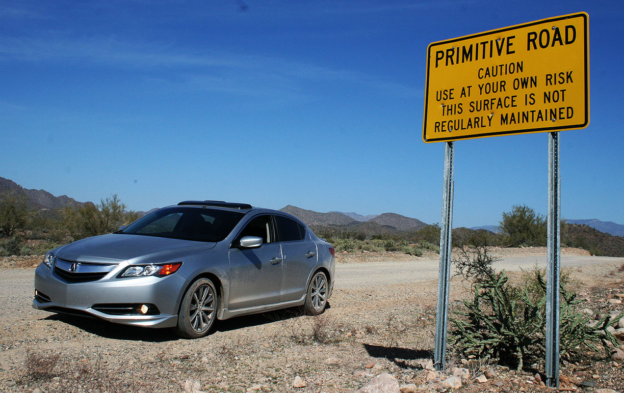
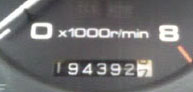
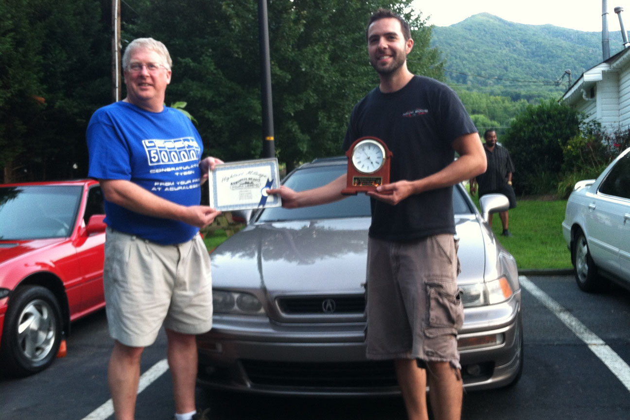
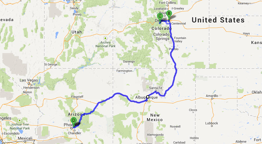
Odometer (Legend): 528,752

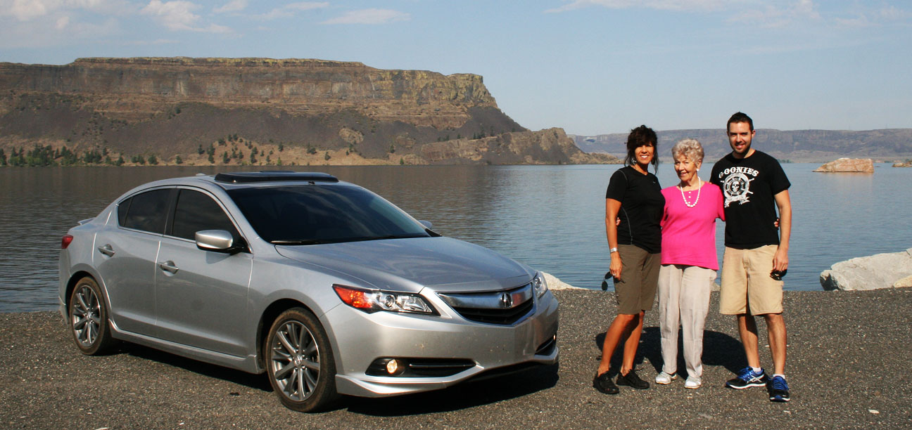
Odometer (ILX): 68,931

Trip Distance: 242 Miles

Would you get claustrophobic like me if you had to live inside an enclosed greenhouse for 2 years?
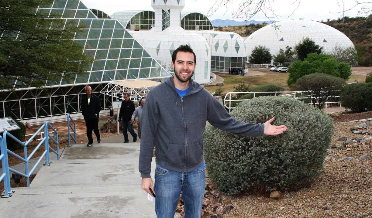
Imagine a self-contained world: a giant bubble that’s capable of supporting life as we know it. Welcome to Biosphere 2. Surprisingly few people have heard of a place in southern Arizona that 20 years ago was home to such an experiment. Now owned by the University of Arizona Science Department, Biosphere 2 is a research facility that was built as a closed ecological system – the largest of its kind. Biosphere 1, for those who are probably wondering like I was, is our own earth.
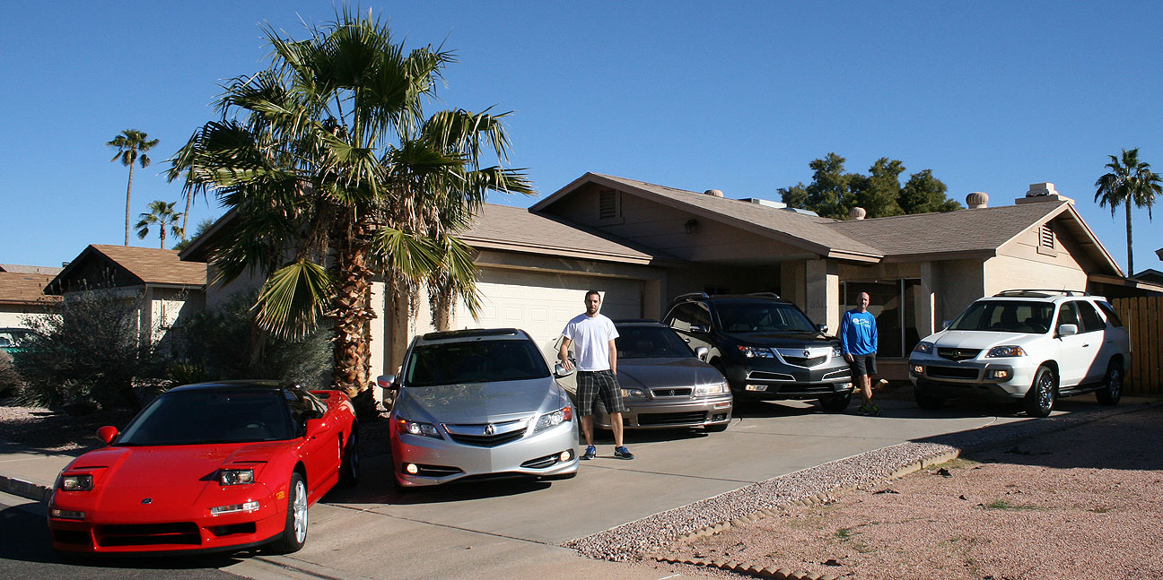
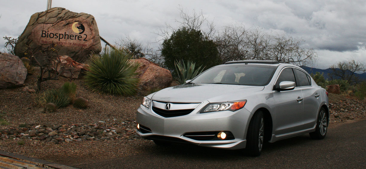
Yesterday’s outing may have been the largest I’ve organized to date. It was attended by 15 of my friends in 8 separate (and very diverse!) vehicles. After assembling at my place in Scottsdale, Arizona, we set out in the following caravan of vehicles. It made for a nice parade.
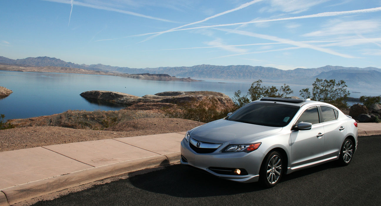
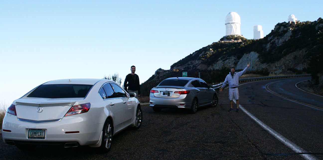
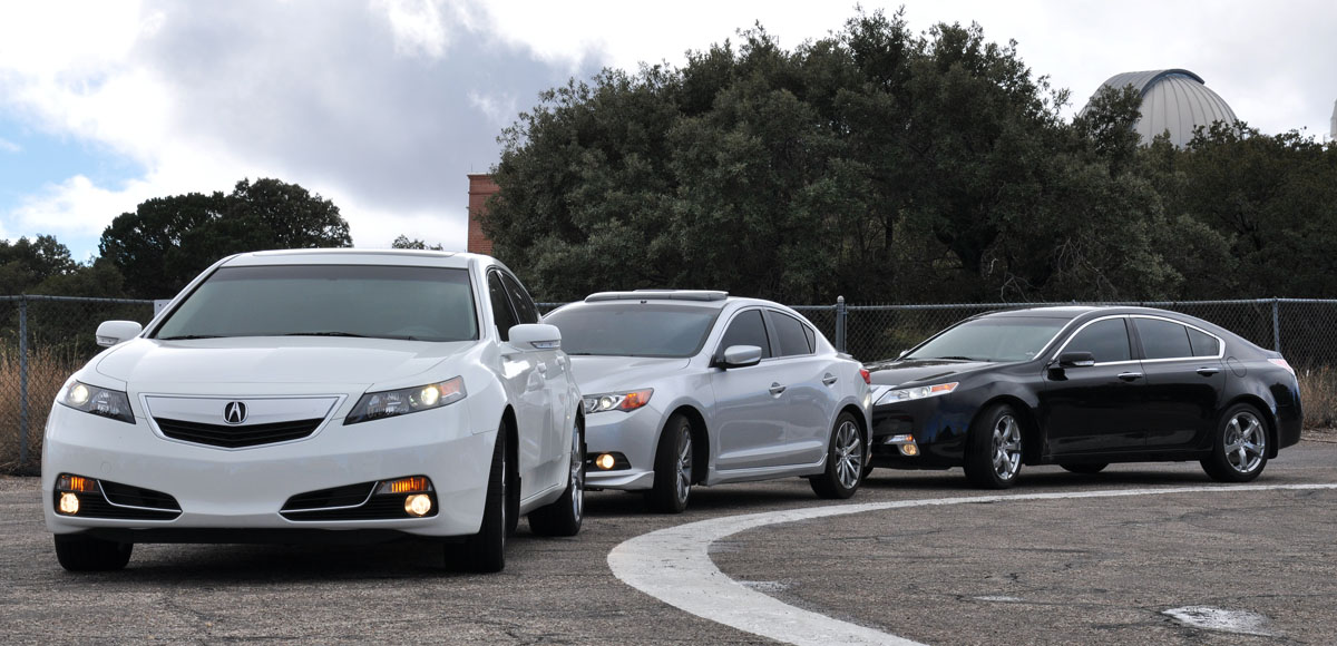
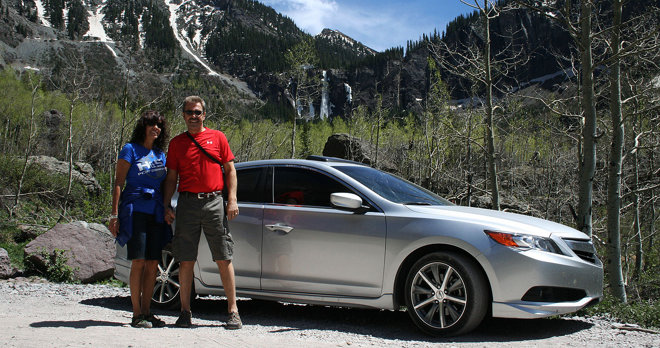
- 2013 Acura ILX
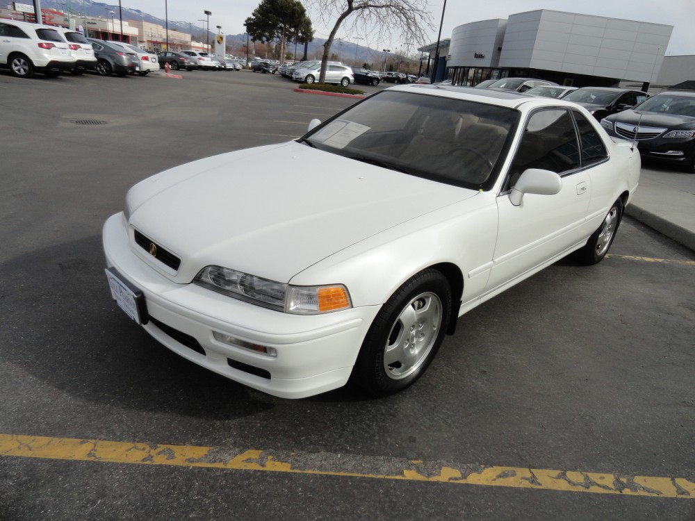
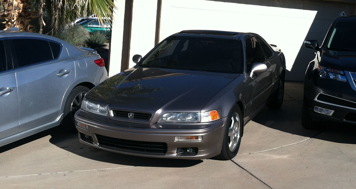
- 1995 Acura Legend
- 2013 Audi RS5
- 2013 Audi S5
- 1997 BMW 740 iL
- 2013 Cadillac SRX
- 2000 Honda Accord
- 2013 Nissan 370Z
Kevin, Edward, and Cole rode along with me in the ILX. I felt like the car actually handled better with the additional weight in there! Despite the rain and wet roads, we made pretty good time in getting to Oracle, Arizona via historic Highway 79 which led us to the southeast from the Phoenix Valley. After checking in, we were assigned to the 1:30 p.m. tour group and took a few minutes to visit the on-site cafe.

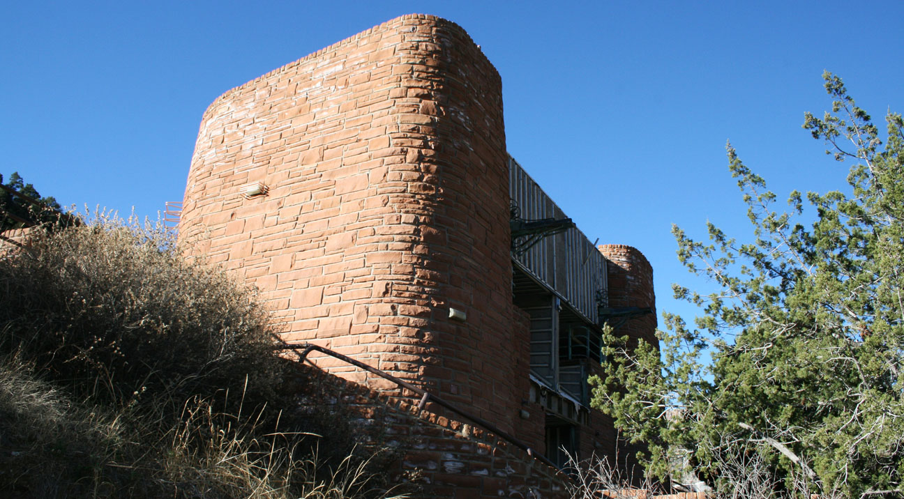
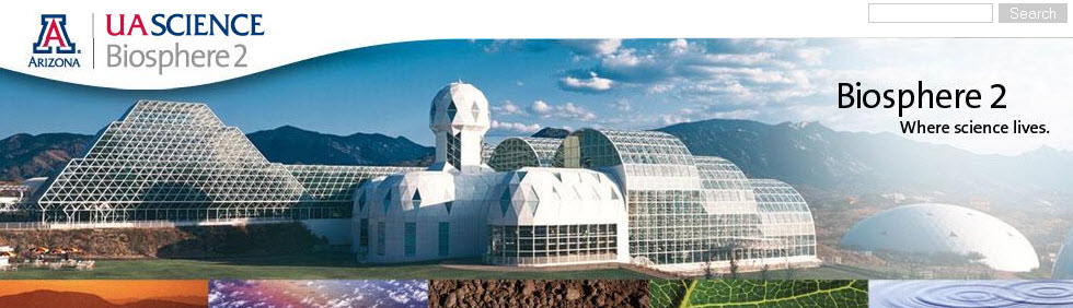
Constructed from 1987 to 1991, Biosphere 2 covers 3.14 acres. Two missions were conducted in Biosphere 2 in the 1990s. The first, from 1991 to 1993, and the second from March 1994 through September 1994. Biosphere contains 5 different indoor biomes: Desert, Savanna, Rainforest, Ocean, and Marsh. During our 90-minute tour, we were shown through each of these by our guide, Ren.
Ren told us there there was a division among the 8 “Biospherians” who participated in the first mission which lasted two years. Four of them wanted to allow the import of outside food & materials so that they could focus more on conducting science experiments and less on just trying to survive. The other four wanted to stay true to the design of the experiment and be entirely self-sufficient. The rift escalated. Along with that, heightened levels of CO2 were taking their toll on everyone’s critical thinking skills, and a change in climate in some of the biomes (increasing moisture in the desert, for example), caused an overrun of insects. Finally, the caloric intake was low so the diet wasn’t very good. Some of these challenges are what drove that mission to its end.
Today, Biosphere 2 is a research facility used to study ecosystem processes under controlled conditions. The University of Arizona operates it with the intent of better understanding how natural environments generate conditions that are suitable for life. The overall goal is to improve the quality of life for us. I found the tour educational and interesting. After filling our brains with science, we hopped into our cars and traveled 9 miles to the Oracle Inn Steakhouse to fill our stomachs with some of the best grub in central Arizona. Our last stretch of road took us up Highway 77 to Highway 177 to the old mining town of Superior.
Cole took DJ duties for most of our two-hour trip back to the Phoenix area, and we rocked out to slow jams like the classic 1997 K-Ci & JoJo hit, “All My Life.” The ILX 7-speaker Premium Audio System was put to its limit while we sang along. Many thanks to all my friends who joined on this adventure, in person or through the blog!
Below are all the pictures and a short video that I hope you’ll enjoy.
Pre-departure and my driveway/street started looking like a used car lot with more than a dozen cars parked all over the place.

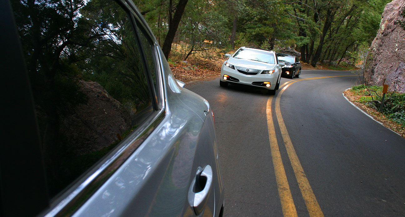
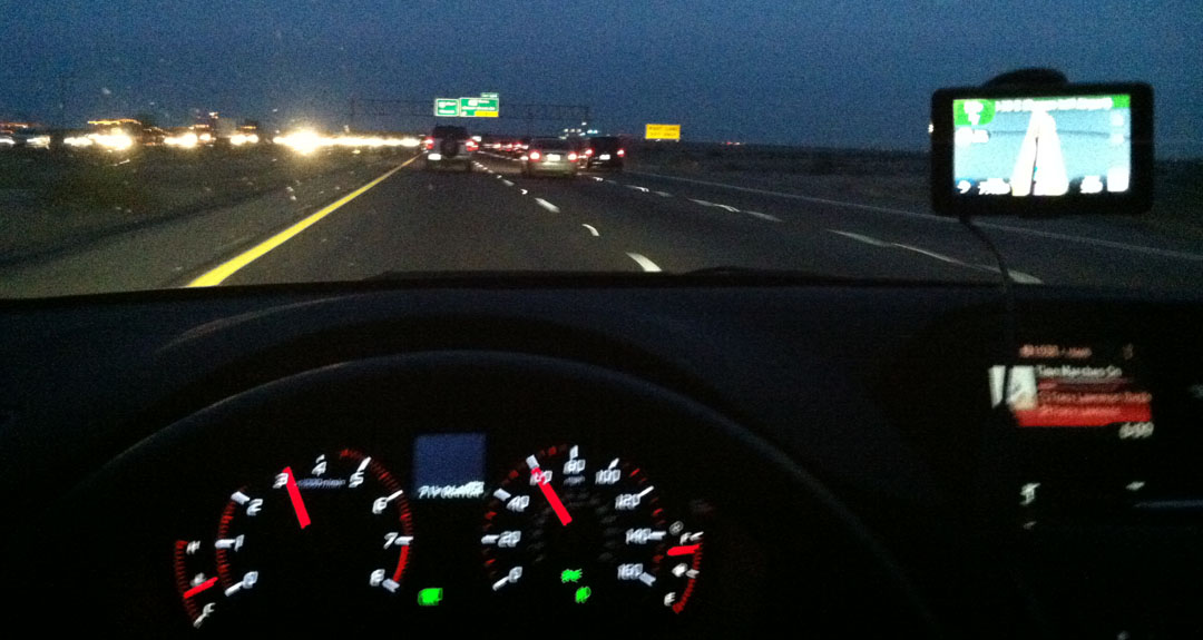
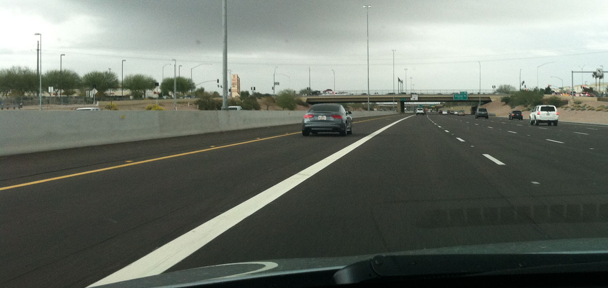
Eastbound US 60, in hot pursuit of Aaron in the S5.
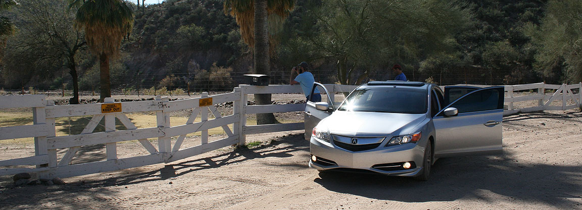
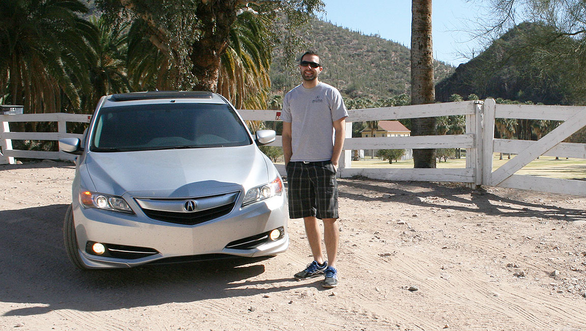
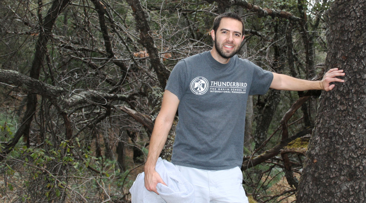
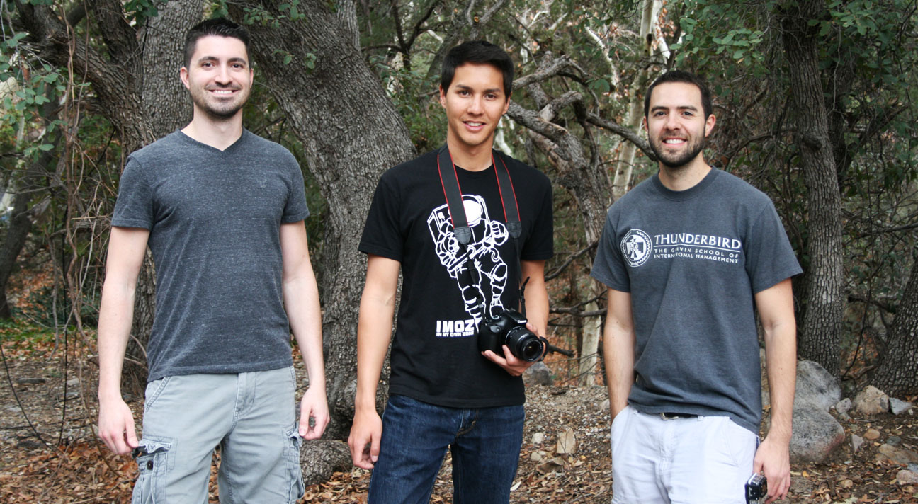
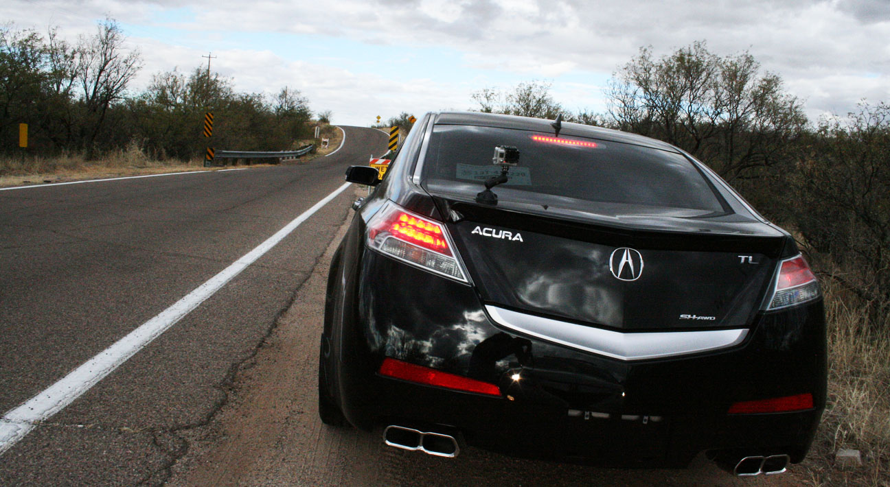
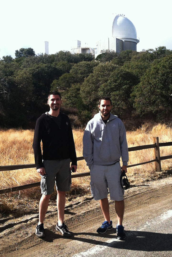
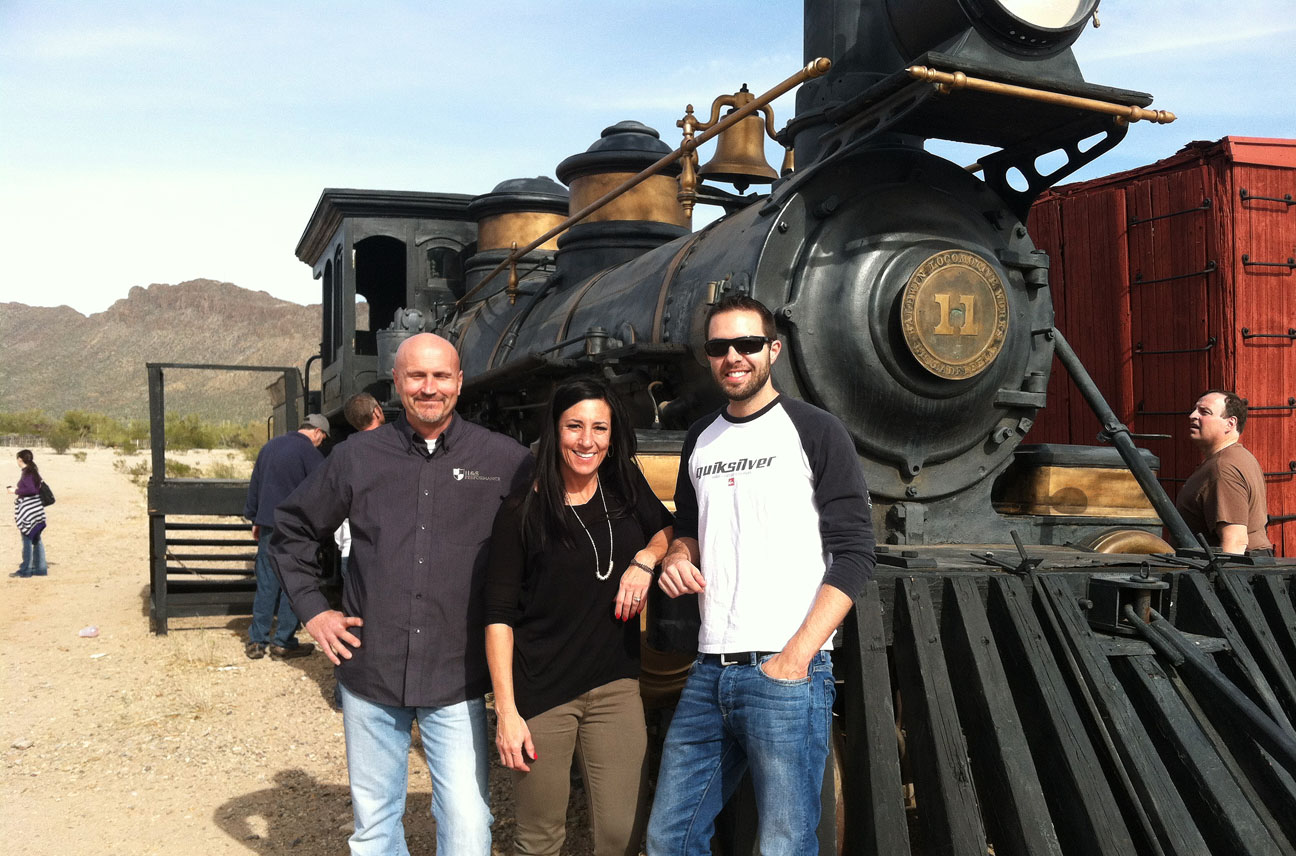
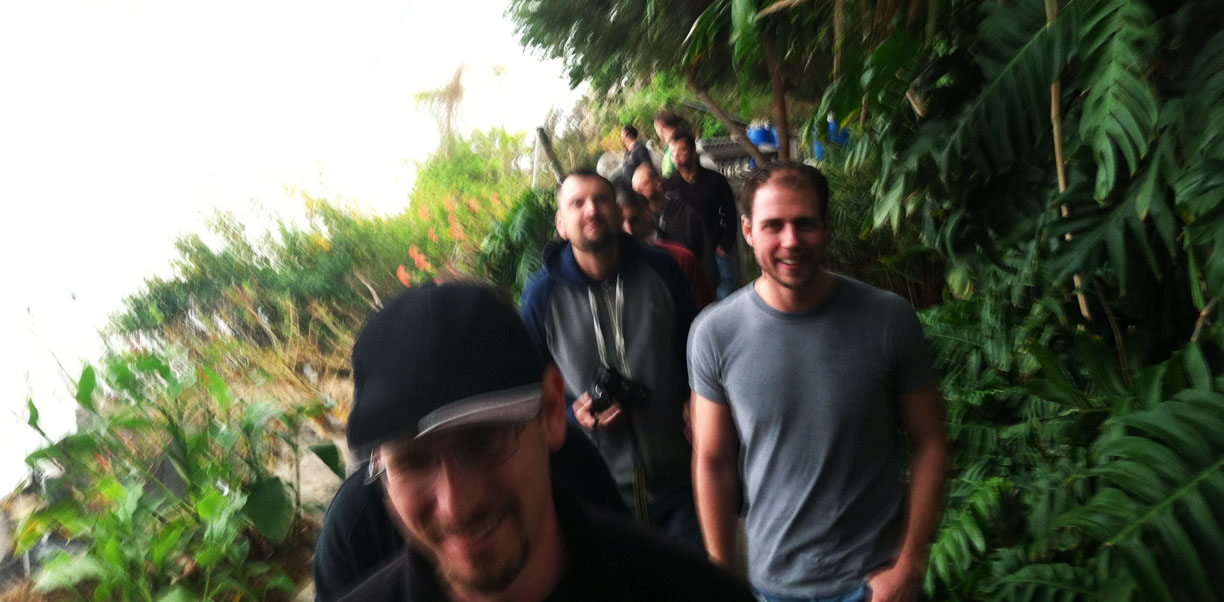
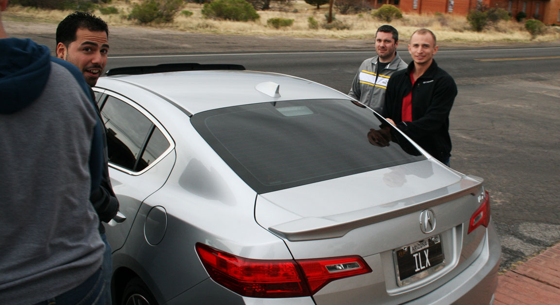
My crew in the ILX: Kevin, Cole, Edward

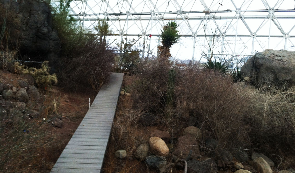
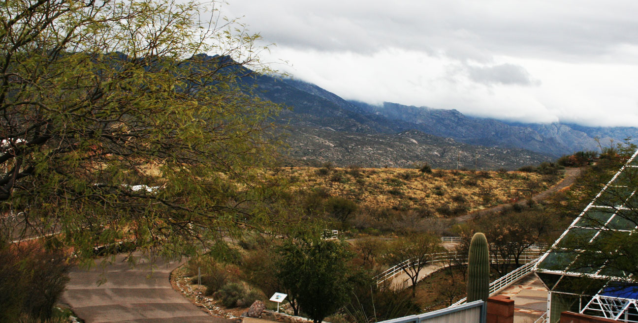
Upon arrival in Oracle, the rains held up long enough for us to enjoy our tour without getting too wet.
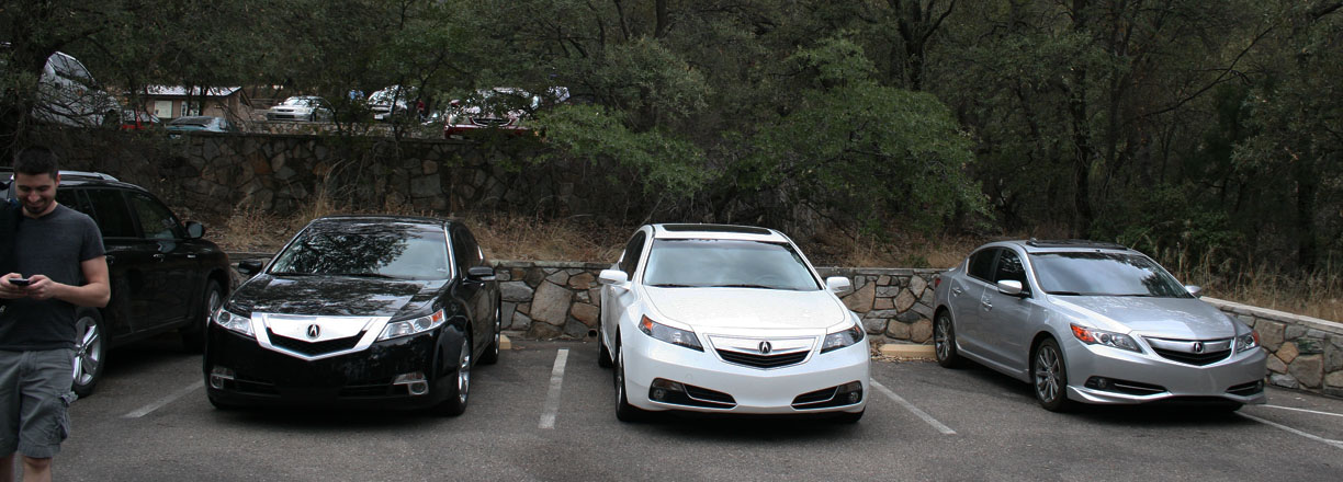
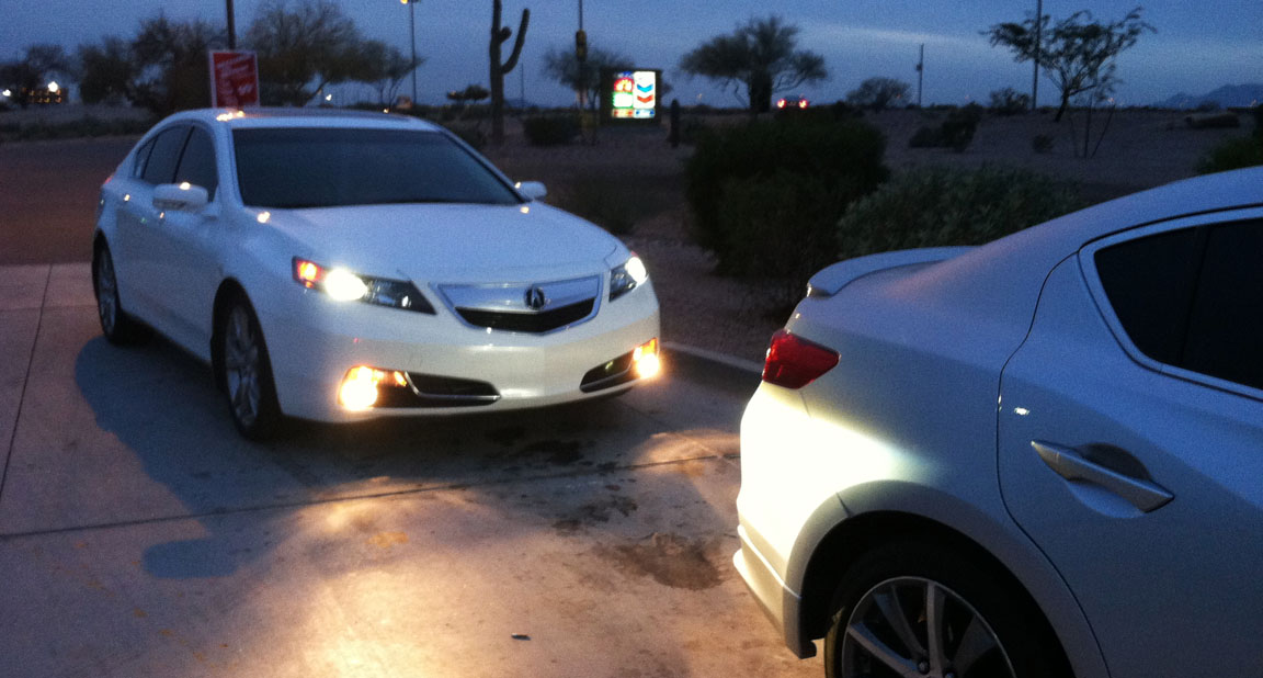
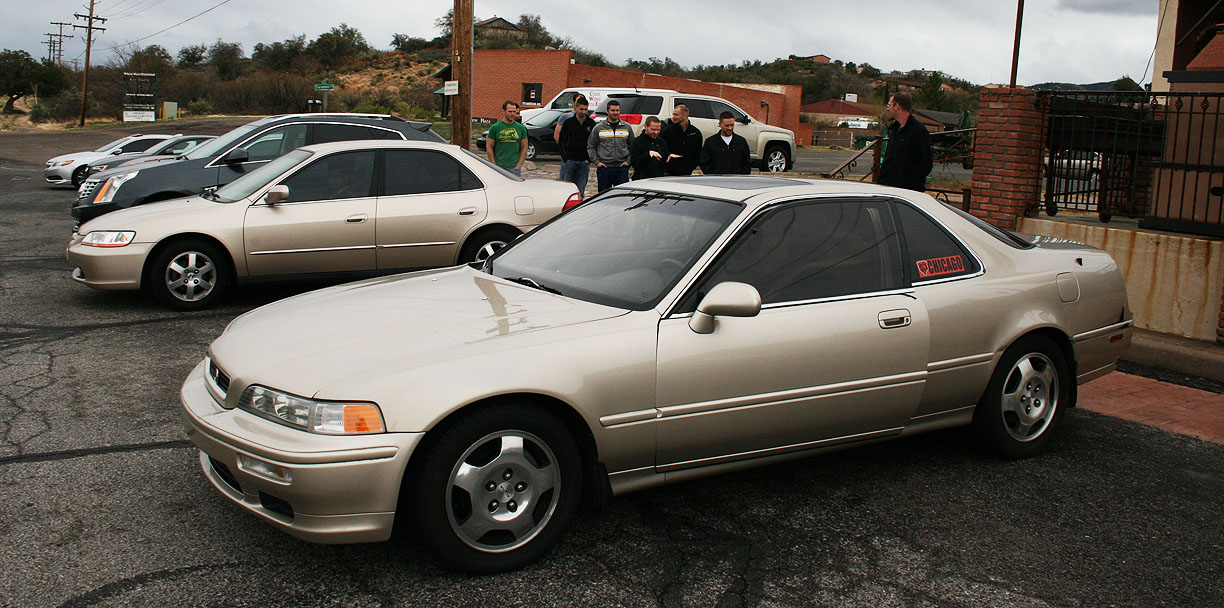
Oddball fleet of cars. Michael’s BMW, at over 280,000 miles, was the mileage king. Also, apparently Joe didn’t get the memo about needing to back his Legend in for the photoshoot.

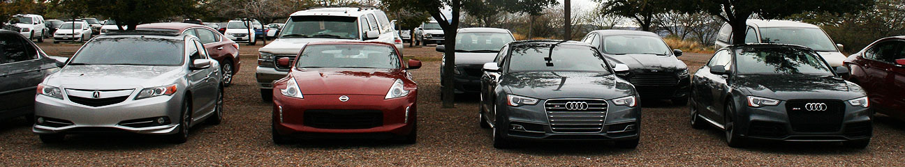
Sexy hind ends.

ILX, Z, and a couple of Audis that have way more horsepower than they know what to do with.
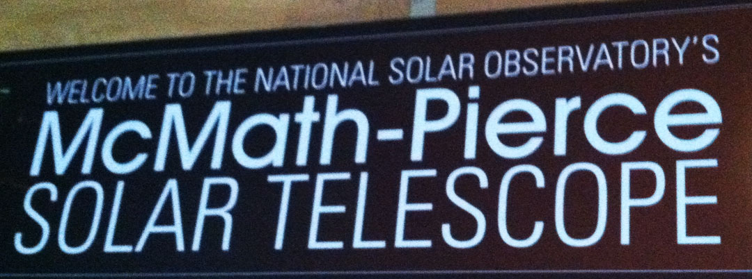
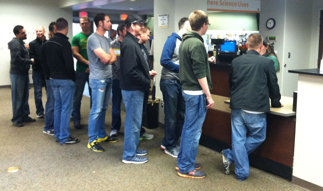
Checking into the Visitor Center. Student tickets were $15 ea.

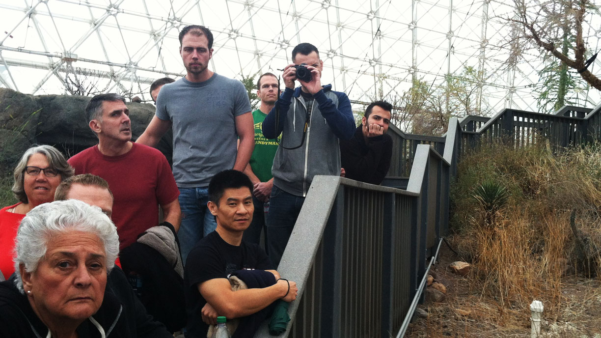
I think we may have overwhelmed the staff with our large group.
We were shown a 12-minute video before being introduced to our tour guide and heading into the facility.

Ren, our guide, used a portable mic and told us all the details about the facility and its operations.

The ocean, pictured far in the distance below, is 26 feet deep and holds 670,000 gallons of water.

Adjacent to that, we walked through a plastic curtain and into the biome known as the rainforest.
The rainforest has a waterfall and over 90 different plant species. We could readily feel the difference in humidity as we entered this area.

Next we went through a mangrove forest and down into the desert. Ren told us about the large “air handlers” that regulate the flow of air into this part of the Biosphere. They are disguised to look like caves.
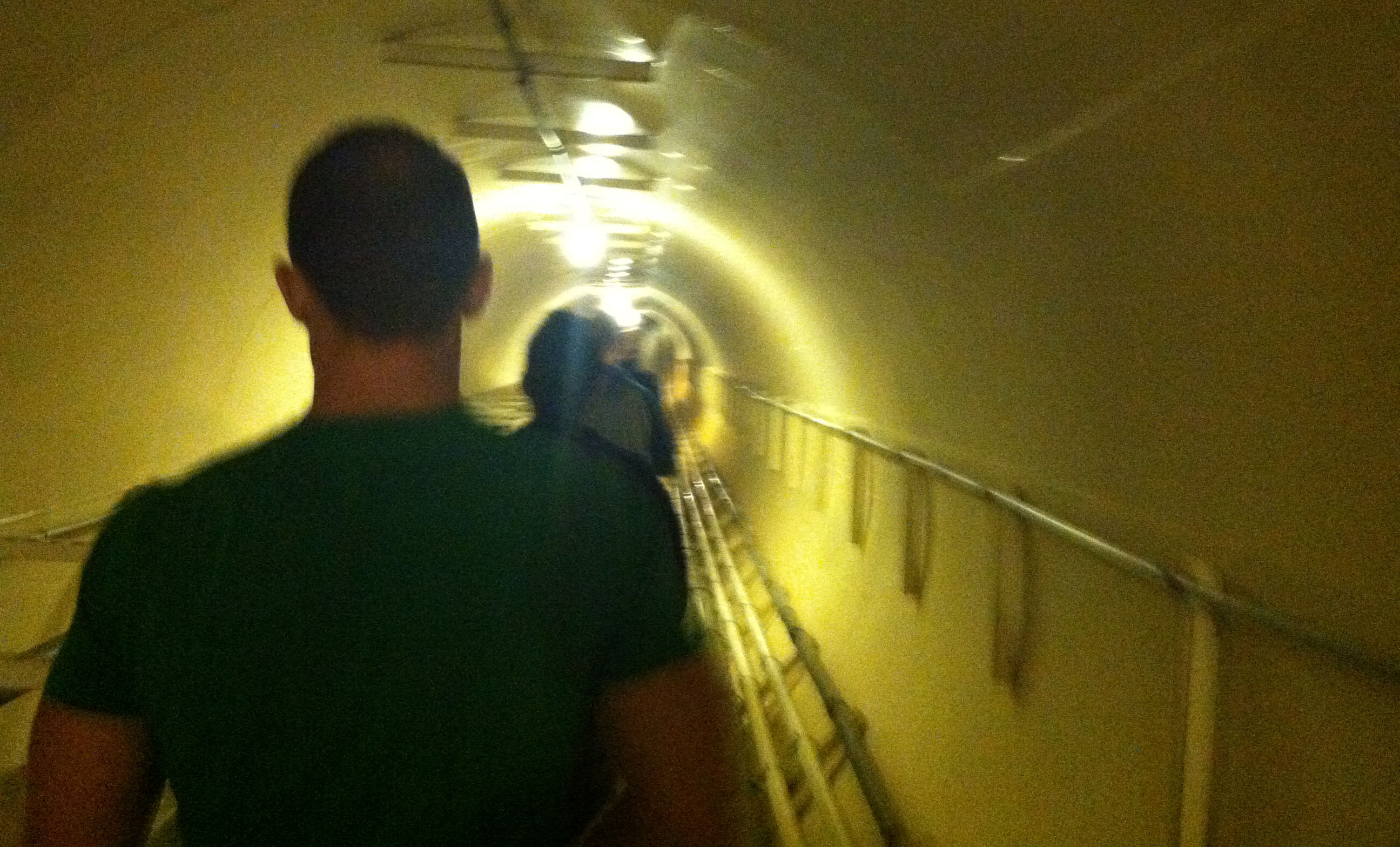
Our next stop was the basement.

My favorite part was when we walked through this tunnel that seemed to get smaller and smaller as we walked onward. Someone commented that it felt like a scene from “Charlie and the Chocolate Factory.”
Soon, we had to duck and watch our heads as we went through a triangle shaped opening.

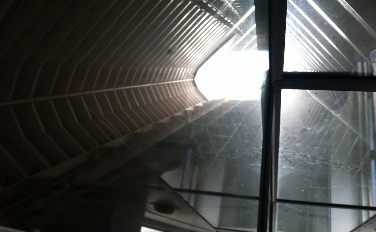
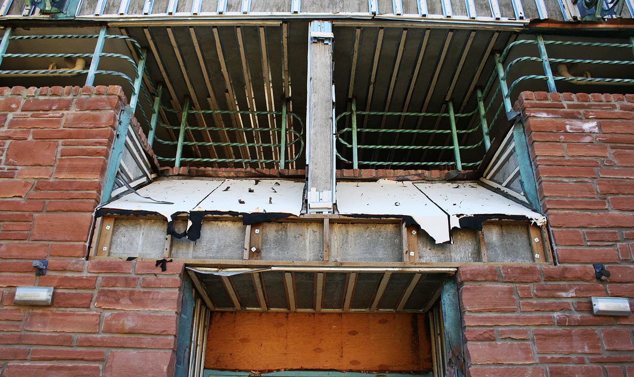
Here we are arriving inside one of two “lungs” in the facility. These are air-volume control devices. There is a 20+ ton metal saucer in the middle of the room, connected to the surrounding walls by a rubber curved ceiling. The entire ceiling can move up and down to regulate the volume of air within Biosphere.

It felt like a scene from outer space.
To get to the outside world from there, we had to pass through two “air lock” doors. Each time, a huge gust of wind would hit us in the face as the pressure inside the Biosphere started regulating with the pressure from outside.

A few more instructions and then we continued back inside.

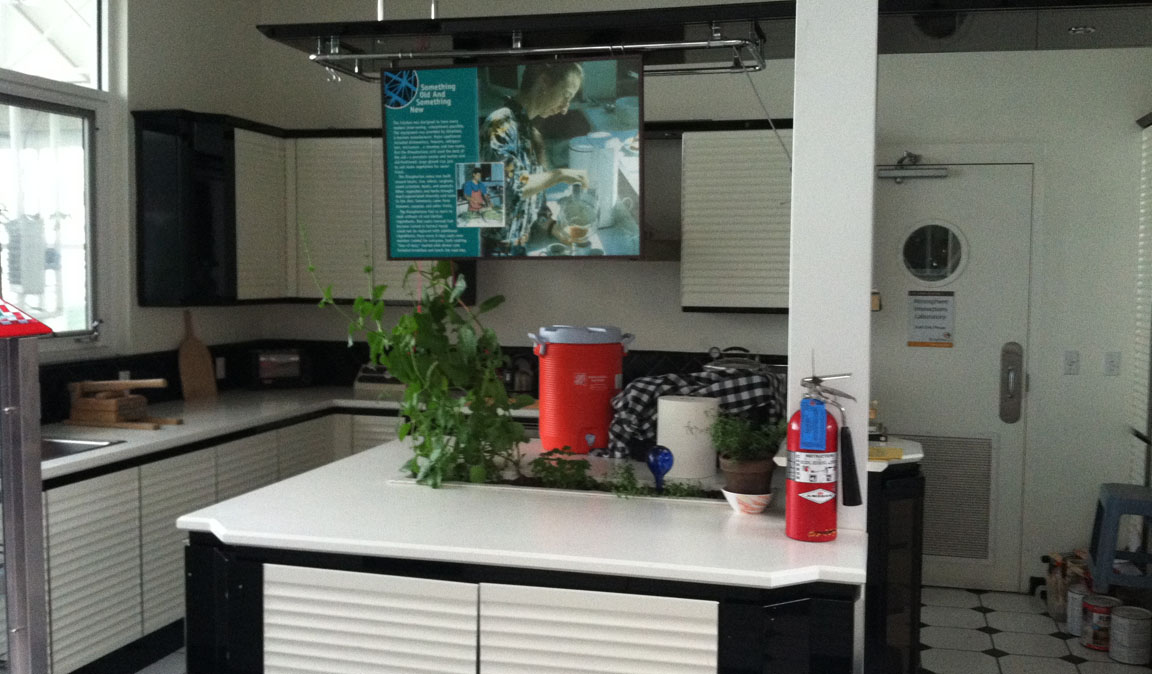
Here is the kitchen where the Biospherians prepared their meals. Ren told us they would only eat meat once a week.
This is a look inside one of the bedrooms.

Next up: Lunch in Oracle

Michael’s 740 was looking great.

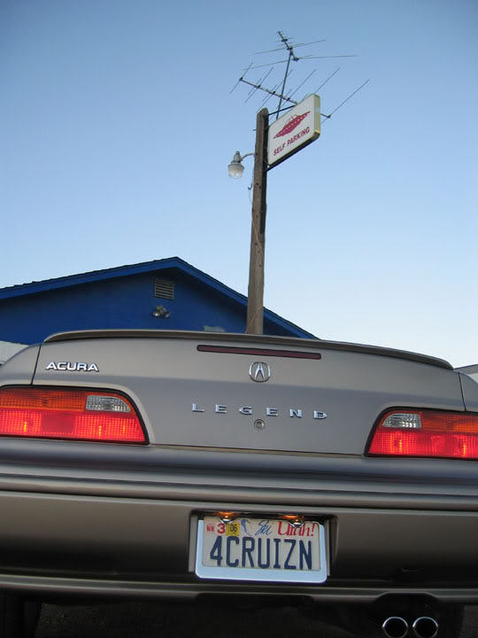
Joe’s Cashmere Silver Metallic Legend Type II has over 160,000 miles on it.
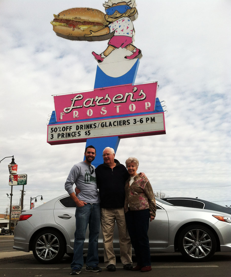
Woody made a friend at the Oracle Inn.

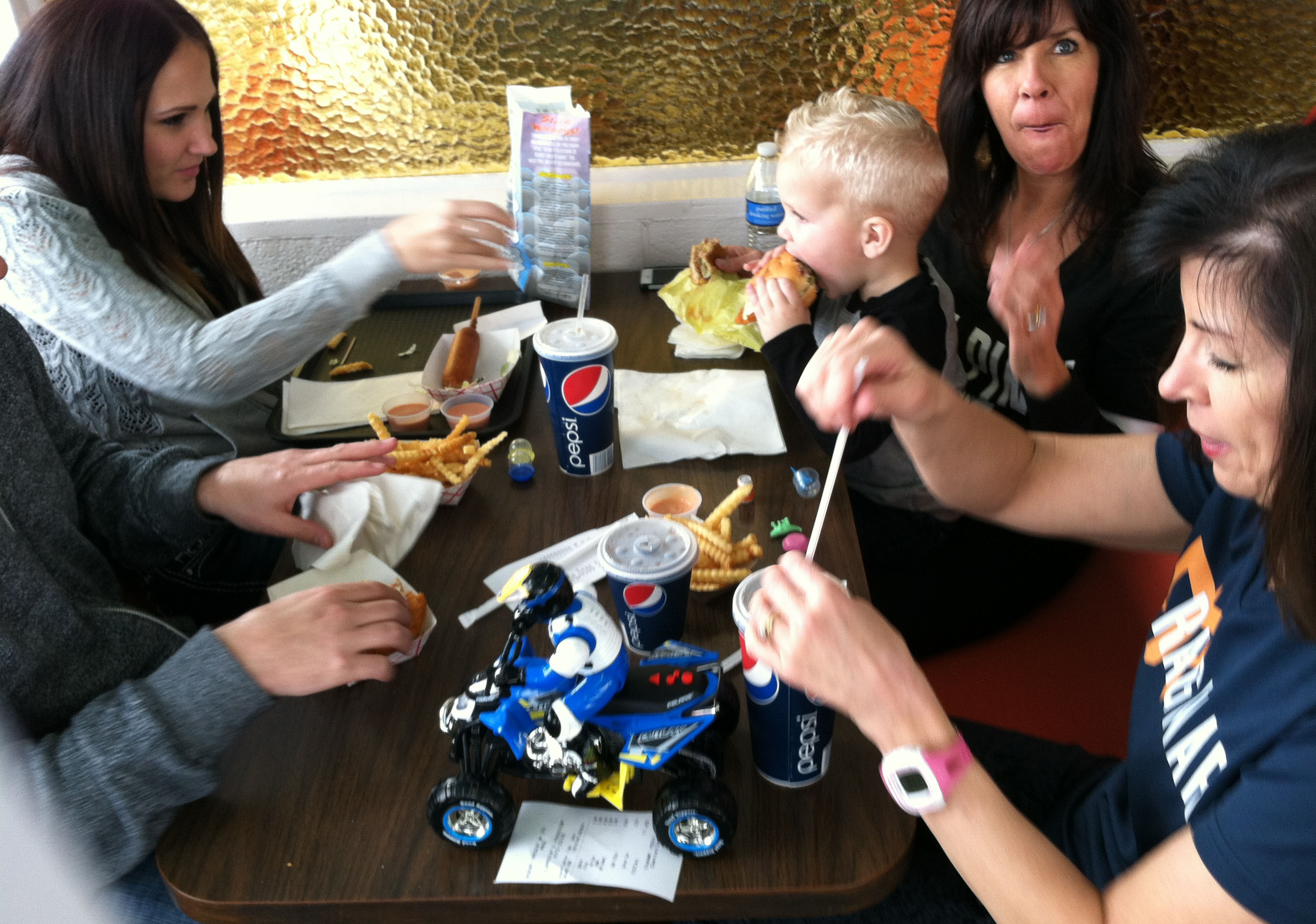
Lunch is served.

Group photo-op at the Oracle Inn before heading out again.
- Tyson, Paul, Michael, Woody
- Joe, Cole, Aaron, Kevin
- Jim, Edward, Kelvin, Chad, Kevin
- Alan, Matt, Brad

Let’s roll!

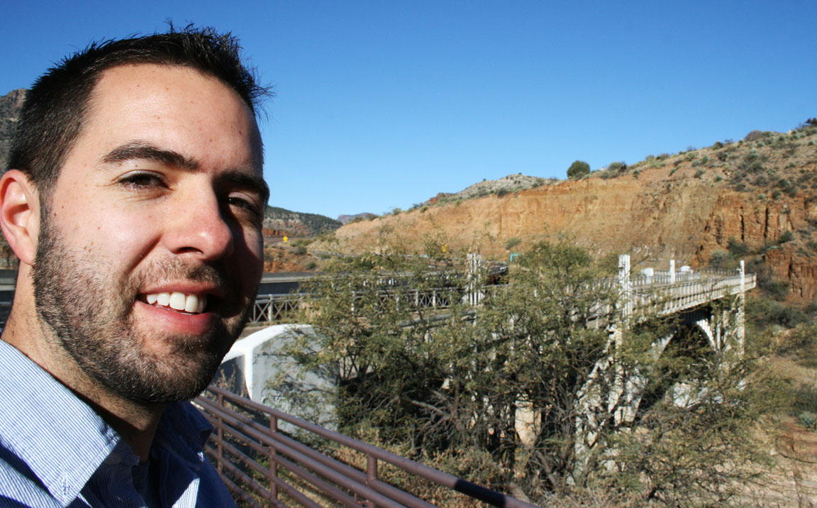
Everyone taking their seats in the ILX for the drive to Winkelman on Highway 77.
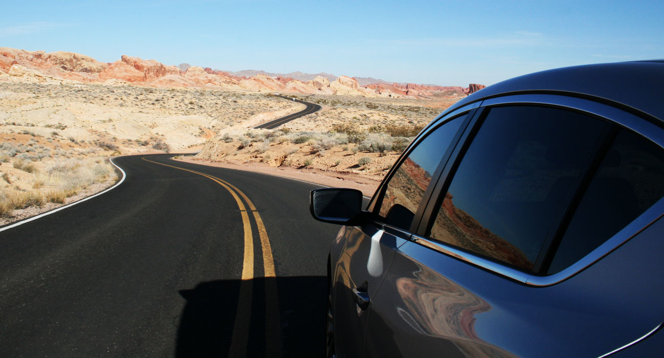
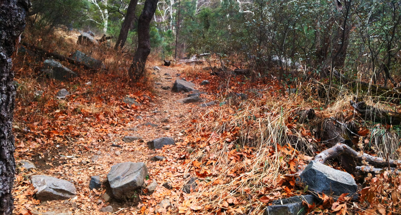
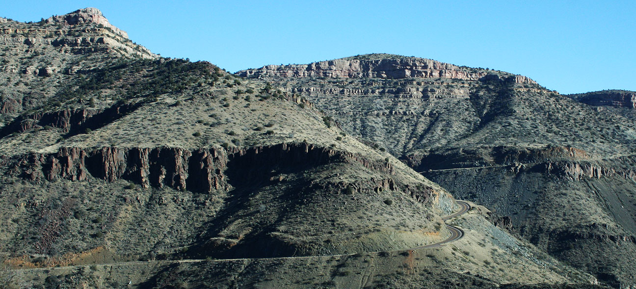
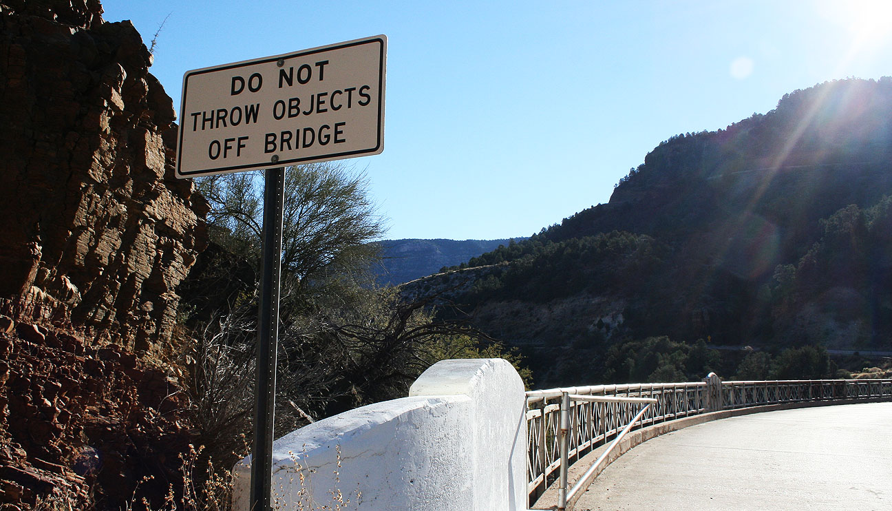
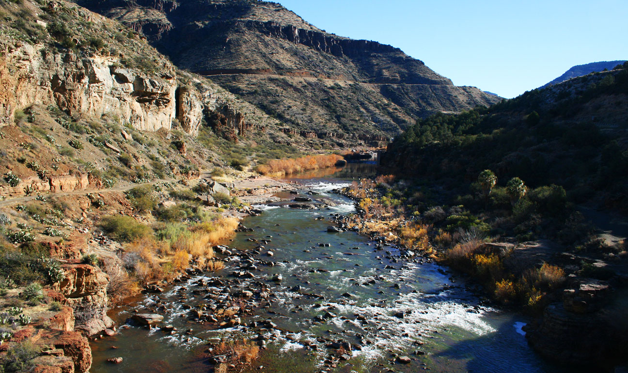
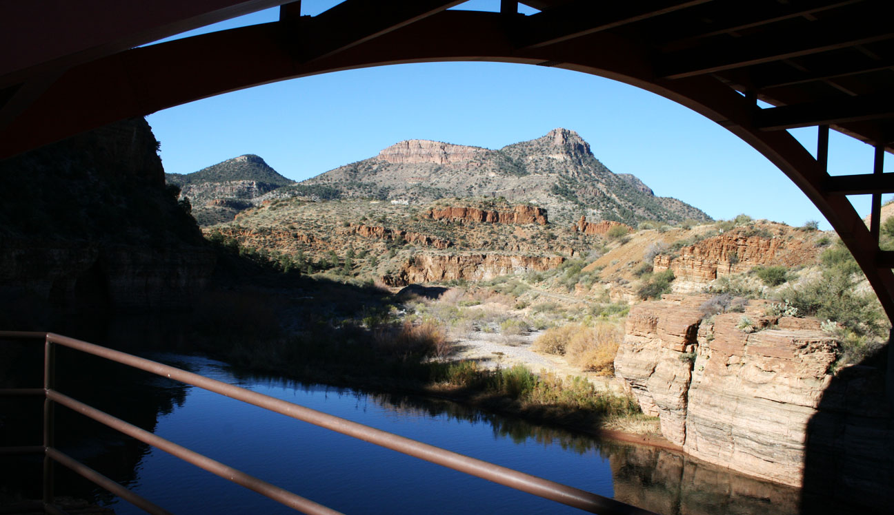
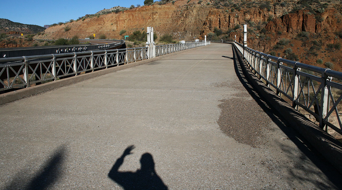
This was my favorite stretch of the day’s drive by far.
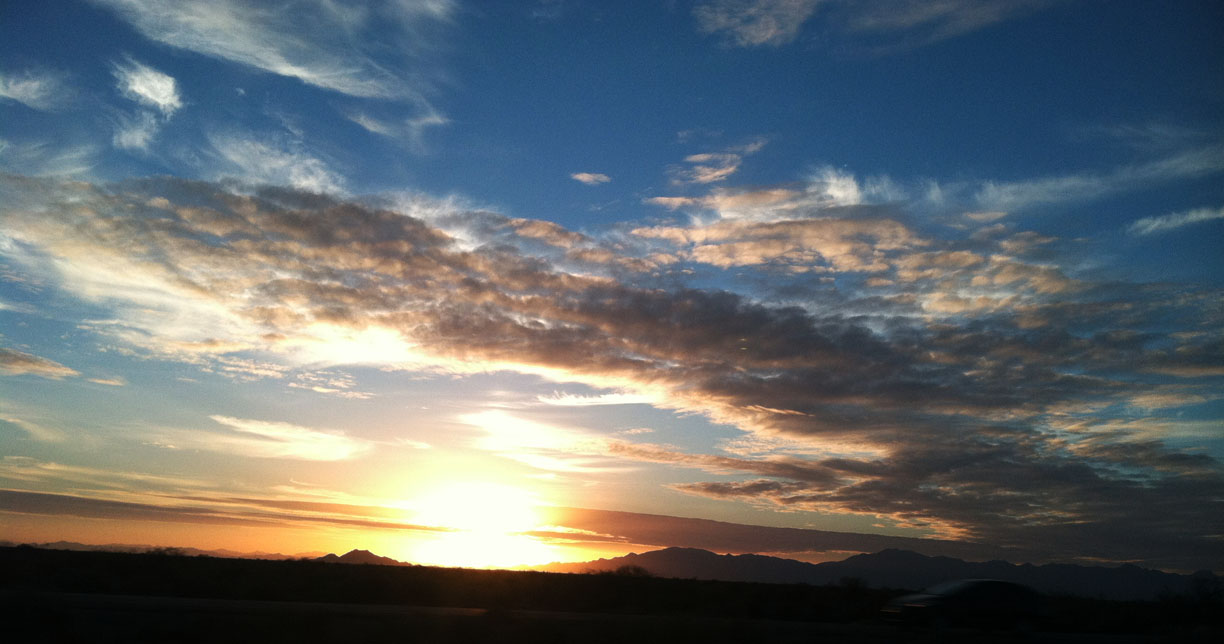
Sunset made for some nice lighting as we headed up the two-laner.

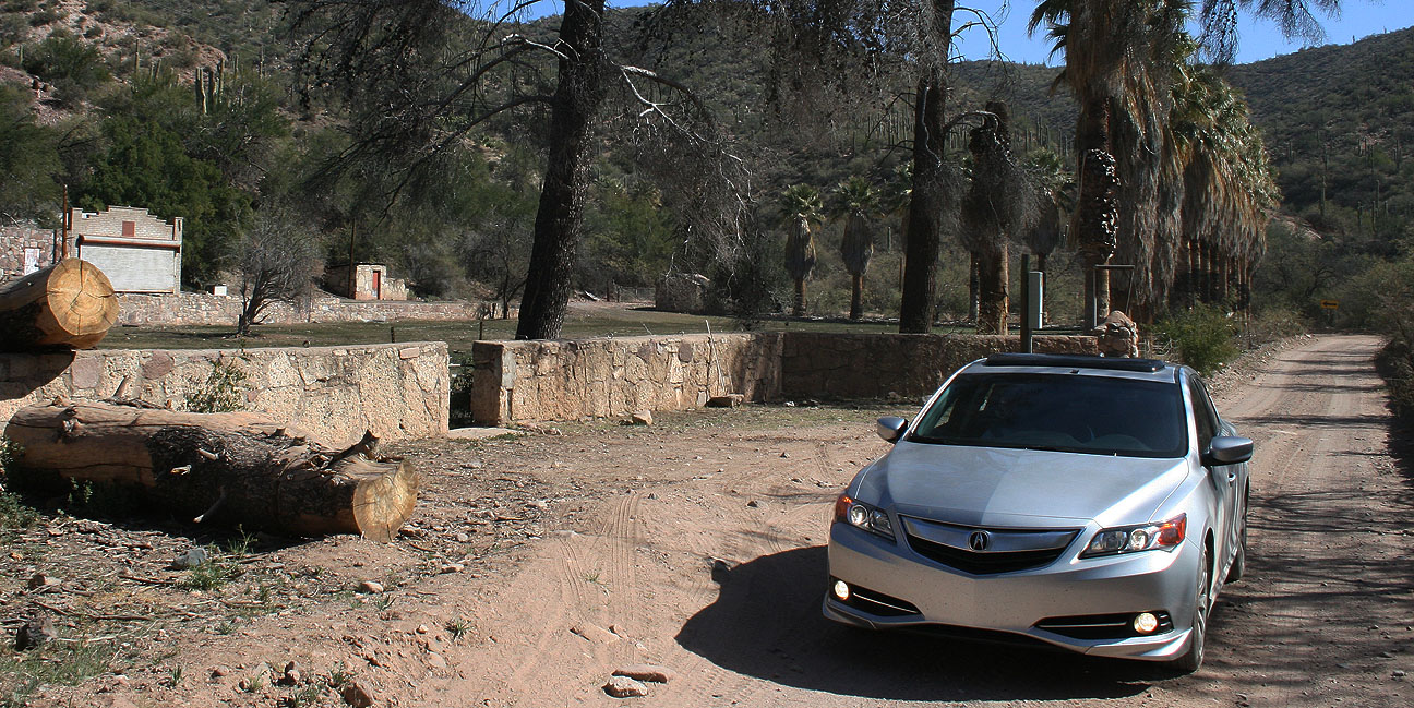
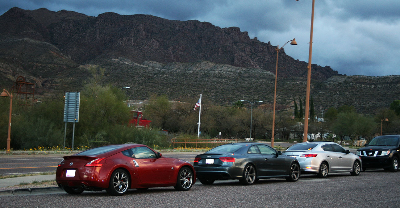
Rest area in Superior, Arizona with the Z, the RS5, and the ILX
In we went for the final stretch.