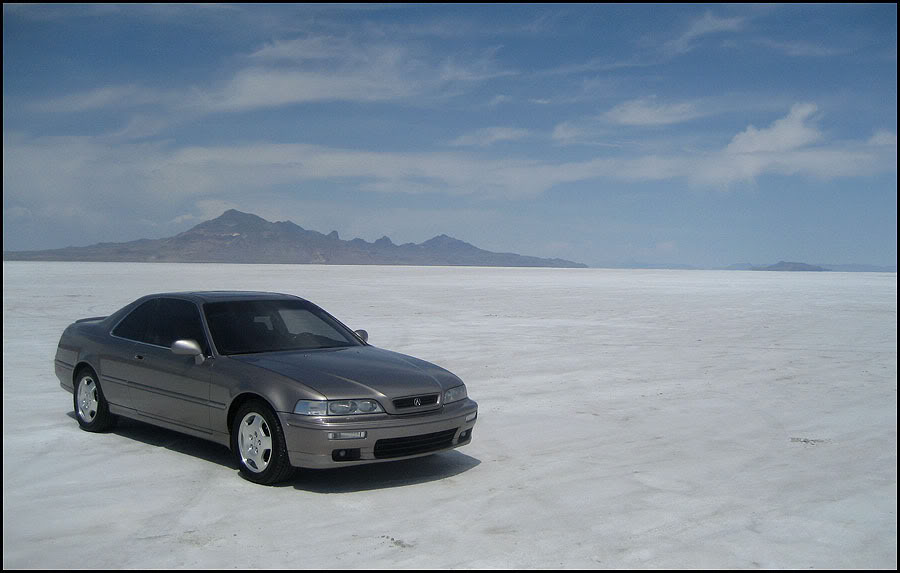
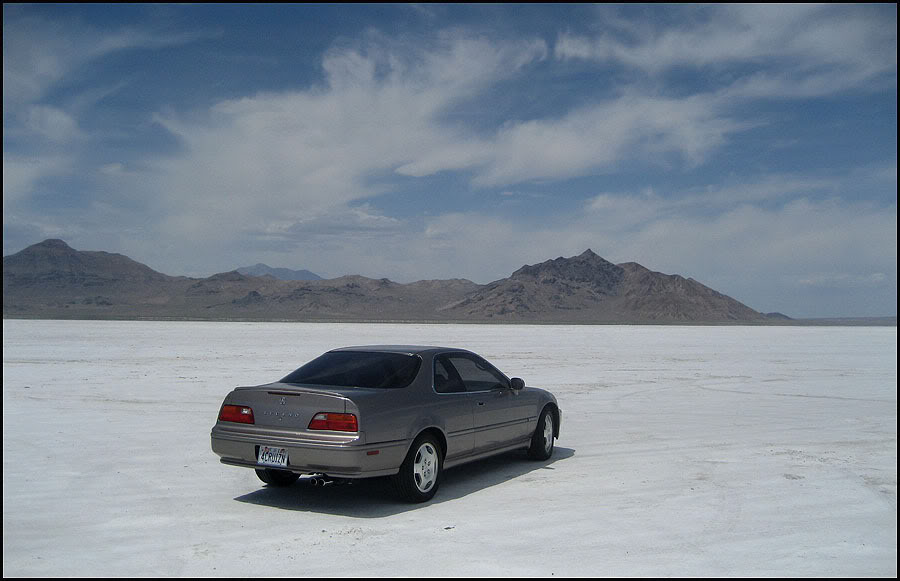
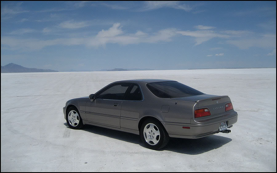
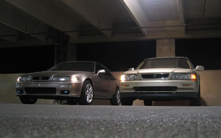
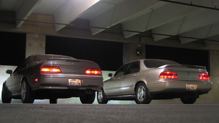
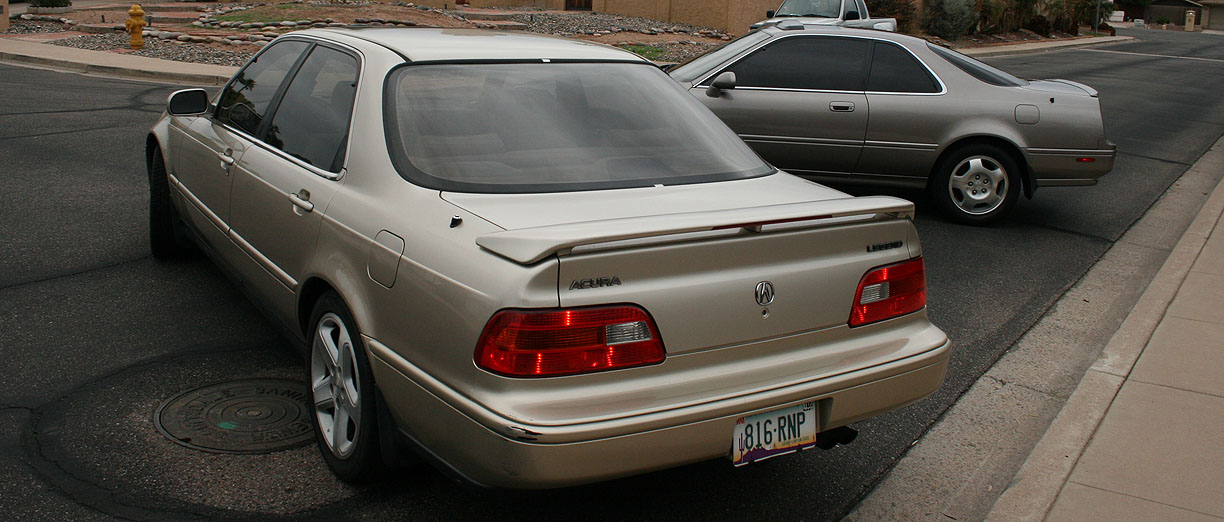
Odometer (Legend): 519,826

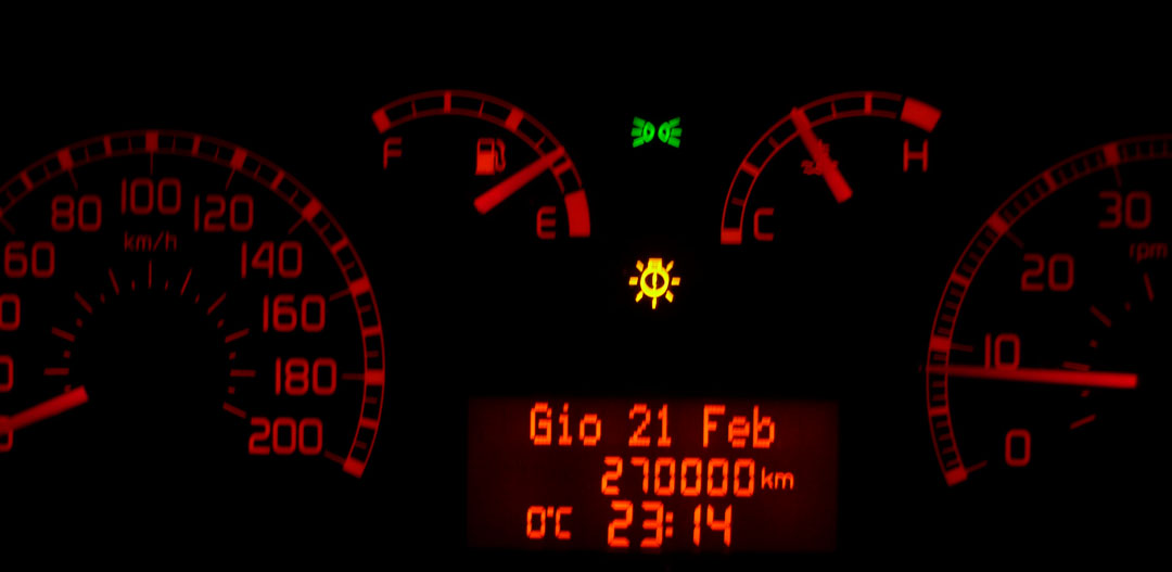
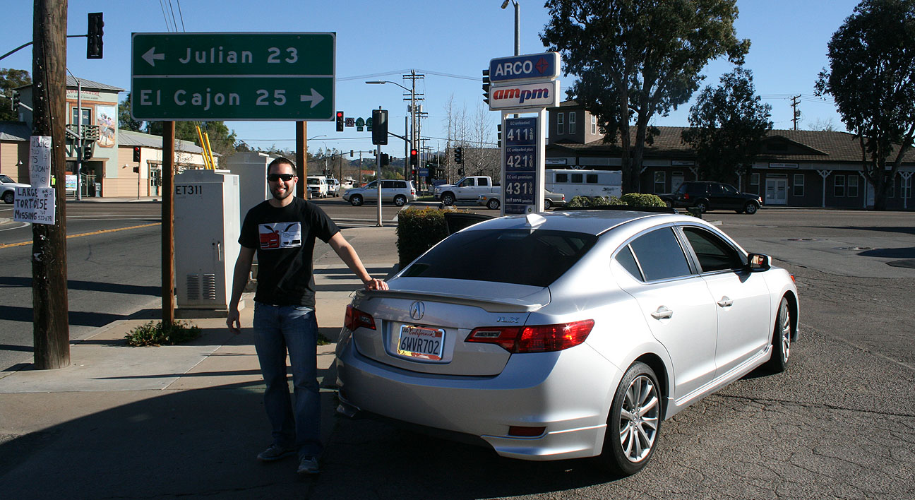
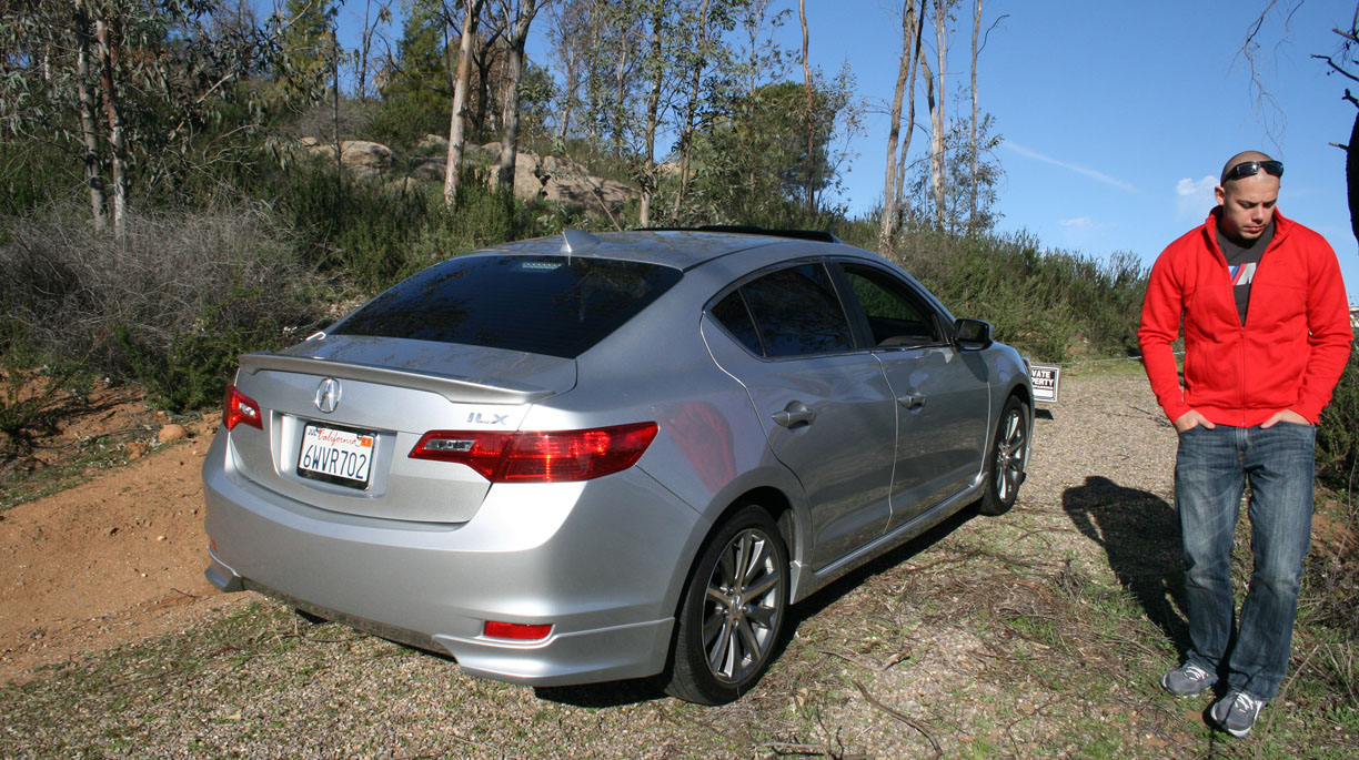
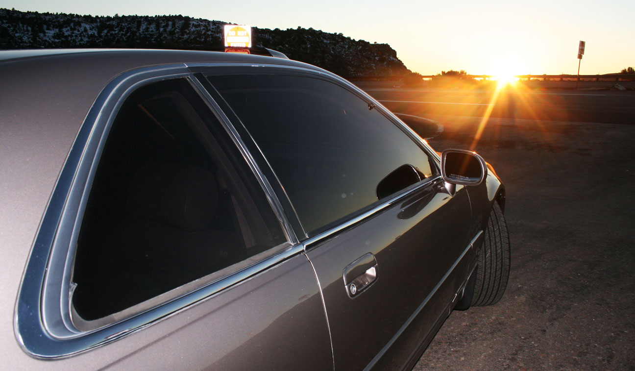
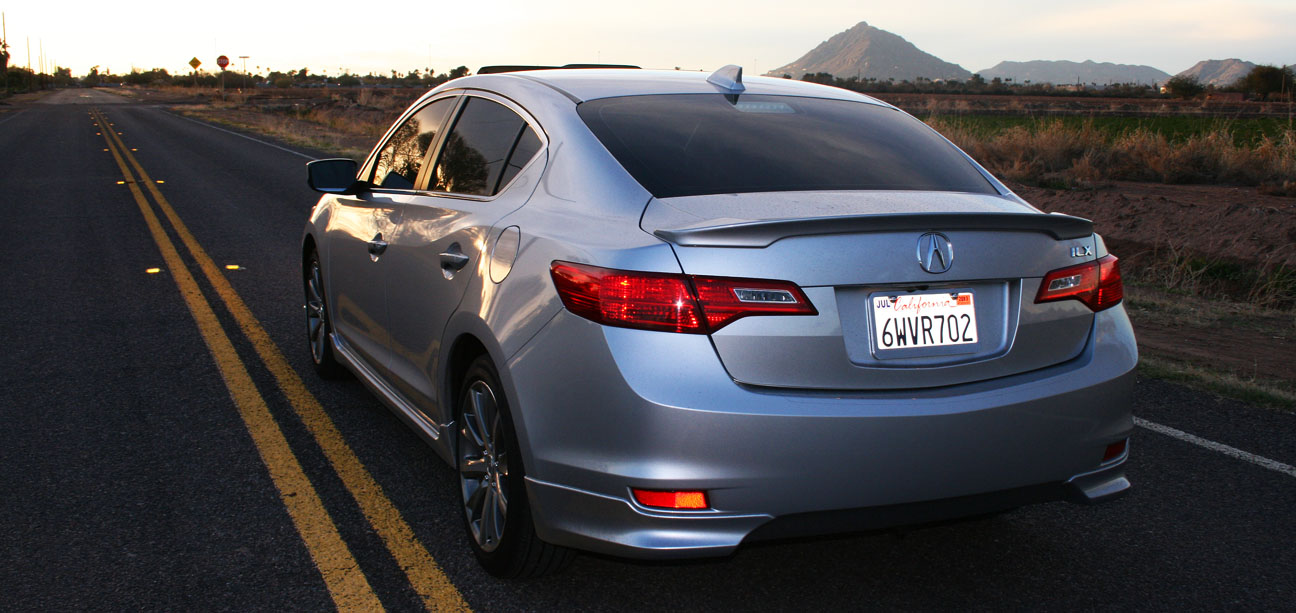
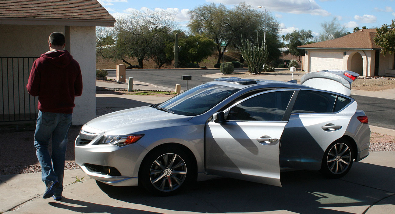
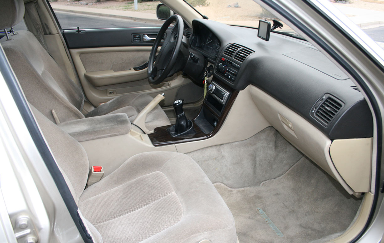
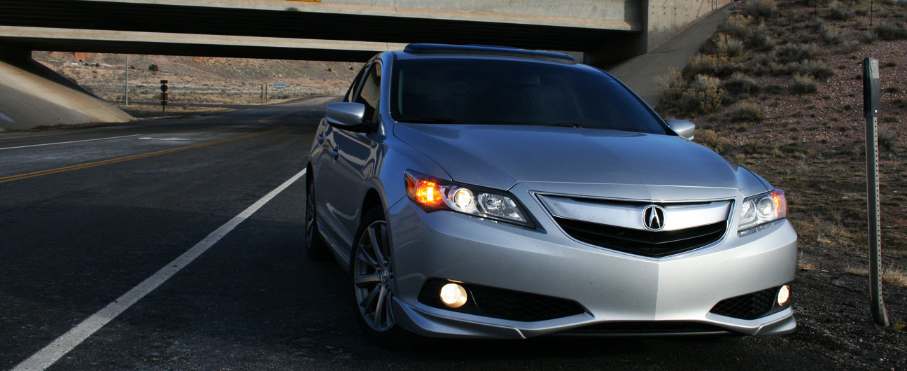
Odometer (ILX): 29,917


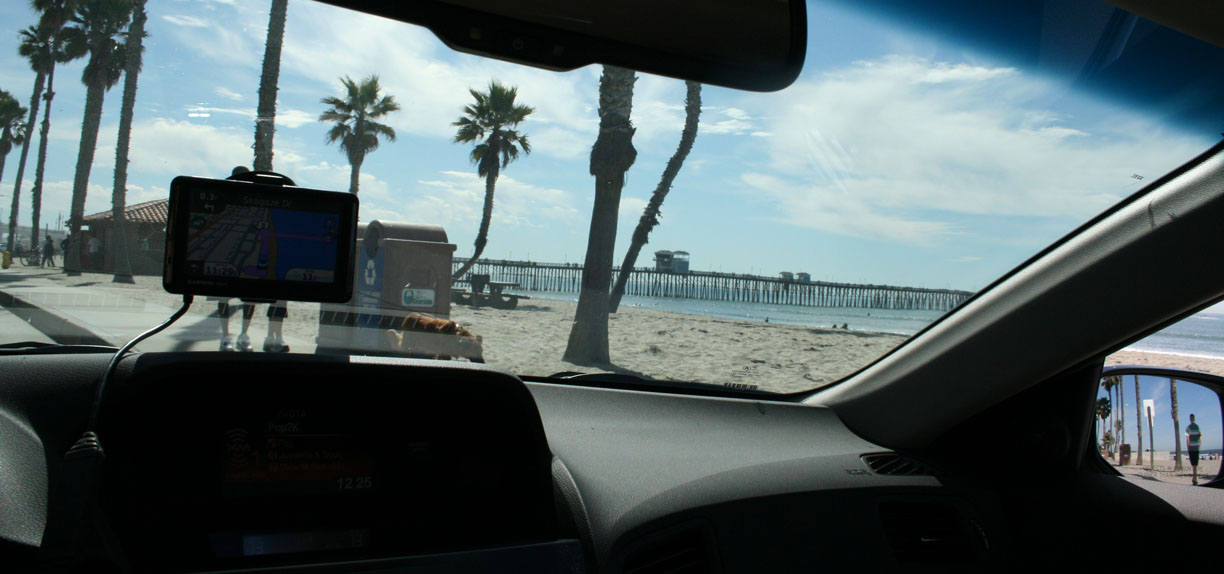
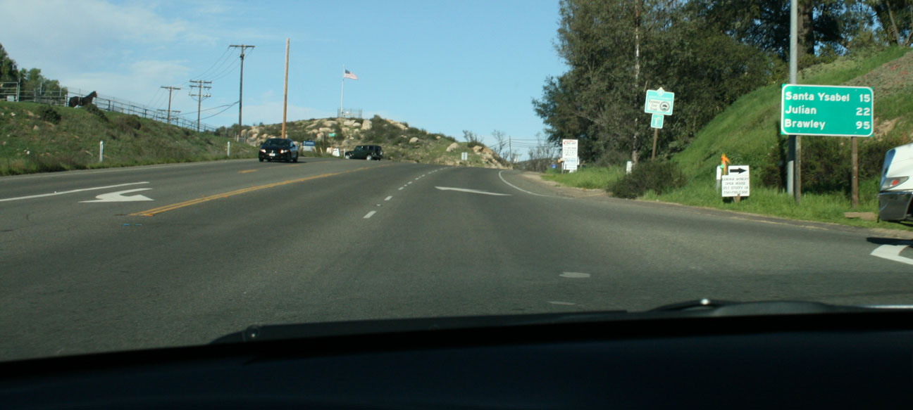
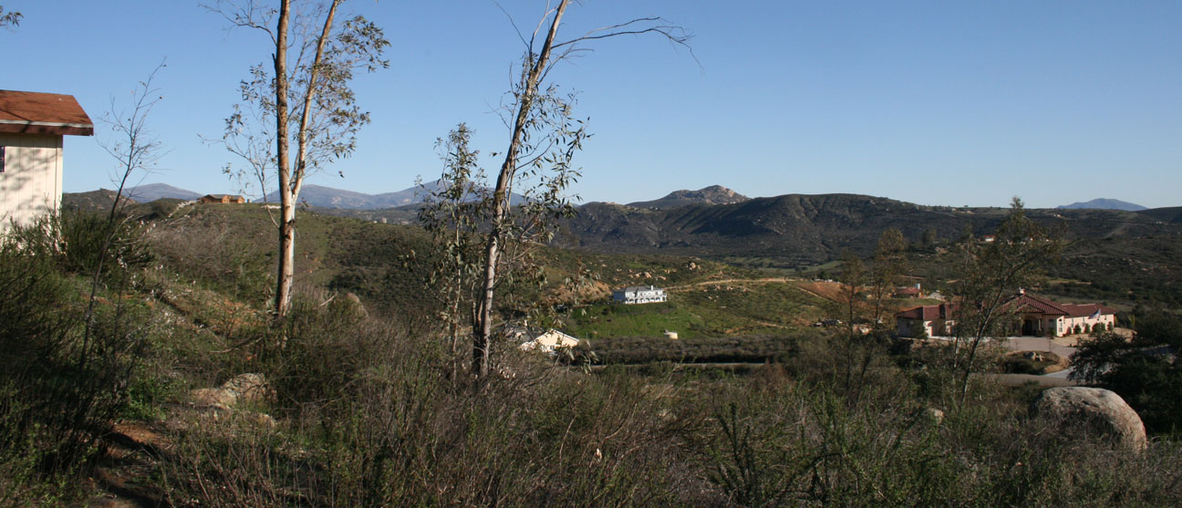
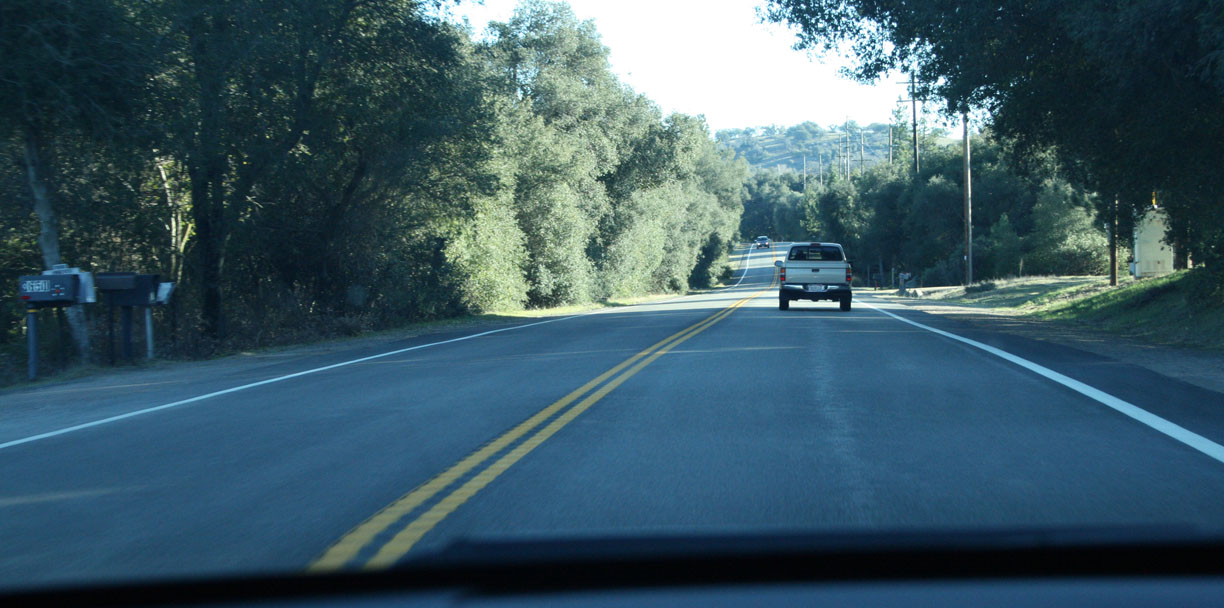
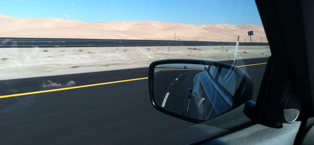
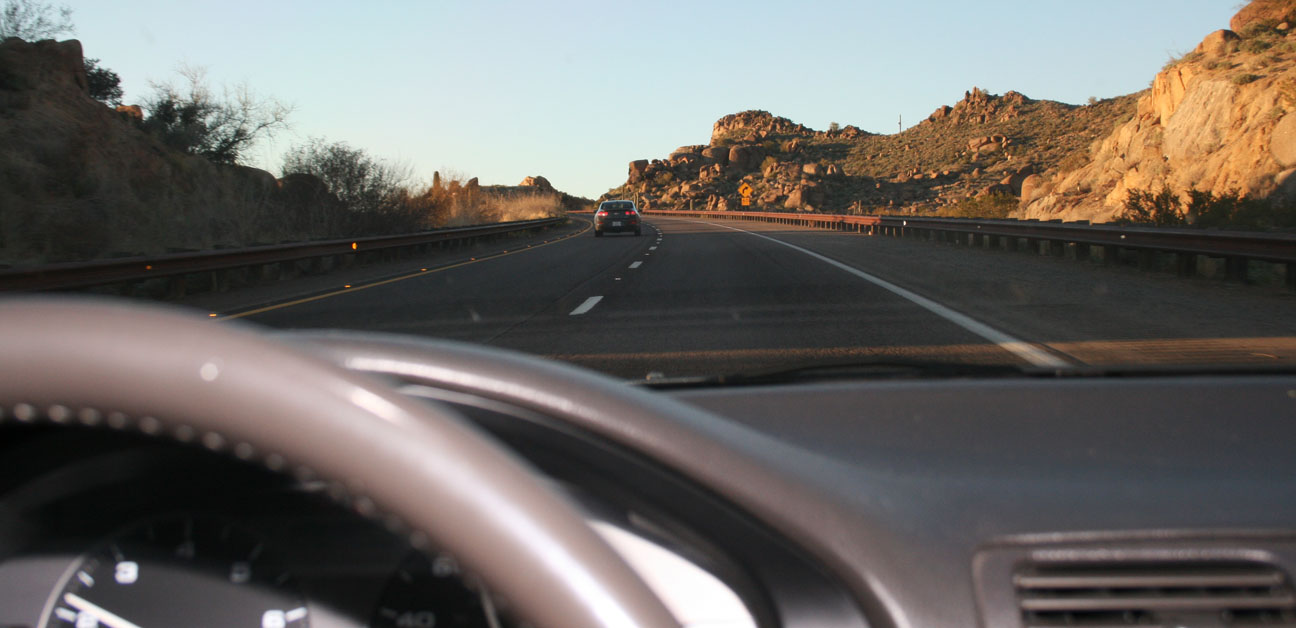
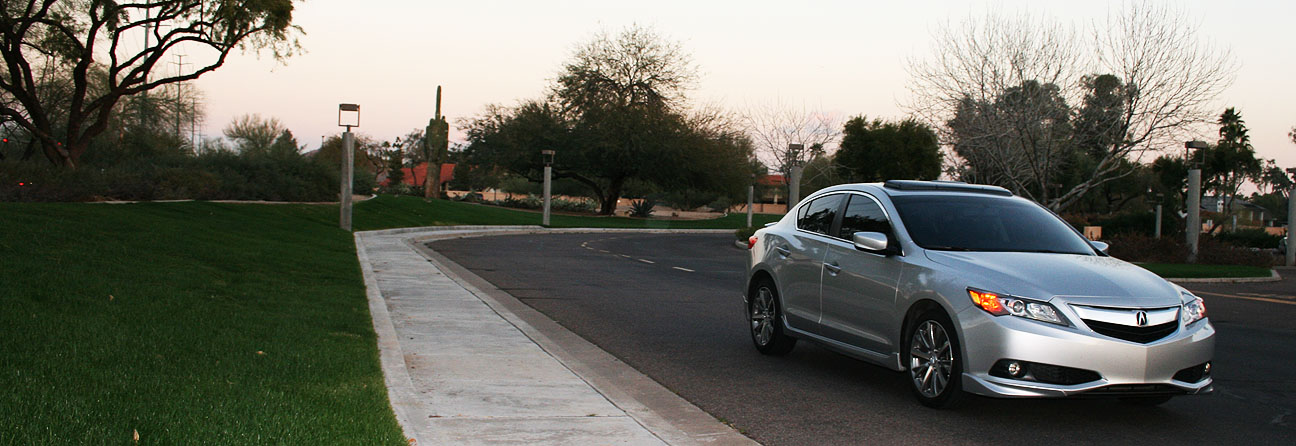
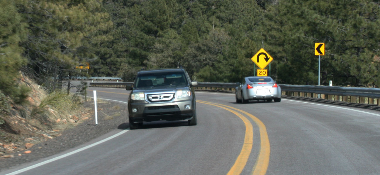
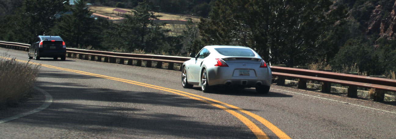
Over a 3-day weekend, I drove nearly 1,500 miles in the ILX through some of the most scenic (and remote) roads in the country. I’m going to break this trip write-up into the 7 destinations that I visited.
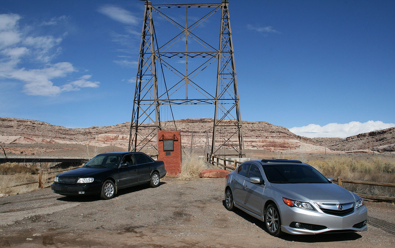
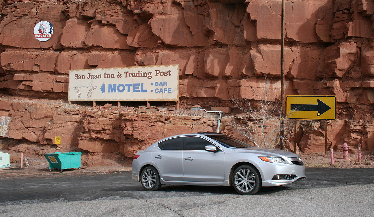
(1) Cisco, Utah Ghost Town
Back in December, I first learned of a town called Cisco when I was riding Amtrak’s “California Zephyr” train line from Denver to Salt Lake City and we railed past it. The image stuck with me and when it came time to do my 2013 annual trip planning, Cisco made the list. I’ve always had a fascination with ghost towns and one of my favorite ILX road trips was to Modena, Utah a couple months ago.
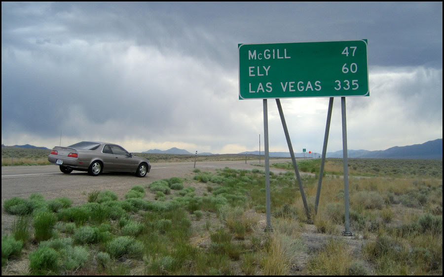
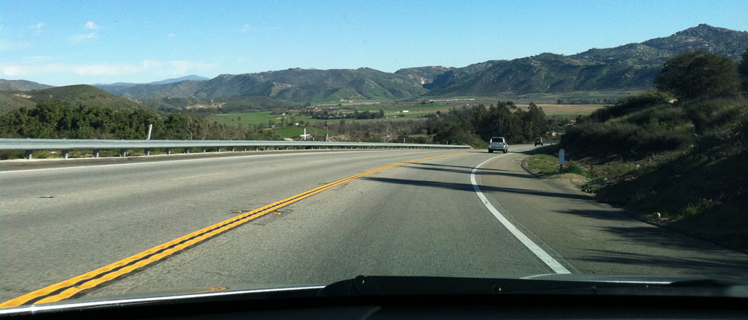
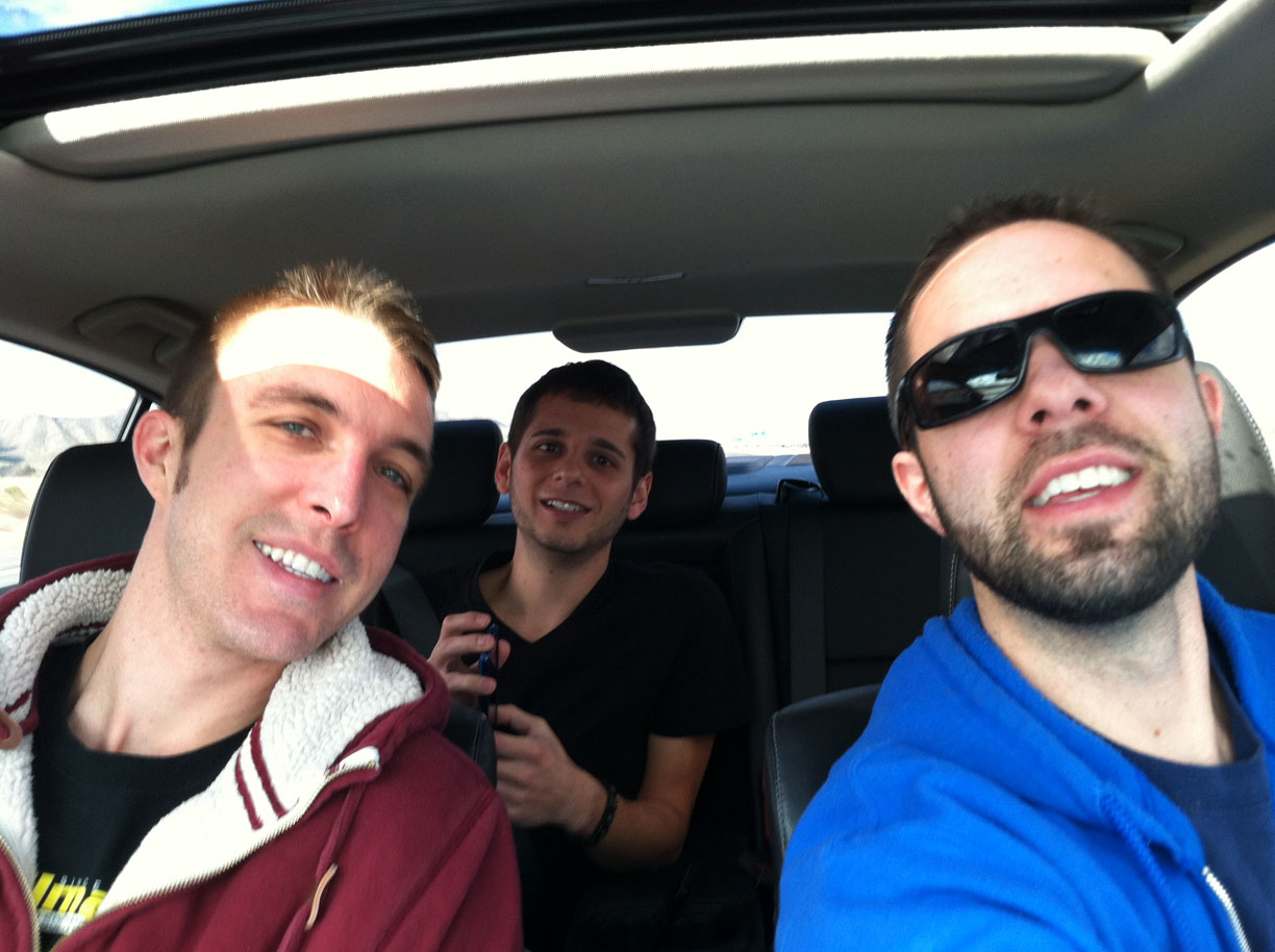
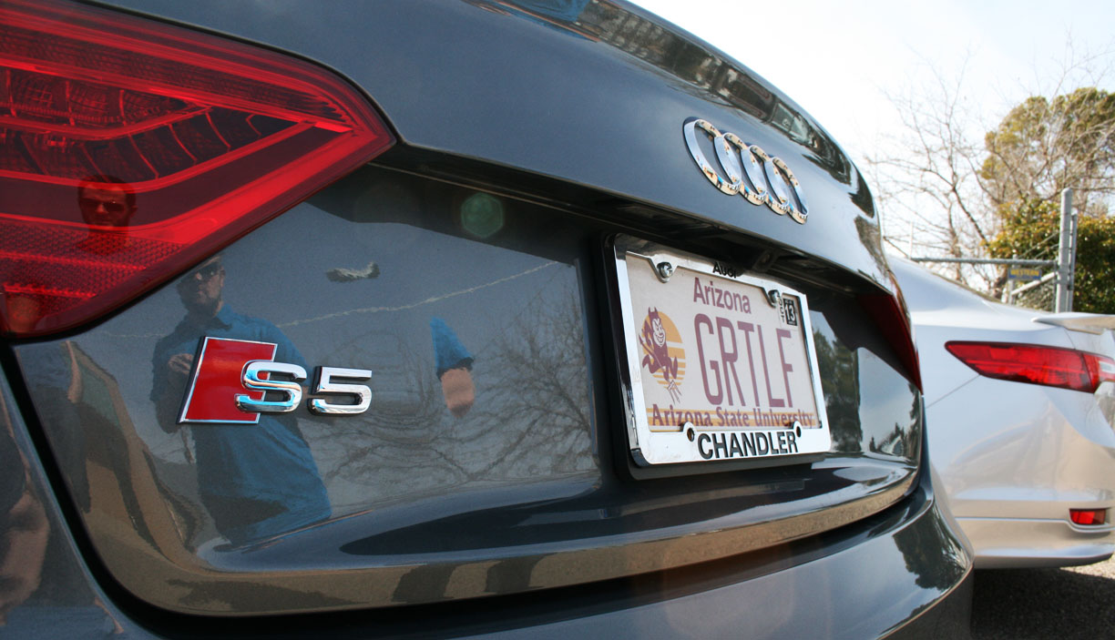
This time, I had a friend driving along. Ryan from Logan, Utah has a black 1996 Audi A6 Quattro with 225,000 miles on it. Ryan and I have known each other since his Acura Legend-owning days. Our meeting point on Saturday morning was Salina, Utah, a tiny town just north of Interstate 70 on Highway 89 in the central part of the state. I made my way northbound from St. George on Interstate 15 first. When I took the ramp for eastbound I-70, this was one of the first distance markers that I saw:

Traffic? No such thing out here on an early Saturday morning in February.

Pulling off at Richfield for 91-octane fuel at Flying J.

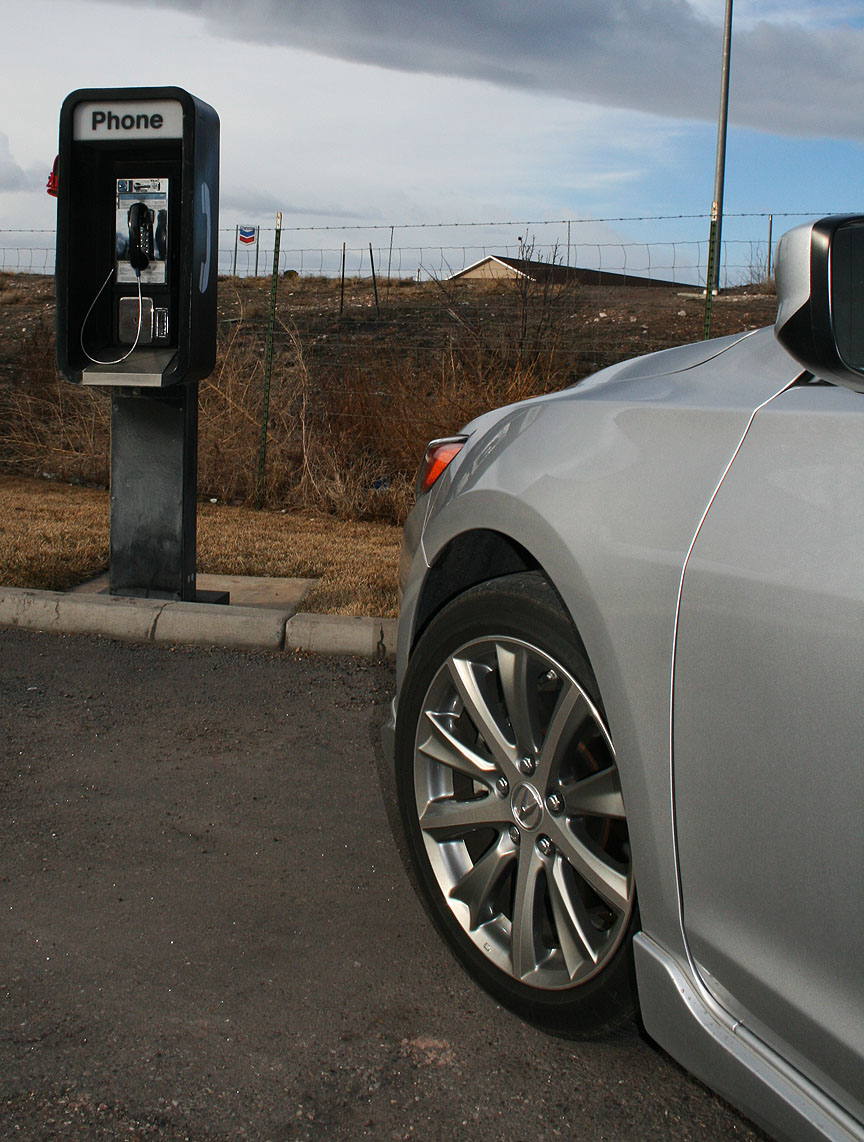
When was the last time you saw — or used — a payphone? You’ll be humming the tune to Maroon 5’s song “Payphone” for awhile now.
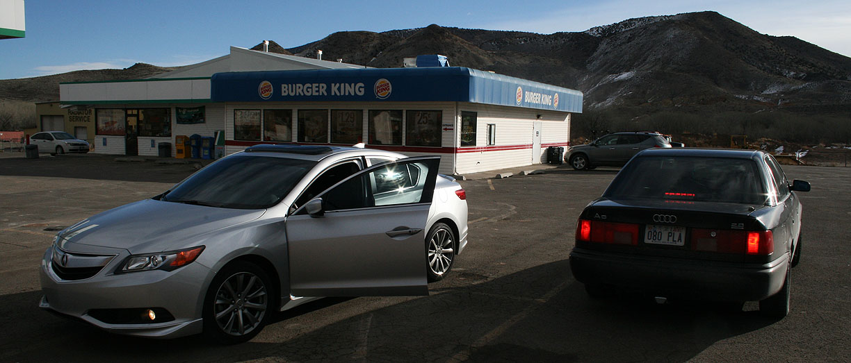
Only about 15 miles further east down the road, I met up with Ryan in Salina at the Burger King there. While I waited, I had some Cinnabon rolls – my diet was horrible that day. But that was a tasty breakfast!
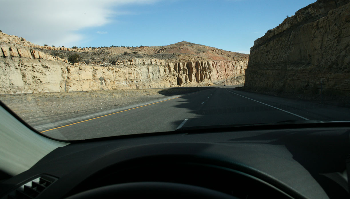
We made our way eastbound on the 70 to Green River – no services for 110 miles! Again, this is some remote back-country.

The scenery is great. We went up through a mountain pass and then had many many miles of 6%+ downgrades as we made our way toward the 191 interchange.
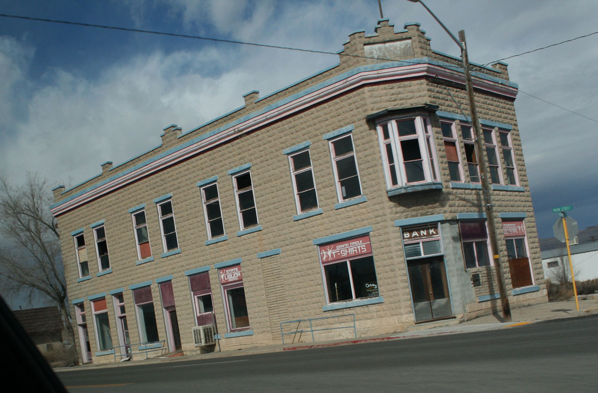
Green River was kind of run-down and the cold wind was unpleasant. Chilly enough, in fact, that I didn’t even stop for a picture of this building on Main Street, but rather took it on the fly.
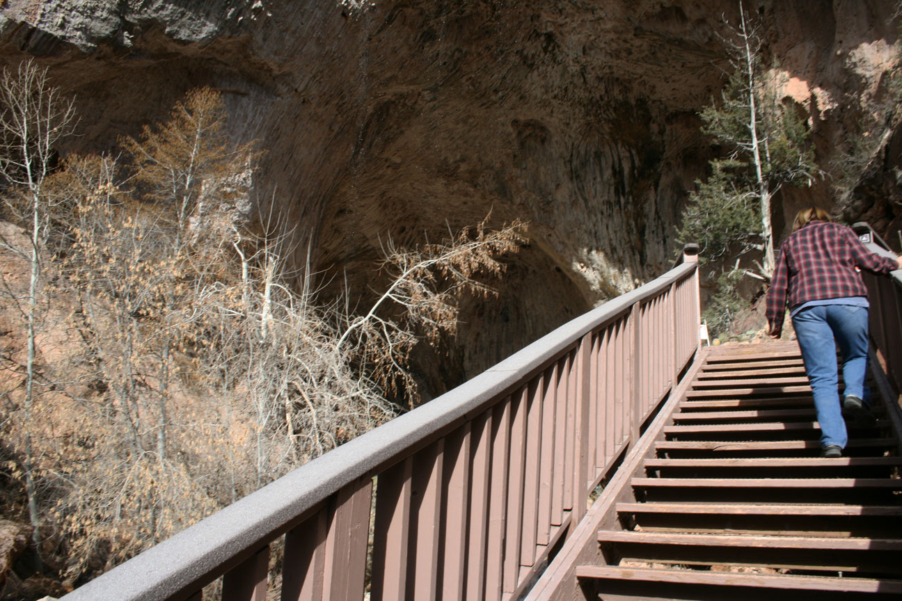
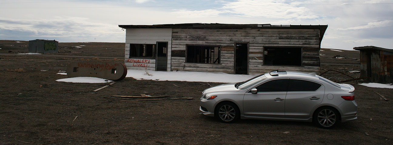
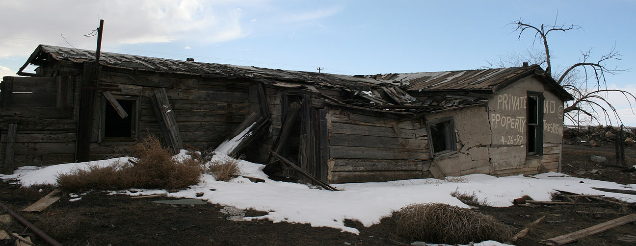
Our next stop after that was Cisco. This town was once a water-refilling station for locomotives but it has been abandoned for decades. The movie “Vanishing Point” was filmed there in 1971. The town was a little – well, a lot – off the beaten path. I led Ryan and we went on Hwy 128 after exiting I-70 at mile marker 204.

There’s a point at which a sign denotes that the road is no longer state-maintained. We kept going beyond that. Several miles, in fact. Soon I could see the decrepit buildings of Cisco on the horizon and I pulled over when we got there.
Time to take a peek inside some of these run-down relics.
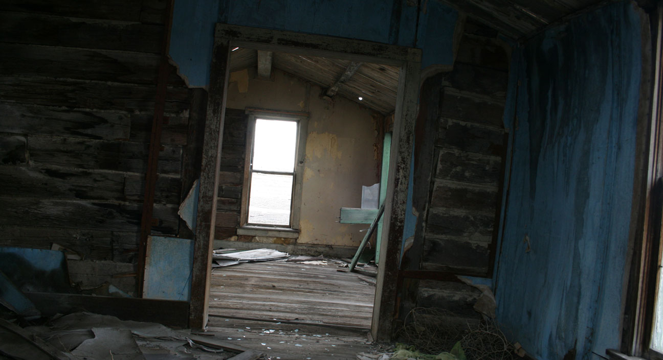

This place is so remote and eery. As we walked around in mud that nearly sank us to our ankles, the door to an open motorhome blew back and forth in the breeze and squeaked like something from a horror movie.

I hopped up inside the motorhome pictured at left in the above and saw that there was an unopened packet of Ramen Noodles on the kitchen counter.


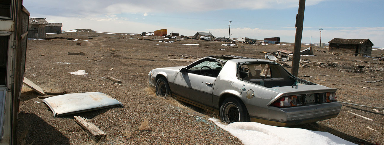
Some vinyl records were scattered across the floor, along with a bunch of trash. We looked inside a number of the other abandoned vehicles around the area. There isn’t a single home that appears to be inhabited at this time.

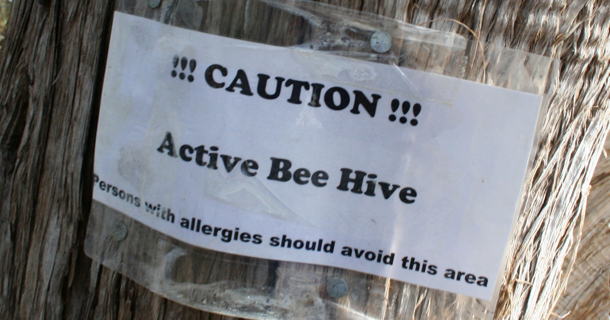
Even the “best-kept” ones are boarded up with No Trespassing signs.

Anybody looking for a clean one-owner 1980’s Camaro?


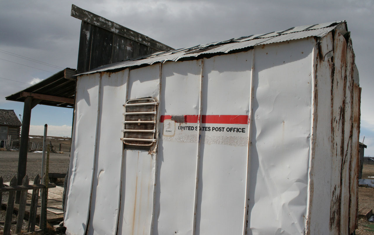
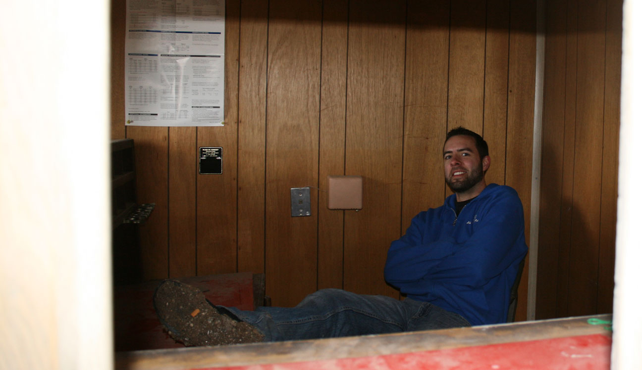
Ryan and I found the post office. It was a tiny one-room shack that reeked horribly of cigarette smoke, even with the windows broken out. A leather chair and a desk still sat behind the counter.
That picket fence out front could use a fresh coat of paint.

A sign about postage rates hung on the wall above the desk, dated 1995 (see in the picture below). I don’t think this place has seen much activity in at least the last 18 years. This article, which features an interview with Cisco’s last “postmistress” herself (Sharon Dalgleish), discusses what it’s been like for Cisco over the years.
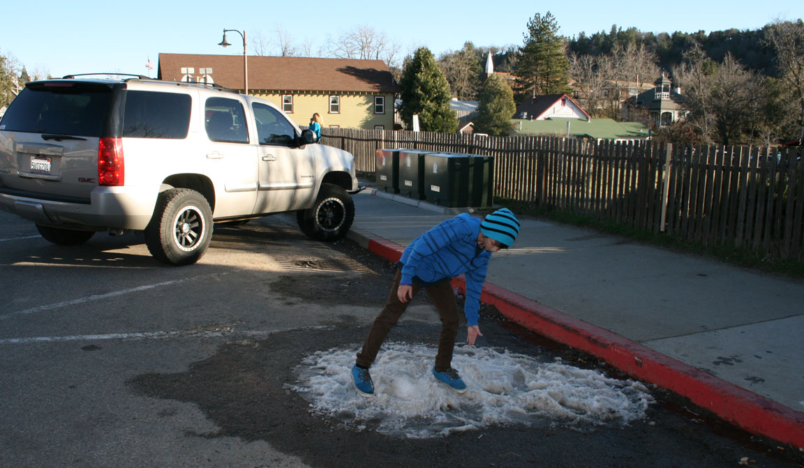
Notice the mud caked onto my shoes! It’s a good thing my ILX has all-weather floor mats.

Here is what the post office once looked like. I would have loved to visit Cisco during the town’s boom.

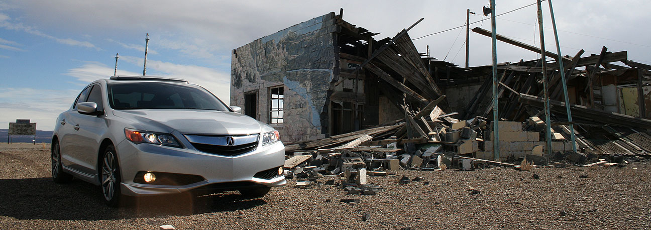
After a few pics, it was time to get the heck out of there. Here we’re parked in front of the Cisco Landing Store. I imagine it’s been closed for quite some time. The restrooms are outhouses.

(2) Highway 128 & Dewey Bridge
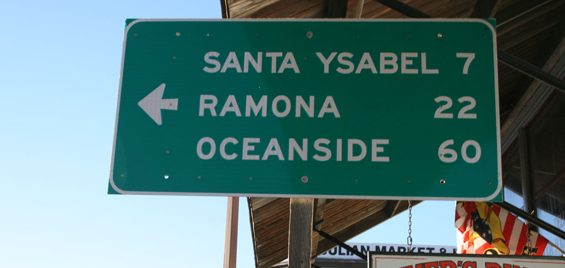
Next we turned toward Moab on two-lane Highway 128 where a sign told us it’d be 42 miles away.

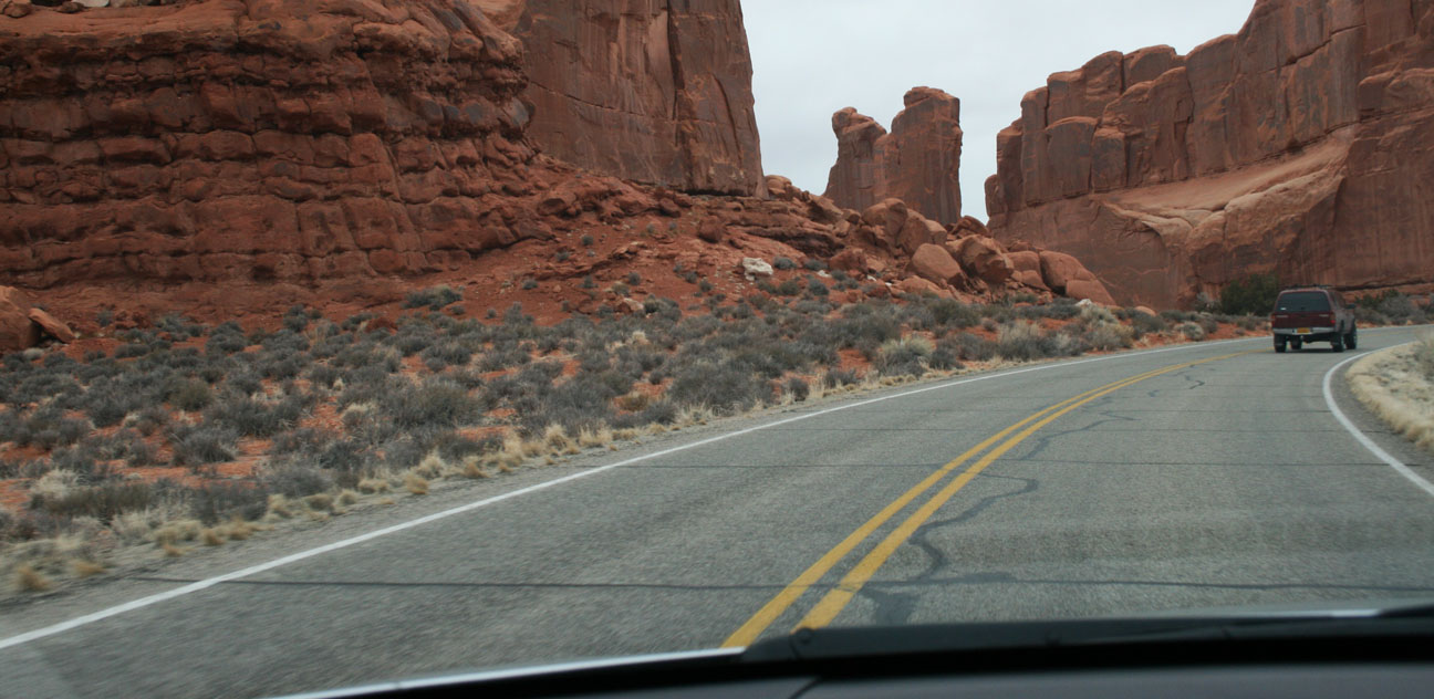
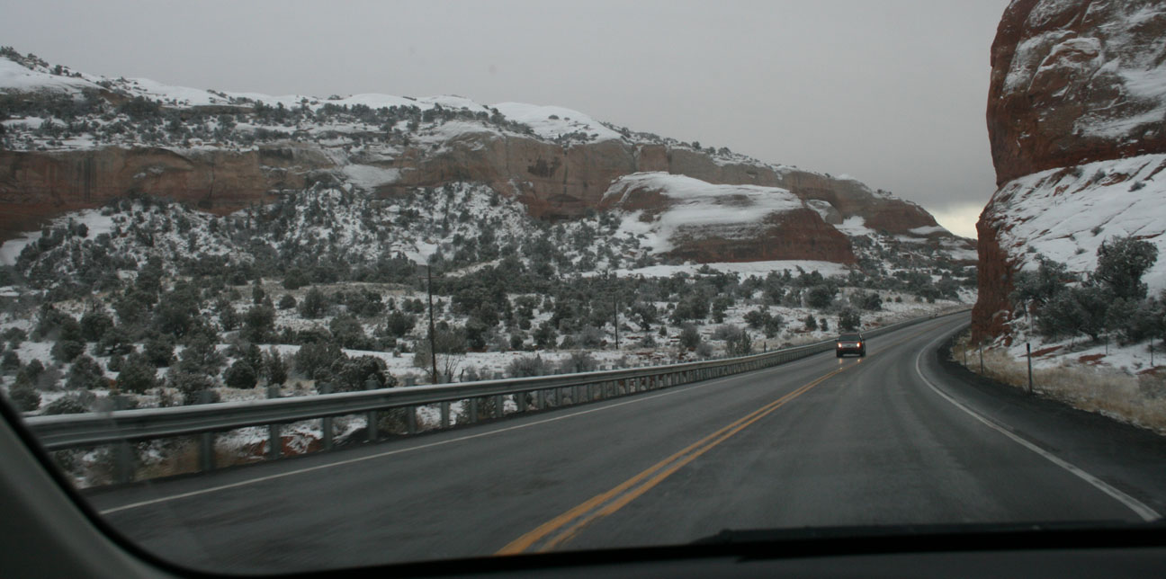
My Garmin GPS absolutely refused to let me go that way – it told me for the next 10 miles or so to “turn back!” but I was determined to scout out this road. As it turns out, the scenery was well worth any additional mileage! Rolling hills, transitioning from snow-frosted rocks to giant red-rock walls alongside us. We crept along parallel to the Colorado River.
I passed a sign for the historic Dewey Bridge and immediately hit the brakes in the ILX (luckily Ryan wasn’t following too closely in his Audi). This landmark bridge has some fun history. Here’s a quick run-down:
- Constructed in 1916 by Midland Bridge Company of Kansas City, Missouri
- Bypassed in 1988 by a new bridge for automobile traffic to the west
- Restored in 2000 as a pedestrian and bicycle path
- Burned down in 2008 by a 7-year old playing with matches!
Before:

During the 2008 fire:

And this past Saturday. All the remains from the bridge are the cables!


Charred stump:

When it was constructed, Dewey Bridge was the second longest suspension bridge west of the Mississippi. From Wiki:
In 1916, the bridge was dedicated with a strength test by having approximately 70 attendees attempt to cross the bridge at once. The total was seven wagons, two people on horseback and several on foot. The bridge was designed to support the weight of six horses, three wagons, and 9,000 pounds (4,100 kg) of freight.
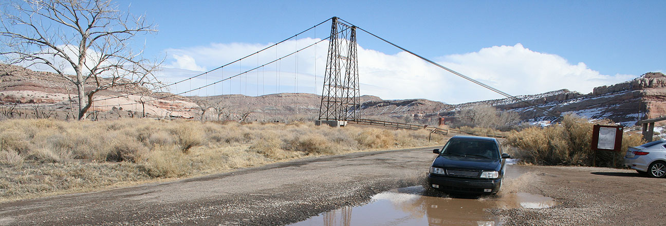
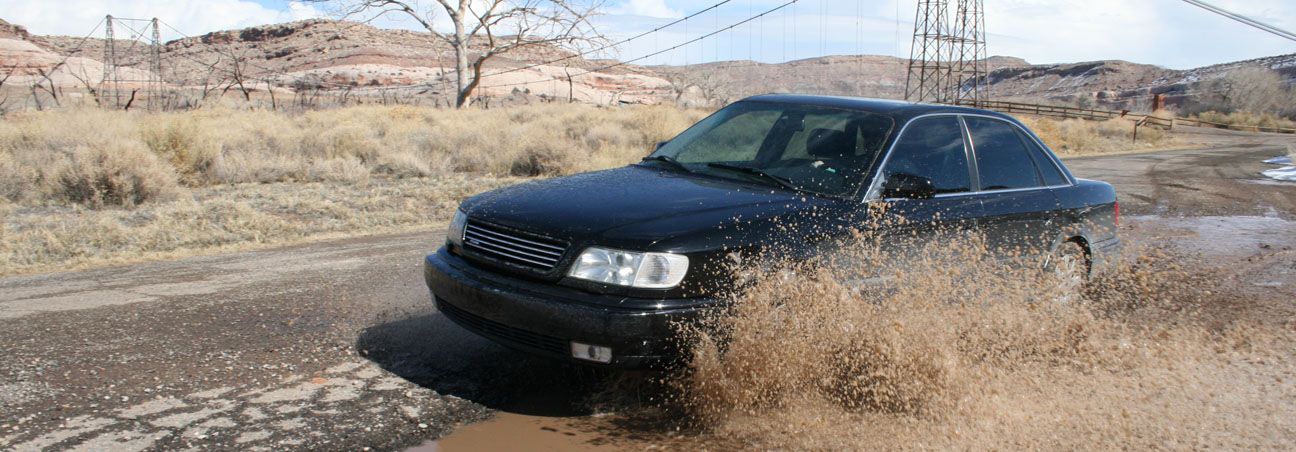
Then I had Ryan drive through a huge mud puddle and took some pictures. What’s Audi “Quattro” AWD for, anyway?
We continued the remaining 30 or so miles to Moab via scenic byway 128.


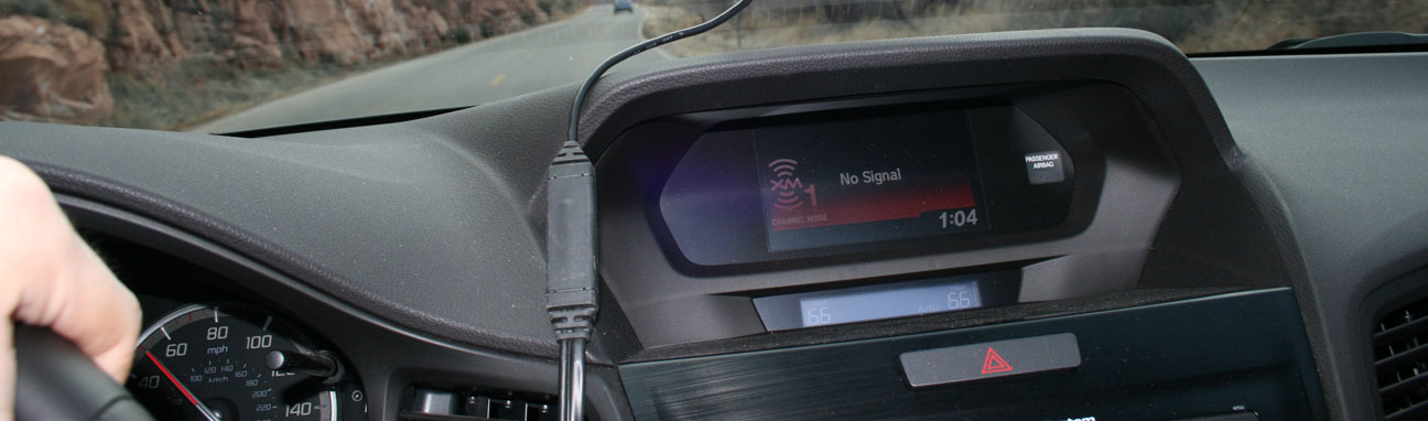
High canyon walls prevented my satellite radio from getting any signal.
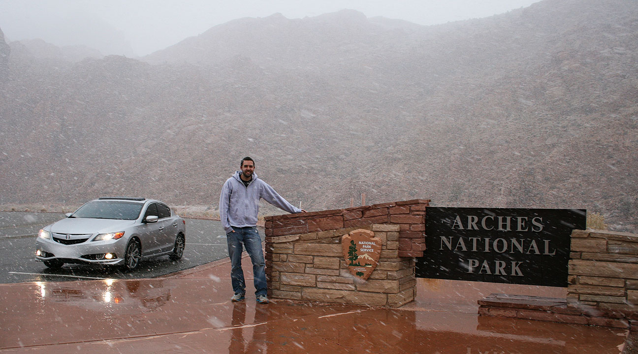
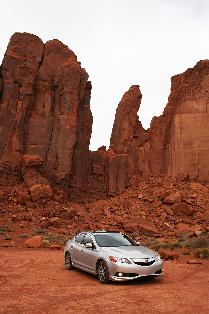
(3) Arches National Park
In 1996, the state of Utah launched a new style of license plate to celebrate the its centennial. The main feature on the plate was Delicate Arch, a massive sandstone formation in Arches National Park in the southeastern part of the state. Ever since then (I was 15 at the time), I’ve wanted to see the arch in person.

While the northern part of the state is home to what’s become known as the “Greatest Snow on Earth,” the southern part of the state has a vastly different (desert) landscape. Utah is home to FIVE national parks, including:
- Arches
- Bryce Canyon
- Canyonlands
- Capitol Reef
- Zion
Each one is unique in its own way. I’ve not yet had the chance to travel to Capitol Reef or Canyonlands. This past weekend, I crossed Arches off my to-see list. Arches is home to over 2,000 natural sandstone arches. It covers over 76,000 acres and was designated as a national park in November 1971.
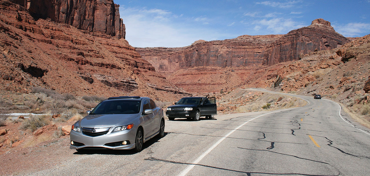
Ryan and I made it to the junction of 191 near Moab and headed north. Ryan parked his car in a lot and hopped in the ILX with me so we could drive on into Arches just a couple miles up the road. Entry was $10 for our car. The road climbs sharply and winds along though some of the most spectacular rock formations I’ve ever seen.
We found our way to the Delicate Arch trailhead and parked. At this time it was chilly and overcast, but no moisture. There’s an old log cabin at the trailhead too — the original home of the Wolfe family, settled in 1888.
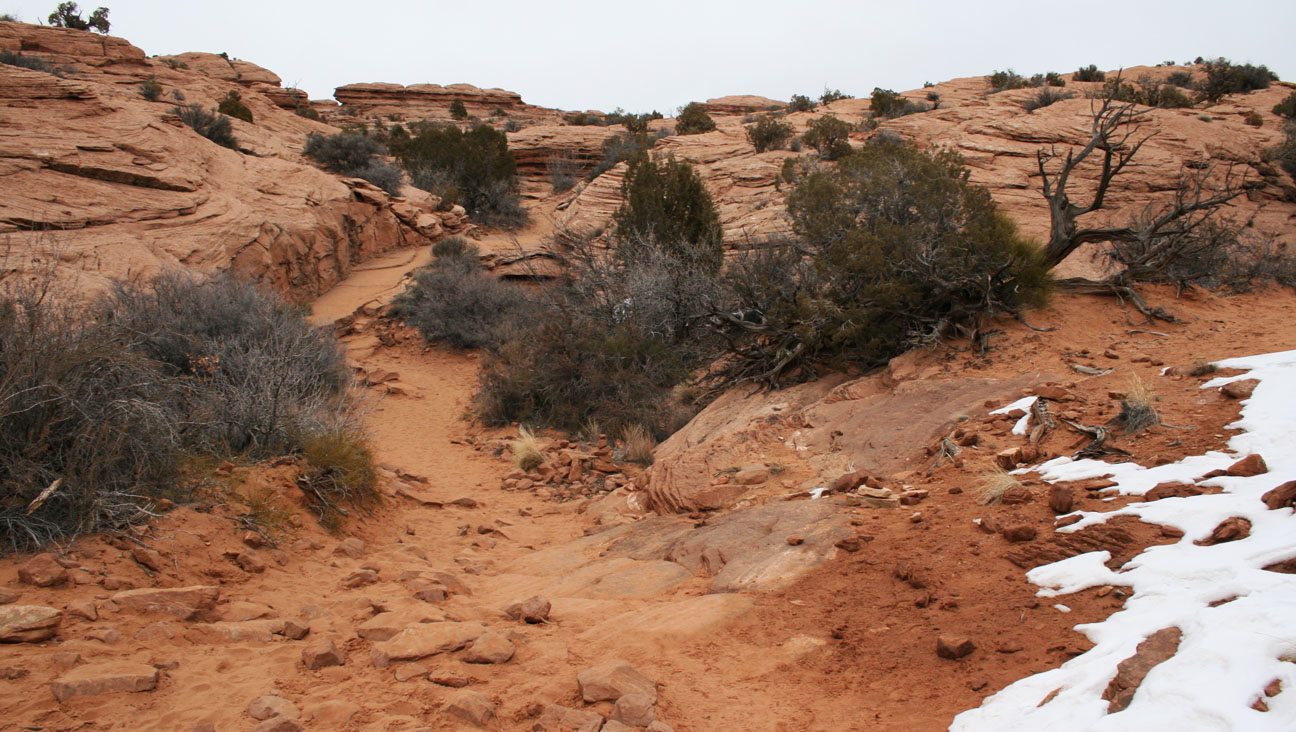
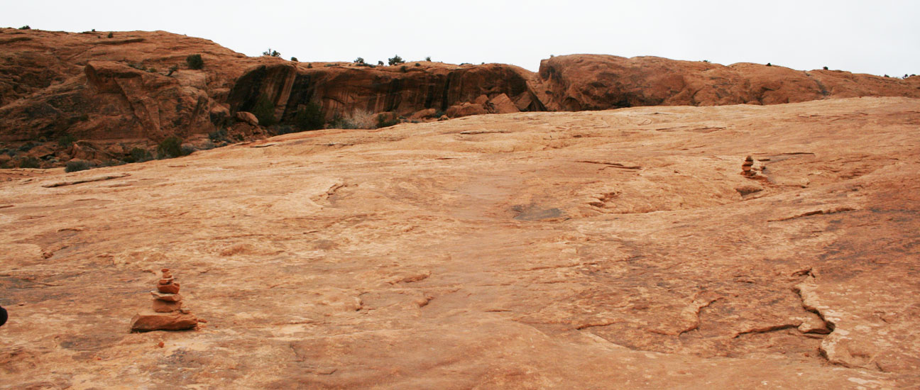
The hike was only 1.5 miles each way but quite steep as we scaled the sandstone rocks. Though at times we were scaling the surface of rocks, our pathway was still well marked thanks to stacked rocks that would guide us.
Soon we got to a point where the trail was hugging the side of a cliff and it was COVERED IN ICE!


I couldn’t even go a step further until I got on my hands and knees and crawled. I never fell but I slipped a number of times. We encountered a really friendly girl who told us we were close to the finish so we pressed onward.

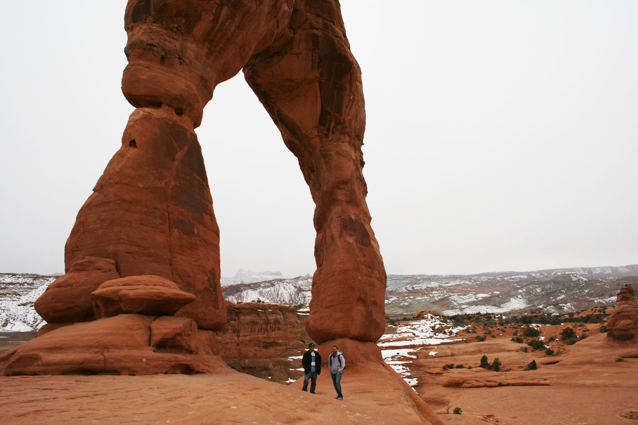
Suddenly, we did arrive! Pictures do not to the arch justice. The arch is absolutely huge, at 65 feet tall.
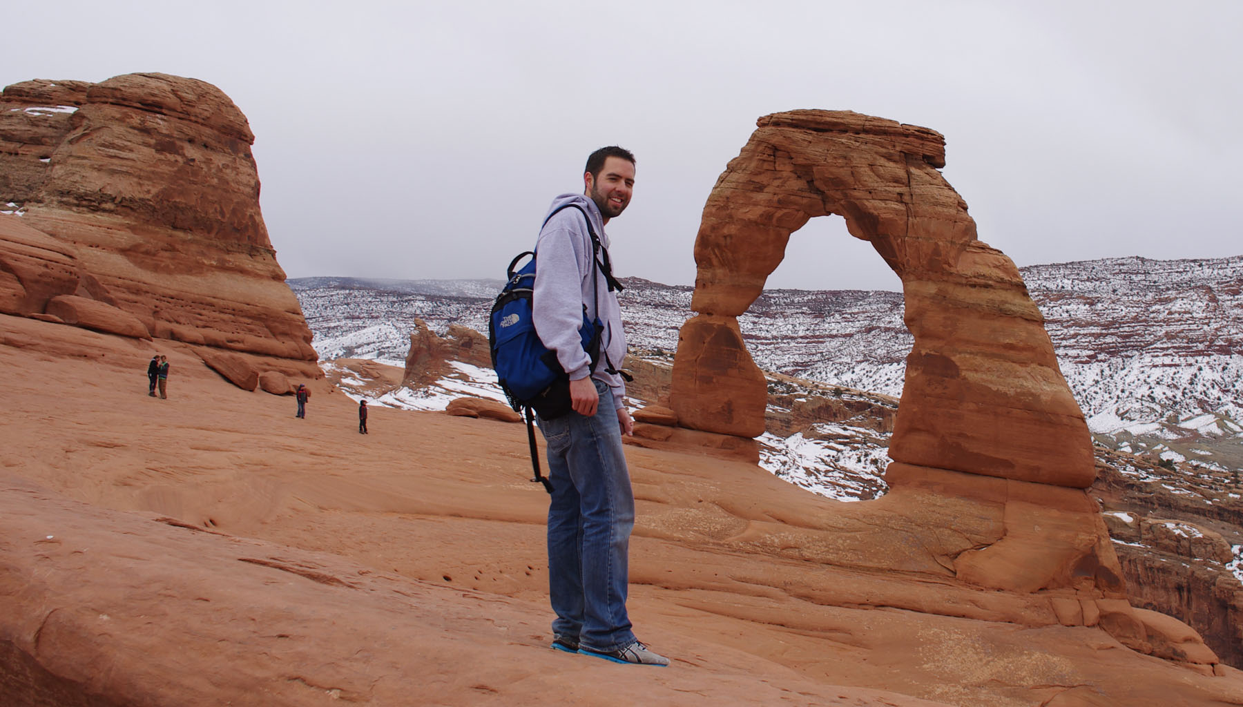
Climbing it is not allowed. Right in front of it there’s a HUGE sandstone bowl that you could fall into.

And a drop-off on the other side of it, along with various formation around the rim of the bowl.

To put things into perspective size-wise, look at us standing below the arch here:
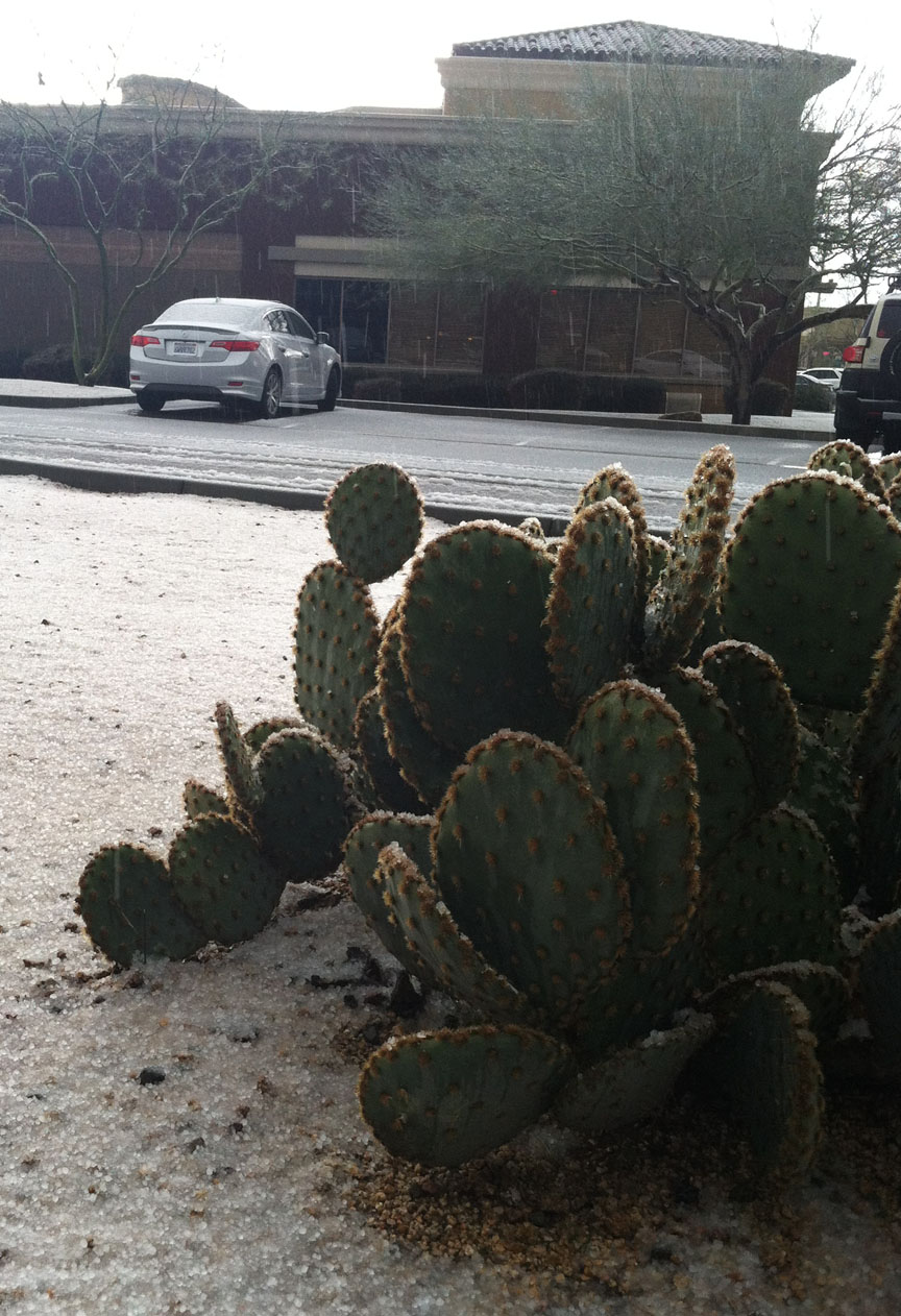
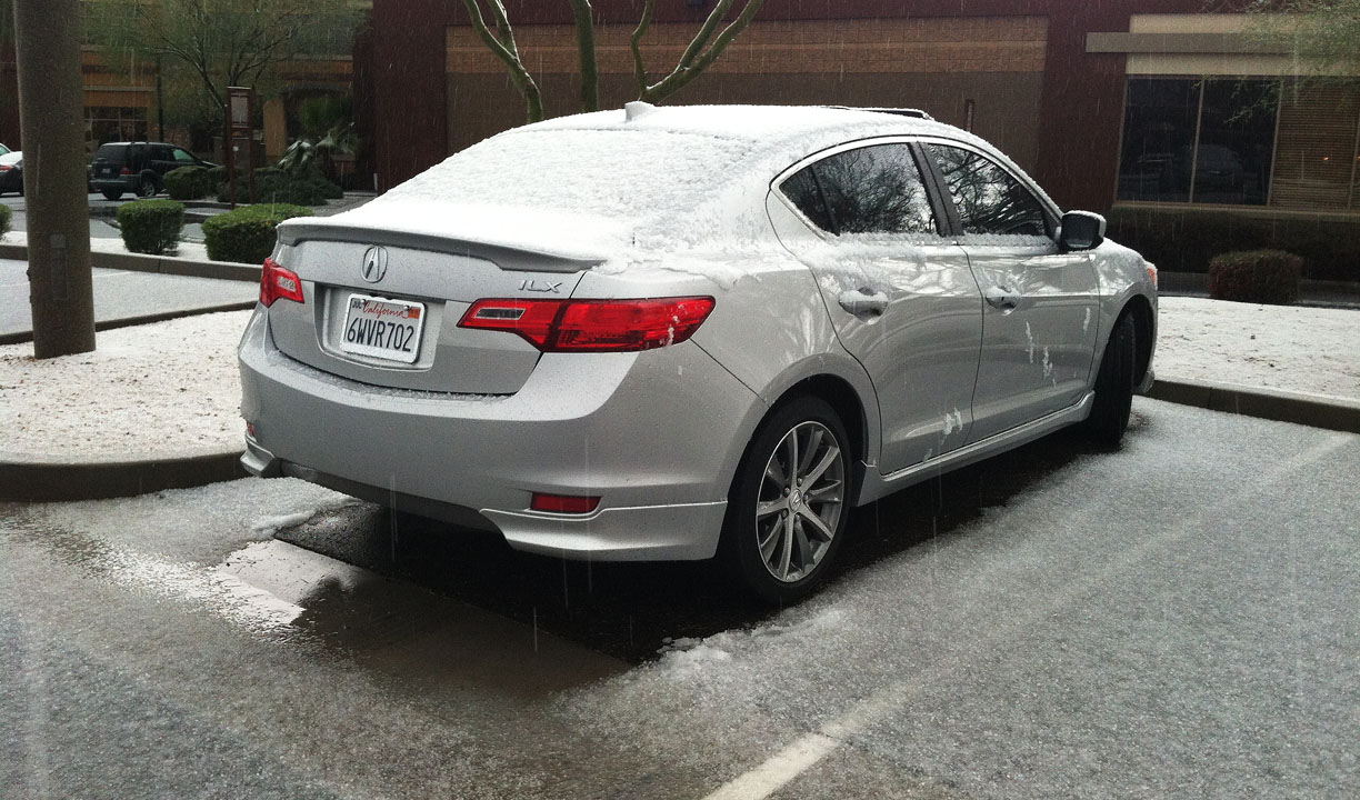
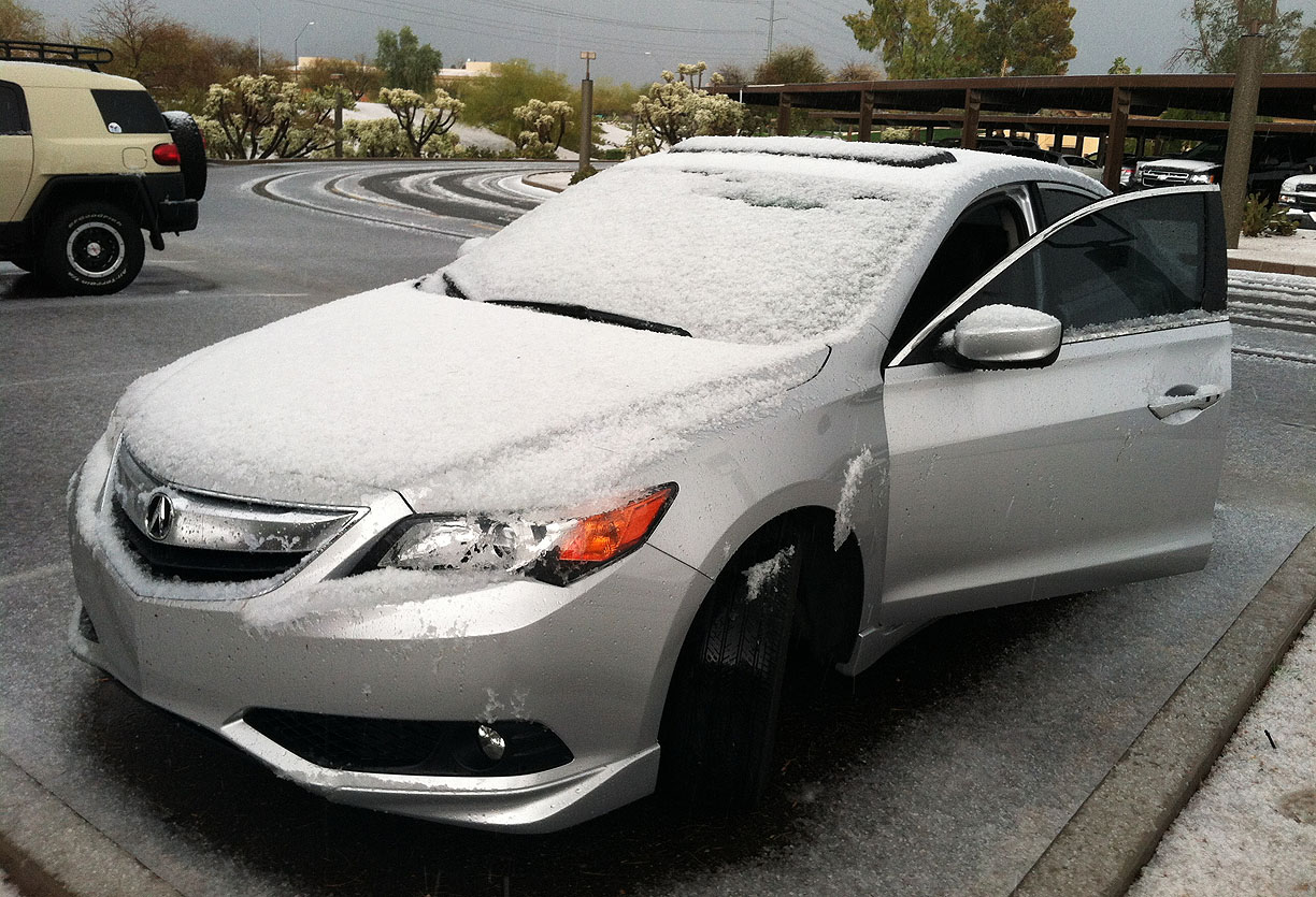
The downhill hike went faster but was treacherous with the ice. The snow started picking up heavily as we got to the lower elevations and approached the parking lot. We opted to head down the hill toward the visitor’s center. Ryan and I made our way through Moab and then headed southbound on Highway 191 in the snow.
Snow was accumulating pretty quickly at this rate. Of all the beautiful days in the forecast, we had to pick the one that had inclement weather!

(4) Hole In The Rock
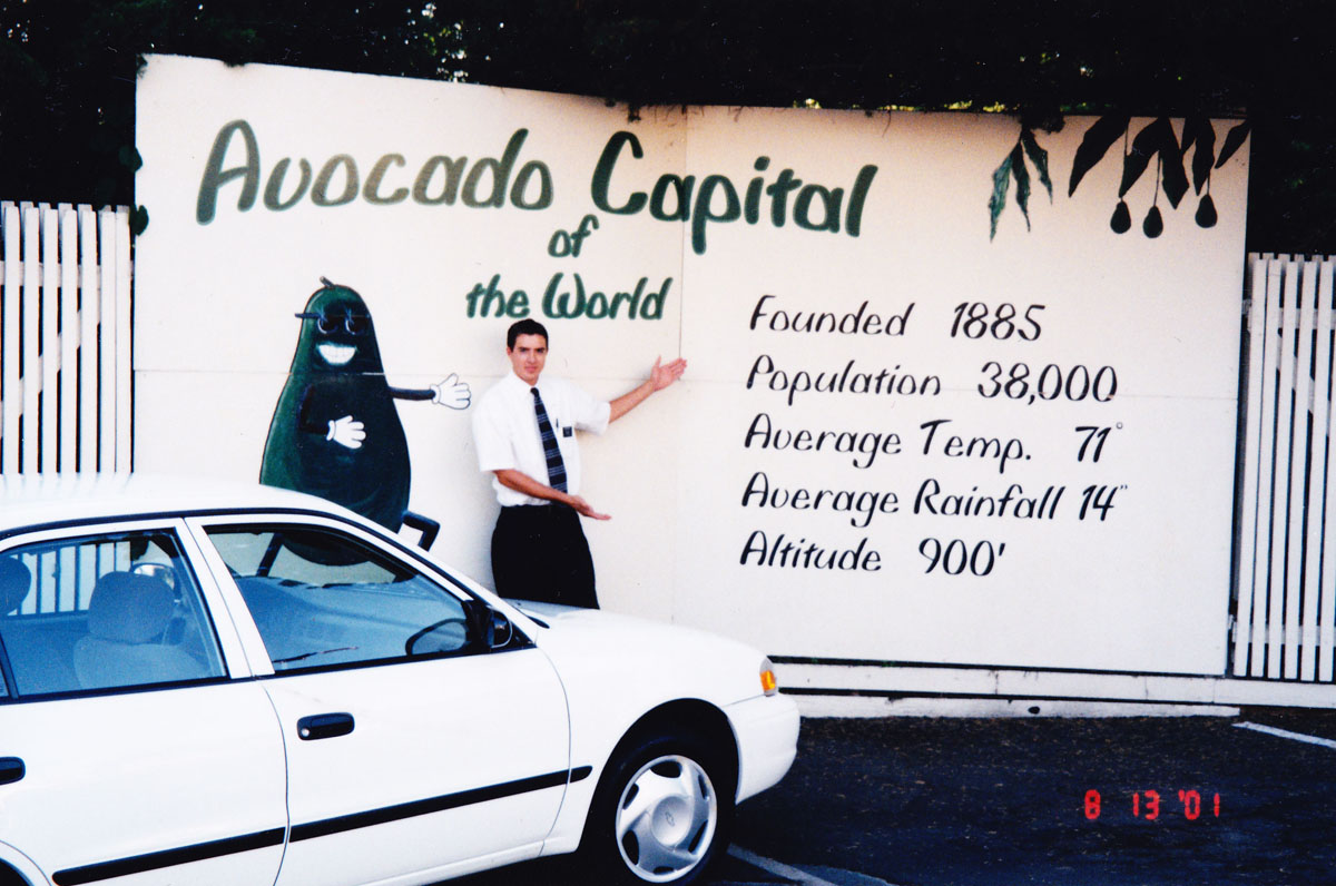
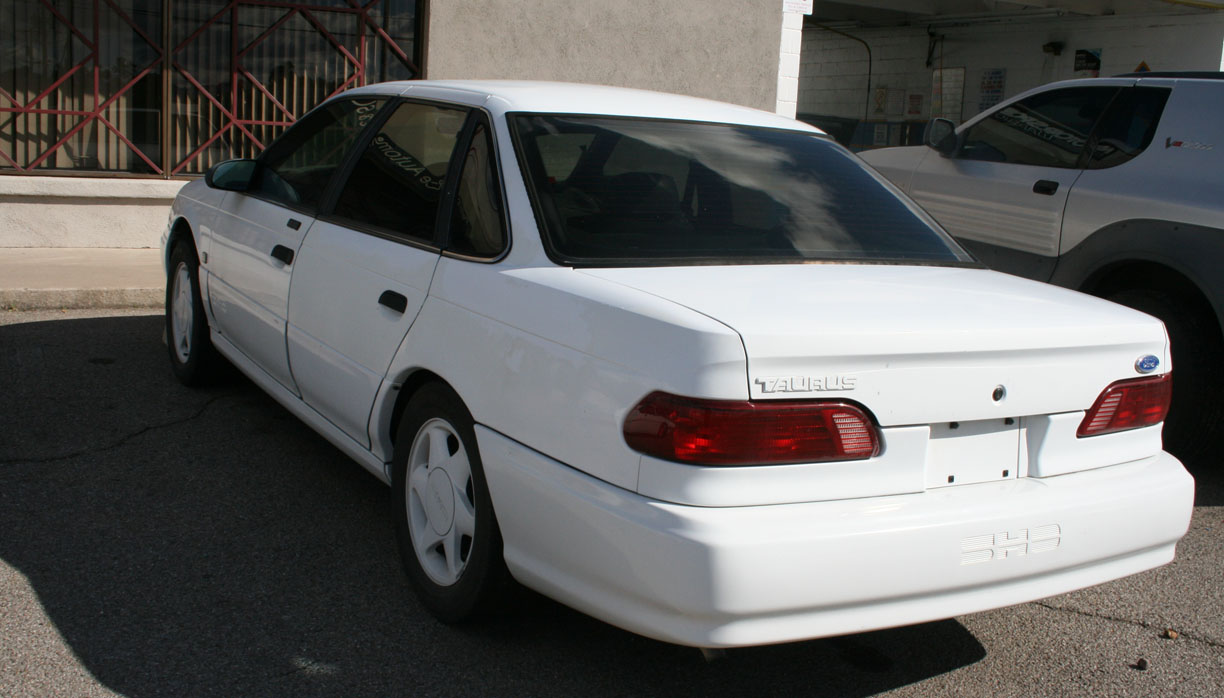
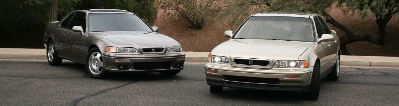
Can you imagine carving an entire home out of the inside of a sandstone rock? That’s exactly what a man named Albert Christensen did. It took him 12 years to carve a 5,000-square-foot home into the red sandstone just south of Moab. The home, called Hole N” The Rock, is open for tours for $6 but the gates were closed when we drove past. I visited this place in my Legend in June 2005 when it had 176,000 miles on it:

Because of how well the rock insulates the home, there is no A/C required during the summertime!

Cozy little interior:

And a picture from Saturday with the ILX:

(5) Monticello, Utah
On the road again – southbound on Highway 191.
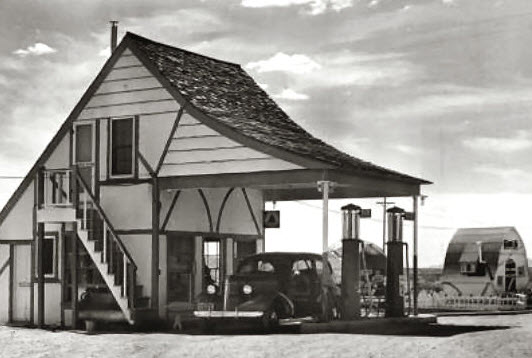
As my friend Kristy was telling me directions to her family-owned pizza business, she told me “Go past the light 2 blocks.” THE light. As in, there’s only one in town. We’re talking about a very small place here (1,958 people to be exact). I liked this run-down service station.

Kristy and her sister were the only ones working at Thatzza Pizza at 201 South Main Street.

Fast, friendly service – right here!
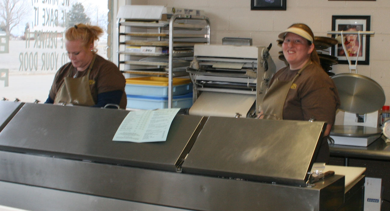
Ryan and I made chit chat – I hadn’t seen Kristy for a couple of years since she lived in Phoenix. It was good to catch up. We ordered a ton of food – meat lover’s pizza and some cheese bread for me. Ryan got some special ‘jalapeño bacon’ on his. Kristy set us up a table to eat in the back room while she visited with us. She told us about her 3.5 year old daughter and how her home is a converted movie theater. Thanks, Kristy!

Ryan and I wanted to head southbound on 191 before it got too dark. It was only 20 more miles to our nightly destination in Blanding, Utah but the snow was blizzard blowing and there were probably at least a dozen or more deer warnings in that 20-mile stretch of road! I was ultra paranoid since I’ve been known to have deer encounters before. It was a white knuckler at 45-55 mph the entire time, but we made it.
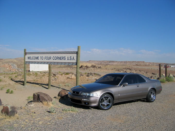
(Flashback) Four Corners
Here’s a place I’d wanted to revisit this weekend but didn’t. Four Corners is famous because it’s the only spot in the country where visitors can simultaneously stand (on all fours, anyway) in four different states — Colorado, Utah, Arizona, and New Mexico. This spot was first marked in 1875, with the first permanent marker being placed there in 1912. Despite its remote location, Four Corners is visited by thousands of people each year. Here is a picture from a visit to Four Corners in the Legend in 2005:
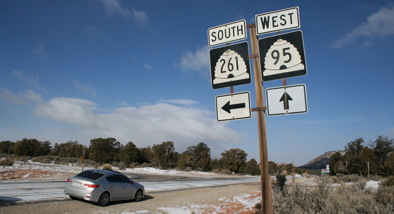
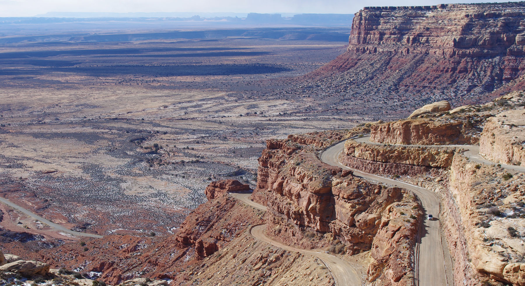
(6) Highway 261 & the Moki Dugway
On Sunday morning, Ryan and I were the only ones at the Blue Mountain Inn in Blanding. We had the entire continental breakfast to ourselves – it was eerily quiet at the hotel (probably because it was 1 degree outside and tourist season has not nearly begun). It was a gorgeous blue sky morning with fresh snowfall outside. I randomly discovered a new road that I thought would be fun to try. It was Hwy 95 west to Hwy 261 (“Trail of the Ancients”) south. It all started when I saw on Google Maps what looked like a teeny little “knot” in the road, circled in green here:

A closer look:
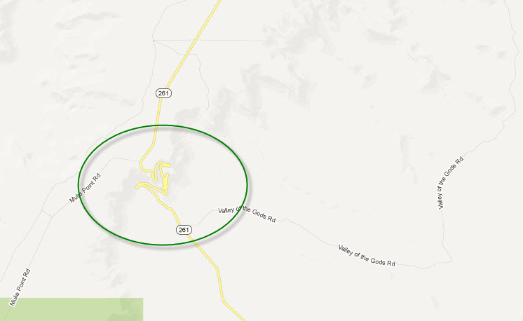
Hmm. Let’s zoom that once more:

Whoa – sign me up for that curve action! When I went to satellite view, I was a bit discouraged to see that the road is unpaved, but after a little bit of internet research I was assured that conditions were acceptable for passenger car travel and only 3 miles of it are unpaved/gravel. Highway 261 is a favorite among many. In fact, I learned about one particular lady who’s been going there every year since 2002.
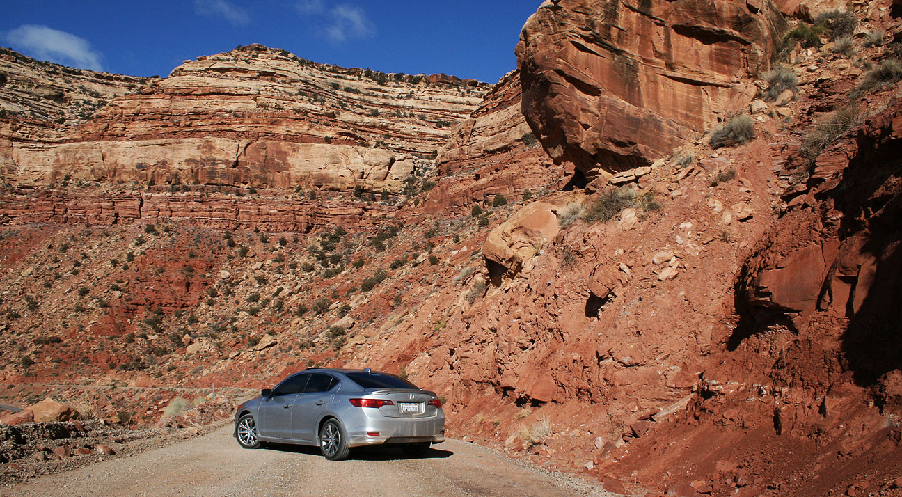
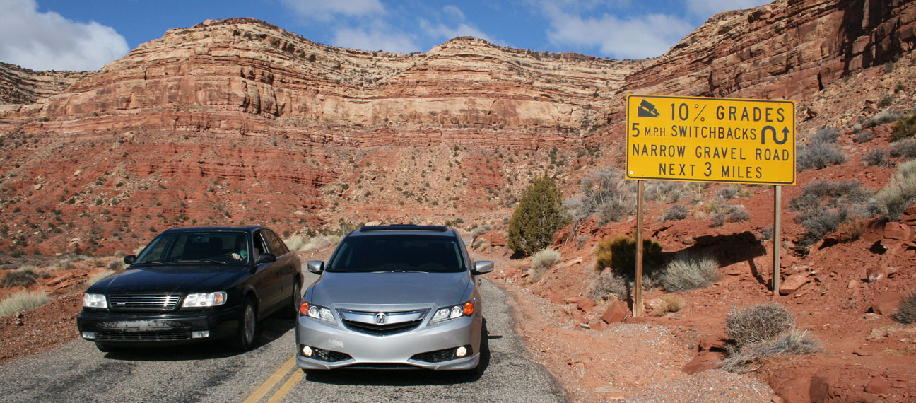
I was nervous about road conditions due to the snowy weather the night before, but at the same time I was somewhat excited about the idea of trying an all-new route. This would also allow us to go right past Monument Valley on Hwy 163. Plus, I’d already seen Four Corners so it didn’t have as much appeal. Ryan was totally amped about trying the new proposed route because of a 3-mile dirt section called Moki Dugway.

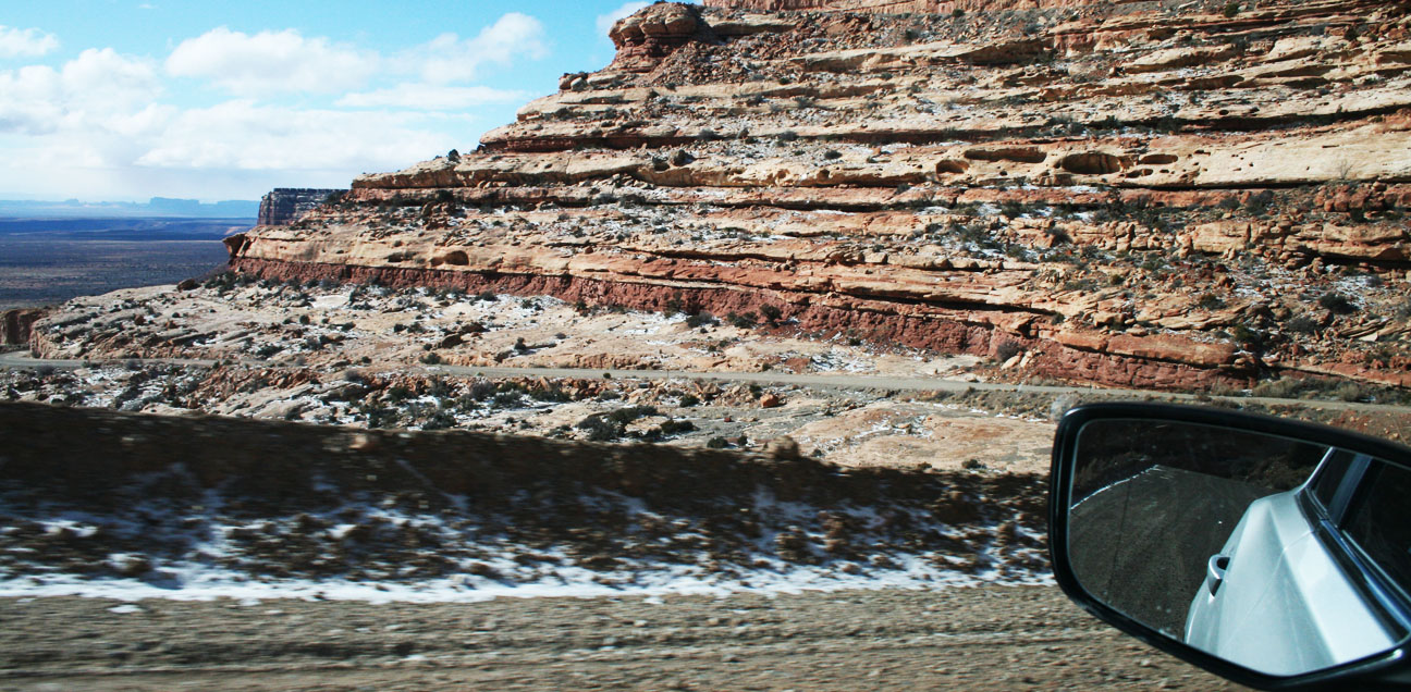
There was snow accumulation on the road as we made our way southbound on 261. Based on the fact that there were zero car tracks, we must’ve been the first ones out there that morning. I was nervous but I kept both hands on the wheel and a moderate speed. Ryan tailed me in the Audi which is equipped with AWD and snow tires. The ILX was sure-footed and confident with its Michelin Pilot tires. We passed only 2 vehicles in the 30 or so miles until the Moki Dugway section started.


Warning!
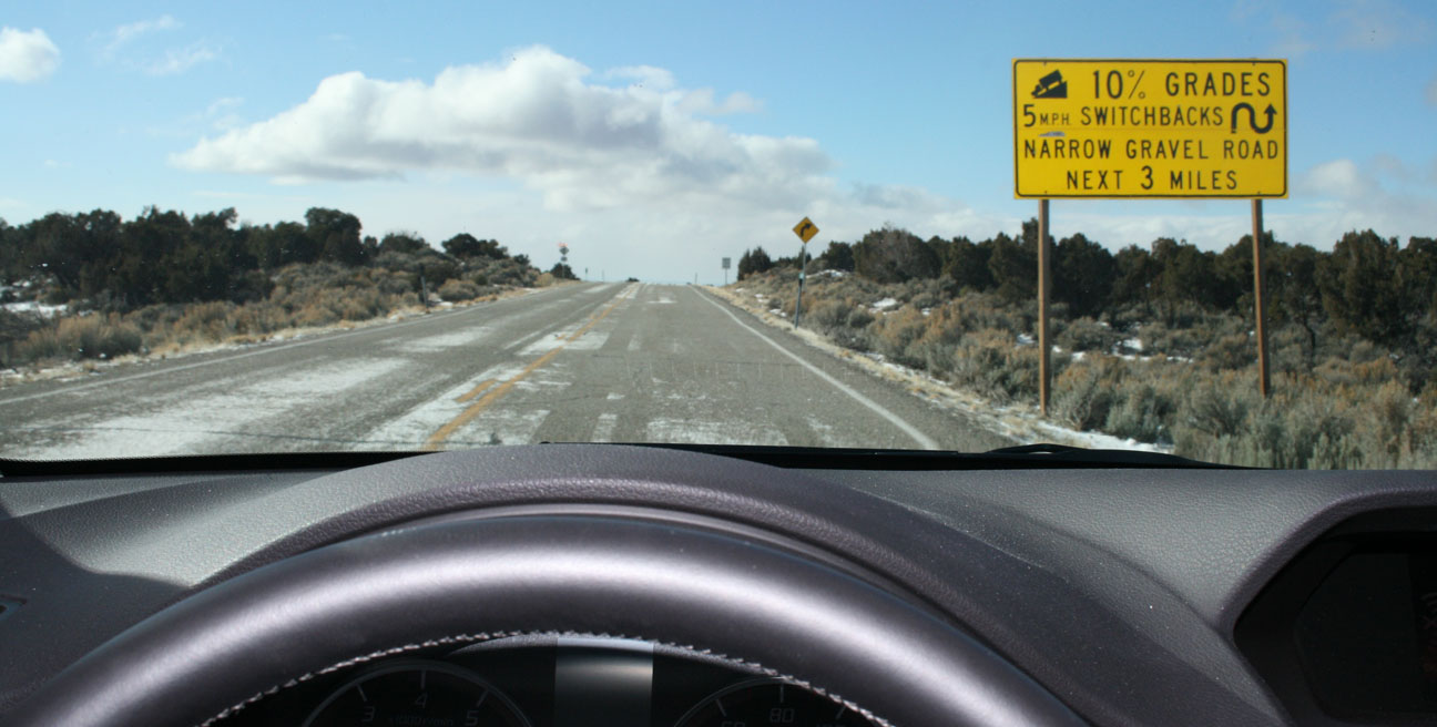
5 mph corners!

Then the adventures began. The switchbacks on this road are awesome! I had Ryan snag some pictures from a high vantage point as I snaked around the bends.
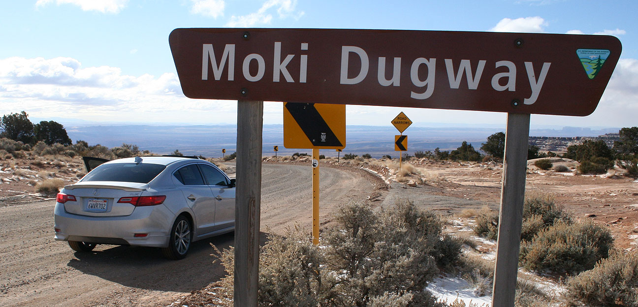
No guard rails here. We were about to experience an 1,100-foot drop in only a 3 mile distance. Hold your breath.
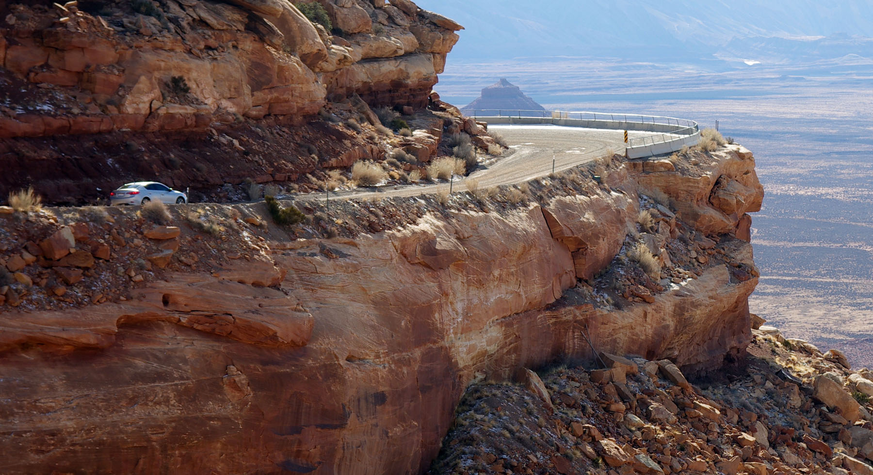

Remember that twisty road I’d seen on Google Maps? Feast your eyes:

Look very closely at this next picture. There’s a tiny silver speck toward the right hand side of the frame. There’s my car.


These Utah grades were no match for the ILX’s 201-horsepower engine and exceptional braking. Ryan’s Audi has a 12-valve V6 engine. He says the car’s not overly powerful but the transmission is geared smartly – the car uses its power (172 horses) well.
I will definitely be going to back to revisit that section of Highway 261 in the near future.
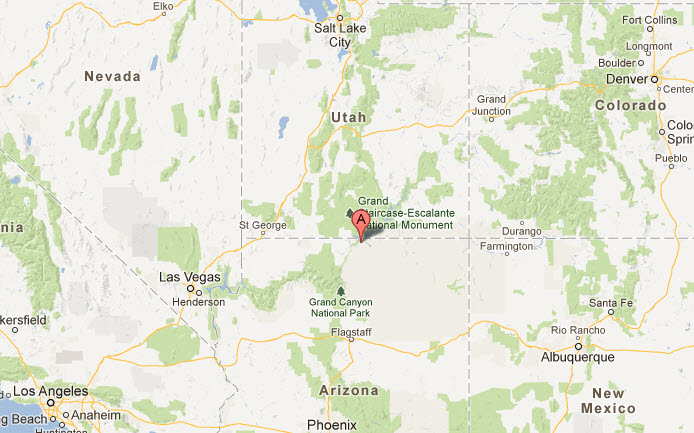
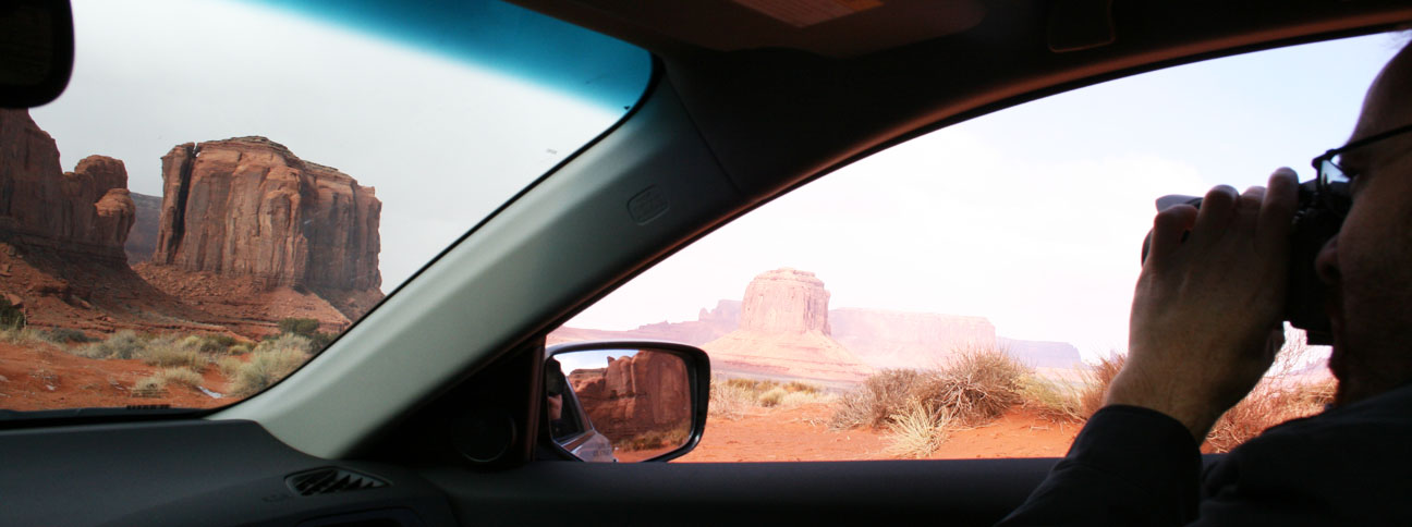
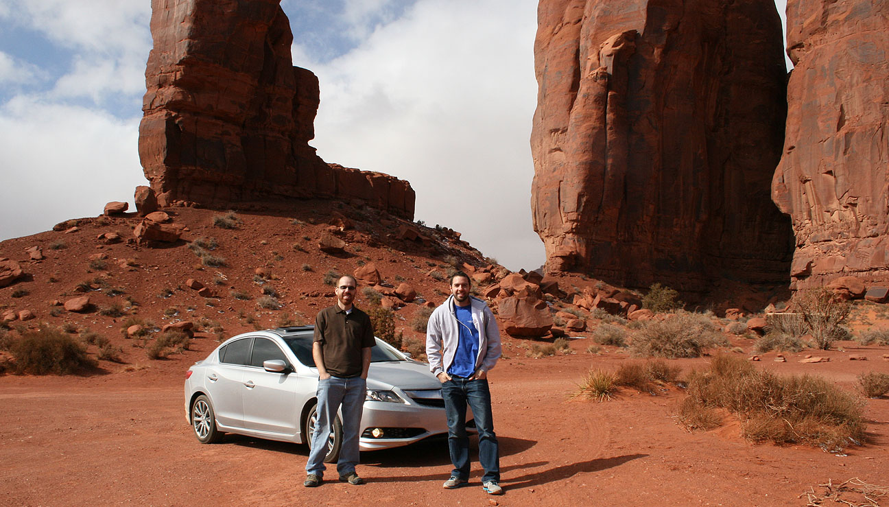
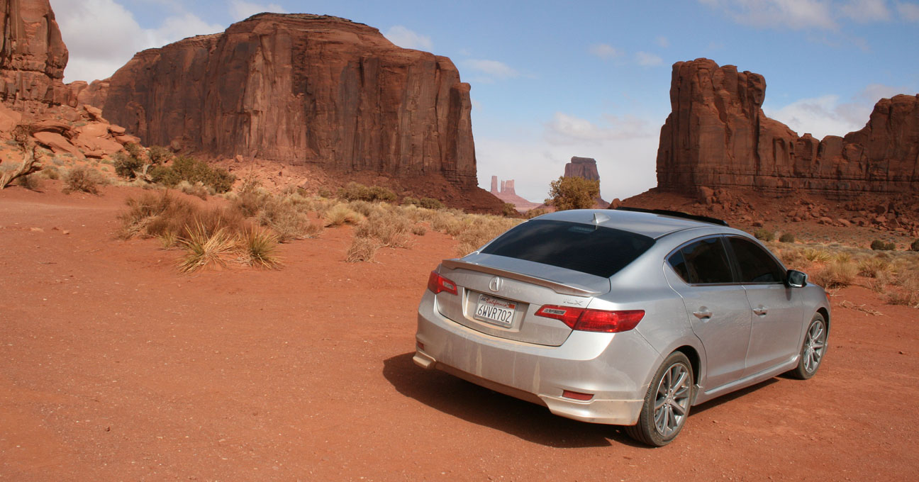
(7) Monument Valley
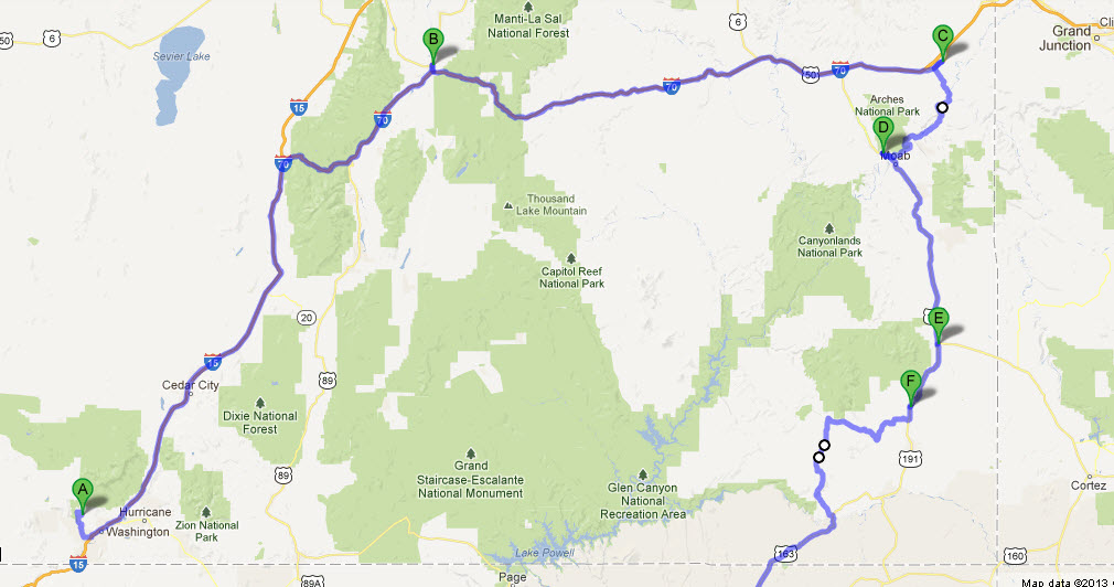
Our last destination was on Navajo land where we would see sandstone rock formations up to 1,500 feet tall. This map shows (location “A” – the red flag) where Monument Valley is located, at the Utah / Arizona state line.

About 10 miles after the Moki Grade we joined with Highway 163 and headed through the town of Mexican Hat, named for a rock formation that looks like a sombrero. I had stopped here in 2005 on a “Utah Tour” in the Legend.
June 2005 in the 1994 Legend LS Coupe

February 2013 in the 2013 Acura ILX
Not a lot has changed in 8 years!
Ryan took this picture while he was following me down this forever-long straightaway on Highway 163. They call this the “classic road shot.”

As I shared in a prior Drive to Five post, Monument Valley is my favorite place to drive. I took the Legend there in 2008. It was only $5 to enter the Monument Valley park – the rate hasn’t changed in the last 5 years! Monument Valley was established in 1958 as a preserved environment under the Division of Natural Resources.

Ryan opted to park the Audi and we took the ILX on the 17-mile dirt road which starts right off the Visitor Center parking lot. Road conditions were unfavorable thanks to some rocks and ruts, blowing sand and snowflakes at times, and temperatures in the high 20’s and low 30’s. But I carefully got the ILX through it. We got some funny looks from people in 4×4 trucks. But the scenery was unmatched! We saw these 11 landmarks and many others.
Another size comparison. Can you see me standing there in my blue hoodie? These sandstone cliffs make you feel absolutely tiny.

We saw a few rental cars out and about – Chevy Cruze, Ford Mustang, Dodge Avenger. But nobody else was crazy enough to take an Acura on a road like this, except for me.

We enjoyed the scenery from the comfort of our heated leather seats.


Ryan taking pictures from the passenger seat:

Here’s a video of the ILX coming up the last stretch on our return to the Visitor’s Center.
Thank goodness the ILX has over 6 inches of ground clearance, because I used up each and every one of them!
Homeward Bound
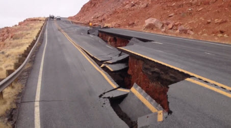
The remaining 320 miles home to Phoenix were nice and relaxing. Our next stop was in Kayenta – tiny little town with stray dogs running all over the place. Interestingly enough, the Burger King there was the nicest BK I’ve ever been to. We topped off our tanks at Chevron and then headed on Highway 160 westbound toward Hwy 89. There was not any noticeable “extra traffic” due to the detour of 89 from further north (cracked highway near Page) that was sending people our way.
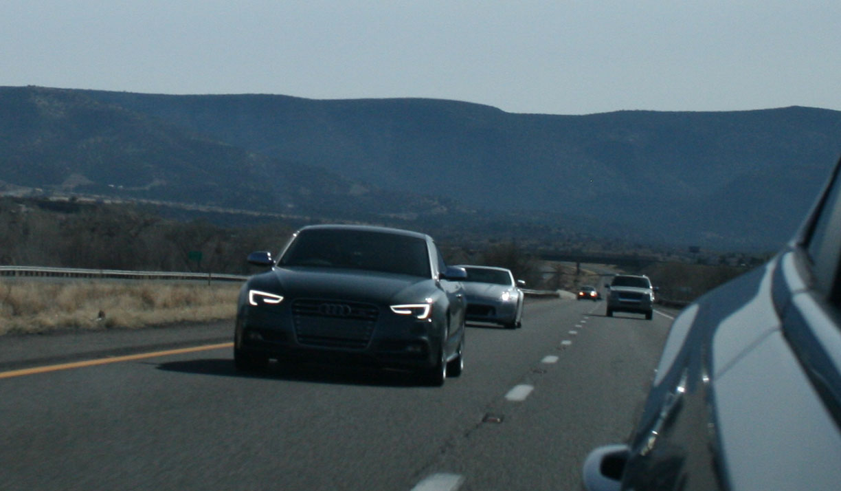
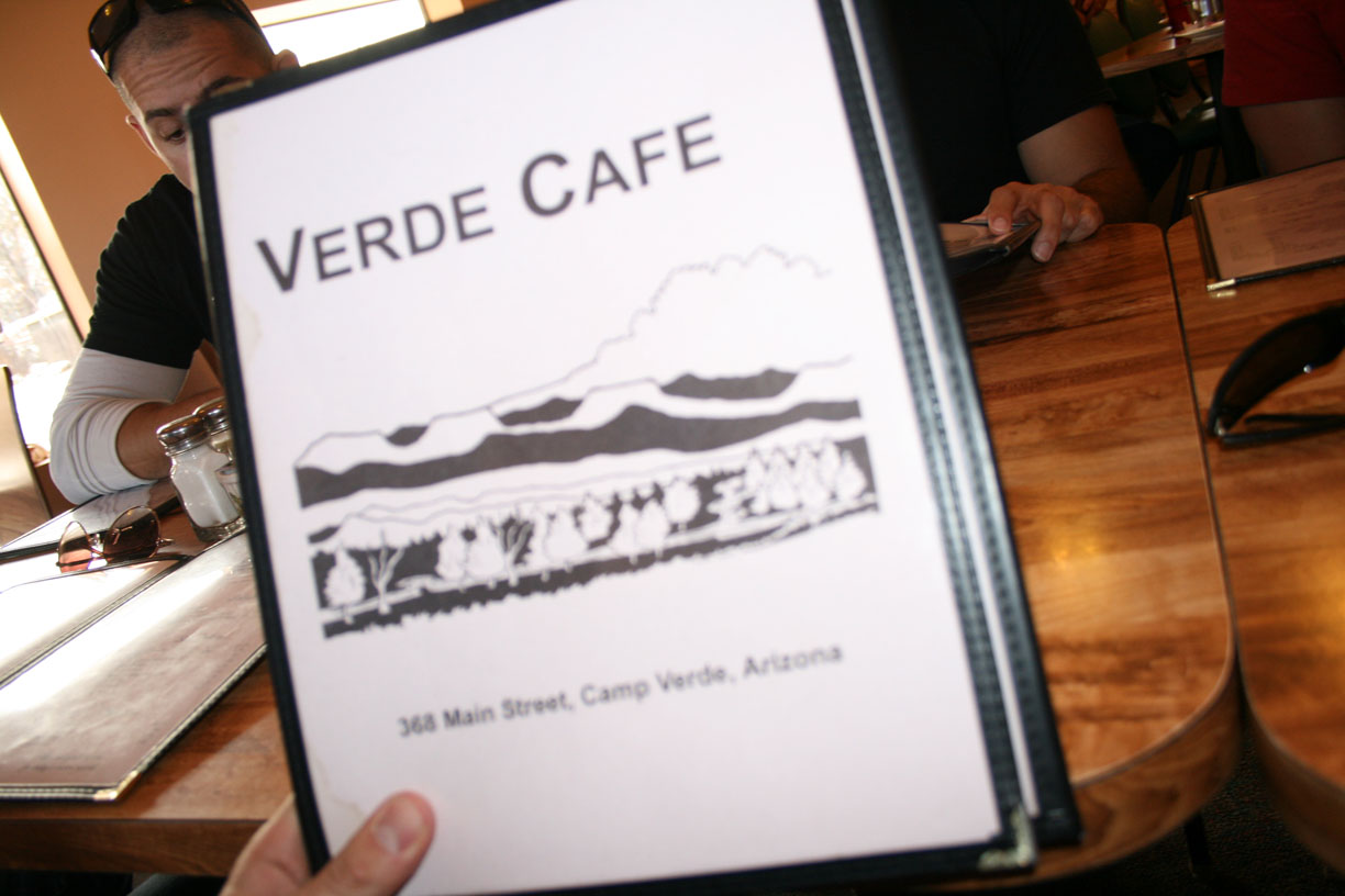
We had snow flurries off and on until the junction past Tuba City where 160 meets 89. Then Ryan followed me the remaining 14 miles to the Cameron Trading Post next to the bridge. He took Hwy 64 to the south rim of the Grand Canyon. I was on my own after that – only a short stop in Flagstaff to top off my tank, then homeward bound. The storm clouds at 7,200 feet in Flagstaff weren’t dropping much snow, thankfully. I’ve never been so glad to see 50 degrees on the external temp readout before – that happened in about Camp Verde, Arizona on I-17. It was great to be home!
Coming Attractions
I’ve got a trip planned to New Mexico in 10 days, and I received approval for some time off in August to go to the National Acura Legend Meet (NALM) in Asheville, North Carolina. This’ll be a fun 3,960-mile trip!