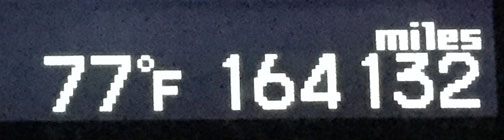
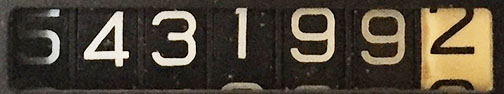
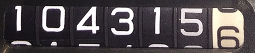
Odometer: 167,325
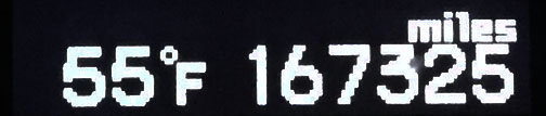
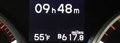
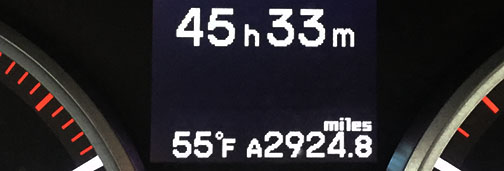
Day Distance & Time: 701 Miles; 12 hours, 11 minutes

Overall Trip Distance & Time: 3,626 Miles; 57 hours, 46 minutes

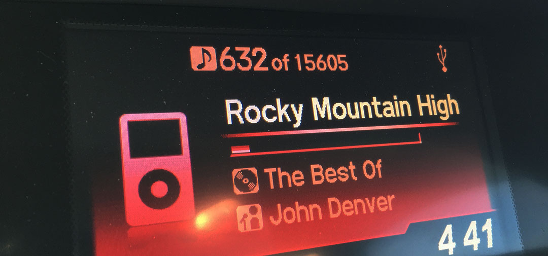
The Land of the Midnight Sun, they call it. Around June 21, the sun will be visible here in Fairbanks for all 24 hours of the day. As of right now, a few weeks away from that, I can tell you that it’s midnight and I’m looking out the 2nd floor window of Super 8 and it’s nowhere near getting dark yet. I guess the daylight trickery was part of the reason why Jason and I felt motivated enough to chug through a few extra miles this evening and get us to our final destination. We logged in a total of 701 today, which beat our last couple days’ worth by quite a bit. The crazy part is that today we also experienced more construction and weather-related delays than any other leg of the trip.
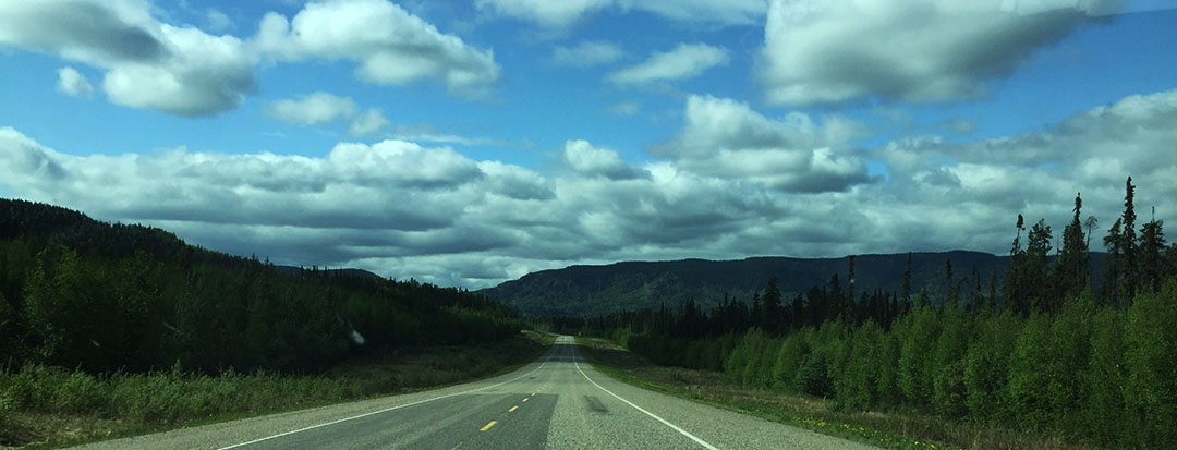
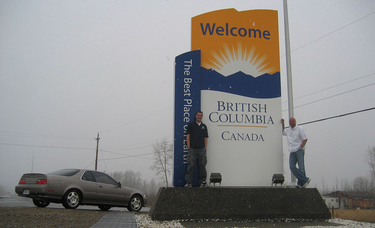
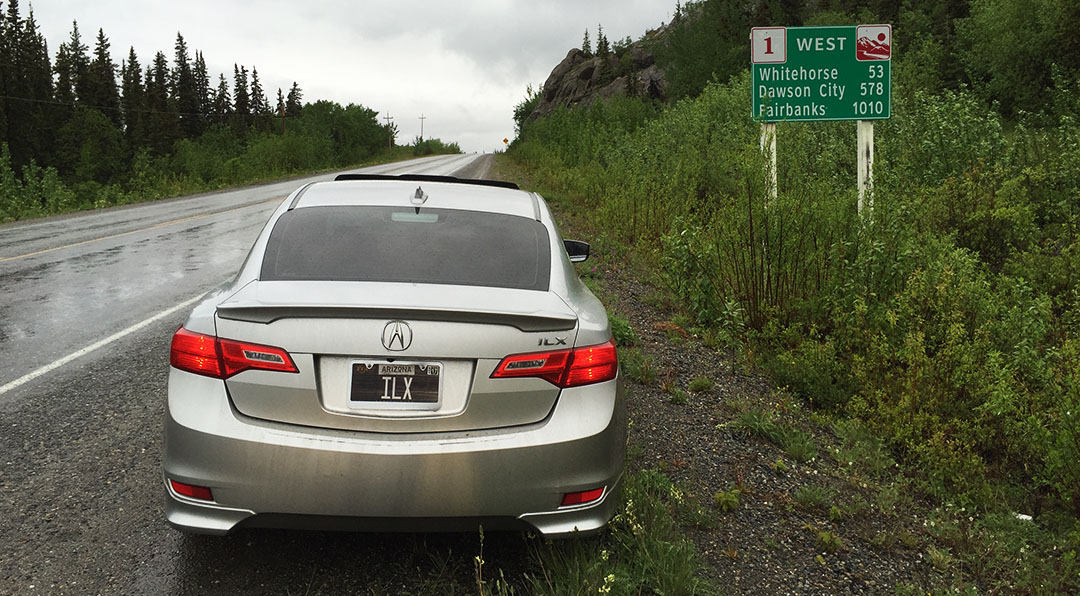
It all started at our quaint cabin in Teslin, Yukon where we headed out northbound on British Columbia Highway 97. We passed a distance marker that gave us the remaining distance to Fairbanks – a staggering 1010 kilometers. I didn’t think in a million years we’d actually end up going that far today, but we did.
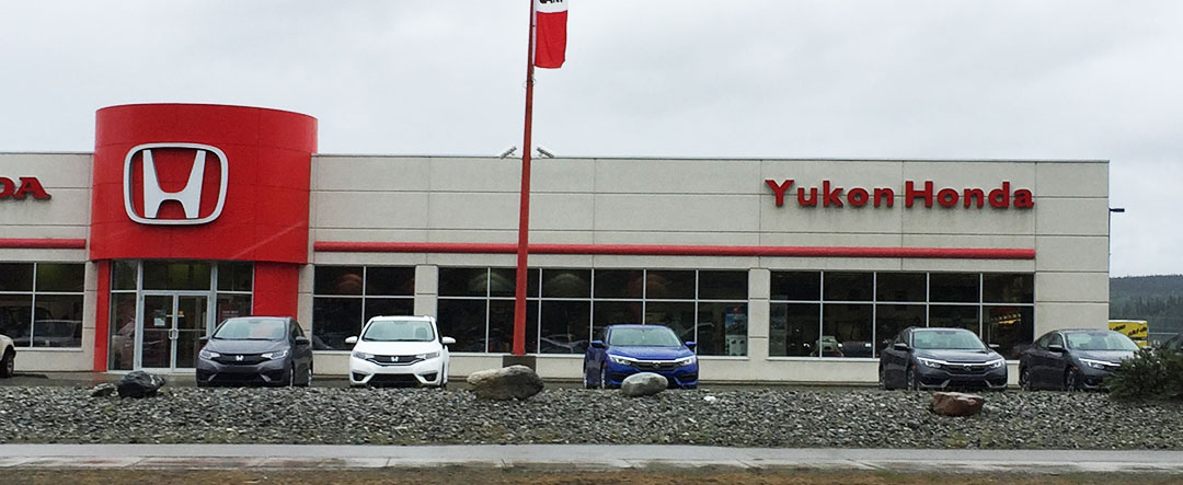
It only took us about 90 minutes to get to the capitol of the Yukon Territory: Whitehorse. It’s a surprisingly large and modern city (pop. 23,000) for being in such an extreme region of the world. They even have (and thanks Jason for noticing from a mile away) a full-blown Honda dealership there. With a red (instead of blue) sign!

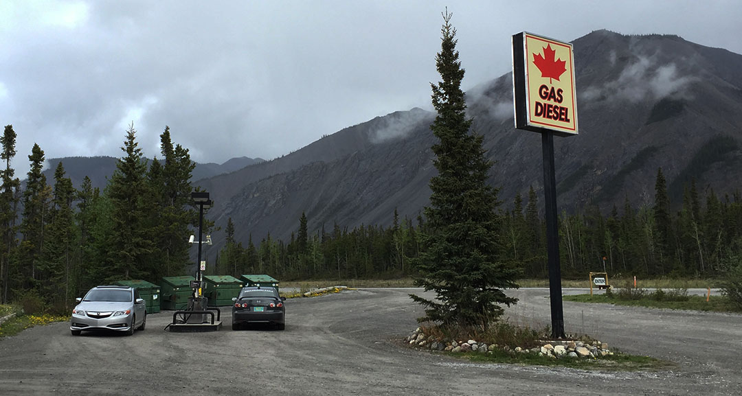
We fueled up at Petro Canada down the street and switched the wipers into high gear to fight rain showers all the way to Haines Junction where they finally let up a bit. Neither one of us had a huge appetite but we did need to use the restroom. We opted to pull a roadside bathroom break in the trees when we saw that the Alcan Motor Inn had no public washroom.
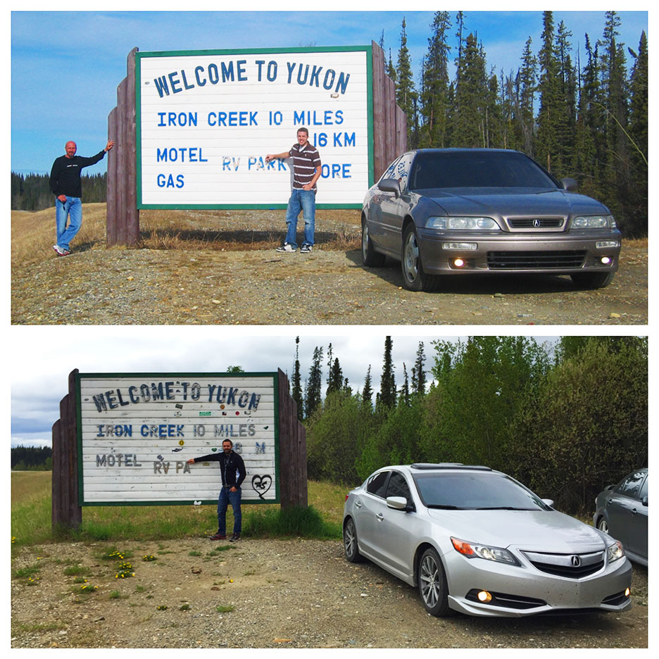
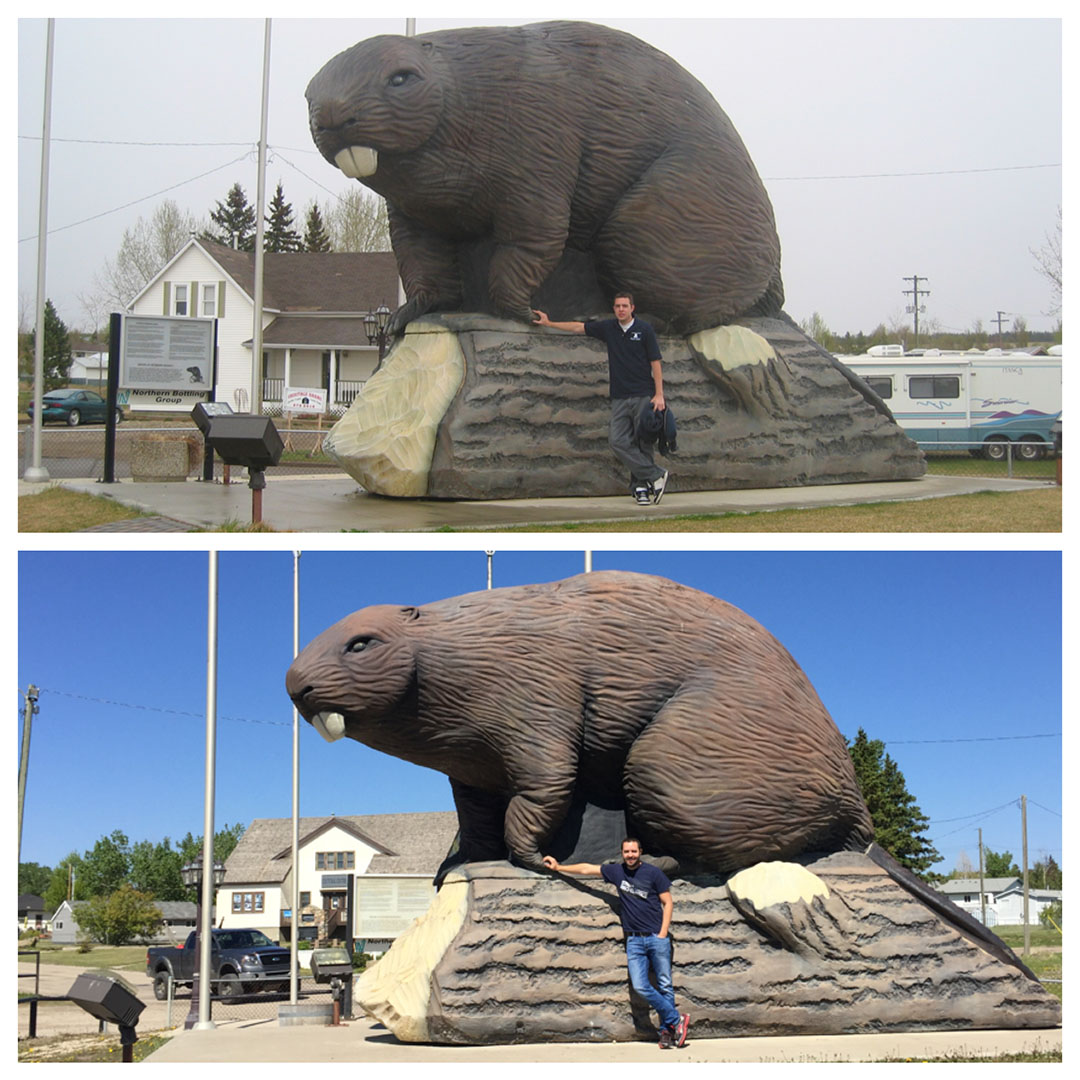
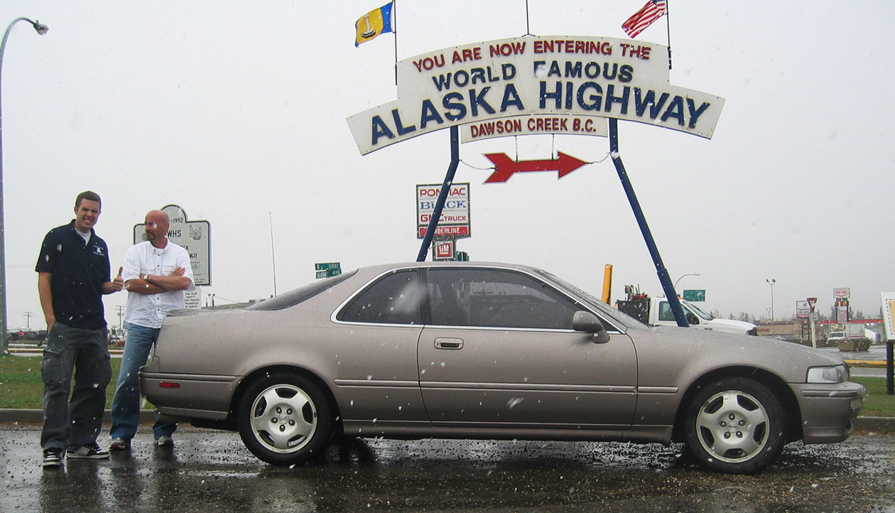
Photo re-create!
2006:

2016:

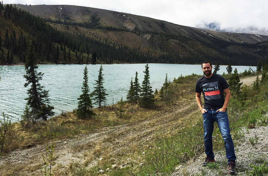
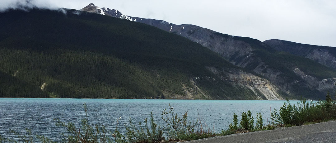
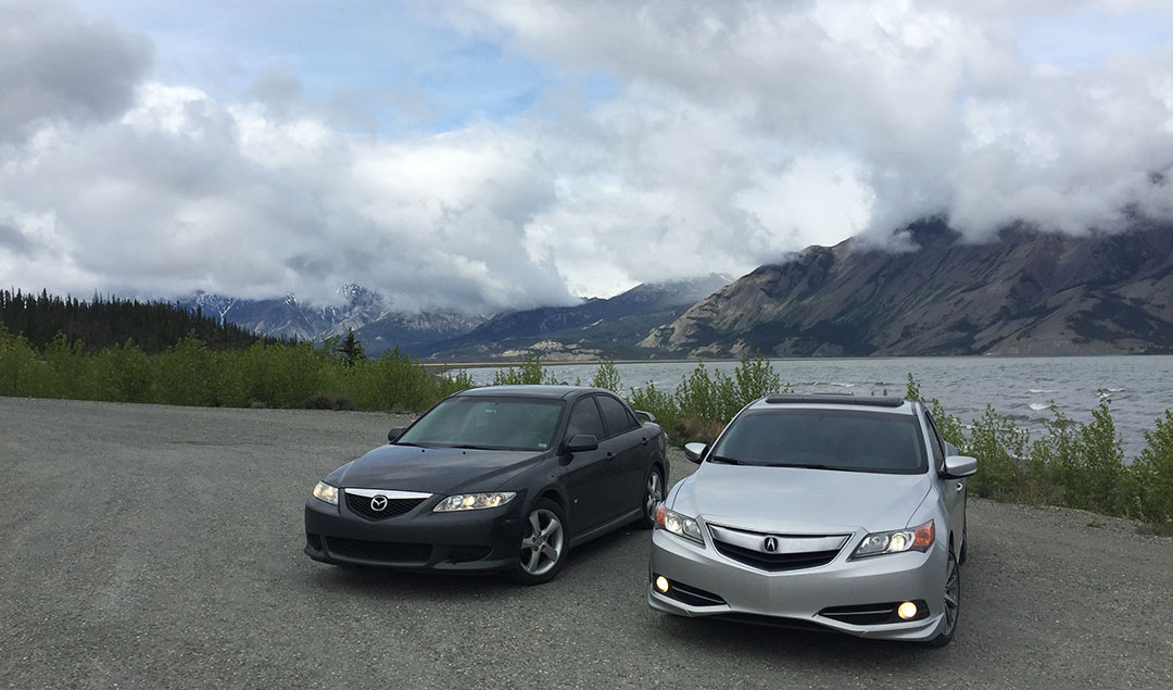
The external temp readout on the ILX showed a chilly 40 degrees outside as we made our way north-westward toward Kluane National Park and Reserve, home to the Yukon’s largest lake. The clouds began parting just enough to allow us to see a hint of blue sky as we parked the cars along the shoreline for a quick photo in the near-freezing wind. I was surprised at how large the waves in the lake were.
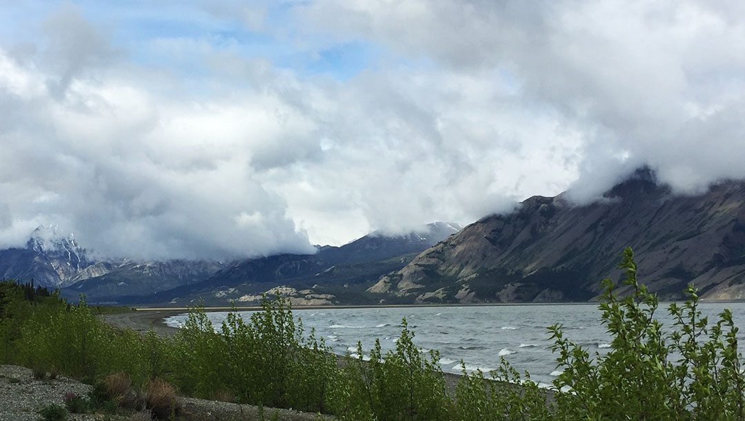
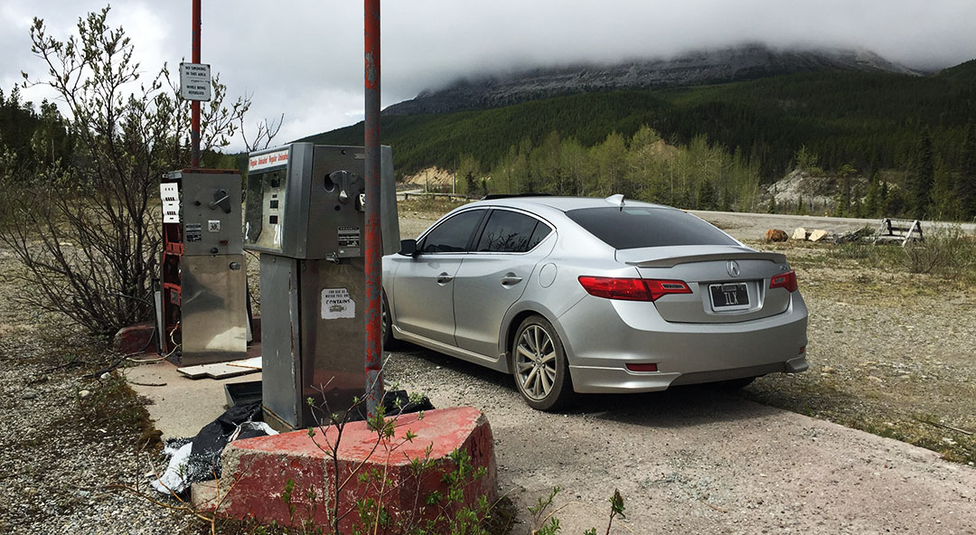
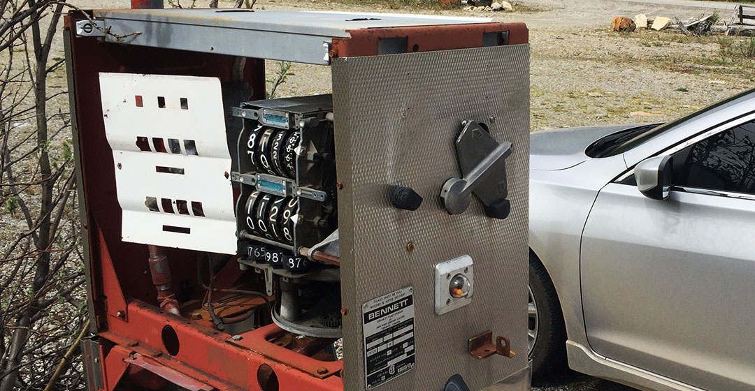
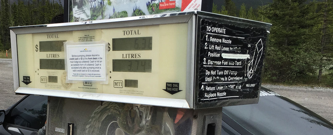
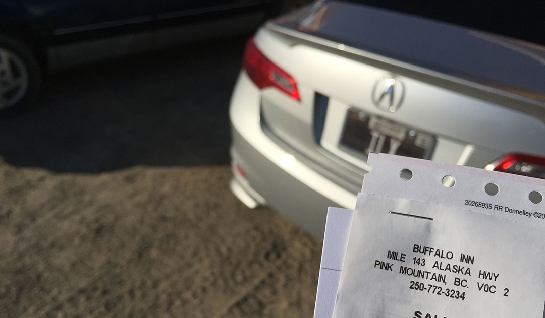
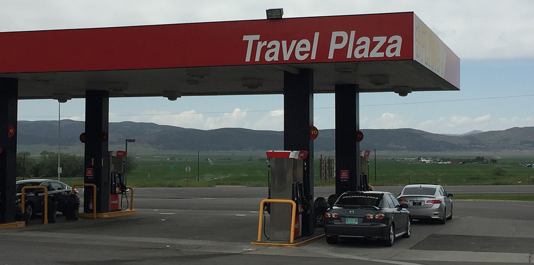
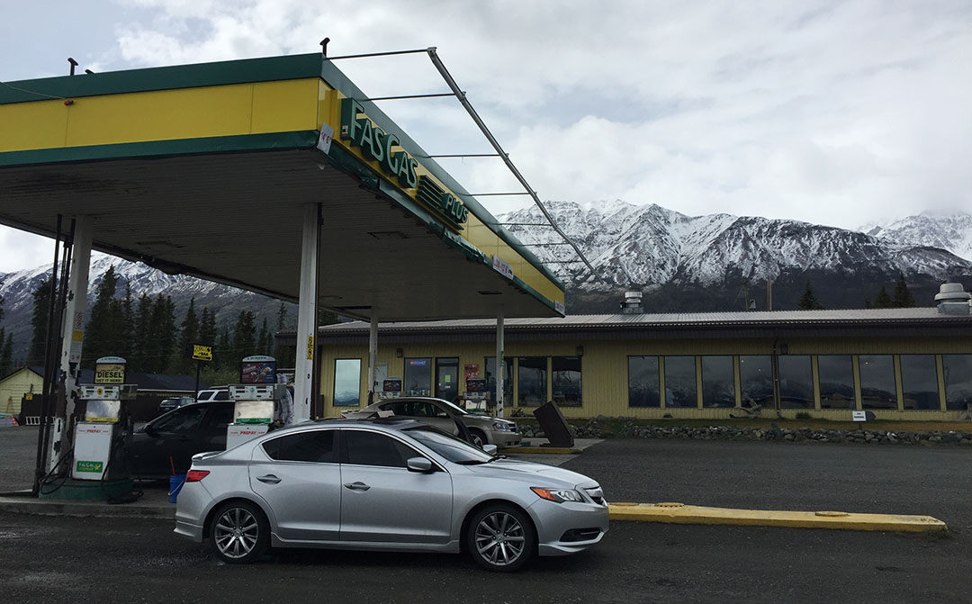
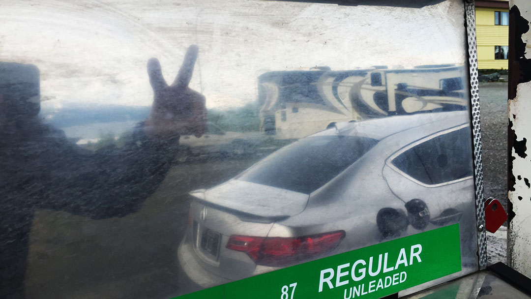
From our vantage point on the southern shore, it sounded a lot like the ocean. As we closed in on ½ tank fuel remaining, I decided it was best that we again top off, so we visited Fas Gas in “Destruction Bay” for some 87 octane fuel. The attendant inside had to activate the ancient pumps for us. He had a cork board hanging behind his counter where he’d clip the credit card according to pump number to keep them in order. He wasn’t very chatty but I didn’t care for small talk anyway; we had places to go yet.
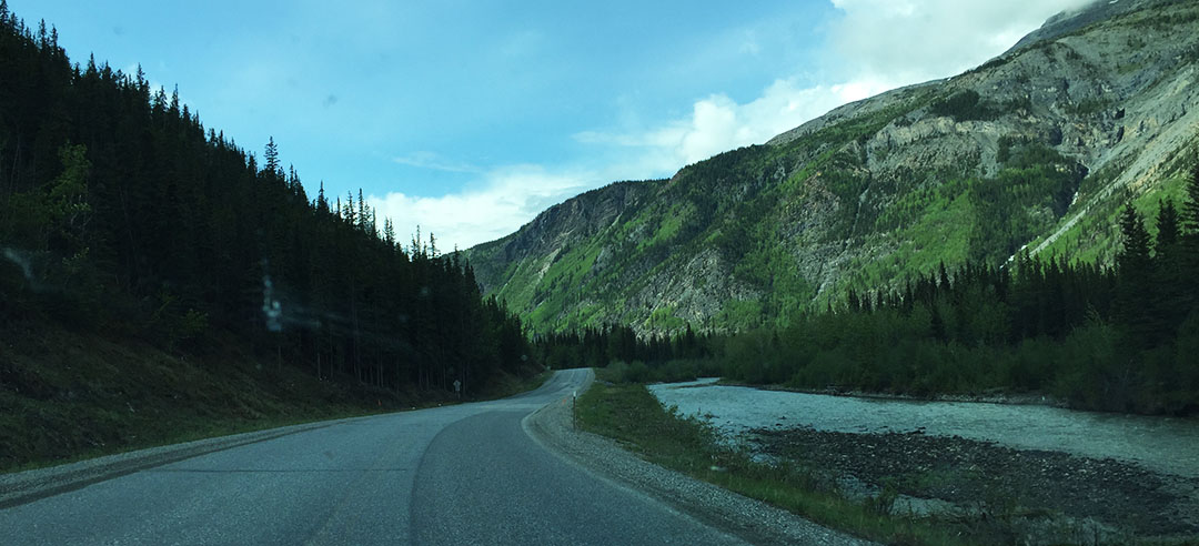
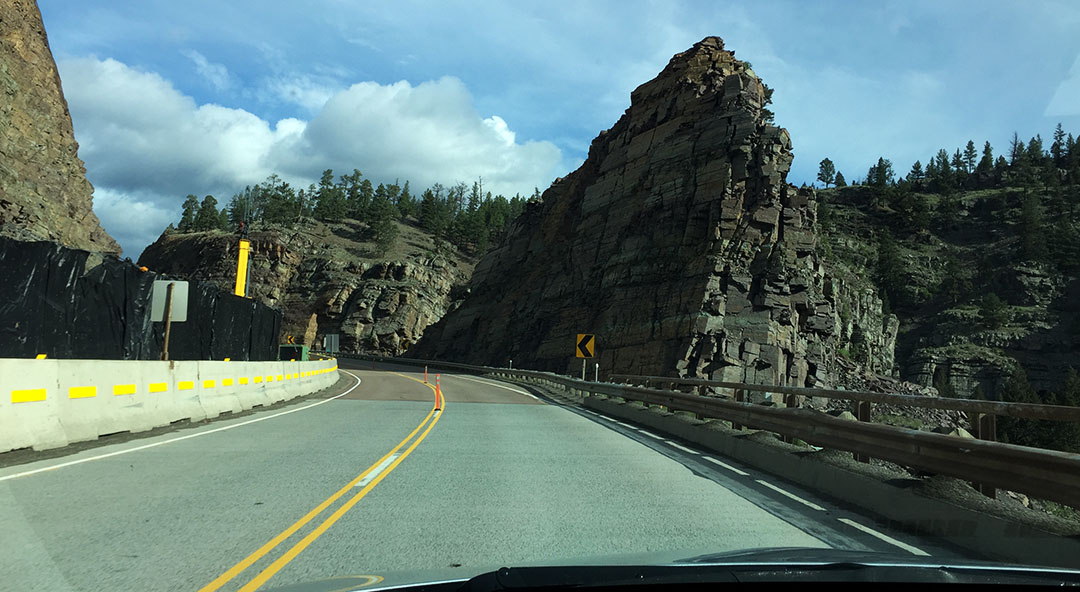
A couple of things happened around that time: The road got really bad, and the scenery got really good. Clouds parted and we now had a perfect view of the huge snow-capped peaks surrounding us. Traffic was so light I was able to park the ILX in the middle of the road and take a picture of it.
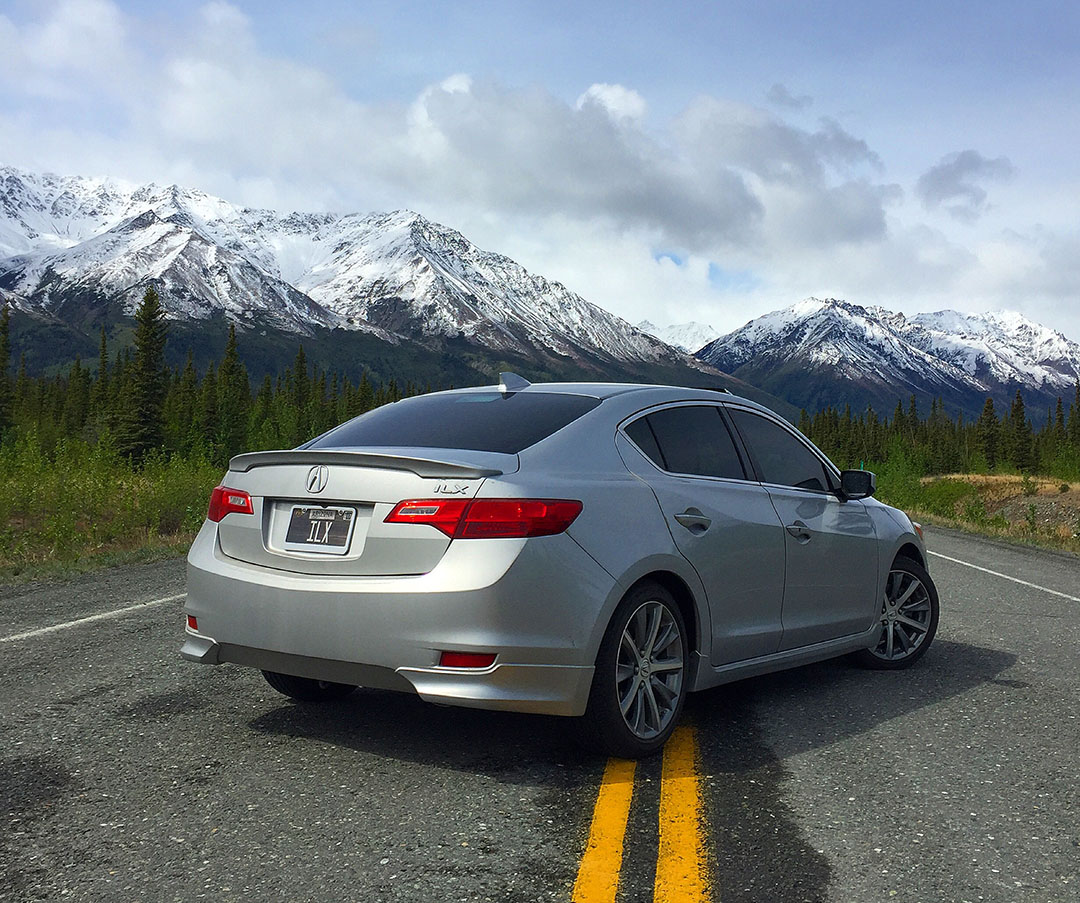
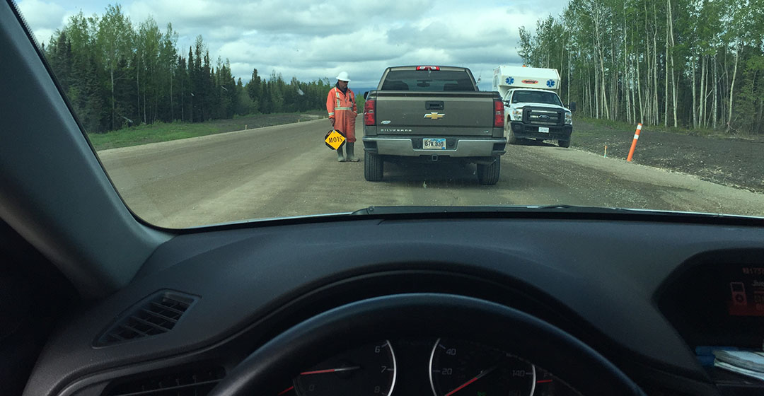
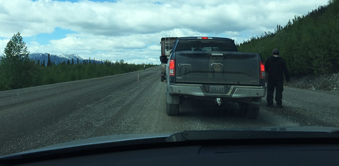
The roller-coaster ride for the remaining 115 or so miles to the U.S. border gave my car’s suspension a serious workout. I think I caught air on at least one occasion. And then there was the construction. At one point, we had to wait several minutes for a pilot car to come get us and lead us through a muddy stretch of road. Meanwhile all I had to do was look at the scenery around me to realize that I didn’t care about the delay at all.
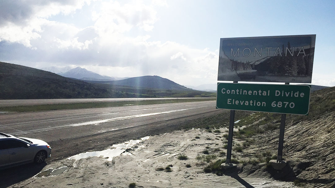
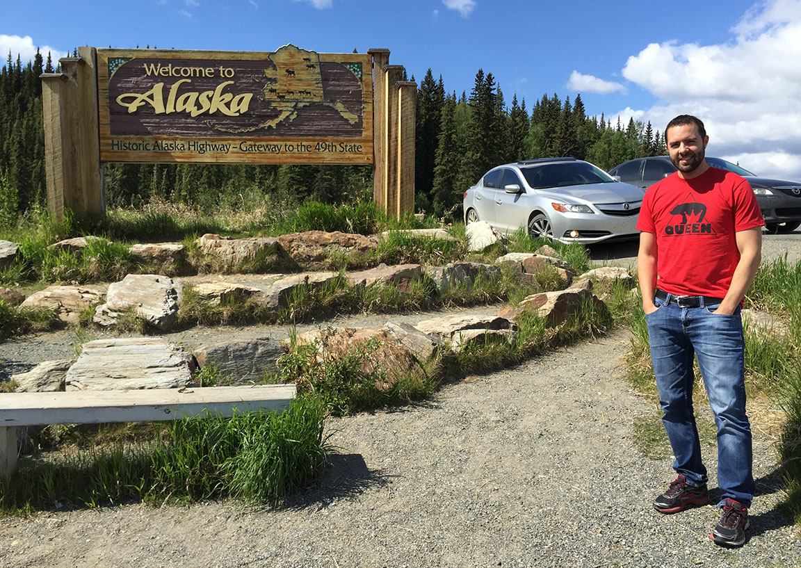
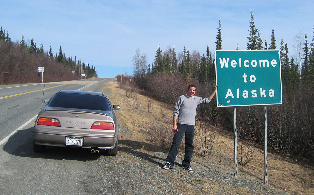
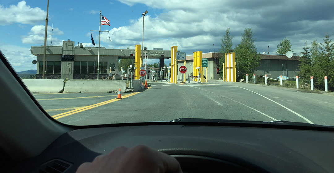
Beaver Creek, Yukon was the last stop before entering the U.S. of A. The eastbound Canadian Customs checkpoint was a full 30 kilometers separate from the westbound U.S. Customs checkpoint. And the actual “Welcome to Alaska” sign is actually a bit before the Customs station. Odd layout, but I guess it works! As Jason and I communicated via walkie talkie, there was a definite sense of glee as we both saw the wooden sign coming up. We’d driven a very long way for that occasion. In my case, a total of 3,333 miles since I’d left my driveway last Friday morning. We staged a few photos and pressed on.
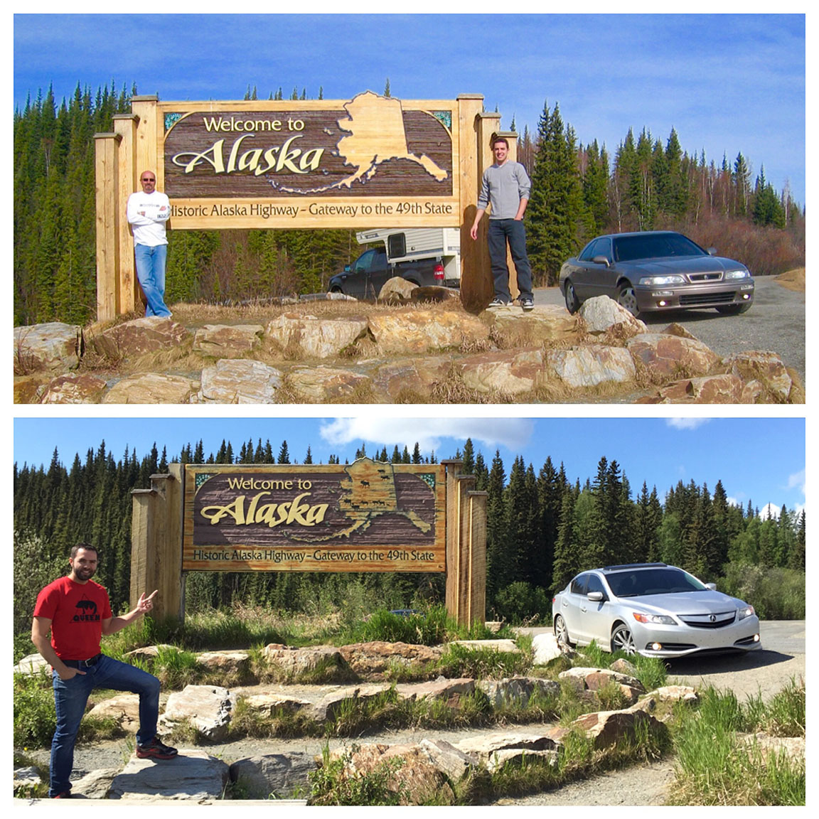
This sign, by the way, has been removed sometime in the last 10 years! I was so bummed!
Now we “gained” another hour, putting us an hour behind Pacific.

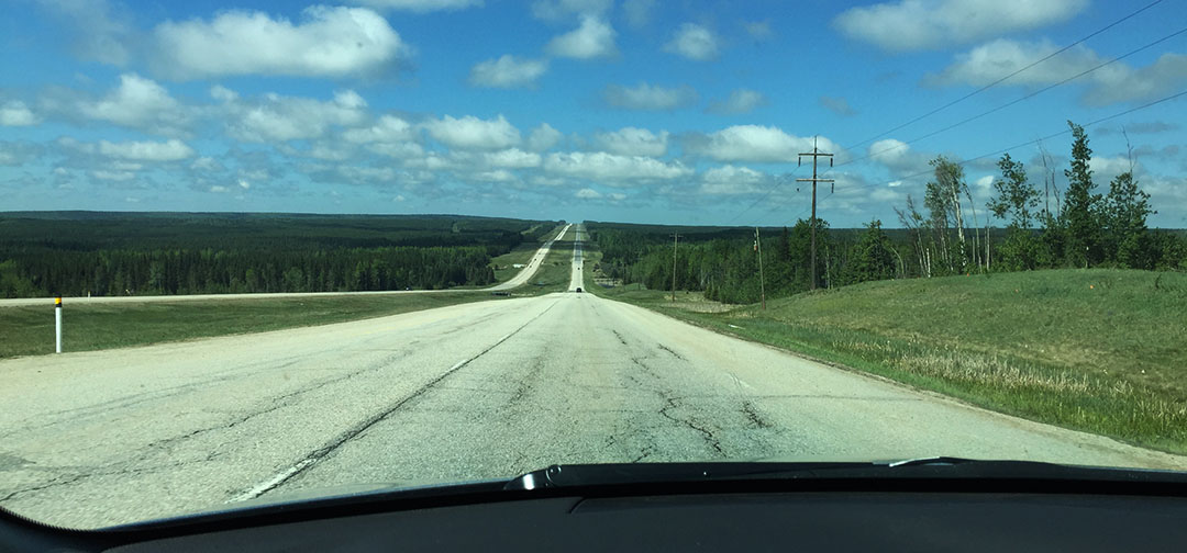
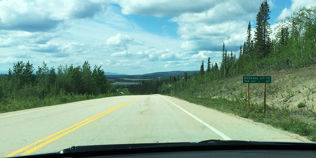
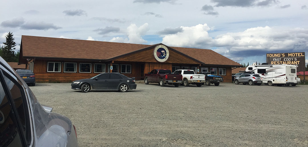
I was ready to stretch legs and get out of the car (permanently?!) by the time we got to Tok – just starting to feel a little overwhelmed when I thought about how far we’d come, and also how far we had yet to go (a couple hundred miles). But after a burger at Fast Eddy’s, I was feeling a little more motivated. The U.S. road conditions were only marginally better than Canada’s. The presence of road markings was at least consistent.

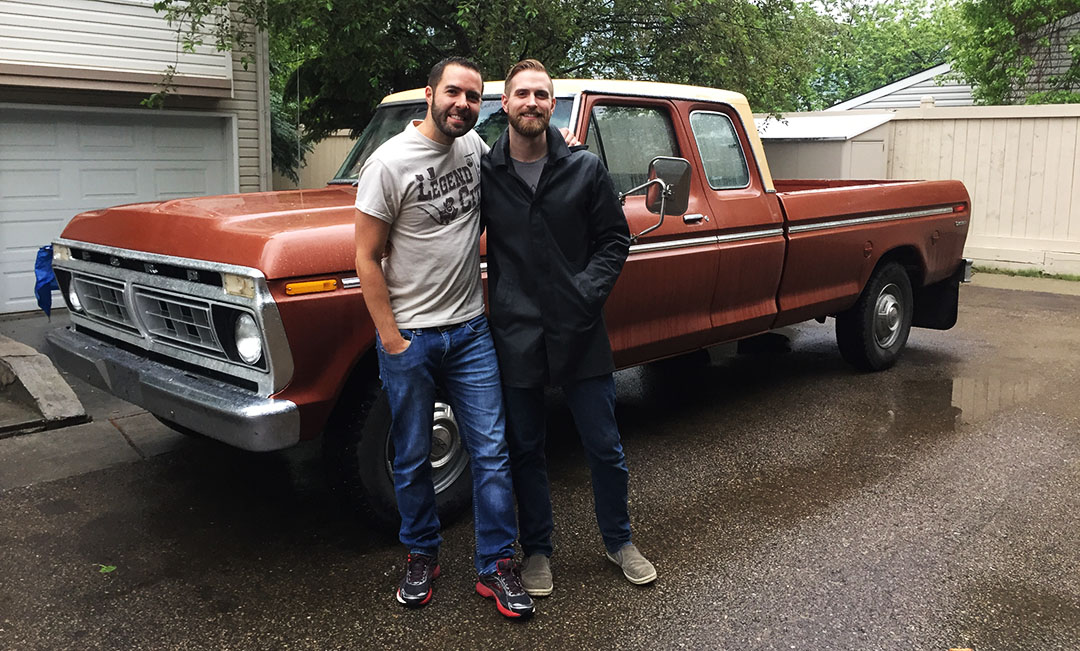
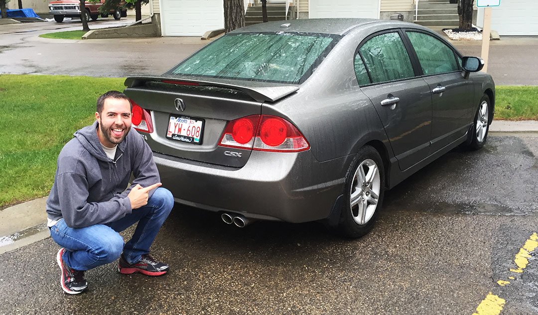
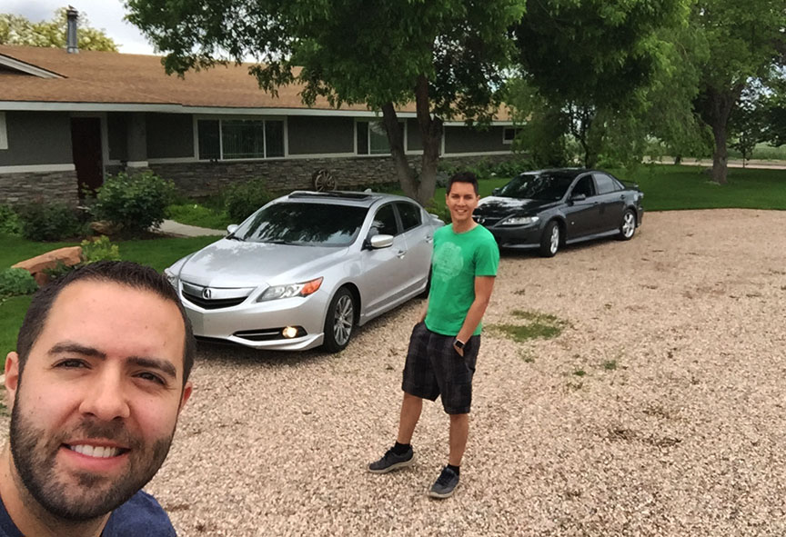
We got to the “official” end of the Alaska Highway in Delta Junction (1,422 miles since Dawson Creek, British Columbia) and there was surprisingly little fanfare. I nearly blew right past the Visitor Center, in fact. We staged a couple of re-creation pictures once again (above). Did you notice I’m even wearing the same sweater in both?
I also learned some history about the road itself. A wooden sign reads:
This highway was constructed during World War II as a military supply route for interior Alaska Military and Airfields in 1942. 7 Army regiments and 42 contractors and public roads administrators working from Delta Junction South and Dawson Creek North completed it when they met at Soldiers’ Summit at Kluane Lake, Yukon Territory in November 1942. At the peak of construction, 77 contractors employed 15,000 men and 11,000 pieces of road-building equipment. The total construction cost for 1,422 miles was $115,000,000.
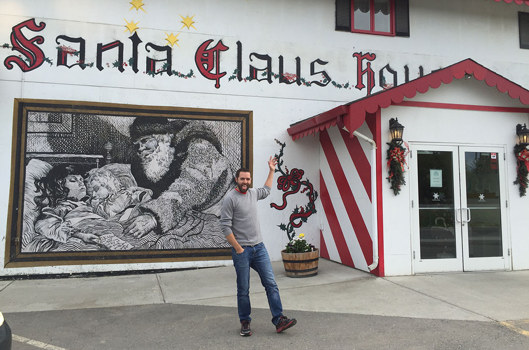
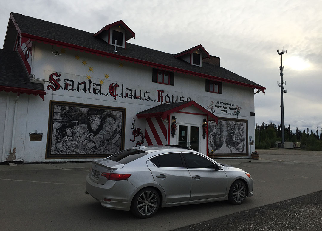
By this time I was in a “GIT ‘R DUN” mindset so Jason and I both decided, in looking at the lack of quality motels in Delta Junction, that we might as well press on and head to our finish line in Fairbanks – only 95 more miles down the road. And that we did! Stopping just briefly in North Pole for (of course) a picture at the Santa Claus house.

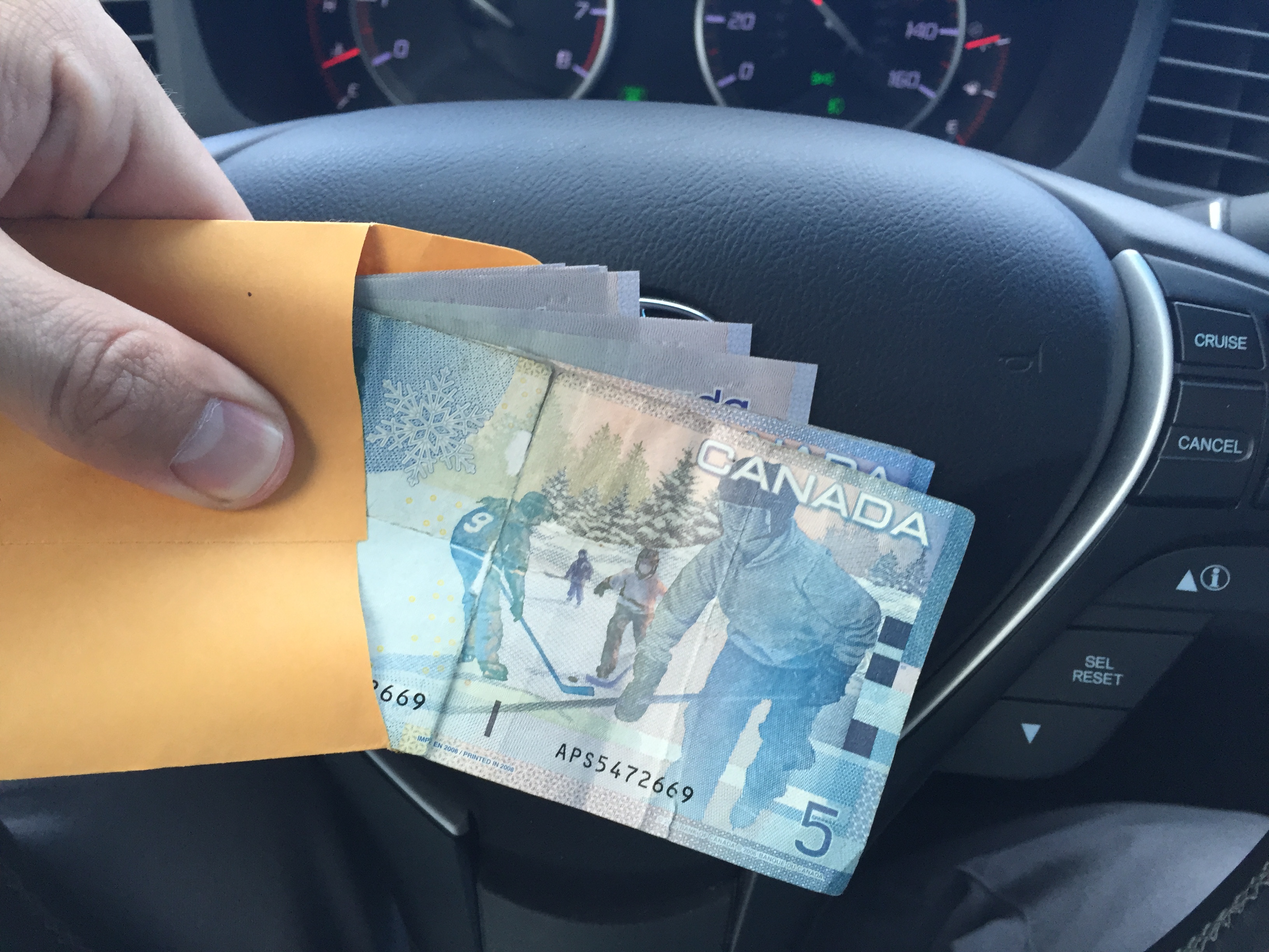
When my dad and I stopped here in 2006, I bought the deed to 1 square inch of North Pole land for $5. I should see what my property’s worth in today’s real estate market up here.
And now it’s time for us (and our trusty vehicles) to get some much-needed rest. Let’s see where the trip takes us from here. Jason has just notified me that the Arctic Circle entrance sign is just 5 hours north of us on the Dalton Highway toward Prudhoe Bay. Ten hours round trip for a sign? It’s tempting :).
Thanks for coming along!
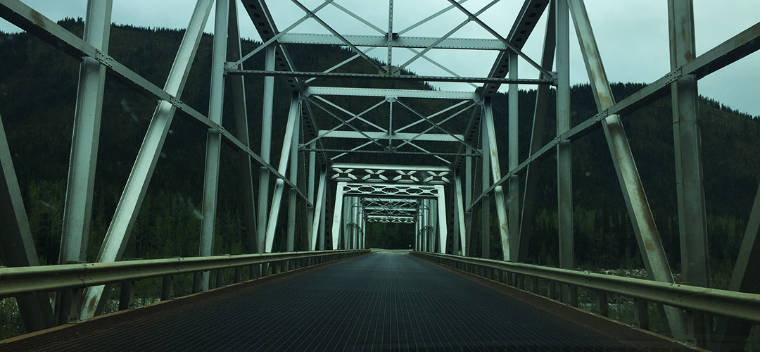
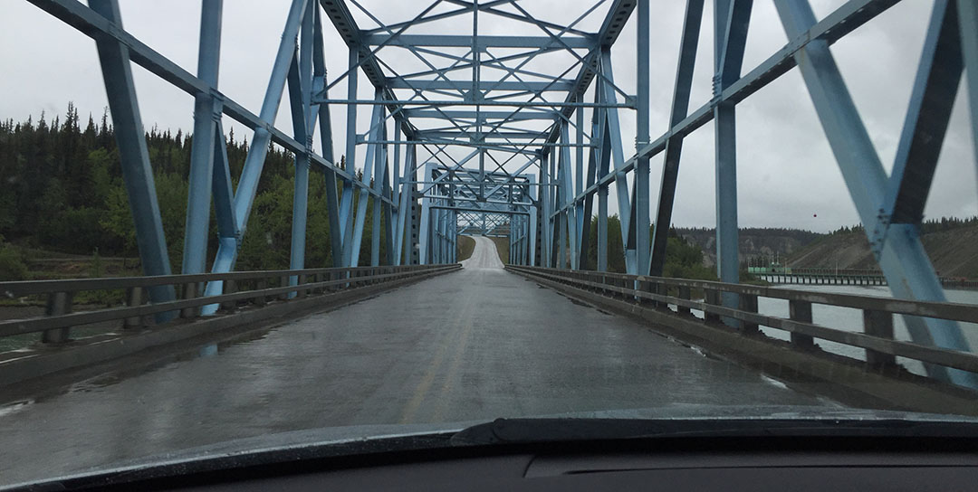
Bridge in the Yukon this morning
Fueling up at Petro Canada in Whitehorse, YT

Yukon Honda!
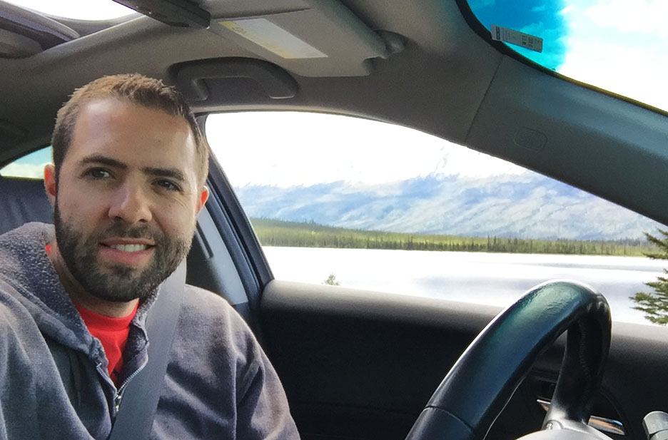
I pulled up the satellite view of our location at one point
Kluane Lake, YT, in the background
Driving through Kluane

Peace sign as reflected in this ancient gas pump, filling my car with some 87 octane.
Views for days


Construction zone (one of several)
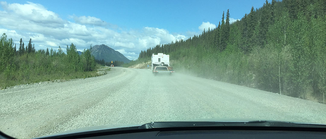
View as I waited for a pilot car at a construction zone. Not bad.

My home away from home!
Beaver Creek: “Most Westerly Community in Canada” – just prior to the Alaska state line

Quick stop at Beaver Creek
Approaching U.S. Customs

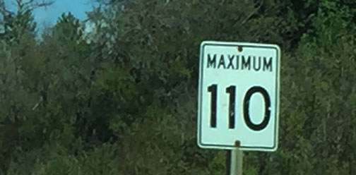
Yay! Back to miles instead of kilometers

U.S. roads ahead
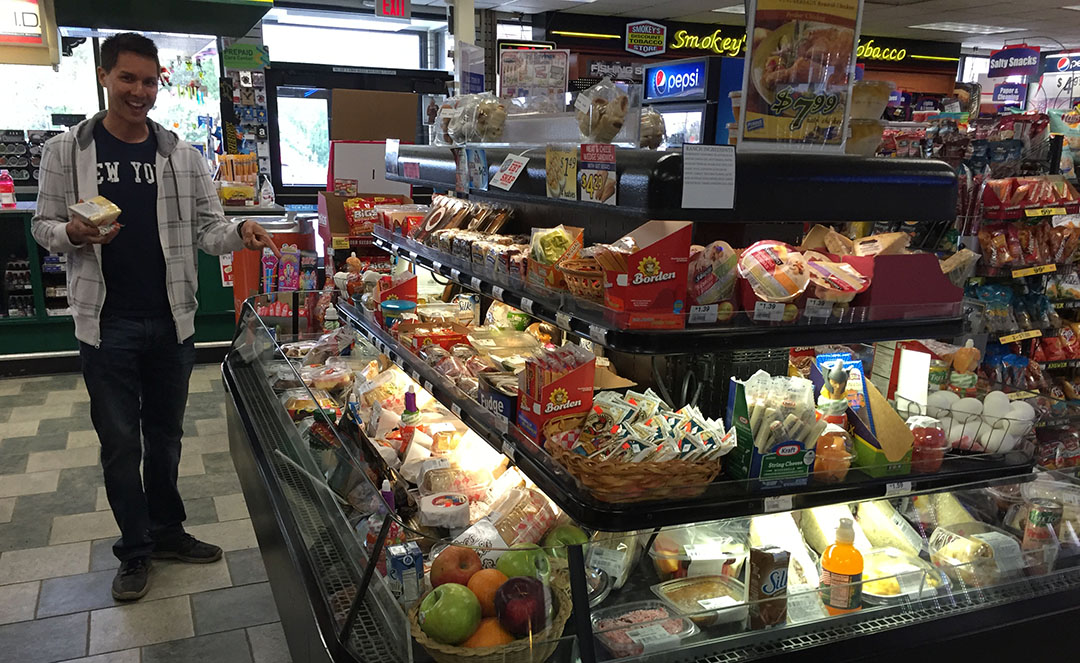
90 octane was considered “V Power” in Tok, Alaska

Fueling up in Tok

Leaving our lunch spot in Tok: Fast Eddy’s
ILX at Santa’s house. Have you all been good this year?

I should pick up a load of goodies for some friends back home.
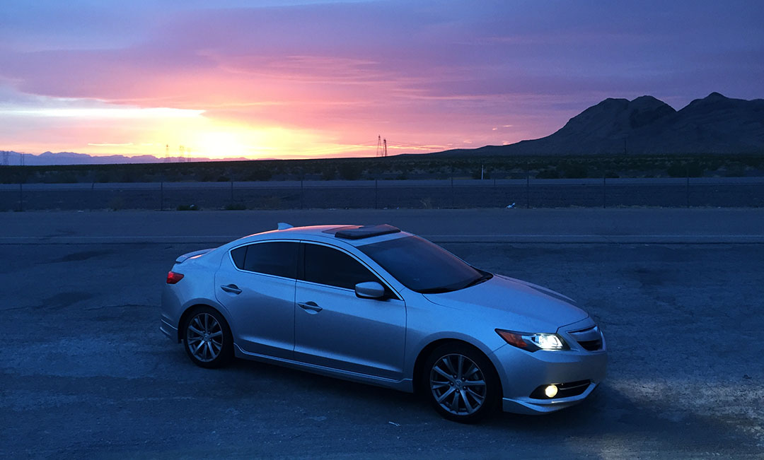
Fairbanks upon our arrival.

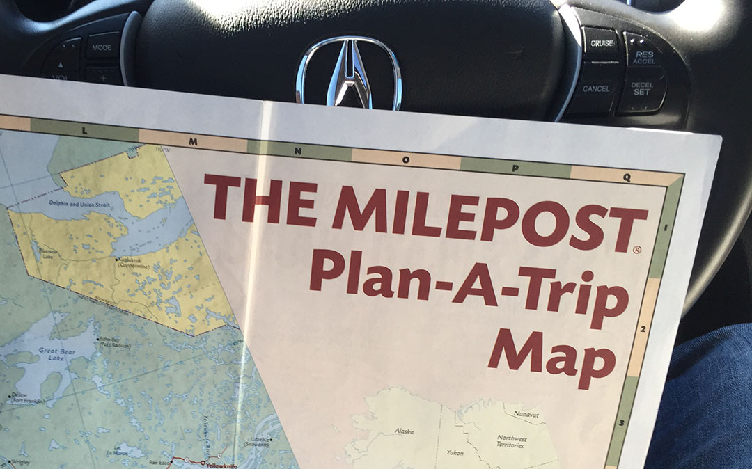
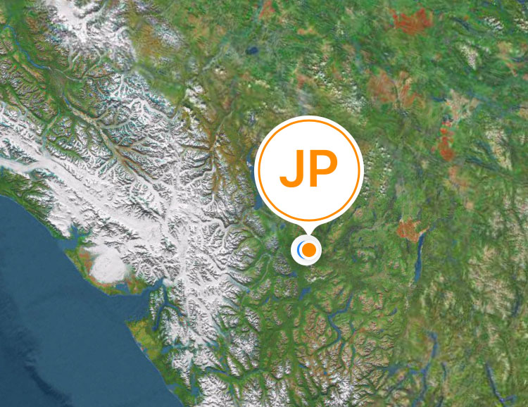
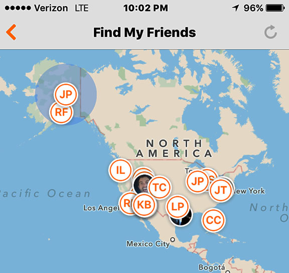
Fun to see my friend map and know that I’m way up here!
G’nite and thanks for reading!