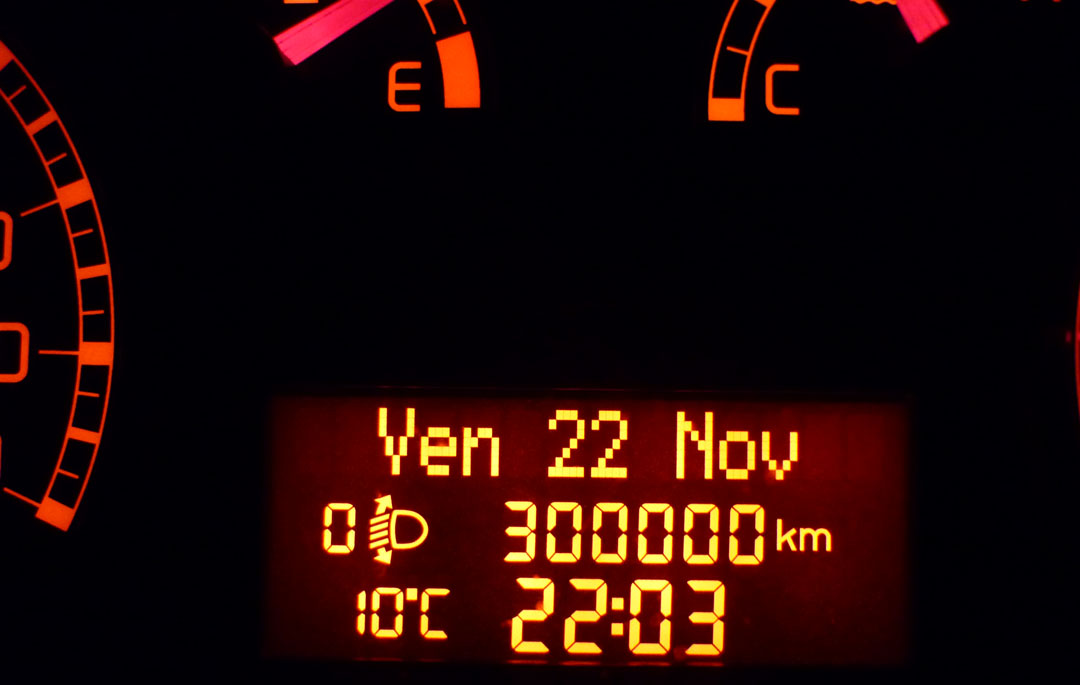
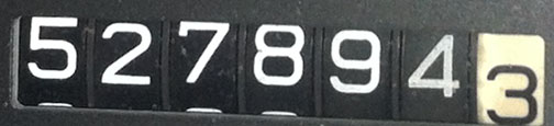
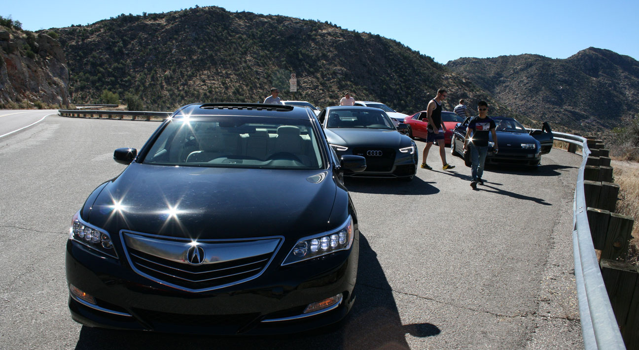
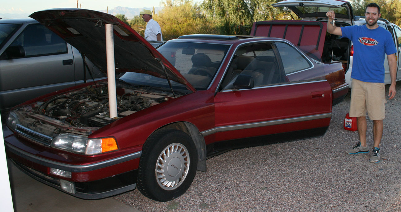
Odometer (Legend): 528,062

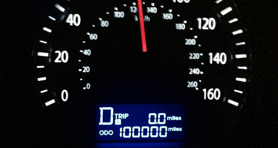
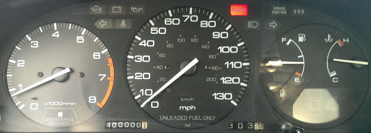
Odometer (ILX): 61,263

It’s tradition in my family to do a little hiking each Thanksgiving weekend. Even though I lived in St. George, Utah for almost 10 years, I had never heard of “Shinob Kibe.” The name comes from a Paiute Indian deity who was considered protector of the tribes. From what I’ve been able to learn, Shinob means “great spirit” and Kibe means “mountains.” The butte that we climbed also has significance in aviation history:
Back in the 1930s, the Civil Aviation Authority was trying to figure out a way to help guide the small mail-carrying aircraft that were traveling between Los Angeles and Salt Lake City. A series of concrete navigation arrows were constructed on the ground at 10-mile intervals throughout the length of that trip. The concrete arrows are still in place today. From overhead, they look relatively small, but they are actually 70 feet in length.
Each arrow had a 51-foot-tall steel tower constructed next to it. A (one-million-candle-power!) rotating beacon at the top of the tower would illuminate the arrow. More on this here:
Even the dumbest of air mail pilots, it seems, could follow a series of bright yellow arrows straight out of a Tex Avery cartoon. By 1924, just a year after Congress funded it, the line of giant concrete markers stretched from Rock Springs, Wyoming to Cleveland, Ohio. The next summer, it reached all the way to New York, and by 1929 it spanned the continent uninterrupted, the envy of postal systems worldwide.
This is a map of what that network of arrows looked like at one time.

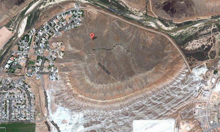
Here’s the navigation arrow that we hiked to on Shinob Kibe, as seen from Google satellite images:

The hike itself was relatively short but the elevation gain was intense, with a climb of about 750 feet in less than one mile. When we made it to the summit, it was a special feeling to stand on that historic arrow and recognize its importance. There was a log box there where we signed in with our names & the date.
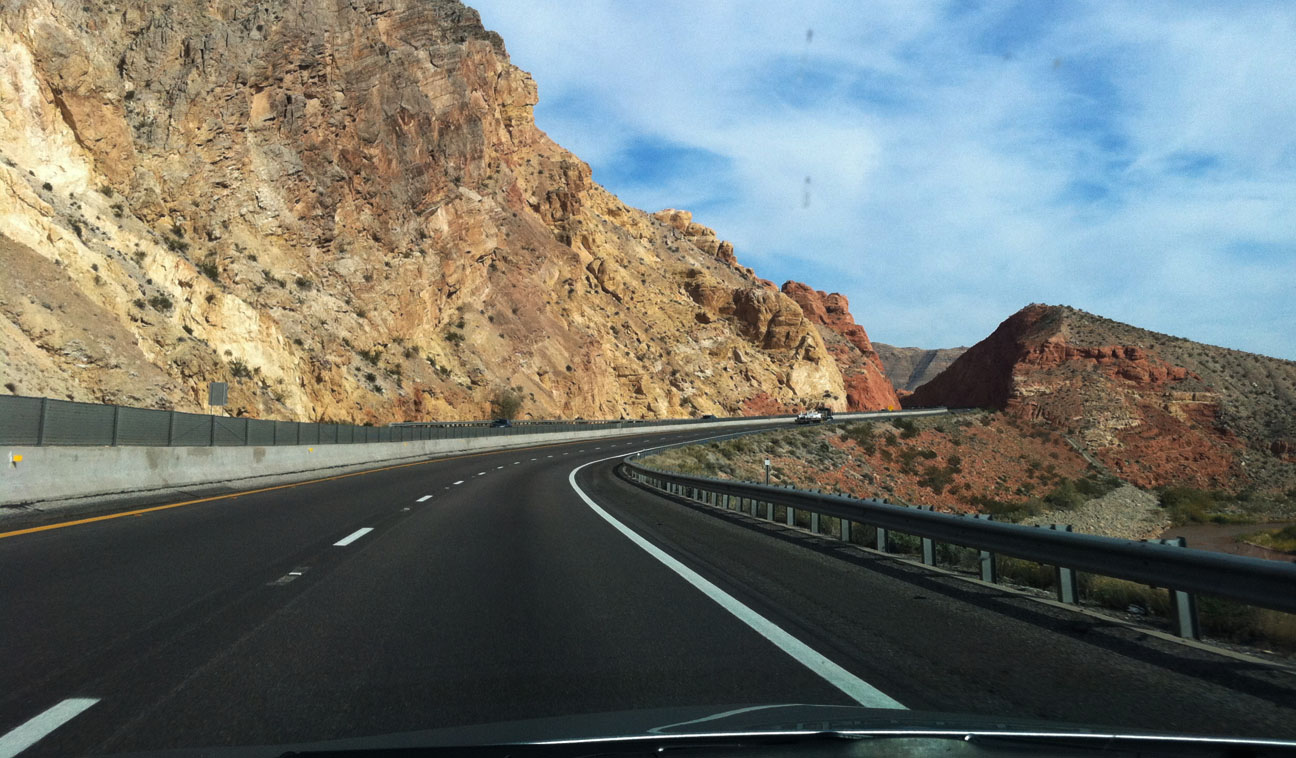
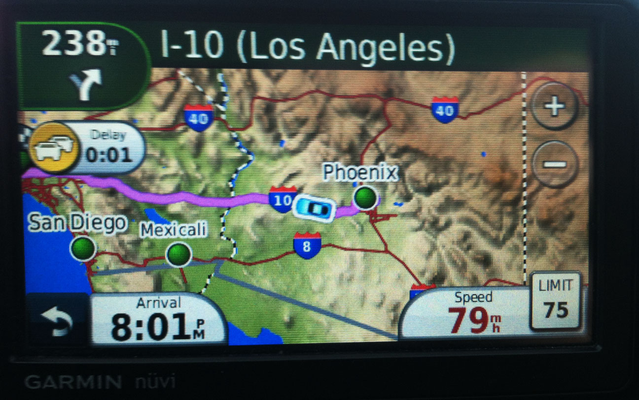
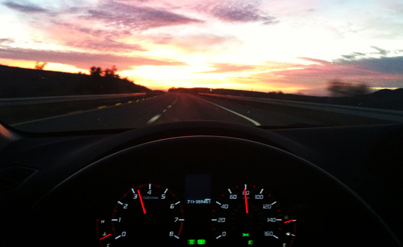
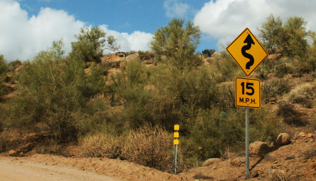
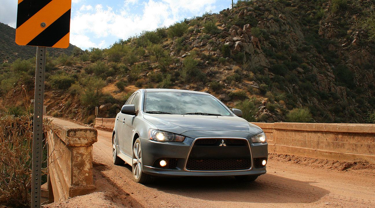
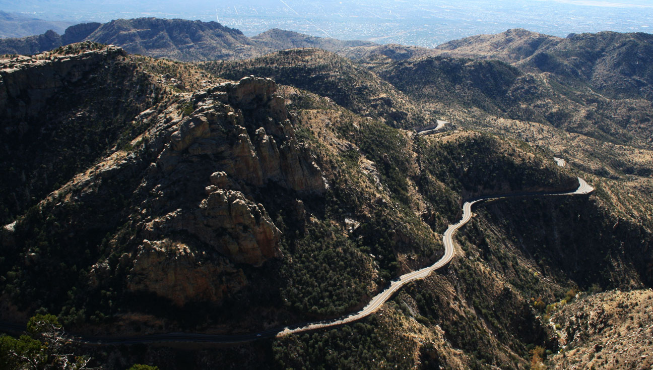
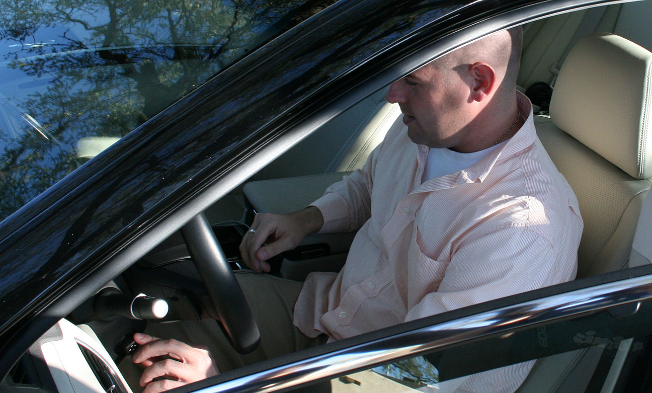
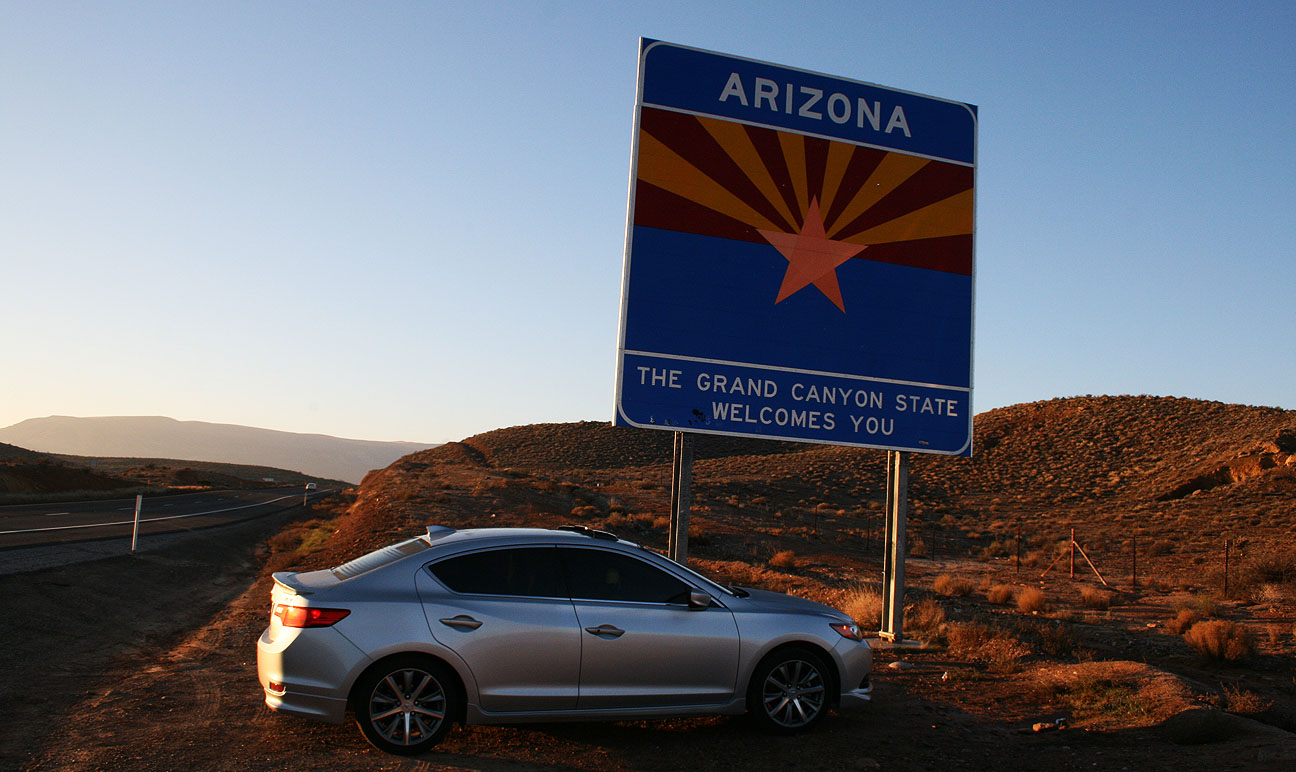
Yesterday, I made the return 430-mile drive to my home in Scottsdale, Arizona. Along the way, I took a couple of impromptu detours. The first was a stretch of old US Highway 91 between Littlefield, Arizona and Mesquite, Nevada where I captured this picture in the morning light. I had the road to myself!

The second was a short visit to an 1860’s mining town north of Kingman, Arizona called “Chloride” which I’ll save for a separate blog entry in the near future. Below are the photos and video that we took during our hike at Shinob Kibe.
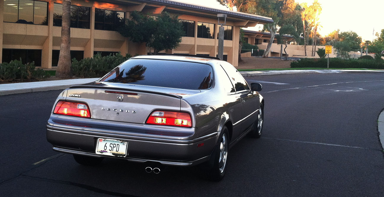
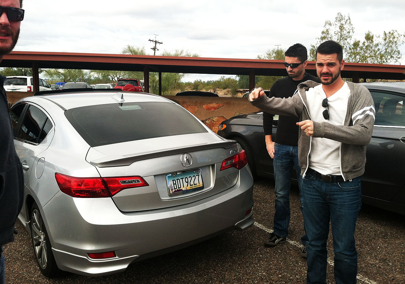
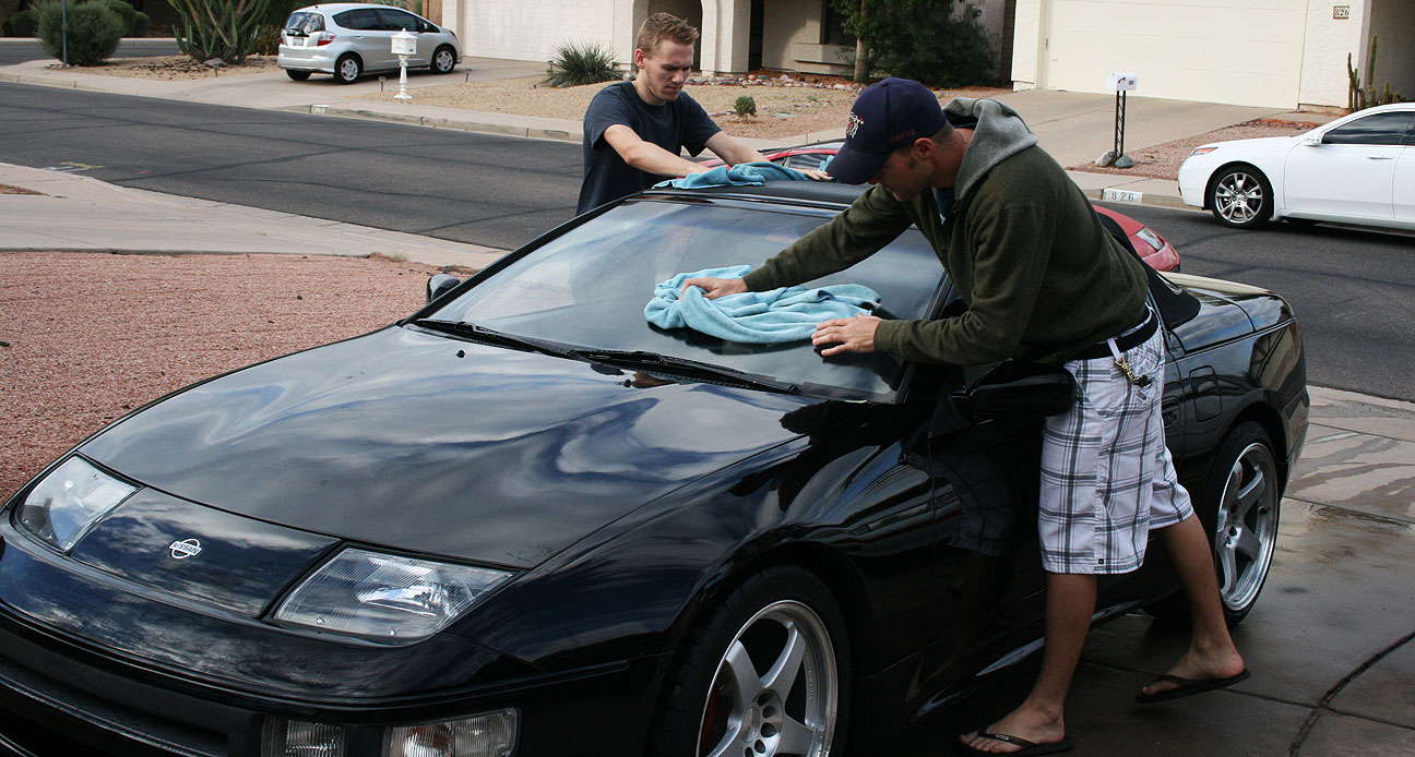
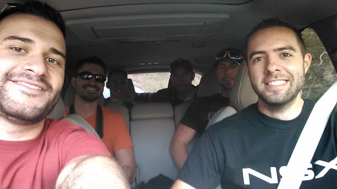
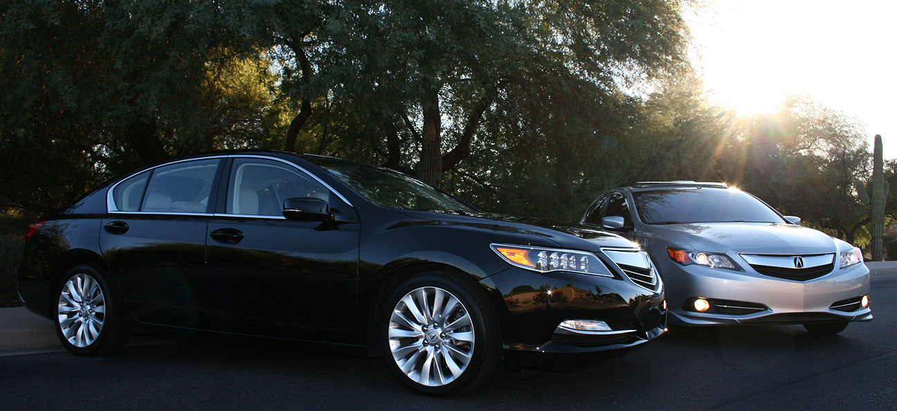
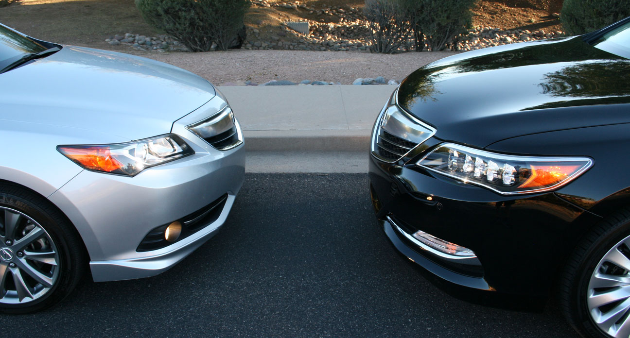
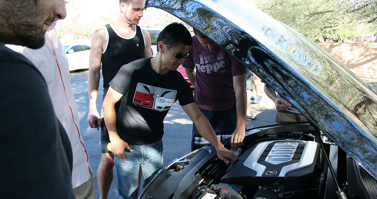
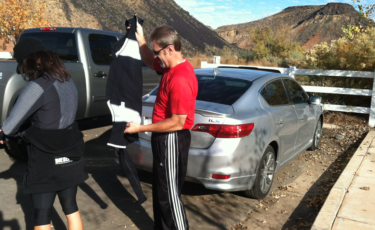
On Friday afternoon, we loaded up the Acura ILX with with bottled waters and a few snacks for the ascent.

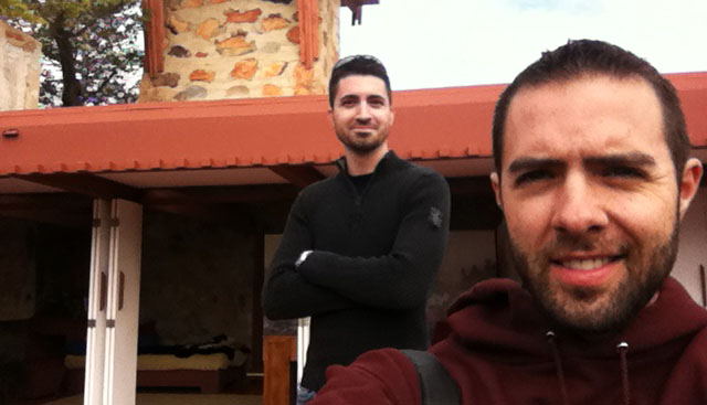
Tia, Todd, and Tyson in Transport to the Trail. Is that enough T’s for you? Some other friends followed in a separate vehicle to meet us in Washington where the hike began.

We parked at the trailhead which is now part of a residential community on Paiute Drive. Back in the 1930s, there were no homes anywhere near this area but suburban growth has brought development right to the base of the mountain.
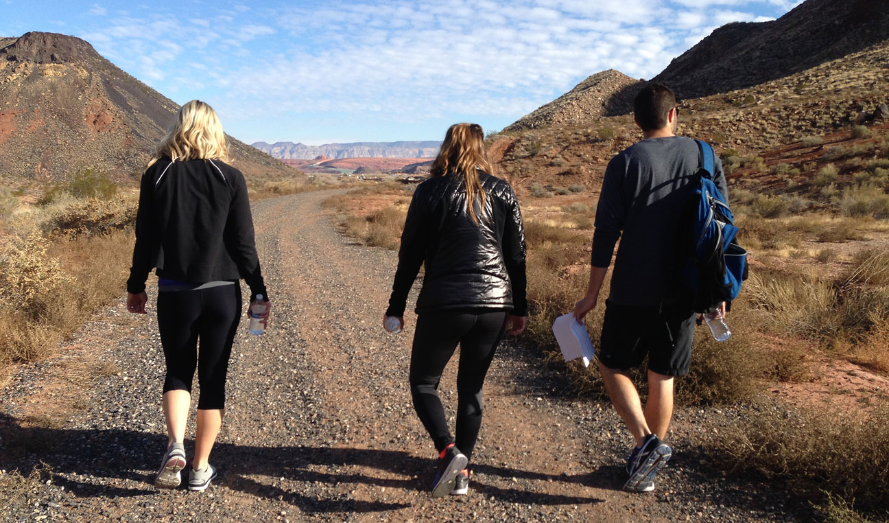
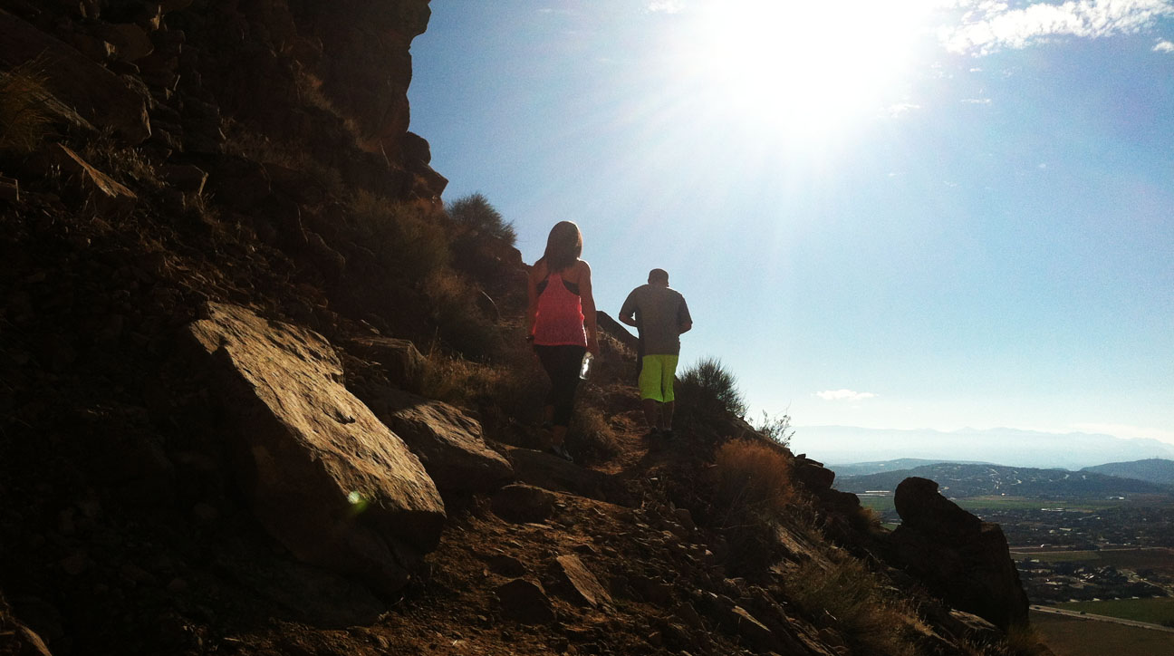
Soon we were on our way to find this elusive navigation arrow. Pictured here are Melynn, Holly, and myself (notice, with trail notes printed and in-hand!).
Todd and Tia making their way up the face of the mountain. We initially had a tough time finding the trail itself, so we forged our own way until we met up with it.

Melynn was taking a breather to admire the surrounding views.

Late afternoon weather was optimal. We got our cardio workout in while burning off some of those Thanksgiving calories.
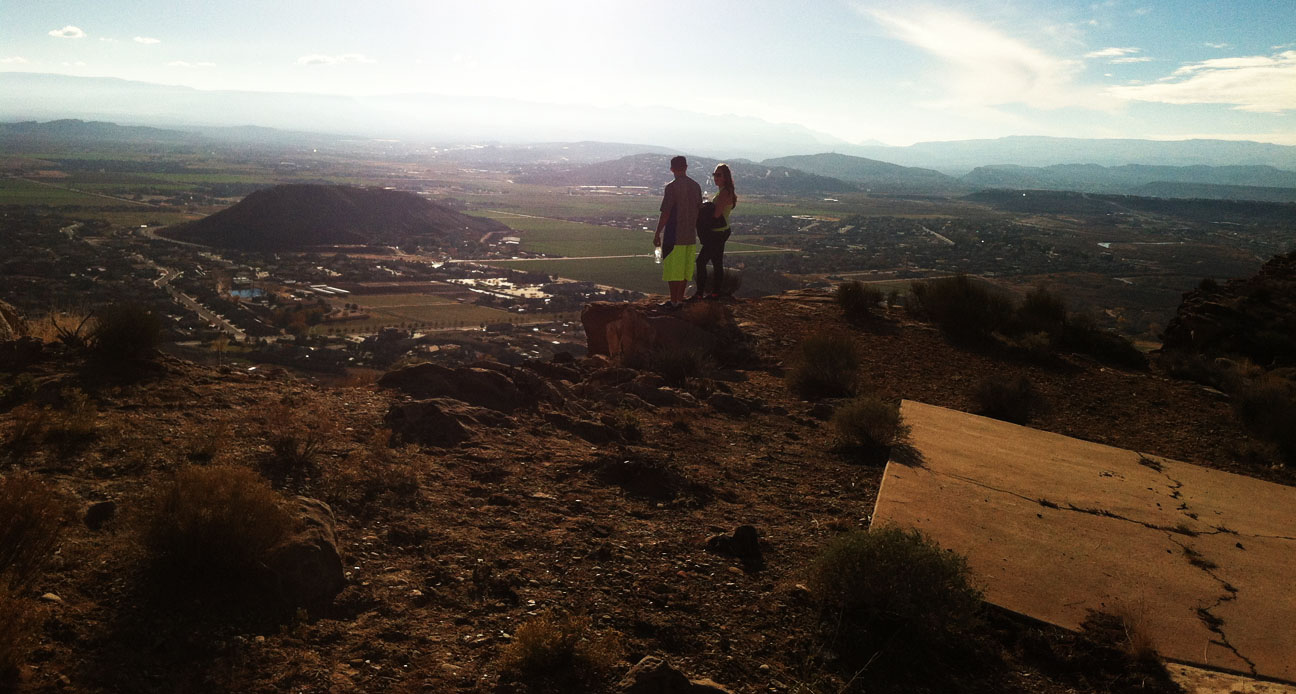
After we zig-zagged our way up the face of the peak, the trail leveled out a bit. Just a bit further up the sloping grade, we could see a post with a metal box attached to it. We had arrived!

Here I was standing at the tip of the arrow, at elevation 3,228 feet.
![]()
Danielle and Melynn set to work signing us into the register. There were multiple filled notebooks inside the metal box. The summit is also a popular place for geocaching.

The concrete arrow today is still in decent shape with surprisingly little cracking. The center square pad is where the 50-foot-tall tower once stood; we could still see the base of the metal tower that had been cut off.
![]()
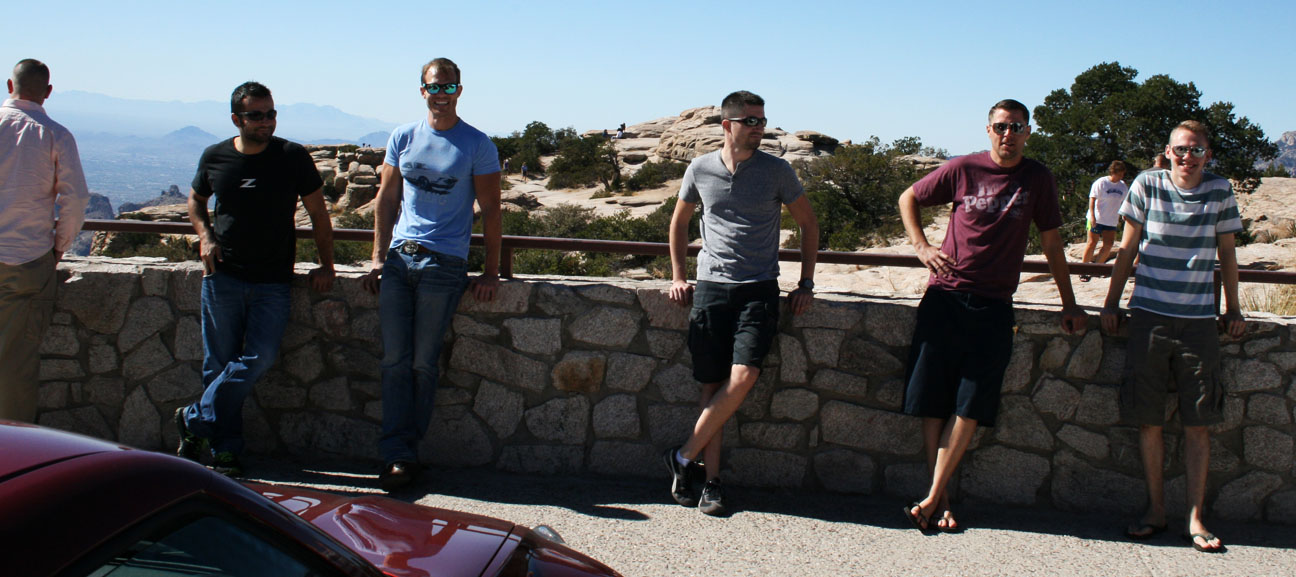
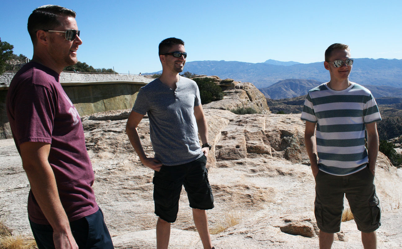
Mitch, Tyson, Todd admiring the arrow.

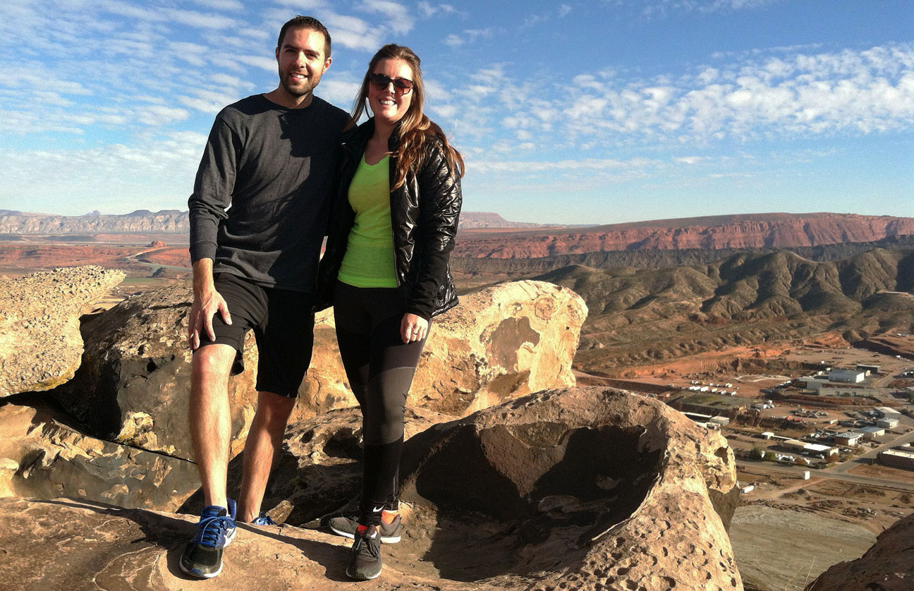
Standing at the top of the world – or at least on top of one of the many peaks in Washington County, Utah.

The view from this area is stunning, since it wraps a full 360 degrees.
Tia was visibly a bit nervous to be standing on the edge of a several hundred foot dropoff.

Holly and I weren’t too concerned, however.
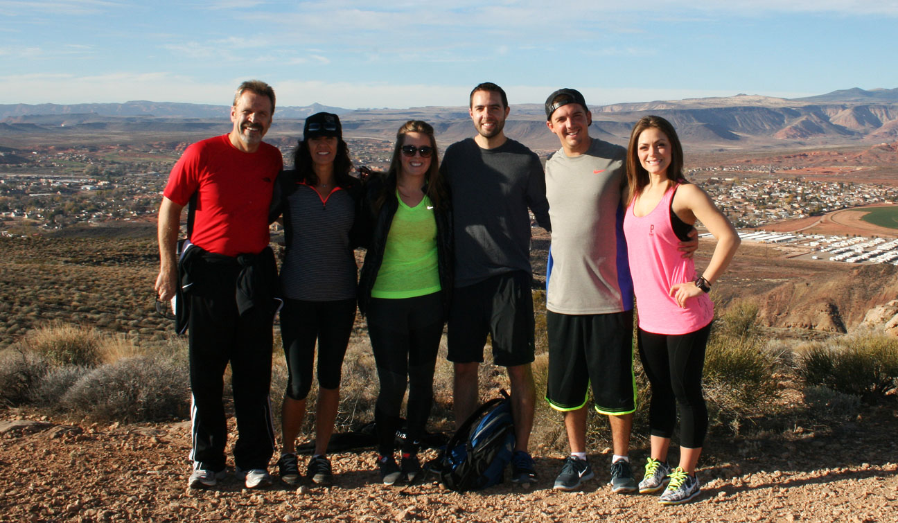
Group shot (thanks Melynn for taking it!): Todd, Tia, Holly, Tyson, Mitch, Danielle
The descent went quickly.

And soon, we had arrived back at our chariot!

Sunday’s return to Phoenix started around 7:30 in the morning, as I made my way down Interstate 15 to the Arizona state line on a crisp November day.
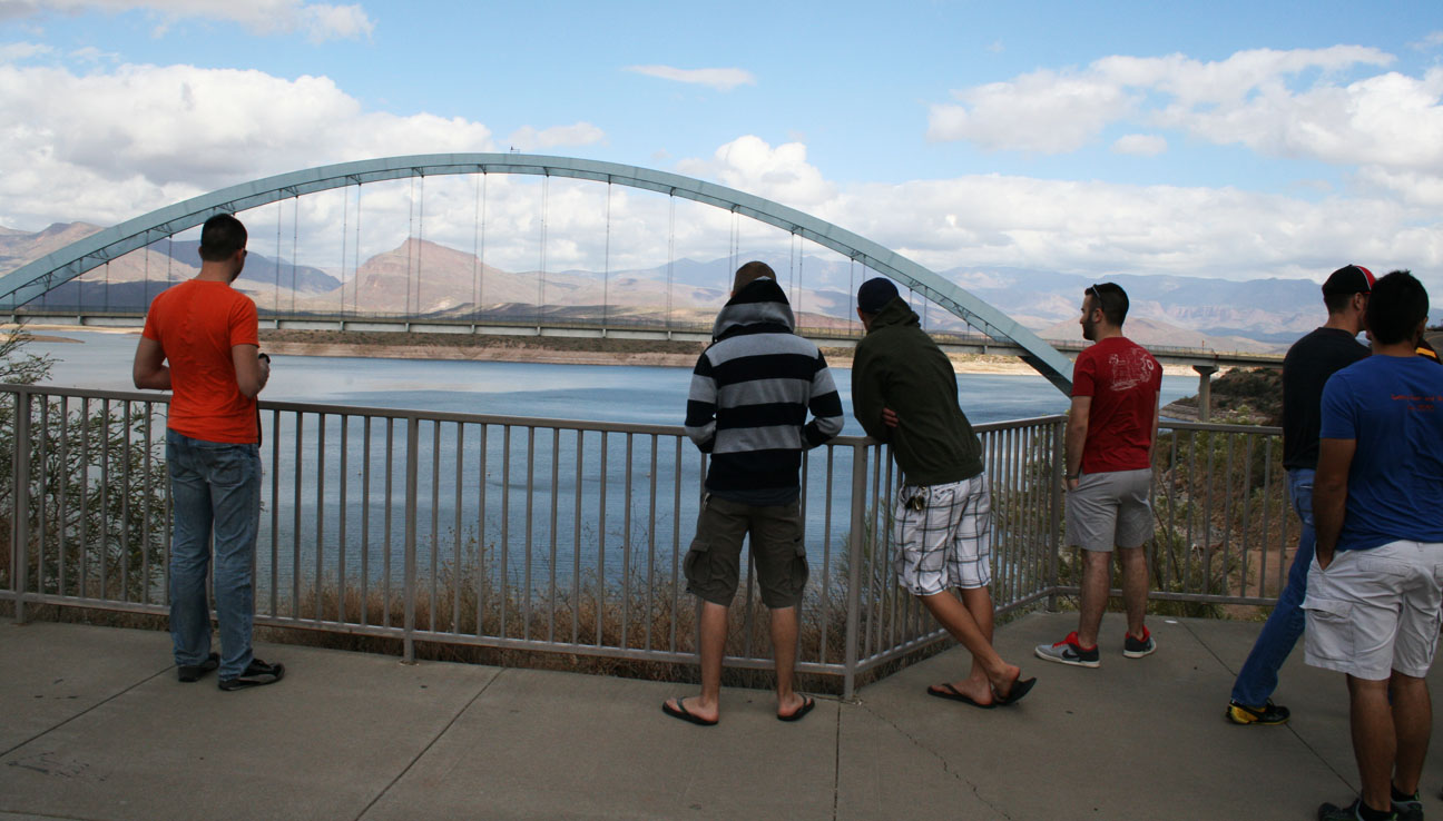
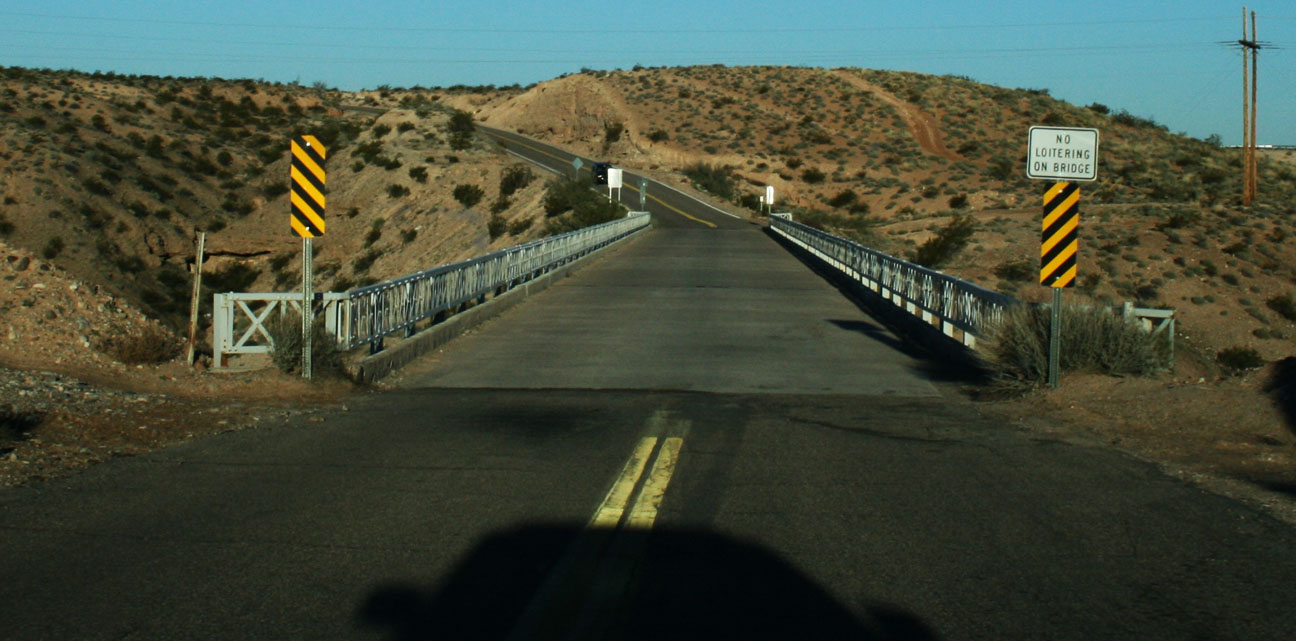
The detour along old Highway 91 took me across this old bridge that’s barely wide enough for two cars to squeeze by one another going opposite directions. I love exploring infrastructure like this, and I took the opportunity to park the ILX and walk around beneath the bridge for a few minutes.
My last oil change in the ILX was on August 17th, 2013 at 52,237 miles. At 61,016 miles (8,689 miles later!), the “Maintenance Minder” popped up and alerted me that remaining oil life was at 15% and instructed me to schedule an A13 service. I spoke on the phone with Acura of Tempe and learned that an A13 includes oil and filter change, tire rotation, and replacement of the transmission fluid. I’m scheduled for that service tomorrow.

Until next time!