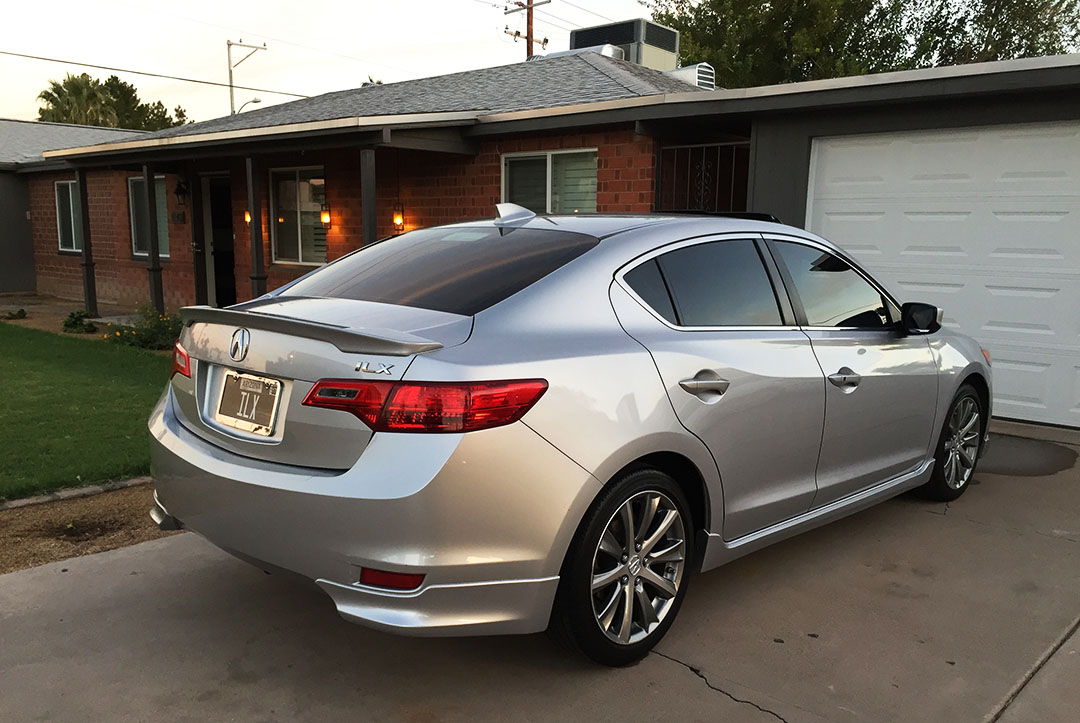
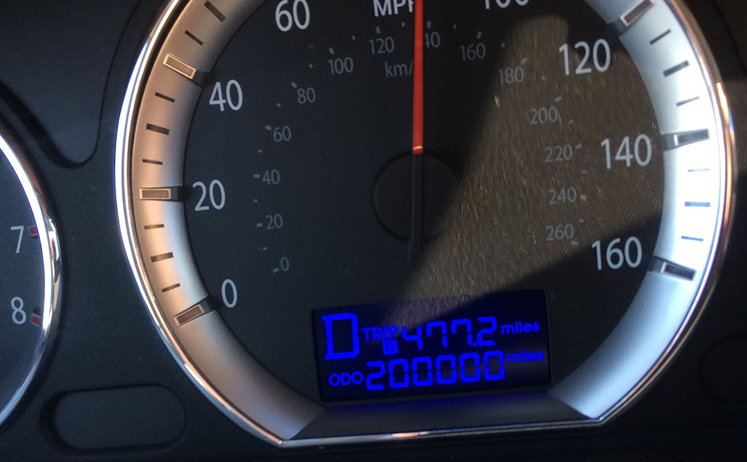
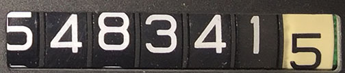
Odometer (ILX): 184,729
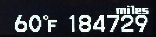
Trip Distance: 303 Miles

Nature’s peaceful silence was remarkable as we looked out from the Bill Williams Overlook upon one of Arizona’s most remote bodies of water, some 40 miles out into the desert northwest of Wickenburg. Aside for the crunch-crunch of shoes on the gravel when someone walked, it was perfectly quiet and there wasn’t another soul as far as the eye could see. We had to stand there and appreciate it for a few minutes.

Just then, the growl of a Harley-Davidson motorcycle broke the silence and we were joined by what may very well have been Alamo Reservoir State Park’s only other visitors that day. Lance from our group called the biker couple “Merl and Pearl.” And they were pleasant company! Nice enough, in fact, to snap a photo of us.

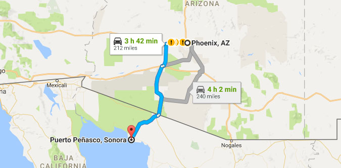
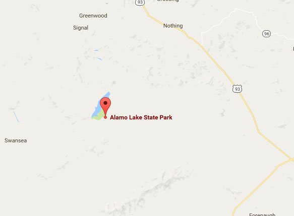
It had been awhile since I did any exploration in the Great State of Arizona, so I pulled out Google Maps a few days ago to see what I could dig up. A search for “Arizona State Parks” gave me a myriad of results so I started looking at places I hadn’t yet been. One such destination was Alamo Lake, tucked deep into the wilderness of La Paz County and far from any sort of modern civilization. The map, in fact, reveals just how far away it is from everything. And – how far it is from Nothing. Seriously, “Nothing, Arizona.” It’s on the map, right there to the north.
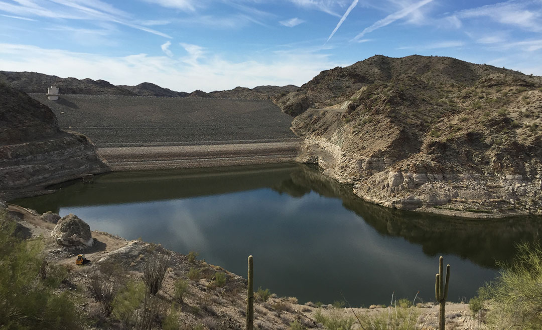
The lake covers 4,900 acres and was created in 1969. Today, it’s occasionally open for water skiing and other recreational sports, but due to exceptionally low water levels currently (some 45 feet below normal), only fishermen and swimmers are allowed out on the lake. Darn, I forgot my swim trunks.
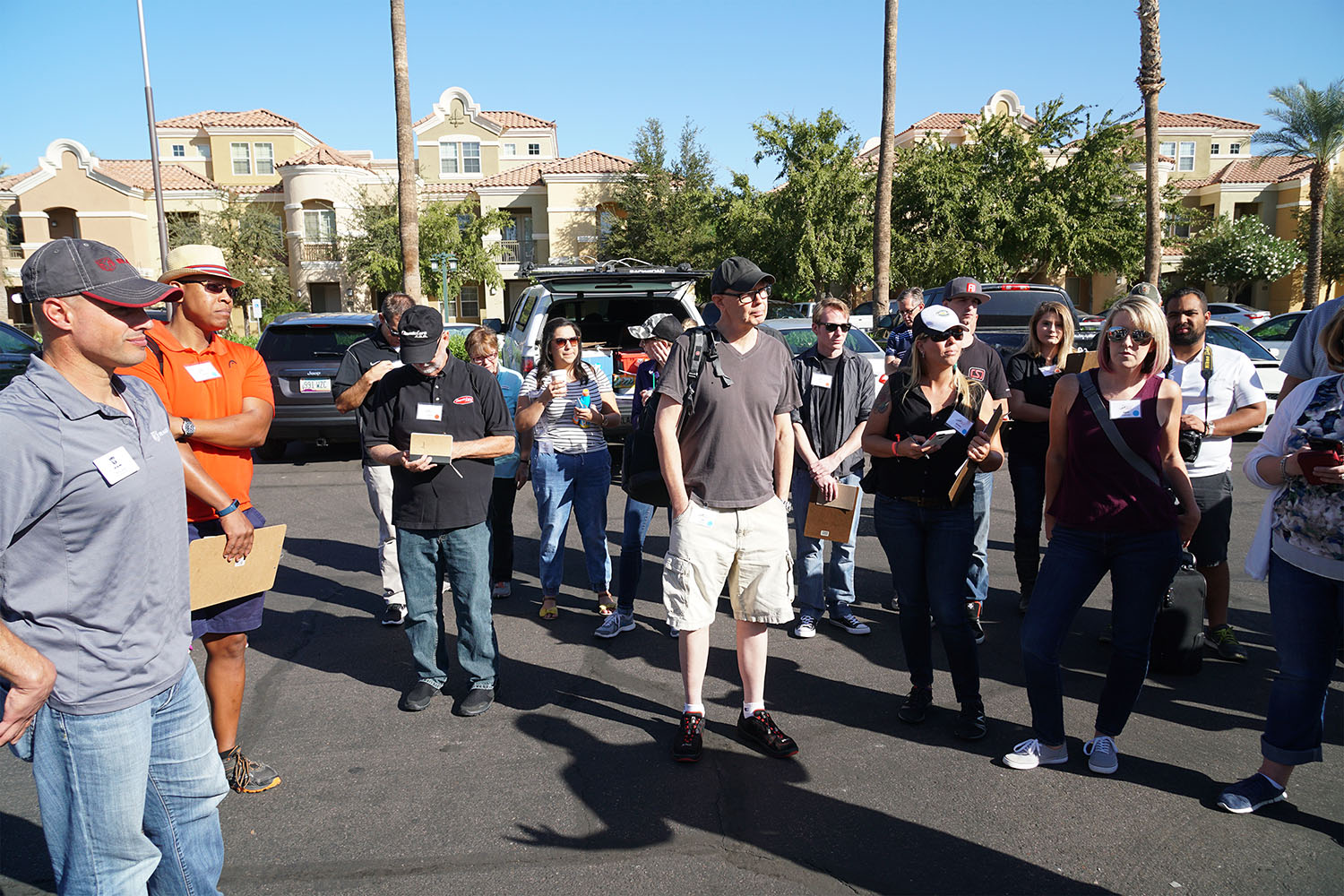
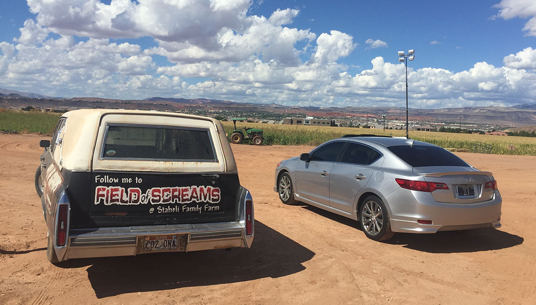
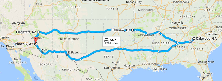
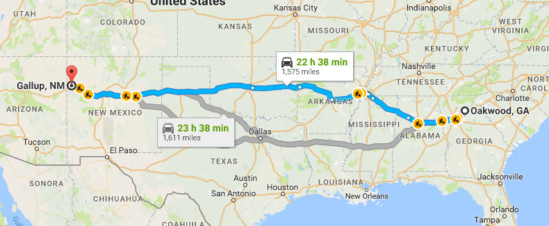
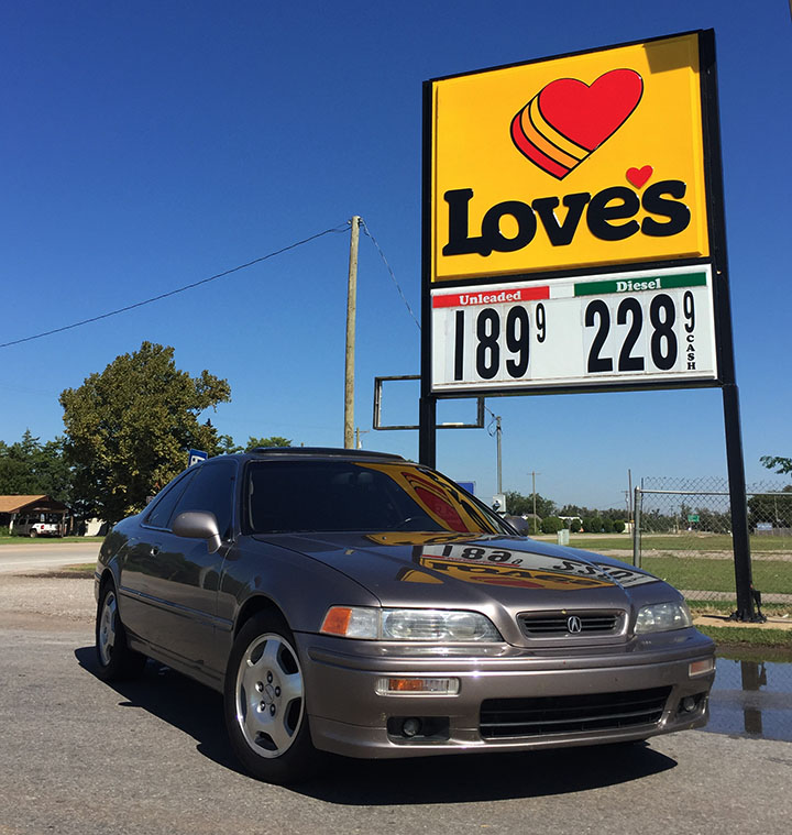
Our day started out in Central Phoenix where my friend Mike and his family met up with me, James, Lance, and Miles to set out in 3 vehicles for the ~300-mile round-trip loop to the lake and back. I took the lead in my ILX, with James and Mike following in a 2017 Cadillac XT5 and a 2017 Acura TLX (a loaner thanks to Pauly Acura in Chicago since they have Mike’s 2009 TSX captive for an airbag repair).

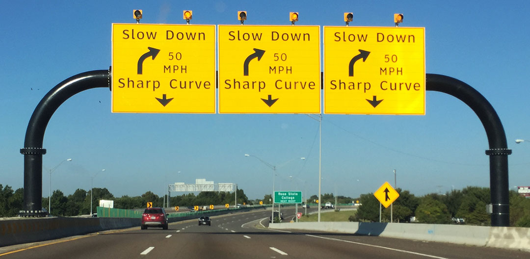
The first 100 or so miles of the trip were on the highly-traveled Interstate 10 corridor which connects the Phoenix area to Los Angeles. From there, we headed north on Vicksburg Road which would soon connect us with US Highway 60. The 60 was once the main thoroughfare from Phoenix to LA long before the interstate punched through the desert.
One of many oases (I think that’s the first time I’ve used that word in plural form) along the path was the teeny town of Hope, Arizona. It consists of little more than an RV park, gas station, church, and antique store. But perhaps its most remarkable feature, for me anyway, is the sign greeted by visitors as they exited the east end of town, which in gramatically-incorrect form, tells people they’re now beyond hope.

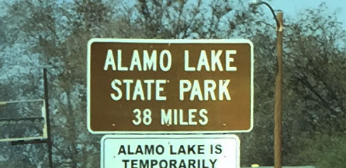
Our trio of vehicles headed north on Alamo Highway from Wenden and ventured deeper into the desert for the next 35 miles until we arrived at the park entrance. I counted just a couple of other vehicles along the way. The park ranger at the small visitor center was very friendly and gave us some tips on how and where to navigate our way around the area. He even waived our $7-per-car entry fee and gave us passes for free. He recommended hitting up the Bill Williams Overlook, which was our next stop 1.4 miles up the road. That’s where we met Merl and Pearl.

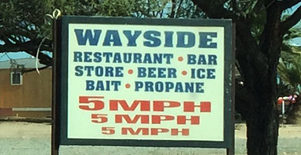
By now, everyone had worked up an appetite. I’d noticed a couple of small blue signs alongside the road on our way to the lake which read “WAYSIDE.” I’d also asked the park ranger about this. It’s a restaurant, he told us. But it was about 3 miles down a dirt road. I looked to Michael and asked if he’d be okay taking his 2,700-mile (loaner) TLX on such a road, and he said he didn’t mind. Of course he didn’t!

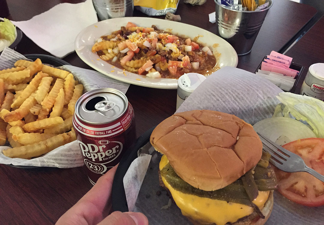
Wayside was indeed quite the oasis. I couldn’t help but wonder as I kicked up a cloud of dust on the dirt road headed toward it, passing massive Saguaro cacti, “There’s a restaurant out HERE?” We had the entire wait staff’s attention as we placed our orders for green chili burgers, chili cheese fries, and fried zucchini. There was a surprising selection of food for being in the middle of nowhere. Our orders took a while to prepare, but we enjoyed the downtime because it gave Lance a chance to battle me in a game of billiards (in which I beat him).

Heart attack, coming right up!
The return trip took us through more of Arizona’s oft-bypassed and cowboy-themed Western towns including Aguila (Spanish for “eagle”) and Wickenburg. The sun was starting to creep below the western horizon in our rearview mirrors by the time we arrived back in the Phoenix Valley. It was a long day but enjoyable thanks to the great company we had. Thanks for coming along for the adventure!
Group shot at the entrance/exit to Hope

Lonely desert backroads

Entrance to Alamo

Map of the Alamo Lake area in the Visitor Center

Narrow road toward the dam (damn) overlook

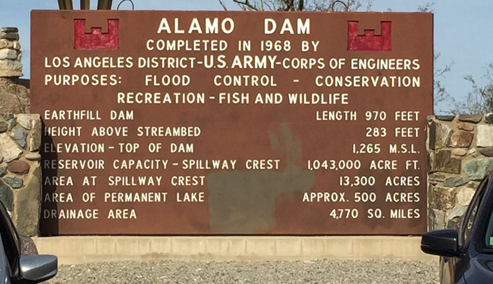
Some dam facts for you
You can see how low the water level is right now
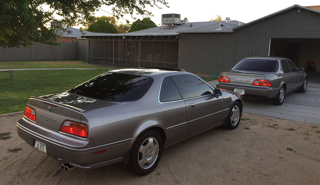
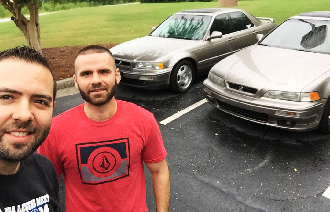
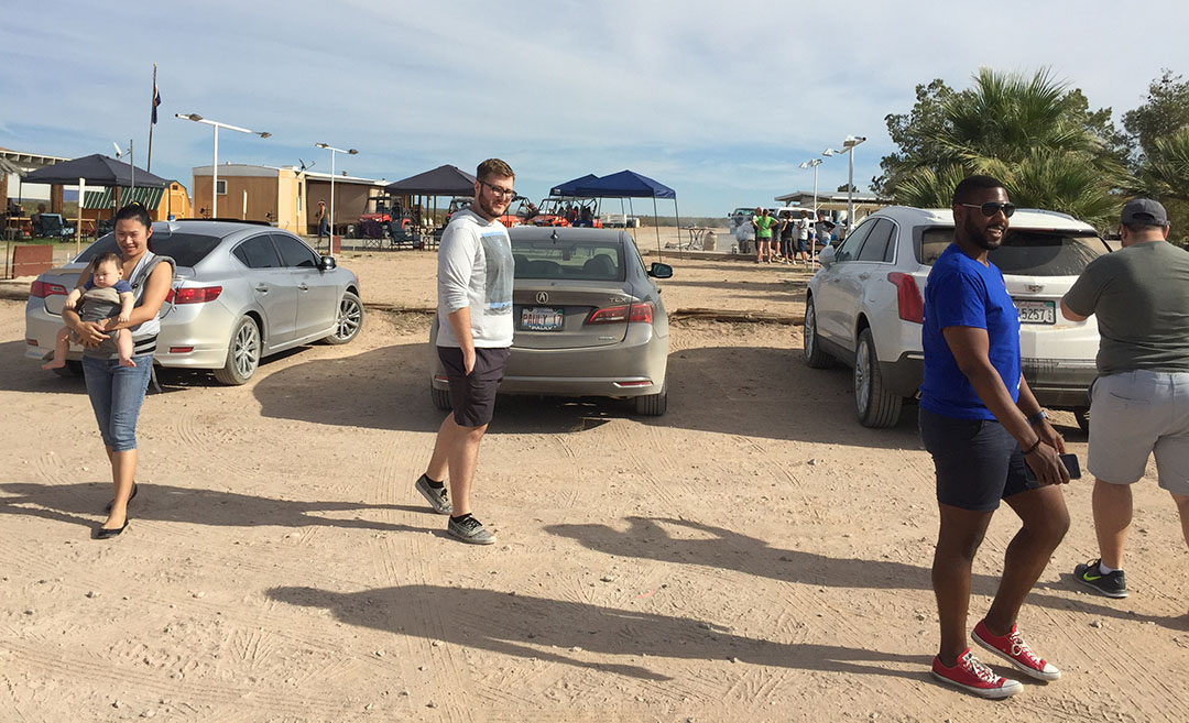
ILX & TLX with their occupants, minus Michael’s 7-month-old baby Benjamin

Looks like a nice swim

5 MPH, 5 MPH, 5 MPH. Do you think Wayside Oasis doesn’t want people to stir up dust?
Arrival at our lunch spot
The Wayside doesn’t look like much. The staff members were nice, though!

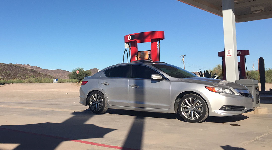
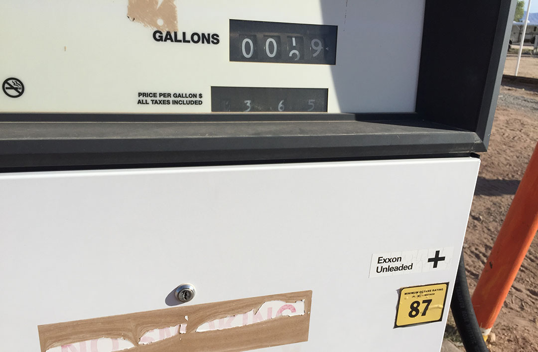
…. Plus you can get gas there. 87 octane for $3.65. No Premium available.
Pennies on the men’s room floor!